 Block
Block
Ohio Furnace, Ohio
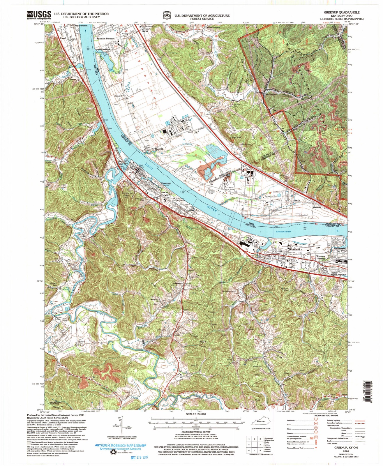
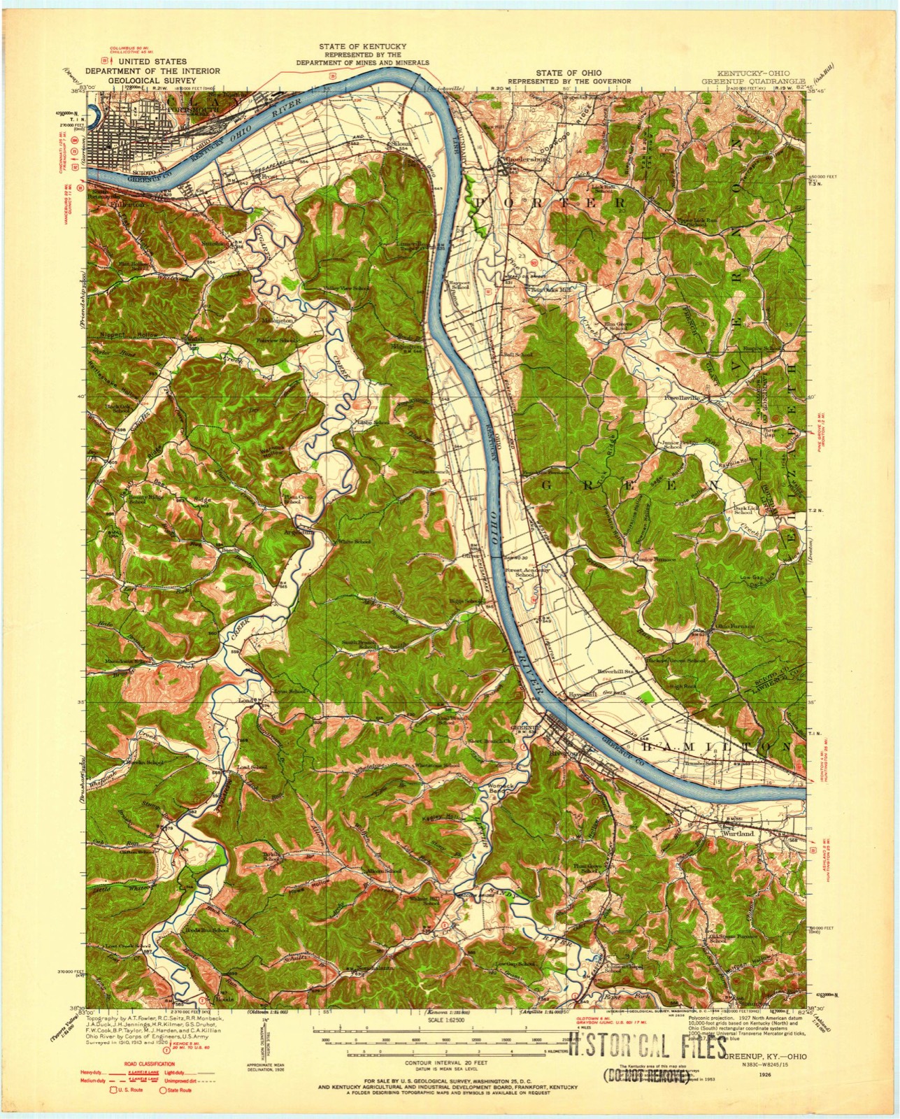
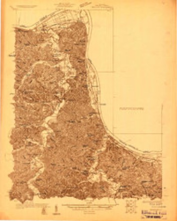
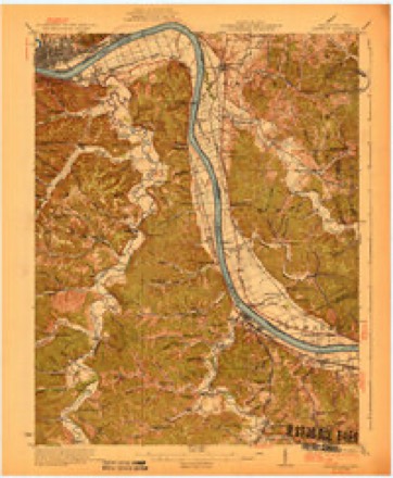
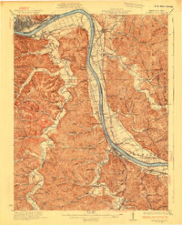
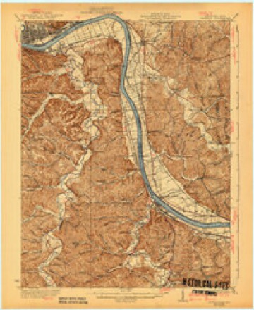
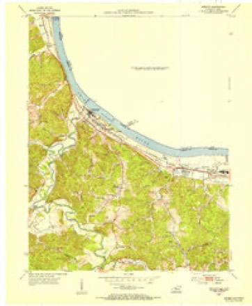
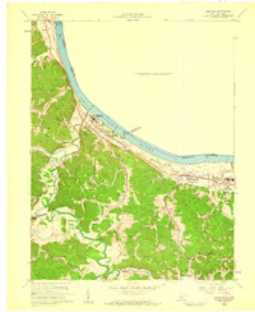
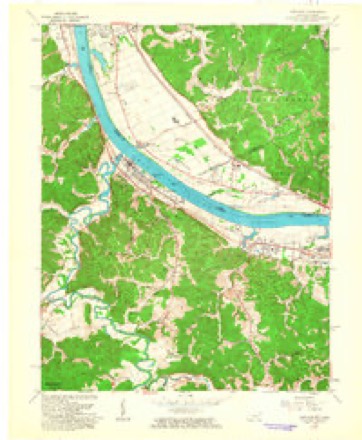
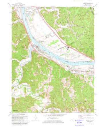
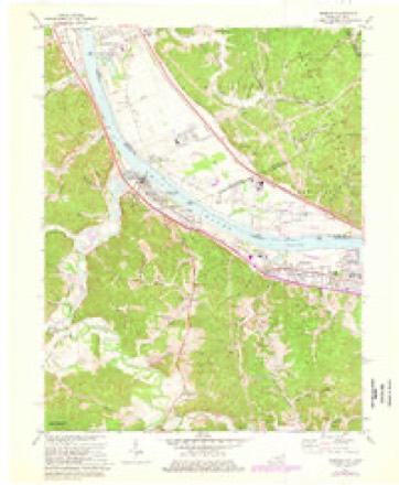
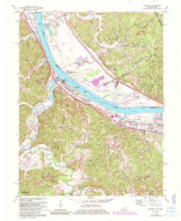
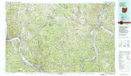
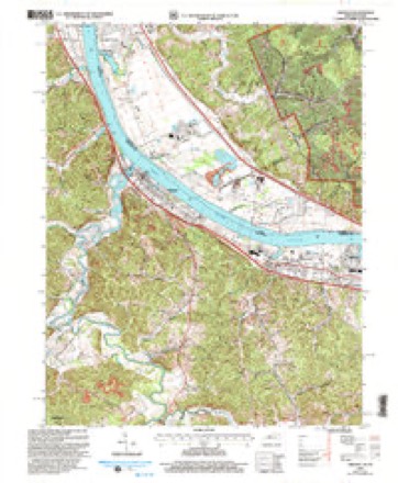
18 topographic sheets cover this place, the earliest surveyed in 1926 and the latest in 2002. It stands in Green Township. It lies in ZIP code area 45638. It lies in German Hollow. The Survey maps it on the Greenup quadrangle.
Then and now
1926 to 2002The same ground, surveyed 76 years apart. Drag the handle to wipe between them. Both sheets are United States Geological Survey originals; neither has been altered.
Compare 1926 against another survey:
Topographic sheets covering this place
18 sheetsMatched by testing this settlement's coordinate against the published boundary of every sheet in the United States Geological Survey's historical collection. Each opens the scanned sheet at the Survey.
- 1926 USGS Greenup quadrangle1:62500
- 1926 USGS Greenup quadrangle1:62500
- 1926 USGS Greenup quadrangle1:48000
- 1930 USGS Greenup quadrangle1:62500
- 1930 USGS Greenup quadrangle1:62500
- 1930 USGS Greenup quadrangle1:62500
- 1953 USGS Greenup quadrangle1:24000
- 1957 USGS Huntington quadrangle1:250000
- 1957 USGS Huntington quadrangle1:250000
- 1957 USGS Huntington quadrangle1:250000
- 1958 USGS Greenup quadrangle1:24000
- 1960 USGS Huntington quadrangle1:250000
- 1961 USGS Greenup quadrangle1:24000
- 1972 USGS Greenup quadrangle1:24000
- 1972 USGS Greenup quadrangle1:24000
- 1972 USGS Greenup quadrangle1:24000
- 1981 USGS Ironton quadrangle1:100000
- 2002 USGS Greenup quadrangle1:24000
In the county-history sources
7,694 words on this townshipA History of Scioto County, Ohio,, published 1903; History of Scioto County, Ohio, Together with a Pioneer Record of Southern Ohio, published 1903 names this settlement in its chapter on Green Township. These are the passages that mention it, exactly as the scans read.
Ohio Furnace was located about three miles from the Ohio river, was built in 1824, and went into blast the following year with John T. Woodrow as Superintendent with a force of fourteen men. It was built by Thomas W. Means and David Sinton and it was continued in blast until February 24, 1882, without a break except for repairs. It passed into the hands of Means, Kyle & Company, who still own the grounds and land belonging to the furnace. Some' traces of the furnace remain. A large quantity of coal and iron ore are mined on the furnace lands. The ore is used in Hamilton Furnace at Hanging Rock. The ore is taken to a place near Union landing by means of a tramway and is there loaded on Norfolk & Western cars. The furnace site, and all the land which belonged to Means, Kyle & Company, was sold to Rogers, Brown & Company, in 1900.
Passage source: A History of Scioto County, Ohio,, published 1903.
At the meeting of the Commissioners, March 2, 1824, for the purpose of fixing the boundaries of the townships of the county, the lines of Green were established as follows: "Beginning at the mouth of Hale's Creek (now Pine Creek) on the Ohio river, then up said river to the Lawrence County line, then with said line to where said line leaves the back line of the French Grant; thence westerly to the corner between lots Nos. 58, 59, 71 and 70; thence northwesterly to the corner between lots Nos, 63, 64, 75 and 76; thence southwest with the line of lot No, 64 to the line between lots Nos. 51 and 64; thence northwesterly with the division lines of the lots to the lower line of French Grant; thence to the southeast corner of Section No, 22, in Range 20, Township No. 2: thence north one mile to the northeast corner of said section; thence west to Hale's Creek; thence down said creek to the place of beginning, which boundaries sall constitute Green Township." On March 2, 1882, Green's territory was curtailed to form a part of Harrison organized that year. In 1886, the farm of William Montgomery was taken from Green and included in Porter, In 1841, the boundary was changed so as to include that portion of the French Grant which had been within the boundary of Vernon since 1824. On June 10, 1848, the boundary on the northwest was established as it stands at present with the exception of a farm of forty acres, belonging to L. Benton which has since been transferred to Porter,
Passage source: History of Scioto County, Ohio, Together with a Pioneer Record of Southern Ohio, published 1903.
Machine-read from a century-old scan, so expect the errors a machine makes: misspelled names, dropped words, stray characters.
Read the whole chapter on Green Township - it names this place 2 more 2 times.
Fires near this place
136 since 1992Regional context, not property-specific evidence. The federal wildfire occurrence database lists 136 fires within 5 miles of Ohio Furnace between 1992 and 2019, burning about 1,660 acres in total. None started naturally. 20 were recorded as arson. Distance is straight-line from the map coordinates, so a fire counted here may appear on a neighbouring settlement's page as well.
| Reported cause | Fires |
|---|---|
| Debris and open burning | 49 |
| Missing data/not specified/undetermined | 38 |
| Arson/incendiarism | 20 |
| Recreation and ceremony | 10 |
| Power generation/transmission/distribution | 7 |
| Equipment and vehicle use | 6 |
| Other causes | 3 |
| Smoking | 2 |
| Misuse of fire by a minor | 1 |
The most recent of them, most recent first, with the day each was reported and the service that recorded it.
| Date | Cause | Size | Reported by | Name on the report |
|---|---|---|---|---|
| 8 September 2015 | Equipment and vehicle use | 4.0 acres | Wayne National Forest | GREEN GRASS |
| 5 September 1998 | Debris and open burning | under an acre | Wayne National Forest | BAILEY |
| 20 September 2007 | Missing data/not specified/undetermined | 1.0 acres | Wayne National Forest | HANGING ROCK SPUR A |
| 10 September 2018 | Power generation/transmission/distribution | 250 acres | Ohio Department of Natural Resources | 11905 |
| 10 September 1998 | Smoking | 5.0 acres | Wayne National Forest | PINE CR. 650/522 |
| 1 September 2007 | Missing data/not specified/undetermined | 7.0 acres | Wayne National Forest | SNAP 2 FIRE |
| 8 July 2017 | Recreation and ceremony | under an acre | Wayne National Forest | HANGING ROCK #1 |
| 2 July 1999 | Equipment and vehicle use | 1.0 acres | Wayne National Forest | BOLL |
Settlements close enough to share some of these fires:
Specimens collected near this place
12 of 112 shownRegional context, not property-specific evidence. Museums hold 112 specimens collected within 10 miles of Ohio Furnace between 1890 and 1970: 85 Animalia, 18 Fungi, 9 Plantae. 12 distinct Species records are shown. Collected by Braun, E. Lucy, Cavender, T. M. (Ted M.), Cavender, T. M. (Ted M.), Trautman, M. B. (Milton Bernard) & Billy, G. (George) and others. Each is a physical object with a catalogue number, and each entry opens the museum's record. This is what was collected and kept, not a survey of what lives here - nothing can be concluded from a species being absent.
| Image | Species | Year | Collected by | Where, as recorded |
|---|---|---|---|---|
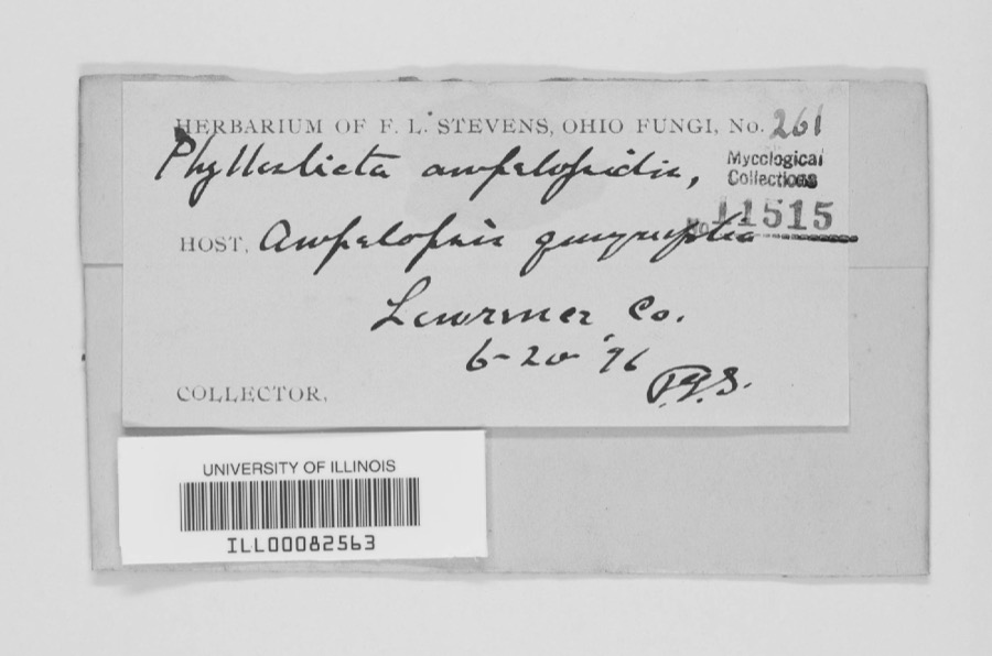 | Phyllosticta Pers., 1818 | 1896 | F.L. Stevens | |
 | Helmitheros vermivorum (J.F.Gmelin, 1789) | 1890 | Edwin H. Eames | Culvertown |
 | Alternaria Nees | 1919 | Ricker A. J. | Wheelersburg |
 | Puccinia graminis Pers. | 1919 | Riker A. J. | Wheelersburg |
 | Puccinia rubigo-vera var. tritici (Erikss.) Carleton | 1919 | Riker A. J. | Wheelersburg |
 | Acris crepitans Baird, 1854 | 1928 | Walker, C. F. (Charles F.) | pond, near Pedro, Lawrence Co., Ohio |
 | Campostoma anomalum anomalum | 1928 | Hine, J. S. (James Stewart) & Walker, C. F. (Charles F.) | Pine Creek, within Elizabeth township, near Bartles, Elizabeth township |
 | Catostomus commersonii (Lacepède, 1803) | 1928 | Hine, J. S. (James Stewart) & Walker, C. F. (Charles F.) | Pine Creek, within Elizabeth township, near Bartles, Elizabeth township |
 | Chrosomus erythrogaster (Rafinesque, 1820) | 1928 | Hine, J. S. (James Stewart) & Walker, C. F. (Charles F.) | Pine Creek, within Elizabeth township, near Bartles, Elizabeth township |
 | Ericymba buccata Cope, 1865 | 1928 | Hine, J. S. (James Stewart) & Walker, C. F. (Charles F.) | Pine Creek, within Elizabeth township, near Bartles, Elizabeth township |
 | Etheostoma nigrum Rafinesque, 1820 | 1928 | Hine, J. S. (James Stewart) & Walker, C. F. (Charles F.) | Pine Creek, within Elizabeth township, near Bartles, Elizabeth township |
 | Lepomis cyanellus Rafinesque, 1819 | 1928 | Hine, J. S. (James Stewart) & Walker, C. F. (Charles F.) | Pine Creek, within Elizabeth township, near Bartles, Elizabeth township |
All 112 specimens within 10 miles, at the Global Biodiversity Information Facility.
Mines and quarries near this place
6 within 5 milesRegional context, not property-specific evidence. The federal mineral resources record lists 6 workings within 5 miles of Ohio Furnace: 5 past producers, 1 plant. 1 still produces. What was taken out: Clay, Sand and Gravel, Construction. Distance is straight-line from the map coordinates, so a quarry counted here may appear on a neighbouring settlement's page as well.
| Where | Site | Commodity | Status | Recorded |
|---|---|---|---|---|
| Bush-Corn Mine | Clay | Past Producer | ||
| Franklin Furnace Pit | Sand and Gravel, Construction | Past Producer | Sedimentary | |
| Franklin Furnace Pit | Sand and Gravel, Construction | Past Producer | ||
| Haverhill Plant & Dredge | Sand and Gravel, Construction | Plant | ||
| Hoods Run Mine | Clay | Past Producer | ||
| Smith Mine | Clay | Past Producer |
Nearest settlements
The eight closest, with where each one stands in the county. Distances are straight-line, computed from the Geographic Names Information System coordinates.
| Map | Place | Distance | Sheets |
|---|---|---|---|
| Junior Furnace | 1.9 miles | 18 | |
| Haverhill | 2.8 miles | 18 | |
| Highland Park | 4.0 miles | 16 | |
| Powellsville | 4.4 miles | 16 | |
| Franklin Furnace | 4.5 miles | 16 | |
| Sand Hill | 7.4 miles | 16 | |
| Allentown | 7.5 miles | 16 | |
| Garden City | 8.1 miles | 16 |
Elsewhere
Matched on this settlement's Geographic Names Information System number rather than its name, so it cannot be a different place of the same name in another state.
| Wikidata item Q122589641 | The structured record the population and elevation above come from. Public domain (CC0). |
Provenance
This settlement is recorded in the Geographic Names Information System as feature 1076549. The sheet list is computed by point-in-boundary test against the United States Geological Survey's historical topographic inventory. Both are works of the United States government and carry no copyright under 17 U.S.C. 105.
Wildfire. Short, Karen C. 2022. Spatial wildfire occurrence data for the United States, 1992-2020 [FPA_FOD_20221014]. 6th Edition. Fort Collins, CO: Forest Service Research Data Archive. https://doi.org/10.2737/RDS-2013-0009.6 Collected with United States Government funding and usable without additional permissions or fees.
Specimens. Global Biodiversity Information Facility (GBIF), https://www.gbif.org/. Only records licensed CC0 or CC BY are used. Records licensed CC BY-NC are excluded because this site carries advertising. Images are checked individually and any whose licence is non-commercial, no-derivatives or unreadable is refused.
Mines and quarries. USGS Mineral Resources Data System (MRDS) https://mrdata.usgs.gov/mrds/ A work of the United States government, no copyright under 17 U.S.C. 105.