 Block
Block
Olivesburg, Ohio
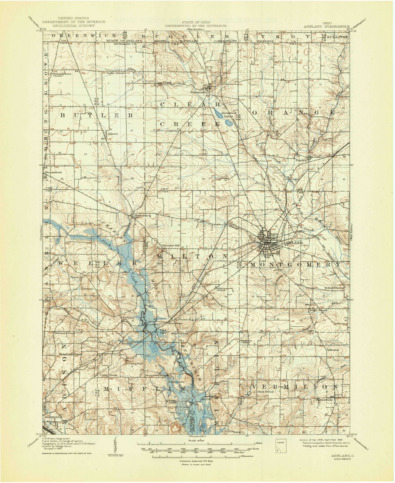
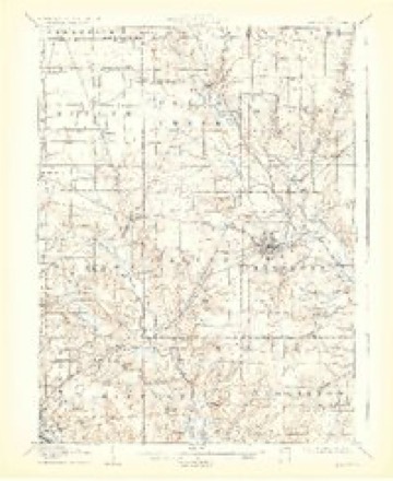
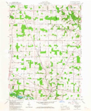
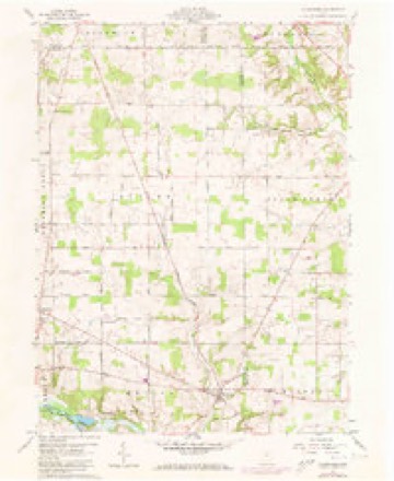
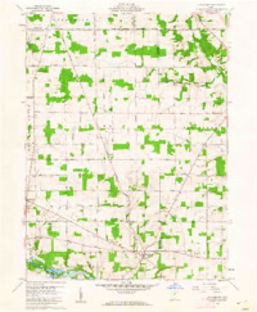
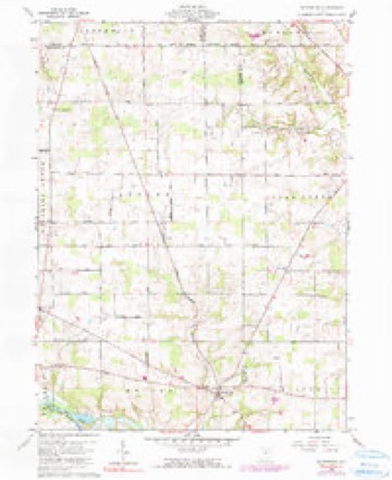
15 topographic sheets cover this place, the earliest surveyed in 1908 and the latest in 1994. It stands in Weller Township. It lies in ZIP code area 44805. The Survey maps it on the Olivesburg quadrangle.
Then and now
1908 to 1994The same ground, surveyed 86 years apart. Drag the handle to wipe between them. Both sheets are United States Geological Survey originals; neither has been altered.

Topographic sheets covering this place
15 sheetsMatched by testing this settlement's coordinate against the published boundary of every sheet in the United States Geological Survey's historical collection. Each opens the scanned sheet at the Survey.
- 1908 USGS Ashland quadrangle1:62500
- 1908 USGS Ashland quadrangle1:62500
- 1908 USGS Ashland quadrangle1:62500
- 1908 USGS Ashland quadrangle1:62500
- 1950 USGS Marion quadrangle1:250000
- 1960 USGS Olivesburg quadrangle1:24000
- 1960 USGS Olivesburg quadrangle1:24000
- 1960 USGS Olivesburg quadrangle1:24000
- 1960 USGS Olivesburg quadrangle1:24000
- 1962 USGS Marion quadrangle1:250000
- 1966 USGS Marion quadrangle1:250000
- 1966 USGS Marion quadrangle1:250000
- 1966 USGS Marion quadrangle1:250000
- 1986 USGS Mansfield quadrangle1:100000
- 1994 USGS Mansfield quadrangle1:100000







In the county-history sources
10,046 words on this townshipHistory of Richland County Ohio, published 1880 names this settlement in its chapter on Weller Township. These are the passages that mention it, exactly as the scans read.
The township contains within its limits a very fine body of land, embracing every variety of soil, and well adapted for the production of grass or grain, as well as every variety of fruit and vegetables. The Black Fork is the principal stream of water and traverses the township from west to east, entering at the northwest corner, near Urick's mill, and continuing an eastward course to Linn's mill, then turns south to the bridge, on' the Wells farm, in the southeast corner of the township. The Whetstone, coming in from the north, and the Brubaker Run from the south, are important branches. The
Passage source: History of Richland County Ohio, published 1880.
The wooded portions of the hill are covered with a dense growth of chestnut, hickory and oak timber. There are men living on the hill now who can remember when the tall chestnut trees - now 100 feet high - were no thicker than a man's thumb. When the abovigines held possession, they burned the forests over annually to prevent the undergrowth from obstructing the distant view of game. Heavy timber would not be affected by the fire, but the land was no doubt impoverished by consuming the decaying vegetable matter.
Passage source: History of Richland County Ohio, published 1880.
Among the first enterprises was the manufacture of whisky ; corn, being very low in price, could be made into whisky and sold at 25 cents a gallon. It constituted the chief article of commerce in those days, considerable being sent to Michigan, and was considered "legal tender" in any kind of trade. A few yards from where Windsor Station now stands, a distillery was run by a Deacon Williamson, who came from Jefferson County, Ohio, in 1817. The good Deacon, who was indeed a worthy man, would, after putting his buzzing, seething enginery in operation, take his seat at the place where the precious fluid made its exit, and, rubbing his hands together, would begin to sing - «Come, Thou fount of every blessing."'
Passage source: History of Richland County Ohio, published 1880.
Machine-read from a century-old scan, so expect the errors a machine makes: misspelled names, dropped words, stray characters.
Read the whole chapter on Weller Township - it names this place 14 more 14 times.
Fires near this place
2 since 2020Regional context, not property-specific evidence. The federal wildfire occurrence database lists 2 fires within 5 miles of Olivesburg between 2020 and 2020, burning about 1 acres in total. None started naturally. None was recorded as arson. Distance is straight-line from the map coordinates, so a fire counted here may appear on a neighbouring settlement's page as well.
| Reported cause | Fires |
|---|---|
| Debris and open burning | 2 |
The most recent of them, most recent first, with the day each was reported and the service that recorded it.
| Date | Cause | Size | Reported by | Name on the report |
|---|---|---|---|---|
| 14 March 2020 | Debris and open burning | under an acre | Ohio Department of Natural Resources | 15503 |
| 7 November 2020 | Debris and open burning | under an acre | Ohio Department of Natural Resources | 15894 |
Settlements close enough to share some of these fires:
Specimens collected near this place
12 of 614 shownRegional context, not property-specific evidence. Museums hold 614 specimens collected within 10 miles of Olivesburg between 1835 and 1975: 486 Plantae, 120 Animalia, 8 Fungi. 12 distinct Species records are shown. Collected by A. S. Percival, Berra, T. (Tim), C F WALKER and others. Each is a physical object with a catalogue number, and each entry opens the museum's record. This is what was collected and kept, not a survey of what lives here - nothing can be concluded from a species being absent.
| Image | Species | Year | Collected by | Where, as recorded |
|---|---|---|---|---|
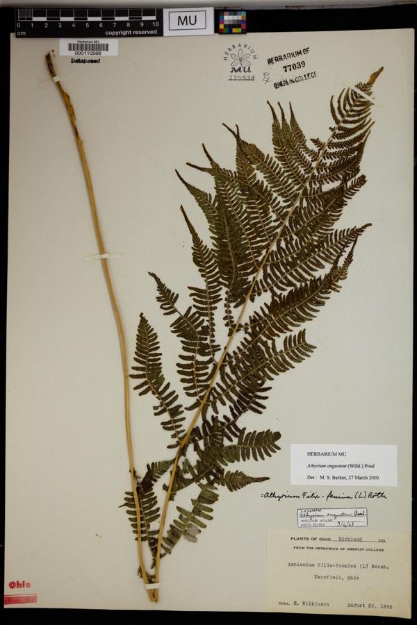 | Athyrium angustum (Willd.) C.Presl | 1895 | Wilkinson, E. | Mansfield. |
 | Alisma subcordatum Raf. | 1835 | Wilkinson, E. | Mansfield |
 | Carex scoparia Schkuhr ex Willd. | 1835 | Wilkinson, E. | Mansfield |
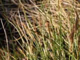 | Carex stricta Lam. | 1835 | Herb. of E. Wilkinson | Mansfield |
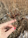 | Penthorum sedoides L. | 1835 | E. Wilkinson | Mansfield |
 | Verbascum thapsus L. | 1835 | Wilkinson, E. | Mansfield |
 | Achillea millefolium L. | 1836 | Wilkinson, E. | Mansfield |
 | Angelica atropurpurea L. | 1836 | Wilkinson, E. | Mansfield |
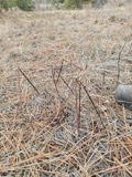 | Apocynum androsaemifolium L. | 1836 | Wilkinson, E. | Mansfield |
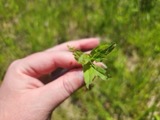 | Epilobium coloratum Biehler | 1836 | Wilkinson, E. | Mansfield |
| Gaura biennis L. | 1836 | Wilkinson, E. | Mansfield | |
 | Hamamelis virginiana L. | 1836 | Wilkinson, E. | Mansfield |
All 614 specimens within 10 miles, at the Global Biodiversity Information Facility.
Mines and quarries near this place
4 within 5 milesRegional context, not property-specific evidence. The federal mineral resources record lists 4 workings within 5 miles of Olivesburg: 3 past producers, 1 producer. 1 still produces. What was taken out: Clay, Clay, Stone, Crushed/Broken. Distance is straight-line from the map coordinates, so a quarry counted here may appear on a neighbouring settlement's page as well.
| Where | Site | Commodity | Status | Recorded |
|---|---|---|---|---|
| Richland Pit | Clay, Stone, Crushed/Broken | Producer | ||
| Ohio Pit | Clay | Past Producer | Sedimentary | |
| Ohio Pit | Clay | Past Producer | ||
| Richland Pit | Clay | Past Producer | Sedimentary |
Storms near this place
6 since 2002Regional context, not property-specific evidence. The National Weather Service names Olivesburg in 6 storm reports between 2002 and 2019: 3 thunderstorm wind, 2 hail, 1 tornado. The reports record 1 injury. Each account below is quoted exactly as the forecast office filed it, from the NOAA Storm Events Database, and each date opens the federal record of that event.
| When | Event | Place named | Harm | What the report says |
|---|---|---|---|---|
| July 2016 | Thunderstorm Wind | Olivesburg | 1 hurt, $15,000 | The Emergency Manager reported that a tree fell on a man on Route 603 northwest of Olivesburg. Numerous trees were also reported down across the County. |
| November 2002 | Hail | Olivesburg | $5,000 | Quarter size hail was observed three miles west of Olivesburg. |
| August 2019 | Thunderstorm Wind | Olivesburg | $2,000 | Several trees and power lines were blown down. |
| June 2005 | Thunderstorm Wind | Olivesburg | - | Winds were estimated by a trained spotter at 60 mph. |
| May 2004 | Tornado (F0) | Olivesburg | - | Law enforcement officers witnessed a tornado touch down in a field along Clayburg Road in northern Weller Township. This location is approximately three miles northwest of Olivesburg. The tornado was only briefly on the ground and caused no damage. |
| November 2002 | Hail | Olivesburg | - | Golf ball to quarter size hail was observed three miles west of Olivesburg. |
Nearest settlements
The eight closest, with where each one stands in the county. Distances are straight-line, computed from the Geographic Names Information System coordinates.
| Map | Place | Distance | Sheets |
|---|---|---|---|
| Epworth | 3.2 miles | 14 | |
| Adario | 3.5 miles | 15 | |
| Shenandoah | 4.1 miles | 15 | |
| Pavonia | 4.4 miles | 14 | |
| Windsor | 5.4 miles | 14 | |
| Fleming Falls | 5.9 miles | 14 | |
| Rome | 6.1 miles | 14 | |
| Ganges | 7.2 miles | 14 |
Elsewhere
Matched on this settlement's Geographic Names Information System number rather than its name, so it cannot be a different place of the same name in another state.
| Wikipedia article on Olivesburg | An encyclopaedic summary. Its text is share-alike, so it is linked here rather than copied. |
| Wikidata item Q7087990 | The structured record the population and elevation above come from. Public domain (CC0). |
Provenance
This settlement is recorded in the Geographic Names Information System as feature 1065203. The sheet list is computed by point-in-boundary test against the United States Geological Survey's historical topographic inventory. Both are works of the United States government and carry no copyright under 17 U.S.C. 105.
Wildfire. Short, Karen C. 2022. Spatial wildfire occurrence data for the United States, 1992-2020 [FPA_FOD_20221014]. 6th Edition. Fort Collins, CO: Forest Service Research Data Archive. https://doi.org/10.2737/RDS-2013-0009.6 Collected with United States Government funding and usable without additional permissions or fees.
Specimens. Global Biodiversity Information Facility (GBIF), https://www.gbif.org/. Only records licensed CC0 or CC BY are used. Records licensed CC BY-NC are excluded because this site carries advertising. Images are checked individually and any whose licence is non-commercial, no-derivatives or unreadable is refused.
Mines and quarries. USGS Mineral Resources Data System (MRDS) https://mrdata.usgs.gov/mrds/ A work of the United States government, no copyright under 17 U.S.C. 105.
Storms. NOAA National Centers for Environmental Information, Storm Events Database https://www.ncei.noaa.gov/stormevents/ A work of the United States government, no copyright under 17 U.S.C. 105. Narratives are quoted verbatim from the National Weather Service report and are not edited or summarised.