 Block
Block
Ganges, Ohio
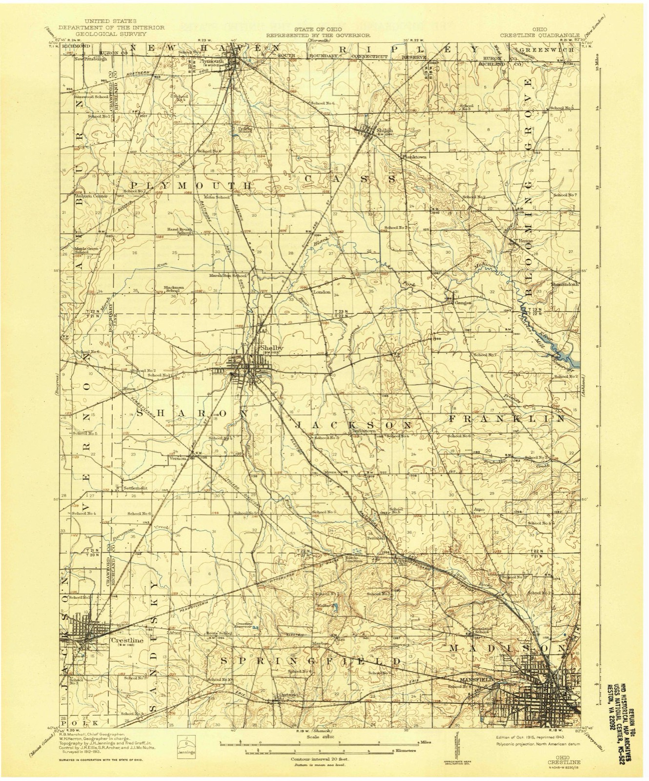
14 topographic sheets cover this place, the earliest surveyed in 1915 and the latest in 1994. It stands in Bloominggrove Township. It lies in ZIP code area 44875. It stands on Leatherwood Creek. The Survey maps it on the Shiloh quadrangle.
Then and now
1915 to 1994The same ground, surveyed 79 years apart. Drag the handle to wipe between them. Both sheets are United States Geological Survey originals; neither has been altered.

Topographic sheets covering this place
14 sheetsMatched by testing this settlement's coordinate against the published boundary of every sheet in the United States Geological Survey's historical collection. Each opens the scanned sheet at the Survey.
- 1915 USGS Crestline quadrangle1:62500
- 1943 USGS Crestline quadrangle1:62500
- 1943 USGS Crestline quadrangle1:62500
- 1950 USGS Marion quadrangle1:250000
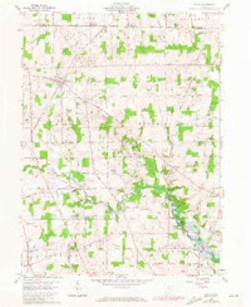
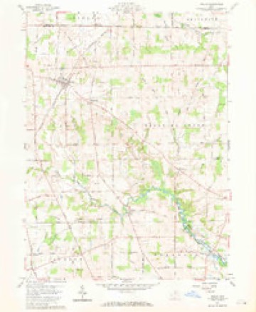
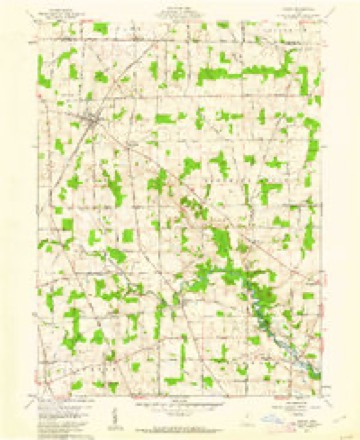
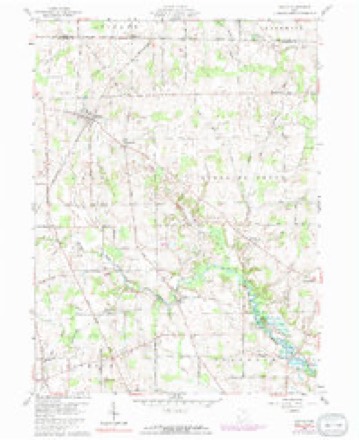
- 1960 USGS Shiloh quadrangle1:24000
- 1960 USGS Shiloh quadrangle1:24000
- 1960 USGS Shiloh quadrangle1:24000
- 1960 USGS Shiloh quadrangle1:24000
- 1962 USGS Marion quadrangle1:250000
- 1966 USGS Marion quadrangle1:250000
- 1966 USGS Marion quadrangle1:250000
- 1966 USGS Marion quadrangle1:250000
- 1986 USGS Mansfield quadrangle1:100000
- 1994 USGS Mansfield quadrangle1:100000







In the county-history sources
8,572 words on this townshipHistory of Richland County, Ohio : (including the Original Boundaries) ; Its Past and Present, Containing a Condensed Comprehensive History of Ohio, Including an Outline History of the Northwest, a Complete History of Richland County ... Miscellaneous Matter, Map of the County, Biographies and Histories of ... the Most Prominent Families, &c., &c., published 1880 names this settlement in its chapter on Bloominggrove Township. These are the passages that mention it, exactly as the scans read.
In 1815, George Hackett, before mentioned, came, settling on Section 19 - his grandson, William Hackett, now owns the farm. Daniel and James Ayers, William Trucks and Richard Sloman also came, settling near the present site of the village of Ganges. In the spring of 1816, William Guthrie came from Harrison County, Ohio (formerl}' from Pennsjdvania), settling on Section 18. This farm is now occupied b}' his gi-andsons - Ransom F. and Arkinson B. Guthrie. Henry Stoner came at the same time, settling on Section 1 5.
The first mill was erected at Trucksville (Ganges) in 1816. by William Trucks and Daniel Ayers, on the Black Fork in the southwest part of the township. It was a poor concern, but a good deal better than none. The buhrs were manufactured out of -' nigger heads." They also erected, at the same time and place, a sawmill and a distiller}-, thus furnishing the three great staples of the time - flour, lumber and whisk3^ This mill was in operation, perhaps, fifteen years. It could only run a small portion of the year, as it stood on low ground and the frequent overflow of the Black Fork kept it blocked up a good deal of the time. It finally became a place of bad repute, a resort of " bummers," and as the settlers generalh- lost part of their grist and sometimes the entire grist, the}- ceased to patronize it.
In a very early day, Samuel Rogers erected a horse-mill in the northeast part of the township, to which the early settlers resorted, and where they were compelled to wait from one to three days for a grist, passing the time pleasantly pitching quoits, wrestling, jumping, shooting at a mark, etc., living meanwhile at Mr. Rogers' expense. The only mill in the township at present was erected by Walter Shupe, in Rome. It is owned by Mr. Bricker, of Ganges, and is a steam-mill.
Machine-read from a century-old scan, so expect the errors a machine makes: misspelled names, dropped words, stray characters.
Read the whole chapter on Bloominggrove Township - it names this place 7 more 7 times.
Fires near this place
1 since 2020Regional context, not property-specific evidence. The federal wildfire occurrence database lists 1 fire within 5 miles of Ganges between 2020 and 2020, burning about 2 acres in total. None started naturally. None was recorded as arson. Distance is straight-line from the map coordinates, so a fire counted here may appear on a neighbouring settlement's page as well.
| Reported cause | Fires |
|---|---|
| Missing data/not specified/undetermined | 1 |
The most recent of them, most recent first, with the day each was reported and the service that recorded it.
| Date | Cause | Size | Reported by | Name on the report |
|---|---|---|---|---|
| 25 July 2020 | Missing data/not specified/undetermined | 2.0 acres | Ohio Department of Natural Resources | 15794 |
Settlements close enough to share some of these fires:
Specimens collected near this place
12 of 126 shownRegional context, not property-specific evidence. Museums hold 126 specimens collected within 10 miles of Ganges between 1839 and 1975: 73 Animalia, 30 Plantae, 23 Fungi. 12 distinct Species records are shown. Collected by Berra, T. (Tim), Chase, H. (Hazel), Colby, J. and others. Each is a physical object with a catalogue number, and each entry opens the museum's record. This is what was collected and kept, not a survey of what lives here - nothing can be concluded from a species being absent.
| Image | Species | Year | Collected by | Where, as recorded |
|---|---|---|---|---|
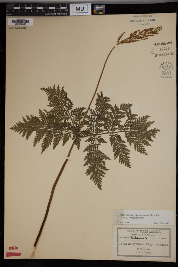 | Botrychium virginianum subsp. virginianum | 1895 | Wilkinson, E. | Mansfield. In low woods. |
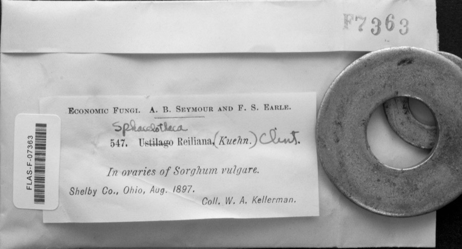 | Sphacelotheca reiliana (J.G.Kühn) G.P.Clinton | 1897 | W. A. Kellerman | |
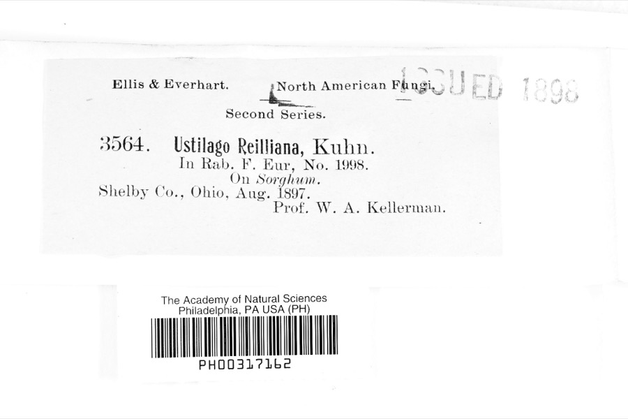 | Ustilago reiliana J.G.Kühn | 1897 | Prof. W. A. Kellerman | |
 | Asplenium platyneuron (L.) Oakes | 1839 | J. Wolle | Bethlehem. |
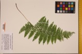 | Athyrium thelypterioides (Michaux) Desvaux | 1840 | J. Wolle | Bethlehem. |
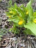 | Cypripedium parviflorum Salisb. | 1869 | N. L. Britton | northern Ohio |
 | Linum usitatissimum L. | 1885 | Wilkinson, E. | along RR banks, Mansfield |
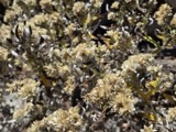 | Pseudognaphalium obtusifolium (L.) Hilliard & B.L.Burtt | 1886 | Wilkinson, E. | Mansfield |
 | Equisetum arvense L. | 1888 | Wilkinson, E. | Mansfield |
 | Anemonella thalictroides (L.) Spach | 1892 | E. Wilkinson | Richland County |
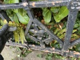 | Athyrium filix-femina subsp. angustum (Willd.) R.T.Clausen | 1892 | Wilkinson, E. | Richland County |
 | Campylophyllum hispidulum (Brid.) Hedenäs | 1892 | E. Wilkinson |
All 126 specimens within 10 miles, at the Global Biodiversity Information Facility.
Mines and quarries near this place
3 within 5 milesRegional context, not property-specific evidence. The federal mineral resources record lists 3 workings within 5 miles of Ganges: 3 past producers. None of them still produces. What was taken out: Clay. Distance is straight-line from the map coordinates, so a quarry counted here may appear on a neighbouring settlement's page as well.
| Where | Site | Commodity | Status | Recorded |
|---|---|---|---|---|
| Ohio Pit | Clay | Past Producer | Sedimentary | |
| Ohio Pit | Clay | Past Producer | ||
| Richland Pit | Clay | Past Producer | Sedimentary |
Nearest settlements
The eight closest, with where each one stands in the county. Distances are straight-line, computed from the Geographic Names Information System coordinates.
| Map | Place | Distance | Sheets |
|---|---|---|---|
| Rome | 2.2 miles | 14 | |
| Shenandoah | 3.3 miles | 15 | |
| London | 3.6 miles | 13 | |
| Planktown | 3.8 miles | 14 | |
| Taylortown | 4.2 miles | 14 | |
| Shiloh | 4.7 miles | 14 | |
| Carefree Estates | 4.8 miles | 13 | |
| Amoy | 5.4 miles | 14 |
Provenance
This settlement is recorded in the Geographic Names Information System as feature 1064701. The sheet list is computed by point-in-boundary test against the United States Geological Survey's historical topographic inventory. Both are works of the United States government and carry no copyright under 17 U.S.C. 105.
Wildfire. Short, Karen C. 2022. Spatial wildfire occurrence data for the United States, 1992-2020 [FPA_FOD_20221014]. 6th Edition. Fort Collins, CO: Forest Service Research Data Archive. https://doi.org/10.2737/RDS-2013-0009.6 Collected with United States Government funding and usable without additional permissions or fees.
Specimens. Global Biodiversity Information Facility (GBIF), https://www.gbif.org/. Only records licensed CC0 or CC BY are used. Records licensed CC BY-NC are excluded because this site carries advertising. Images are checked individually and any whose licence is non-commercial, no-derivatives or unreadable is refused.
Mines and quarries. USGS Mineral Resources Data System (MRDS) https://mrdata.usgs.gov/mrds/ A work of the United States government, no copyright under 17 U.S.C. 105.