 Block
Block
Otterbein, Ohio
9 topographic sheets cover this place, the earliest surveyed in 1953 and the latest in 1986. It stands in Butler Township. It lies in ZIP code area 45346. The Survey maps it on the New Madison quadrangle. It stands 3,638 feet above sea level.
Then and now
1953 to 1986The same ground, surveyed 33 years apart. Drag the handle to wipe between them. Both sheets are United States Geological Survey originals; neither has been altered.

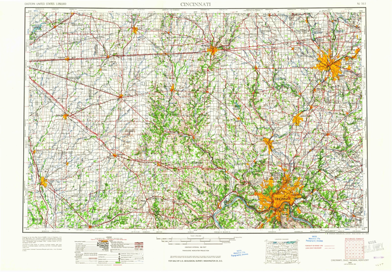
Topographic sheets covering this place
9 sheetsMatched by testing this settlement's coordinate against the published boundary of every sheet in the United States Geological Survey's historical collection. Each opens the scanned sheet at the Survey.
- 1953 USGS Cincinnati quadrangle1:250000
- 1953 USGS Cincinnati quadrangle1:250000
- 1953 USGS Cincinnati quadrangle1:250000
- 1957 USGS Cincinnati quadrangle1:250000
- 1960 USGS New Madison quadrangle1:24000
- 1960 USGS New Madison quadrangle1:24000
- 1960 USGS New Madison quadrangle1:24000
- 1986 USGS Dayton quadrangle1:100000
- 1986 USGS Dayton quadrangle1:100000






In the county-history sources
15,802 words on this townshipThe History of Darke County, Ohio, Containing a History of the County; Its Cities, Towns, Etc.; General and Local Statistics; Portraits of Early Settlers and Prominent Men;, published 1880 names this settlement in its chapter on Butler Township. These are the passages that mention it, exactly as the scans read.
The first schoolhouse was built in 1824, on Section 35, near the present site of New Castine. A second schoolhouse, a log cabin, was located up the road toward the creek. A man by the name of -Bentley now lives on the ground occupied by the old schoolhouse, in the southeast corner of the town° The third schoolhouse in this neighborhood was a frame building, located about half a mile east of Castine. The fourth was a brick structure, put up on the same ground. The last and present schoolhouse is a frame, two stories, also on the same ground. One teacher is employed in the summer and two in the winter. There are nine school districts in Butler Township ; the houses are mostly of wood. Samuel Satterley was the first teacher in Butler. James L. Hunt and P. V. Banta (the latter now of Greenville) were teachers about 1833. The first meetings were held in private houses, and afterward in schoolhouses. The first church was built at New Castine in 1849, by the United Brethren ; Otterbein Chapel, located in the northwestern part of the township, was built about the same time. In 1830, a blacksmith-shop was built by Joseph Danner, on the west side of the southeast quarter of Section 26 ; his land patent, for eighty acres, bears date the same year. In 1833, Dr. J. P. Love bought him out. From 1833 to 1837, coopering was' the most conspicuous mechanical business in the township, but there were also blacksmithshops, while shoemaking had begun to be quite a business outside of household manufacture ; pottery was carried on at Castine and elsewhere, and there was also a hatter's establishment in the place. From that time until 1842, we are credibly informed by an old resident, the little village did more business than ever before or since. These and the still earlier days of which we have spoken formed the log-cabin period. The old-fashioned spinning-wheel was in every home, the flax brake on every farm, and in every third or fourth house the loom did faithful service. Candle-molds went the rounds, and woe to the unlucky borrower who caused a dent therein. Splint-bottom chairs served the twofold purpose of seats and. when turned over, of racks, for the suspension of tallow dips in the formative stage. The distinction between base-burning parlor and cooking stoves had never entered the heads of the foremost families ; indeed, the only arrangement for both heating and culinary purposes was the old-time, wide-mouthed, friendly fireplace, save and except an occasional plain box-stove, made of unadorned plates of iron - and these were scarcer in the community then than pianos are now. Even as late as 1833 the township was a wilderness. Hardships had to be overcome, of course, and difficulties surmounted, but it should not be supposed that there were no compensating advantages. The pioneers not only lived, but lived well. Game, fish, wild fruits, berries, etc., were abundant and cheap. Clothing, though not stylish, was neat and comfortable, and cost little more than the labor necessary to make it. The habits of the people were simple, and their expenses light. Per contra. nearly all modern conveniences were wanting, and modern luxuries unthought of. The usual place for milling was at Frazier's stone mill, six miles down Twin Creek, in Preble County. The market was at Dayton and Cincinnati - thirty -two and sixty-two miles distant. Now the distance is two miles to the nearest shipping point, viz., Manchester, on the Dayton & Western Railroad. In 1830, the population of the township was 512 ; in 1870, 1,524.
Passage source: The History of Darke County, Ohio, Containing a History of the County; Its Cities, Towns, Etc.; General and Local Statistics; Portraits of Early Settlers and Prominent Men;, published 1880.
Machine-read from a century-old scan, so expect the errors a machine makes: misspelled names, dropped words, stray characters.
Fires near this place
1 since 2002Regional context, not property-specific evidence. The federal wildfire occurrence database lists 1 fire within 5 miles of Otterbein between 2002 and 2002, burning about 1 acres in total. None started naturally. None was recorded as arson. Distance is straight-line from the map coordinates, so a fire counted here may appear on a neighbouring settlement's page as well.
| Reported cause | Fires |
|---|---|
| Equipment and vehicle use | 1 |
The most recent of them, most recent first, with the day each was reported and the service that recorded it.
| Date | Cause | Size | Reported by | Name on the report |
|---|---|---|---|---|
| 2 November 2002 | Equipment and vehicle use | 1.0 acres | Ohio State Fire Marshal's Office | not named |
Settlements close enough to share some of these fires:
Specimens collected near this place
12 of 146 shownRegional context, not property-specific evidence. Museums hold 146 specimens collected within 10 miles of Otterbein between 1883 and 1969: 144 Animalia, 1 Chromista, 1 Plantae. 12 distinct Species records are shown. Collected by B. Montgomery, L. Alward & P. Alward, Clark, C. F. (Clarence F.), Collector unspecified and others. Each is a physical object with a catalogue number, and each entry opens the museum's record. This is what was collected and kept, not a survey of what lives here - nothing can be concluded from a species being absent.
| Image | Species | Year | Collected by | Where, as recorded |
|---|---|---|---|---|
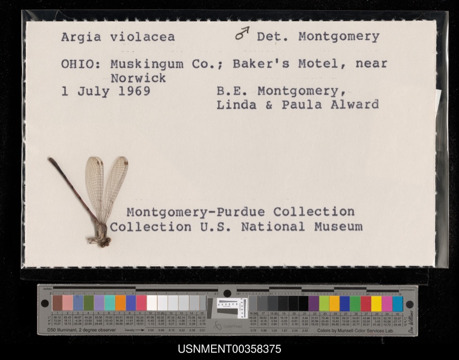 | Argia fumipennis violacea (Hagen, 1861) | 1969 | B. Montgomery, L. Alward & P. Alward | Baker's Motel, near Norwick |
 | Peronospora destructor (Berk.) Casp. ex Berk. | 1883 | Collector unspecified | Ithaca |
 | Etheostoma caeruleum Storer, 1845 | 1905 | Clark, C. F. (Clarence F.) | Prairie Outlet, Sec 28 of Neave township, ~0.3 mi NE of Wayne Lakes Park, Neave township |
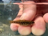 | Etheostoma microperca Jordan & Gilbert, 1888 | 1905 | Clark, C. F. (Clarence F.) | Prairie Outlet, Sec 28 of Neave township, ~0.3 mi NE of Wayne Lakes Park, Neave township |
 | Campostoma anomalum anomalum | 1930 | MB Trautman | Whitewater River, S Harrison Twp |
 | Catostomus commersonnii commersonnii (Lacepède, 1803) | 1930 | MB Trautman | Whitewater River, S Harrison Twp |
 | Chrosomus erythrogaster (Rafinesque, 1820) | 1930 | Trautman, M. B. (Milton Bernard) & Foster, R. (Robert) | East Fork Whitewater River tributary, within Harrison township, near New Madison, Harrison township |
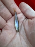 | Clinostomus elongatus (Kirtland, 1840) | 1930 | MB Trautman | Whitewater River, S Harrison Twp |
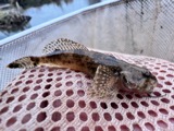 | Cottus bairdii bairdii Girard, 1850 | 1930 | Trautman, M. B. (Milton Bernard) & Foster, R. (Robert) | East Fork Whitewater River tributary, within Harrison township, near New Madison, Harrison township |
 | Etheostoma nigrum Rafinesque, 1820 | 1930 | MB Trautman | Whitewater River, S Harrison Twp |
 | Etheostoma spectabile (Agassiz, 1854) | 1930 | MB Trautman | Whitewater River, S Harrison Twp |
| Notropis buccatus (Cope, 1865) | 1930 | MB Trautman | Whitewater River, S Harrison Twp |
All 146 specimens within 10 miles, at the Global Biodiversity Information Facility.
Mines and quarries near this place
6 within 5 milesRegional context, not property-specific evidence. The federal mineral resources record lists 6 workings within 5 miles of Otterbein: 3 past producers, 2 producers, 1 plant. 3 still produce. What was taken out: Sand and Gravel, Construction, Stone, Crushed/Broken, Limestone, General. Distance is straight-line from the map coordinates, so a quarry counted here may appear on a neighbouring settlement's page as well.
| Where | Site | Commodity | Status | Recorded |
|---|---|---|---|---|
| Fort Jefferson Quarry | Limestone, General | Past Producer | Sedimentary | |
| Fort Jefferson Quarry & Mill | Stone, Crushed/Broken | Plant | ||
| Hollinger Gravel Pit | Sand and Gravel, Construction | Past Producer | Sedimentary | |
| Hollinger Gravel Pit | Sand and Gravel, Construction | Producer | ||
| Slagle Pit | Sand and Gravel, Construction | Past Producer | Sedimentary | |
| Slagle Sand and Gravel Pit | Sand and Gravel, Construction | Producer |
Nearest settlements
The eight closest, with where each one stands in the county. Distances are straight-line, computed from the Geographic Names Information System coordinates.
| Map | Place | Distance | Sheets |
|---|---|---|---|
| New Madison | 2.5 miles | 9 | |
| Castine | 2.7 miles | 8 | |
| Yankeetown | 2.9 miles | 9 | |
| Hewitt | 3.1 miles | 9 | |
| Savona | 3.1 miles | 9 | |
| Beechgrove | 4.2 miles | 8 | |
| Wiley (historical) | 5.0 miles | 11 | |
| Braffetsville | 5.0 miles | 11 |
Elsewhere
Matched on this settlement's Geographic Names Information System number rather than its name, so it cannot be a different place of the same name in another state.
| Wikipedia article on Otterbein | An encyclopaedic summary. Its text is share-alike, so it is linked here rather than copied. |
| Wikidata item Q7109424 | The structured record the population and elevation above come from. Public domain (CC0). |
Provenance
This settlement is recorded in the Geographic Names Information System as feature 1062926. The sheet list is computed by point-in-boundary test against the United States Geological Survey's historical topographic inventory. Both are works of the United States government and carry no copyright under 17 U.S.C. 105.
Wildfire. Short, Karen C. 2022. Spatial wildfire occurrence data for the United States, 1992-2020 [FPA_FOD_20221014]. 6th Edition. Fort Collins, CO: Forest Service Research Data Archive. https://doi.org/10.2737/RDS-2013-0009.6 Collected with United States Government funding and usable without additional permissions or fees.
Specimens. Global Biodiversity Information Facility (GBIF), https://www.gbif.org/. Only records licensed CC0 or CC BY are used. Records licensed CC BY-NC are excluded because this site carries advertising. Images are checked individually and any whose licence is non-commercial, no-derivatives or unreadable is refused.
Mines and quarries. USGS Mineral Resources Data System (MRDS) https://mrdata.usgs.gov/mrds/ A work of the United States government, no copyright under 17 U.S.C. 105.