 Block
Block
Palmyra, Ohio
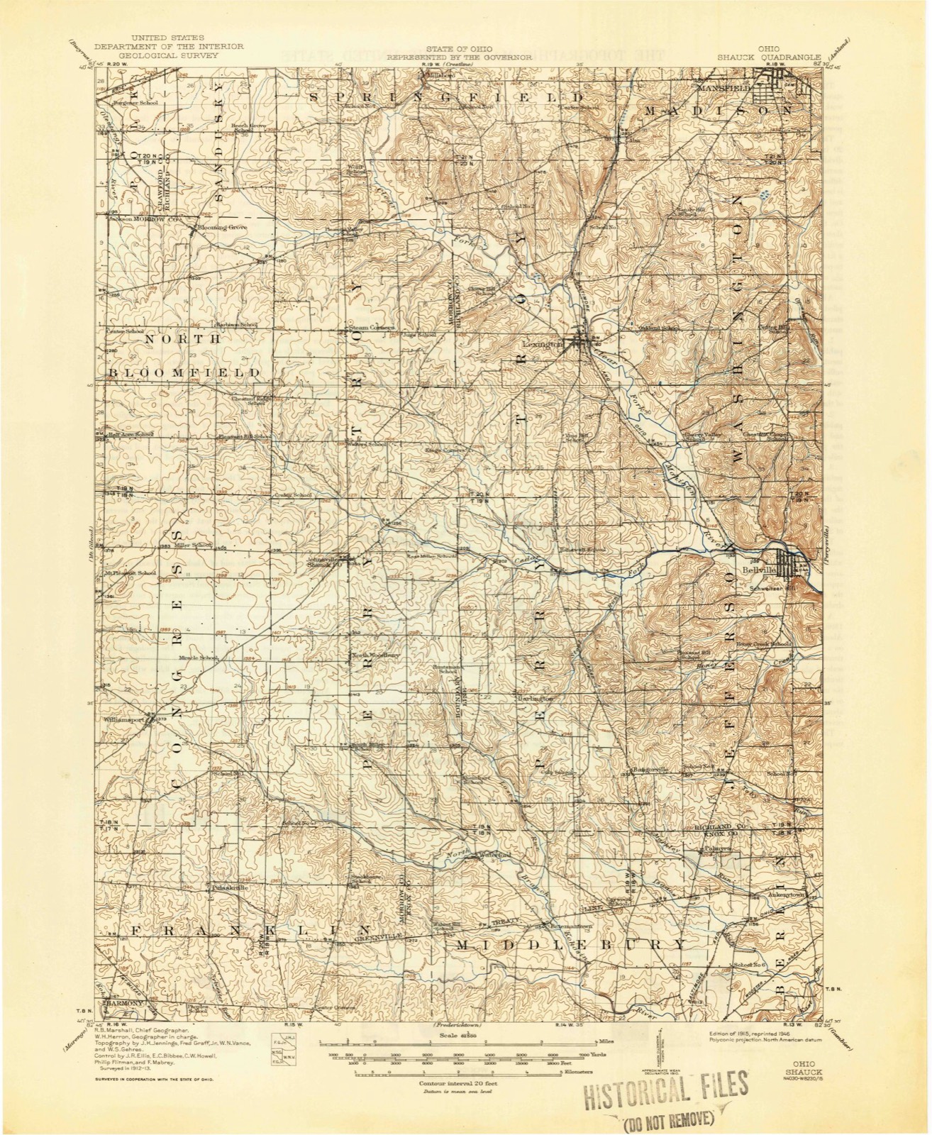
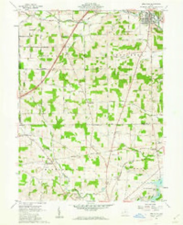
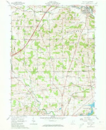
12 topographic sheets cover this place, the earliest surveyed in 1915 and the latest in 1994. It stands in Berlin Township. It lies in ZIP code area 43019. The Survey maps it on the Bellville quadrangle.
Then and now
1915 to 1994The same ground, surveyed 79 years apart. Drag the handle to wipe between them. Both sheets are United States Geological Survey originals; neither has been altered.

Compare 1915 against another survey:
Topographic sheets covering this place
12 sheetsMatched by testing this settlement's coordinate against the published boundary of every sheet in the United States Geological Survey's historical collection. Each opens the scanned sheet at the Survey.
- 1915 USGS Shauck quadrangle1:62500
- 1943 USGS Shauck quadrangle1:62500
- 1950 USGS Marion quadrangle1:250000
- 1961 USGS Bellville quadrangle1:24000
- 1961 USGS Bellville quadrangle1:24000
- 1961 USGS Bellville quadrangle1:24000
- 1962 USGS Marion quadrangle1:250000
- 1966 USGS Marion quadrangle1:250000
- 1966 USGS Marion quadrangle1:250000
- 1966 USGS Marion quadrangle1:250000
- 1986 USGS Mansfield quadrangle1:100000
- 1994 USGS Mansfield quadrangle1:100000







In the county-history sources
8,876 words on this townshipA History of Knox County, Ohio, from 1779 to 1862 Inclusive; Comprising Biographical Sketches, Anecdotes .., published 1862; History of Knox County, Ohio, Its Past and Present, Containing a Condensed, Comprehensive History of Ohio, Including an Outline History of the Northwest; a Complete History of Knox County ... a Record of Its Soldiers in the Late War; Portraits of Its Early Settlers and Prominent Men ... Biographies and Histories of Pioneer Families, Etc, published 1881 names this settlement in its chapter on Berlin Township. These are the passages that mention it, exactly as the scans read.
Palmyra, dm*ing the days of our vassalage to stage and wagon transportation, was its sole town, and for many years a noted place of refreshment for man and beast, voyaging by mud or snow from Mt. Yernon to Mansfield. Since the construction of the railroad, it has dilapidated.
Passage source: A History of Knox County, Ohio, from 1779 to 1862 Inclusive; Comprising Biographical Sketches, Anecdotes .., published 1862.
A mound, larger than the "ordinary size, is located on the Davis farm, in the southern part of the township. It is, probably, fifty or sixty feet in diameter at the base and fifteen feet in height. Like the others it is made up of sandy loam, and situated on high ground. These mounds are evidently connected with the one that stood on the present site of Fredericktown, and with several others in Morris township. Were the timber cleared away these mysterious elevations would all appear in sight of each other, or at least in such connection that signaling from, one to the other would j be comparatively easy.
I Whether the Mound Builders were the first animals in human form to tread the soil of Berlin township can only be conjectured. It has been established by indisputable evidence that they were here more than seven hundred years ago, and were the pioneer settlers here so far as history traces the inhabitants.
Machine-read from a century-old scan, so expect the errors a machine makes: misspelled names, dropped words, stray characters.
Read the whole chapter on Berlin Township - it names this place 5 more 5 times.
Specimens collected near this place
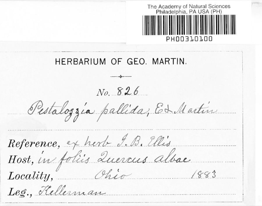
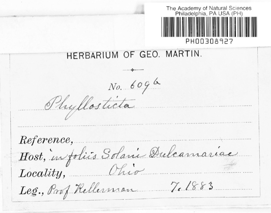
12 of 393 shownRegional context, not property-specific evidence. Museums hold 393 specimens collected within 10 miles of Palmyra between 1837 and 1974: 356 Animalia, 29 Fungi, 7 Plantae, 1 Protozoa. 12 distinct Species records are shown. Collected by A. Hall, A. P. Morgan, Andriessen, H. and others. Each is a physical object with a catalogue number, and each entry opens the museum's record. This is what was collected and kept, not a survey of what lives here - nothing can be concluded from a species being absent.
| Image | Species | Year | Collected by | Where, as recorded |
|---|---|---|---|---|
 | Pestalotia De Not., 1841 | 1883 | W. A. Kellermann | No locality on label |
 | Phyllosticta Pers., 1818 | 1883 | Kellerman | |
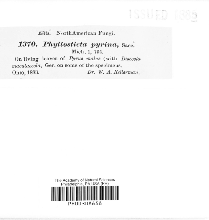 | Phyllosticta pyrina Sacc. | 1883 | W. A. Kellerman | |
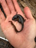 | Notophthalmus viridescens (Rafinesque, 1820) | 1837 | Müller | Ohio |
 | Pooecetes gramineus (J.F.Gmelin, 1789) | 1863 | Turati (comte), Ercole | |
 | Delphinium exaltatum Aiton | 1877 | E Sheets | |
 | Hydrastis canadensis L. | 1877 | E Sheets | |
 | Lobelia inflata L. | 1881 | Andriessen, H. | near Fredericktown, OH |
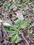 | Ascochyta Lib., 1830 | 1883 | Kellerman | |
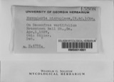 | Nummularia microplaca (Berk. & M.A.Curtis) Cooke | 1883 | W.A. Kellerman | |
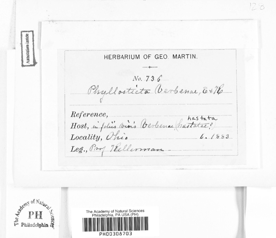 | Phyllosticta verbenae Sacc., 1879 | 1883 | Prof. Kellerman | |
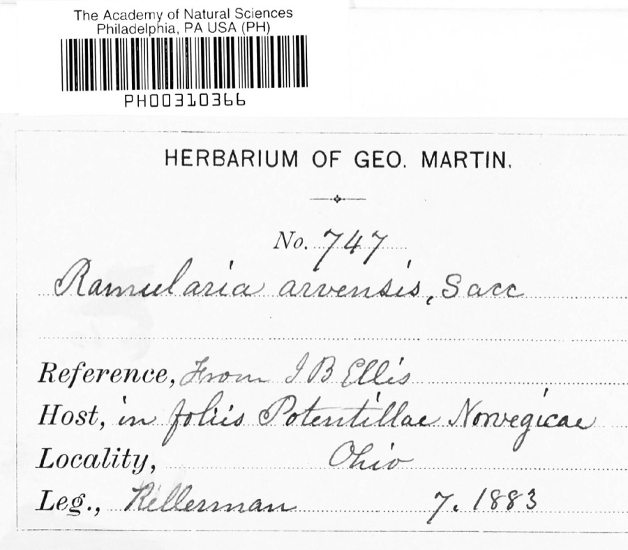 | Ramularia arvensis Sacc. | 1883 | Kellerman |
All 393 specimens within 10 miles, at the Global Biodiversity Information Facility.
Mines and quarries near this place
2 within 5 milesRegional context, not property-specific evidence. The federal mineral resources record lists 2 workings within 5 miles of Palmyra: 1 producer, 1 past producer. 1 still produces. What was taken out: Sand and Gravel, Construction. Distance is straight-line from the map coordinates, so a quarry counted here may appear on a neighbouring settlement's page as well.
| Where | Site | Commodity | Status | Recorded |
|---|---|---|---|---|
| Fredericktown Pit | Sand and Gravel, Construction | Producer | ||
| Fredericktown Pit | Sand and Gravel, Construction | Past Producer | Sedimentary |
Storms near this place
2 since 2019Regional context, not property-specific evidence. The National Weather Service names Palmyra in 2 storm reports between 2019 and 2025: 1 hail, 1 thunderstorm wind. No death or injury is recorded in these reports. Each account below is quoted exactly as the forecast office filed it, from the NOAA Storm Events Database, and each date opens the federal record of that event.
Nearest settlements
The eight closest, with where each one stands in the county. Distances are straight-line, computed from the Geographic Names Information System coordinates.
| Map | Place | Distance | Sheets |
|---|---|---|---|
| Ankenytown | 2.0 miles | 12 | |
| Batemantown | 3.2 miles | 12 | |
| Lake View | 3.2 miles | 11 | |
| South Bay | 3.7 miles | 11 | |
| Waterford | 4.2 miles | 12 | |
| Fredericktown | 4.4 miles | 11 | |
| Knox | 6.0 miles | 11 | |
| Dorema | 6.7 miles | 11 |
Elsewhere
Matched on this settlement's Geographic Names Information System number rather than its name, so it cannot be a different place of the same name in another state.
| Wikipedia article on Palmyra | An encyclopaedic summary. Its text is share-alike, so it is linked here rather than copied. |
| Wikidata item Q22134086 | The structured record the population and elevation above come from. Public domain (CC0). |
Provenance
This settlement is recorded in the Geographic Names Information System as feature 1049056. The sheet list is computed by point-in-boundary test against the United States Geological Survey's historical topographic inventory. Both are works of the United States government and carry no copyright under 17 U.S.C. 105.
Specimens. Global Biodiversity Information Facility (GBIF), https://www.gbif.org/. Only records licensed CC0 or CC BY are used. Records licensed CC BY-NC are excluded because this site carries advertising. Images are checked individually and any whose licence is non-commercial, no-derivatives or unreadable is refused.
Mines and quarries. USGS Mineral Resources Data System (MRDS) https://mrdata.usgs.gov/mrds/ A work of the United States government, no copyright under 17 U.S.C. 105.
Storms. NOAA National Centers for Environmental Information, Storm Events Database https://www.ncei.noaa.gov/stormevents/ A work of the United States government, no copyright under 17 U.S.C. 105. Narratives are quoted verbatim from the National Weather Service report and are not edited or summarised.