 Block
Block
Waterford, Ohio
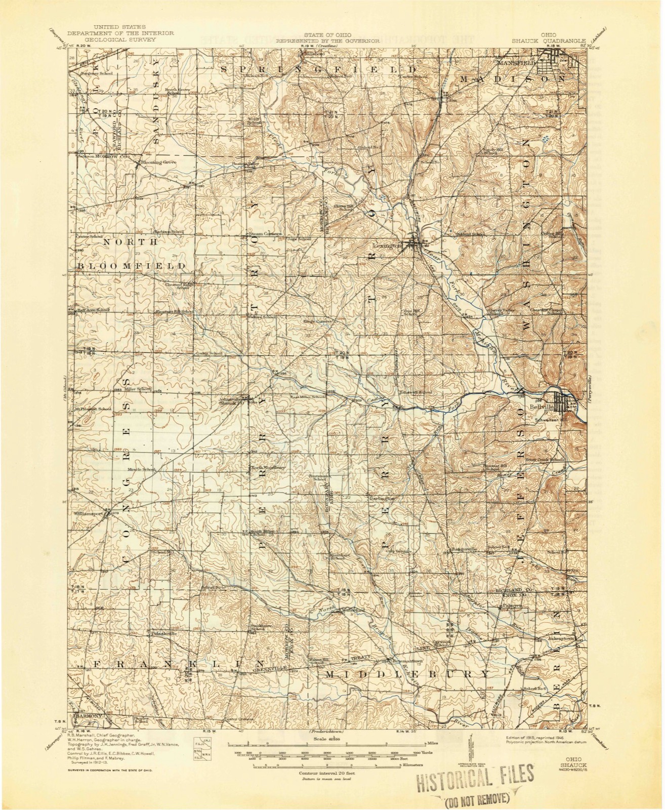
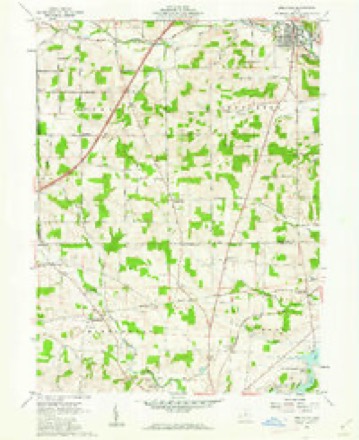
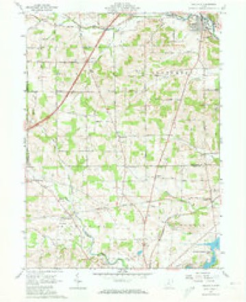
12 topographic sheets cover this place, the earliest surveyed in 1915 and the latest in 1994. It stands in Middlebury Township. It lies in ZIP code area 43019. It stands on Lost Run. The Survey maps it on the Bellville quadrangle.
Then and now
1915 to 1994The same ground, surveyed 79 years apart. Drag the handle to wipe between them. Both sheets are United States Geological Survey originals; neither has been altered.

Compare 1915 against another survey:
Topographic sheets covering this place
12 sheetsMatched by testing this settlement's coordinate against the published boundary of every sheet in the United States Geological Survey's historical collection. Each opens the scanned sheet at the Survey.
- 1915 USGS Shauck quadrangle1:62500
- 1943 USGS Shauck quadrangle1:62500
- 1950 USGS Marion quadrangle1:250000
- 1961 USGS Bellville quadrangle1:24000
- 1961 USGS Bellville quadrangle1:24000
- 1961 USGS Bellville quadrangle1:24000
- 1962 USGS Marion quadrangle1:250000
- 1966 USGS Marion quadrangle1:250000
- 1966 USGS Marion quadrangle1:250000
- 1966 USGS Marion quadrangle1:250000
- 1986 USGS Mansfield quadrangle1:100000
- 1994 USGS Mansfield quadrangle1:100000







In the county-history sources
11,093 words on this townshipA History of Knox County, Ohio, from 1779 to 1862 Inclusive; Comprising Biographical Sketches, Anecdotes .., published 1862; History of Knox County, Ohio, Its Past and Present, Containing a Condensed, Comprehensive History of Ohio, Including an Outline History of the Northwest; a Complete History of Knox County ... a Record of Its Soldiers in the Late War; Portraits of Its Early Settlers and Prominent Men ... Biographies and Histories of Pioneer Families, Etc, published 1881 names this settlement in its chapter on Middlebury Township. These are the passages that mention it, exactly as the scans read.
On tlie 3d of December, 1823, this township was established, imd the first election was held at the house of Luther Bateman, in April, 1824. It is now the north-west corner of Knox, and on the score of improvement, the beauty of the country, and the intelligence of its inhabitants, ranks first. Its principal settlers at every period have been Friends, from Maryland and Virginia ; and the influence of the Quaker element has been highly salutary. The increase of population and wealth has been steady. In 1830 the inhabitants numbered 705, and the amount of land returned for taxation was 13,000 acres ; in 1810 there were 1,002 inhabitants ; in 1850, 1,092 ; and in 1860, 1,040. The villaares of Batemantown and Waterford are points for trading operations ; the latter is quite a thriving little town, having the advantage of miUs in its neighborhood. Here Josiah Eawcett and John Lavering for many years were rivals in business, competitors for the post-ofiice, and the prominent men of their respective i)arties. When the Whigs were in power, Josiah held the post-ofiice ; and when the Democrats ruled, he was out and John in. The post-office and its name were mooted points in Middlebury. The Laverings were old settlers of this section. Of the old stock, Daniel and Mary were here in 1813 ; she died October 24, 1816, aged 85. Several of the name are in the county at this date ; John is yet selling goods at Waterford.
Passage source: A History of Knox County, Ohio, from 1779 to 1862 Inclusive; Comprising Biographical Sketches, Anecdotes .., published 1862.
Ordered, That the following bounds be laid oft" into a separate township, to wit : ' ' Beginning at the southeast corner of the j eighth township, in the fourteenth range, and running west on | said township line to the southwest corner of said township; j thence north on the line between the fourteenth and fifteenth | ranges to the boundary line; thence westerly on said boundary ', line to where the nearest north and south line in the new pur- . chase strikes said boundary line; thence north on said north and south line to the north boundar}- of Knox county; thence east on the county line to where the west boundary line of Berlin township strikes said county line; thence soi],th on tlie west boundary of said Berlin township to the place of beginning; which shall henceforth be entitled to all the privileges of a
Middlebury township shall be composed of the following bounds, to wit: "Beginning at the northwest corner of the seventh township in the fourteenth range; thence north on the range line to the Indian boundary line; thence southwesterly to Franklin township; thence north on the east boundary of Franklin to the county line; thence east to the line between the fifth and sixth sections in Knox county; thence south on said line to the old Indian boundary line; thence northeasterly on said line to where the range line between the thirteenth and fourteenth ranges strikes said boundary; thence south on said boundary to the northwest corner of township seven, in range thirteen; thence west on the township line to the place of beginning."
Machine-read from a century-old scan, so expect the errors a machine makes: misspelled names, dropped words, stray characters.
Read the whole chapter on Middlebury Township - it names this place 24 more 24 times.
Specimens collected near this place
12 of 328 shownRegional context, not property-specific evidence. Museums hold 328 specimens collected within 10 miles of Waterford between 1837 and 1974: 303 Animalia, 19 Fungi, 5 Plantae, 1 Protozoa. 12 distinct Species records are shown. Collected by A. Hall, A. P. Morgan, Adler, K. K. and others. Each is a physical object with a catalogue number, and each entry opens the museum's record. This is what was collected and kept, not a survey of what lives here - nothing can be concluded from a species being absent.
| Image | Species | Year | Collected by | Where, as recorded |
|---|---|---|---|---|
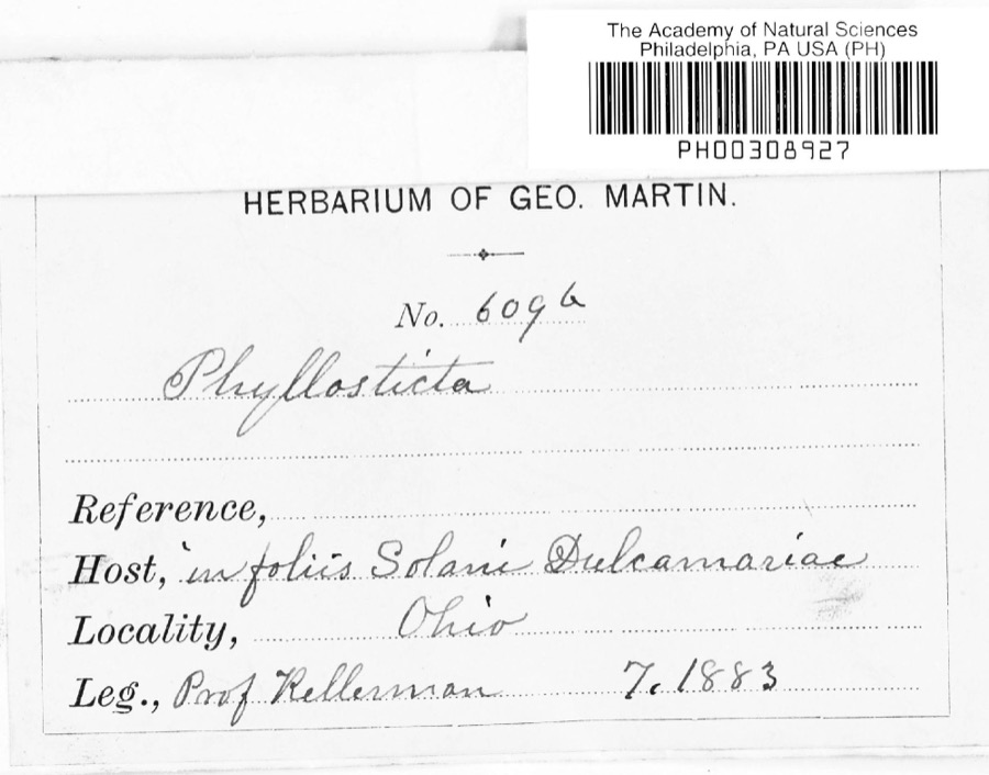 | Phyllosticta Pers., 1818 | 1883 | Kellerman | |
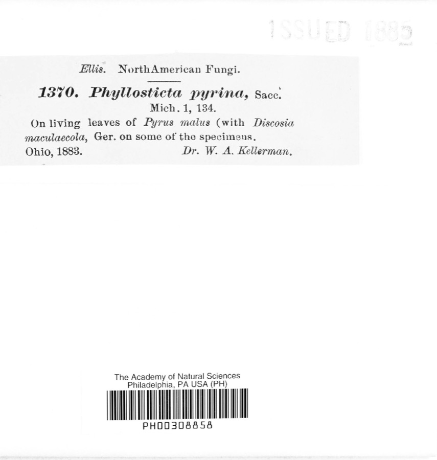 | Phyllosticta pyrina Sacc. | 1883 | W. A. Kellerman | |
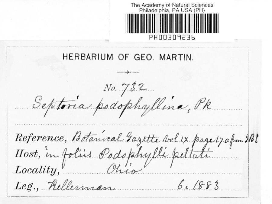 | Septoria E.M.Fries, 1819 | 1883 | Kellerman | |
 | Notophthalmus viridescens (Rafinesque, 1820) | 1837 | Müller | Ohio |
 | Pooecetes gramineus (J.F.Gmelin, 1789) | 1863 | Turati (comte), Ercole | |
 | Delphinium exaltatum Aiton | 1877 | E Sheets | |
 | Hydrastis canadensis L. | 1877 | E Sheets | |
 | Lobelia inflata L. | 1881 | Andriessen, H. | near Fredericktown, OH |
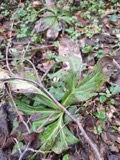 | Ascochyta Lib., 1830 | 1883 | Kellerman | |
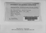 | Nummularia microplaca (Berk. & M.A.Curtis) Cooke | 1883 | W.A. Kellerman | |
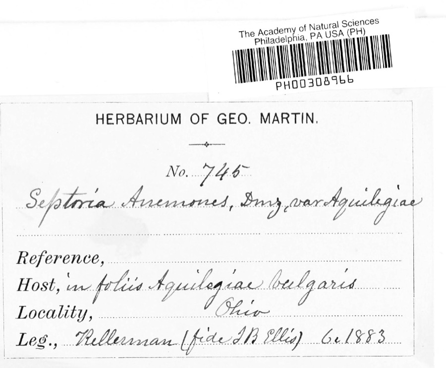 | Septoria anemones Desm. | 1883 | Kellerman | |
 | Septoria ribis (Lib.) Desm. | 1883 | W. A. Kellermann |
All 328 specimens within 10 miles, at the Global Biodiversity Information Facility.
Mines and quarries near this place
2 within 5 milesRegional context, not property-specific evidence. The federal mineral resources record lists 2 workings within 5 miles of Waterford: 1 producer, 1 past producer. 1 still produces. What was taken out: Sand and Gravel, Construction. Distance is straight-line from the map coordinates, so a quarry counted here may appear on a neighbouring settlement's page as well.
| Where | Site | Commodity | Status | Recorded |
|---|---|---|---|---|
| Chesterville Pit | Sand and Gravel, Construction | Producer | ||
| Fredericktown Pit | Sand and Gravel, Construction | Past Producer | Sedimentary |
Storms near this place
3 since 2011Regional context, not property-specific evidence. The National Weather Service names Waterford in 3 storm reports between 2011 and 2018: 2 flood, 1 thunderstorm wind. No death or injury is recorded in these reports. Each account below is quoted exactly as the forecast office filed it, from the NOAA Storm Events Database, and each date opens the federal record of that event.
| When | Event | Place named | Harm | What the report says |
|---|---|---|---|---|
| June 2012 | Thunderstorm Wind | Waterford | $1,400,000 | An intense line of thunderstorms or Derecho moved across Knox County during the late afternoon of June 29th causing extensive damage. Winds were estimated to be as much as 65 mph. Over 50 percent of residents lost power during this event. Power was not completely restored for several days. Hundreds of trees were downed across the county along with many utility poles forcing the closure of some of roads and streets. Damage to homes and buildings was also extensive. Dozens of homes and buildings lost roofing or siding with many other homes damaged by fallen trees. Clean up costs were extensive. The clean up was hampered by an ongoing heat wave with afternoon temperatures in the upper 90s. Significant crop losses are also expected. Damage from this storm was comparable to the remnants of Hurricane Ike in September 2008. |
| February 2011 | Flood | Waterford | $400,000 | Heavy rain and rapid snow melt led to widespread flooding across Knox County. Rainfall totals across the county ranged from one to three inches on February 27th and 28th. Up to ten inches of heavy snow was on the ground at the onset of the rain. This snow rapidly melted as temperatures warmed into the 50s on the 28th. Up to an additional inch of water equivalent rainfall was released from the melted snow. Hundreds of homes in the county sustained damage, mainly from basement flooding. Many roads had to be closed because of the flooding. |
| April 2018 | Flood | Waterford | $4,000 | Multiple rounds of heavy rain moved over Knox County on April 3 and 4th. Rainfall measured for these two days was 2.5 to 3.5 inches with locally higher amounts. The rainfall resulted in multiple closed roads across the county. The hardest hit areas were in northern Knox County in the Fredericktown where the heaviest rain fell. A water rescue occurred on Knox Lake Road between SR 95 and Mishey Road from the Markey Run, a tributary to Knox Lake around 1020 pm on the 3rd. A vehicle was stuck in flood waters on Kildruff Road by Kokosing River in Gambier as early as 740 PM on the 3rd. This flood prone location remained flooded well into the 4th. |
Nearest settlements
The eight closest, with where each one stands in the county. Distances are straight-line, computed from the Geographic Names Information System coordinates.
| Map | Place | Distance | Sheets |
|---|---|---|---|
| Batemantown | 1.7 miles | 12 | |
| Palmyra | 4.2 miles | 12 | |
| Lucerne | 5.6 miles | 9 | |
| Lake View | 5.8 miles | 11 | |
| Fredericktown | 6.0 miles | 11 | |
| Ankenytown | 6.1 miles | 12 | |
| South Bay | 6.3 miles | 11 | |
| Dorema | 6.8 miles | 11 |
Elsewhere
Matched on this settlement's Geographic Names Information System number rather than its name, so it cannot be a different place of the same name in another state.
| Wikipedia article on Waterford | An encyclopaedic summary. Its text is share-alike, so it is linked here rather than copied. |
| Wikidata item Q22703970 | The structured record the population and elevation above come from. Public domain (CC0). |
Provenance
This settlement is recorded in the Geographic Names Information System as feature 1061724. The sheet list is computed by point-in-boundary test against the United States Geological Survey's historical topographic inventory. Both are works of the United States government and carry no copyright under 17 U.S.C. 105.
Specimens. Global Biodiversity Information Facility (GBIF), https://www.gbif.org/. Only records licensed CC0 or CC BY are used. Records licensed CC BY-NC are excluded because this site carries advertising. Images are checked individually and any whose licence is non-commercial, no-derivatives or unreadable is refused.
Mines and quarries. USGS Mineral Resources Data System (MRDS) https://mrdata.usgs.gov/mrds/ A work of the United States government, no copyright under 17 U.S.C. 105.
Storms. NOAA National Centers for Environmental Information, Storm Events Database https://www.ncei.noaa.gov/stormevents/ A work of the United States government, no copyright under 17 U.S.C. 105. Narratives are quoted verbatim from the National Weather Service report and are not edited or summarised.