 Block
Block
Batemantown, Ohio
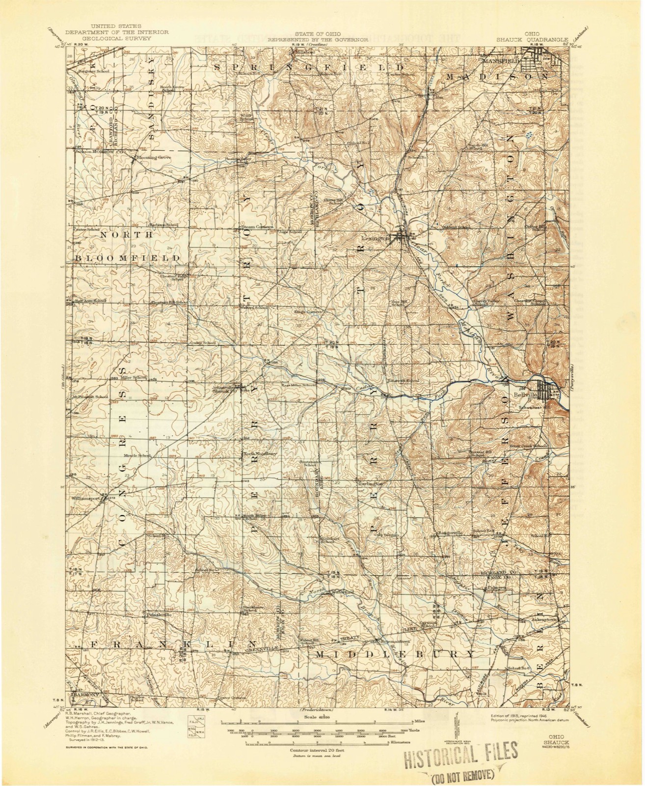
12 topographic sheets cover this place, the earliest surveyed in 1915 and the latest in 1994. It stands in Middlebury Township. It lies in ZIP code area 43019. It stands on Lost Run. The Survey maps it on the Bellville quadrangle.
Then and now
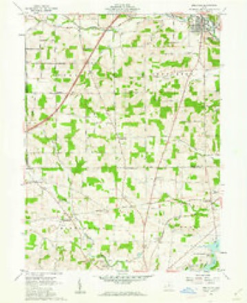
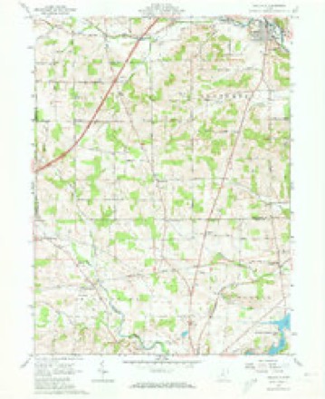
1915 to 1994The same ground, surveyed 79 years apart. Drag the handle to wipe between them. Both sheets are United States Geological Survey originals; neither has been altered.

Compare 1915 against another survey:
Topographic sheets covering this place
12 sheetsMatched by testing this settlement's coordinate against the published boundary of every sheet in the United States Geological Survey's historical collection. Each opens the scanned sheet at the Survey.
- 1915 USGS Shauck quadrangle1:62500
- 1943 USGS Shauck quadrangle1:62500
- 1950 USGS Marion quadrangle1:250000
- 1961 USGS Bellville quadrangle1:24000
- 1961 USGS Bellville quadrangle1:24000
- 1961 USGS Bellville quadrangle1:24000
- 1962 USGS Marion quadrangle1:250000
- 1966 USGS Marion quadrangle1:250000
- 1966 USGS Marion quadrangle1:250000
- 1966 USGS Marion quadrangle1:250000
- 1986 USGS Mansfield quadrangle1:100000
- 1994 USGS Mansfield quadrangle1:100000







In the county-history sources
11,093 words on this townshipA History of Knox County, Ohio, from 1779 to 1862 Inclusive; Comprising Biographical Sketches, Anecdotes .., published 1862; History of Knox County, Ohio, Its Past and Present, Containing a Condensed, Comprehensive History of Ohio, Including an Outline History of the Northwest; a Complete History of Knox County ... a Record of Its Soldiers in the Late War; Portraits of Its Early Settlers and Prominent Men ... Biographies and Histories of Pioneer Families, Etc, published 1881 names this settlement in its chapter on Middlebury Township. These are the passages that mention it, exactly as the scans read.
On tlie 3d of December, 1823, this township was established, imd the first election was held at the house of Luther Bateman, in April, 1824. It is now the north-west corner of Knox, and on the score of improvement, the beauty of the country, and the intelligence of its inhabitants, ranks first. Its principal settlers at every period have been Friends, from Maryland and Virginia ; and the influence of the Quaker element has been highly salutary. The increase of population and wealth has been steady. In 1830 the inhabitants numbered 705, and the amount of land returned for taxation was 13,000 acres ; in 1810 there were 1,002 inhabitants ; in 1850, 1,092 ; and in 1860, 1,040. The villaares of Batemantown and Waterford are points for trading operations ; the latter is quite a thriving little town, having the advantage of miUs in its neighborhood. Here Josiah Eawcett and John Lavering for many years were rivals in business, competitors for the post-ofiice, and the prominent men of their respective i)arties. When the Whigs were in power, Josiah held the post-ofiice ; and when the Democrats ruled, he was out and John in. The post-office and its name were mooted points in Middlebury. The Laverings were old settlers of this section. Of the old stock, Daniel and Mary were here in 1813 ; she died October 24, 1816, aged 85. Several of the name are in the county at this date ; John is yet selling goods at Waterford.
Passage source: A History of Knox County, Ohio, from 1779 to 1862 Inclusive; Comprising Biographical Sketches, Anecdotes .., published 1862.
Thomas Townsend located on the A. M. Townsend property, one and one-half miles north of Fredericktown in 1808. He was one of the Friends from Maryland, and true to his Quaker principles, kept a station on "the underground railroad." It is related of him that he would harbor as many as twenty fugitive slaves at a time, and when they were sufficiently recruited, set their faces toward the north star, and send them on their way rejoicing. Mr. Townsend died March 18, 1859, aged seventy-eight. He has no representative now in the township.
The names of John and Jacob Cook appear on the poll book of the first election held in Wayne township, at the time it included Middlebur)-. They came from Washington county, Pennsylvania, and after sojourning for a time in Fredericktown, located in the southeast corner of Middlebury township in 1809. John Cook reared a family of ten children. His daughter, Armanella, married Noah Levering, and reared a family of ten children - seven of whom are still living. She died June 13, 1879, in the seventy-first year of her age, and was buried in Levering graveyard, near Waterford.
Machine-read from a century-old scan, so expect the errors a machine makes: misspelled names, dropped words, stray characters.
Read the whole chapter on Middlebury Township - it names this place 10 more 10 times.
Specimens collected near this place
12 of 381 shownRegional context, not property-specific evidence. Museums hold 381 specimens collected within 10 miles of Batemantown between 1837 and 1974: 345 Animalia, 29 Fungi, 6 Plantae, 1 Protozoa. 12 distinct Species records are shown. Collected by A. Hall, A. P. Morgan, Adler, K. K. and others. Each is a physical object with a catalogue number, and each entry opens the museum's record. This is what was collected and kept, not a survey of what lives here - nothing can be concluded from a species being absent.
| Image | Species | Year | Collected by | Where, as recorded |
|---|---|---|---|---|
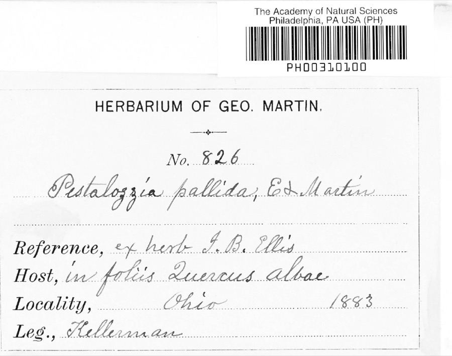 | Pestalotia De Not., 1841 | 1883 | W. A. Kellermann | No locality on label |
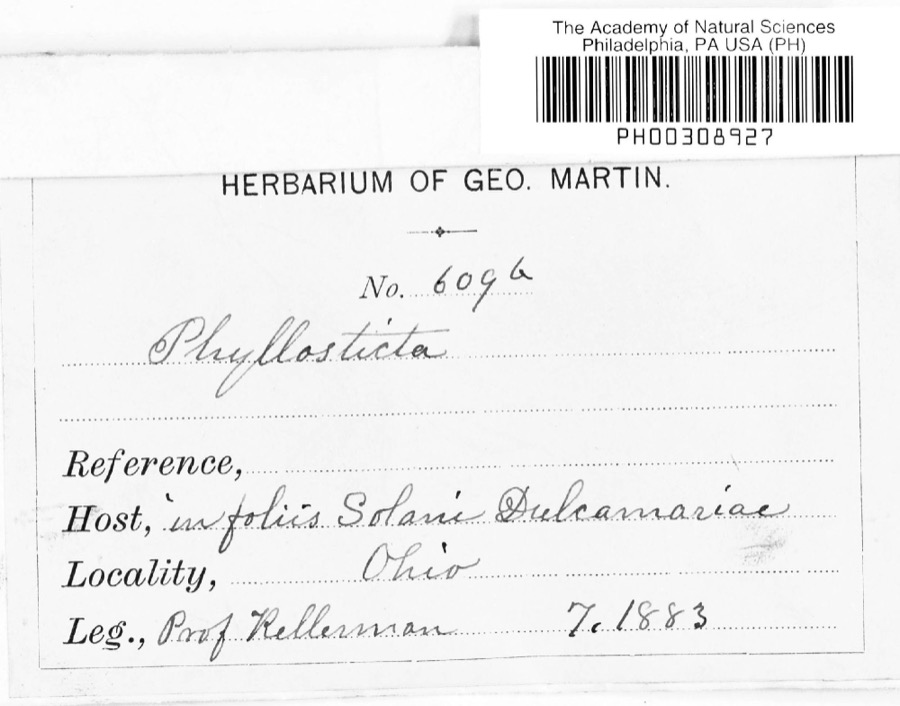 | Phyllosticta Pers., 1818 | 1883 | Kellerman | |
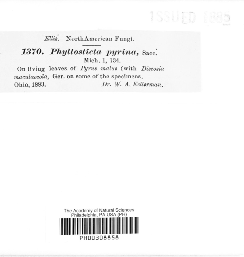 | Phyllosticta pyrina Sacc. | 1883 | W. A. Kellerman | |
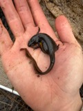 | Notophthalmus viridescens (Rafinesque, 1820) | 1837 | Müller | Ohio |
 | Pooecetes gramineus (J.F.Gmelin, 1789) | 1863 | Turati (comte), Ercole | |
 | Delphinium exaltatum Aiton | 1877 | E Sheets | |
 | Hydrastis canadensis L. | 1877 | E Sheets | |
 | Lobelia inflata L. | 1881 | Andriessen, H. | near Fredericktown, OH |
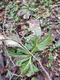 | Ascochyta Lib., 1830 | 1883 | Kellerman | |
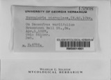 | Nummularia microplaca (Berk. & M.A.Curtis) Cooke | 1883 | W.A. Kellerman | |
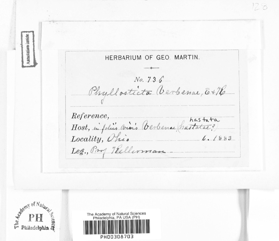 | Phyllosticta verbenae Sacc., 1879 | 1883 | Prof. Kellerman | |
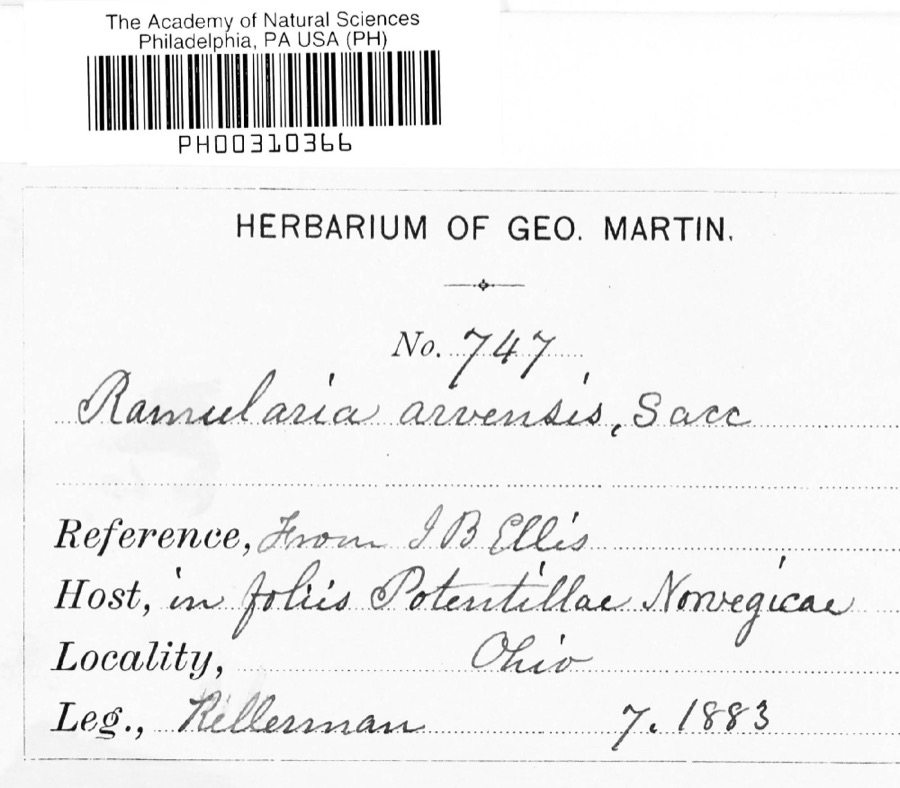 | Ramularia arvensis Sacc. | 1883 | Kellerman |
All 381 specimens within 10 miles, at the Global Biodiversity Information Facility.
Mines and quarries near this place
3 within 5 milesRegional context, not property-specific evidence. The federal mineral resources record lists 3 workings within 5 miles of Batemantown: 2 producers, 1 past producer. 2 still produce. What was taken out: Sand and Gravel, Construction. Distance is straight-line from the map coordinates, so a quarry counted here may appear on a neighbouring settlement's page as well.
| Where | Site | Commodity | Status | Recorded |
|---|---|---|---|---|
| Chesterville Pit | Sand and Gravel, Construction | Producer | ||
| Fredericktown Pit | Sand and Gravel, Construction | Producer | ||
| Fredericktown Pit | Sand and Gravel, Construction | Past Producer | Sedimentary |
Storms near this place
1 since 2007Regional context, not property-specific evidence. The National Weather Service names Batemantown in 1 storm report between 2007 and 2007: 1 flood. No death or injury is recorded in these reports. Each account below is quoted exactly as the forecast office filed it, from the NOAA Storm Events Database, and each date opens the federal record of that event.
| When | Event | Place named | Harm | What the report says |
|---|---|---|---|---|
| August 2007 | Flood | Batemantown | $25,000 | Heavy rain fell across the area during the early morning hours of the 21st. During the early morning hours reports described roads with high water on them. As the morning progressed, water quickly flowed into streams and rivers across the county, and those quickly rose. By mid-morning, a campground in Batemantown near the north branch of the Kokosing River was evacuated because the river rose approximately eight inches in just two hours. As the day progressed, there were no additional reports of evacuations, and no roads were closed by high water. By the afternoon, only a few minor roads still had water on them.| |
Nearest settlements
The eight closest, with where each one stands in the county. Distances are straight-line, computed from the Geographic Names Information System coordinates.
| Map | Place | Distance | Sheets |
|---|---|---|---|
| Waterford | 1.7 miles | 12 | |
| Palmyra | 3.2 miles | 12 | |
| Lake View | 4.1 miles | 11 | |
| Fredericktown | 4.3 miles | 11 | |
| South Bay | 4.6 miles | 11 | |
| Lucerne | 4.7 miles | 9 | |
| Ankenytown | 4.9 miles | 12 | |
| Dorema | 5.3 miles | 11 |
Provenance
This settlement is recorded in the Geographic Names Information System as feature 1064387. The sheet list is computed by point-in-boundary test against the United States Geological Survey's historical topographic inventory. Both are works of the United States government and carry no copyright under 17 U.S.C. 105.
Specimens. Global Biodiversity Information Facility (GBIF), https://www.gbif.org/. Only records licensed CC0 or CC BY are used. Records licensed CC BY-NC are excluded because this site carries advertising. Images are checked individually and any whose licence is non-commercial, no-derivatives or unreadable is refused.
Mines and quarries. USGS Mineral Resources Data System (MRDS) https://mrdata.usgs.gov/mrds/ A work of the United States government, no copyright under 17 U.S.C. 105.
Storms. NOAA National Centers for Environmental Information, Storm Events Database https://www.ncei.noaa.gov/stormevents/ A work of the United States government, no copyright under 17 U.S.C. 105. Narratives are quoted verbatim from the National Weather Service report and are not edited or summarised.