 Block
Block
Shady Grove, Ohio
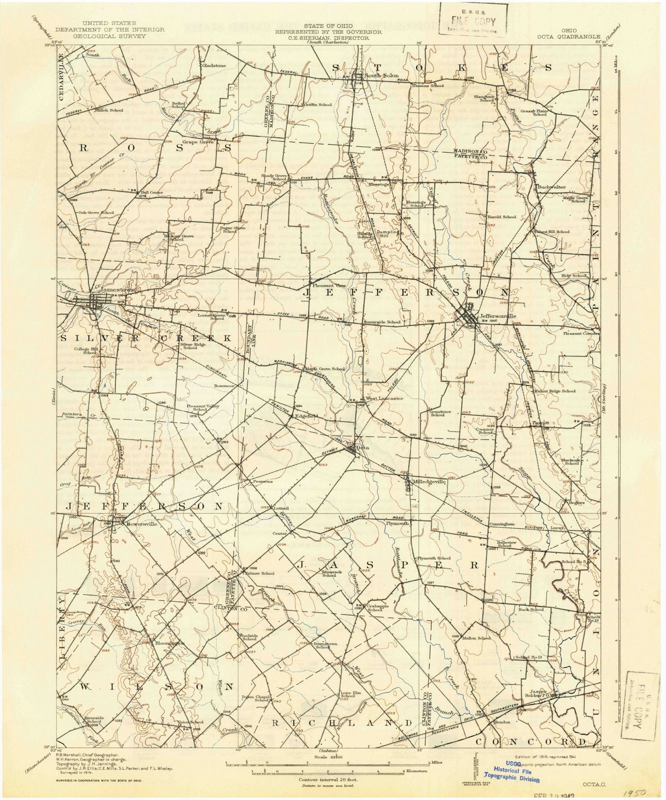
11 topographic sheets cover this place, the earliest surveyed in 1916 and the latest in 1986. It stands in Jefferson Township. It lies in ZIP code area 43153. The Survey maps it on the Jamestown quadrangle.
Then and now
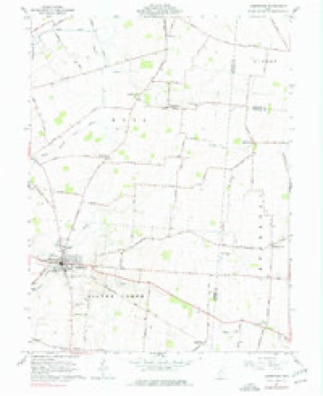
1916 to 1986The same ground, surveyed 70 years apart. Drag the handle to wipe between them. Both sheets are United States Geological Survey originals; neither has been altered.

Topographic sheets covering this place
11 sheetsMatched by testing this settlement's coordinate against the published boundary of every sheet in the United States Geological Survey's historical collection. Each opens the scanned sheet at the Survey.
- 1916 USGS Octa quadrangle1:62500
- 1944 USGS Octa quadrangle1:62500
- 1947 USGS Columbus quadrangle1:250000
- 1961 USGS Columbus quadrangle1:250000
- 1961 USGS Jamestown quadrangle1:24000
- 1961 USGS Jamestown quadrangle1:24000
- 1962 USGS Columbus quadrangle1:250000
- 1967 USGS Columbus quadrangle1:250000
- 1967 USGS Columbus quadrangle1:250000
- 1986 USGS Springfield quadrangle1:100000
- 1986 USGS Springfield quadrangle1:100000







What happened here
An account from the chapter on Jefferson township, in the words of 1914.
Preface
The Author has spent several months in constant travel and search, and taken unwearied pains, in collecting the names and records of the illustrious Pioneers, who made their homes first in Fayettte County. It has involved considerable time, expense, labor and difficulties. Visiting all the most noted places, mounds, camps, cliffs, etc., in the county, he has endeavored to portray the toils, hardships and privations of a pioneer life, when nothing but dense forests, inhabited only by Indians and wild beasts ; when the only habitation was the rude log cabin ; when the scream of the panther, the howl of the wolf, the hum of wild bees, and the war song of the savages constituted the music of the wilderness.
In the 1914 county history
73,361 words on this townshipThe county history of 1914 has no passage naming this settlement, which was common for the smaller places. Its township is covered in full.
The chapter on Jefferson Township covers the township.
Read the chapter on Jefferson Township - 73,361 words.
Specimens collected nearby
7 of 11 shownMuseums hold 11 specimens collected within 10 miles of Shady Grove between 1882 and 1972: 4 Fungi, 4 Plantae, 3 Animalia. 7 distinct Species records are shown. Collected by Kellerman, W.A., Lloyd, C.G., Murphy, William and others. Each is a physical object with a catalogue number, and each entry opens the museum's record. This is what was collected and kept, not a survey of what lives here - nothing can be concluded from a species being absent.
| Image | Species | Year | Collected by | Where, as recorded |
|---|---|---|---|---|
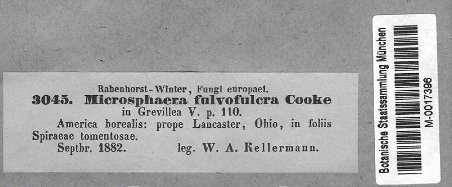 | Podosphaera clandestina var. clandestina (Wallr.) Lév. | 1882 | Kellerman, W.A. | America borealis: prope Lancaster, Ohio, in foliis Spiraeae tomentosae. |
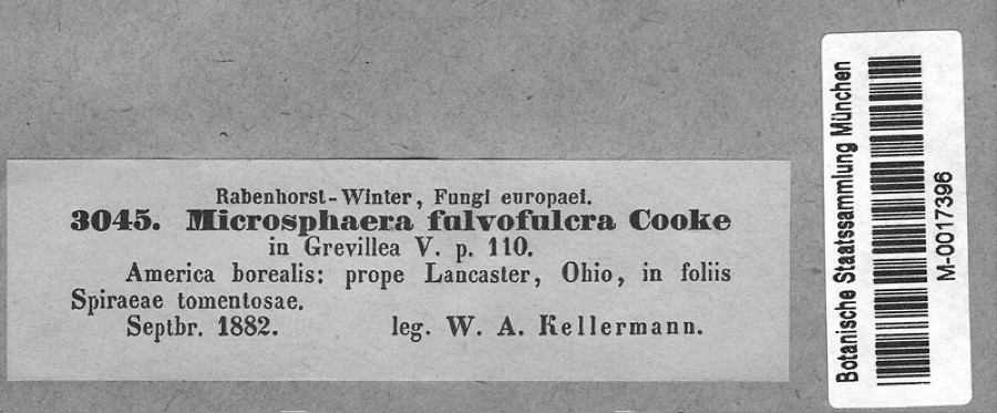 | Spiraea tomentosa L. | 1882 | Kellerman, W.A. | America borealis: prope Lancaster, Ohio, in foliis Spiraeae tomentosae. |
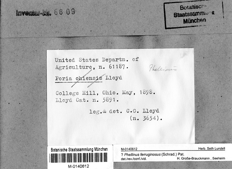 | Phellinus ferruginosus (Schrad.) Pat. | 1898 | Lloyd, C.G. | College Hill, Ohio |
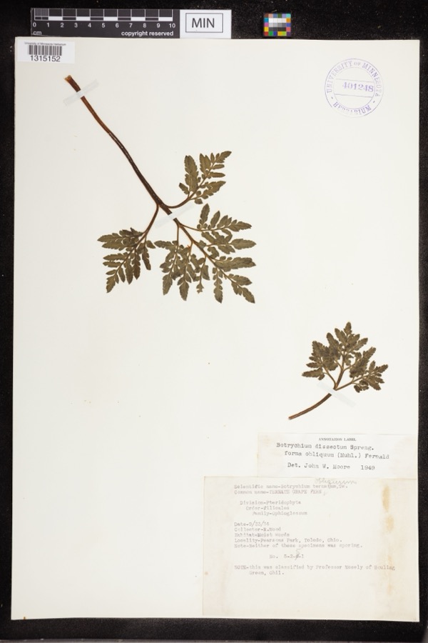 | Botrychium dissectum Spreng. | 1934 | Wood, R. | Pearsons Park |
| Sphaeriidae | 1962 | Murphy, William | Jeffersonville, KOA camp | |
| Lymnaeidae | 1972 | Murphy, William | Jeffersonville, KOA camp | |
| Physidae | 1972 | Murphy, William | Jeffersonville, KOA camp |
All 11 specimens within 10 miles, at the Global Biodiversity Information Facility.
Nearest settlements
The eight closest, with where each one stands in the county. Distances are straight-line, computed from the Geographic Names Information System coordinates.
| Map | Place | Distance | Sheets |
|---|---|---|---|
| Blessing | 2.0 miles | 12 | |
| Pleasant View | 2.7 miles | 11 | |
| Rosemoor | 5.4 miles | 11 | |
| Jeffersonville | 5.4 miles | 12 | |
| West Lancaster | 5.8 miles | 12 | |
| Bookwalter | 5.9 miles | 12 | |
| Edgefield | 6.2 miles | 11 | |
| Octa | 7.0 miles | 12 |
Provenance
This settlement is recorded in the Geographic Names Information System as feature 1063009. The sheet list is computed by point-in-boundary test against the United States Geological Survey's historical topographic inventory. Both are works of the United States government and carry no copyright under 17 U.S.C. 105.
Specimens. Global Biodiversity Information Facility (GBIF), https://www.gbif.org/. Only records licensed CC0 or CC BY are used. Records licensed CC BY-NC are excluded because this site carries advertising. Images are checked individually and any whose licence is non-commercial, no-derivatives or unreadable is refused.