 Block
Princeton, Massachusetts
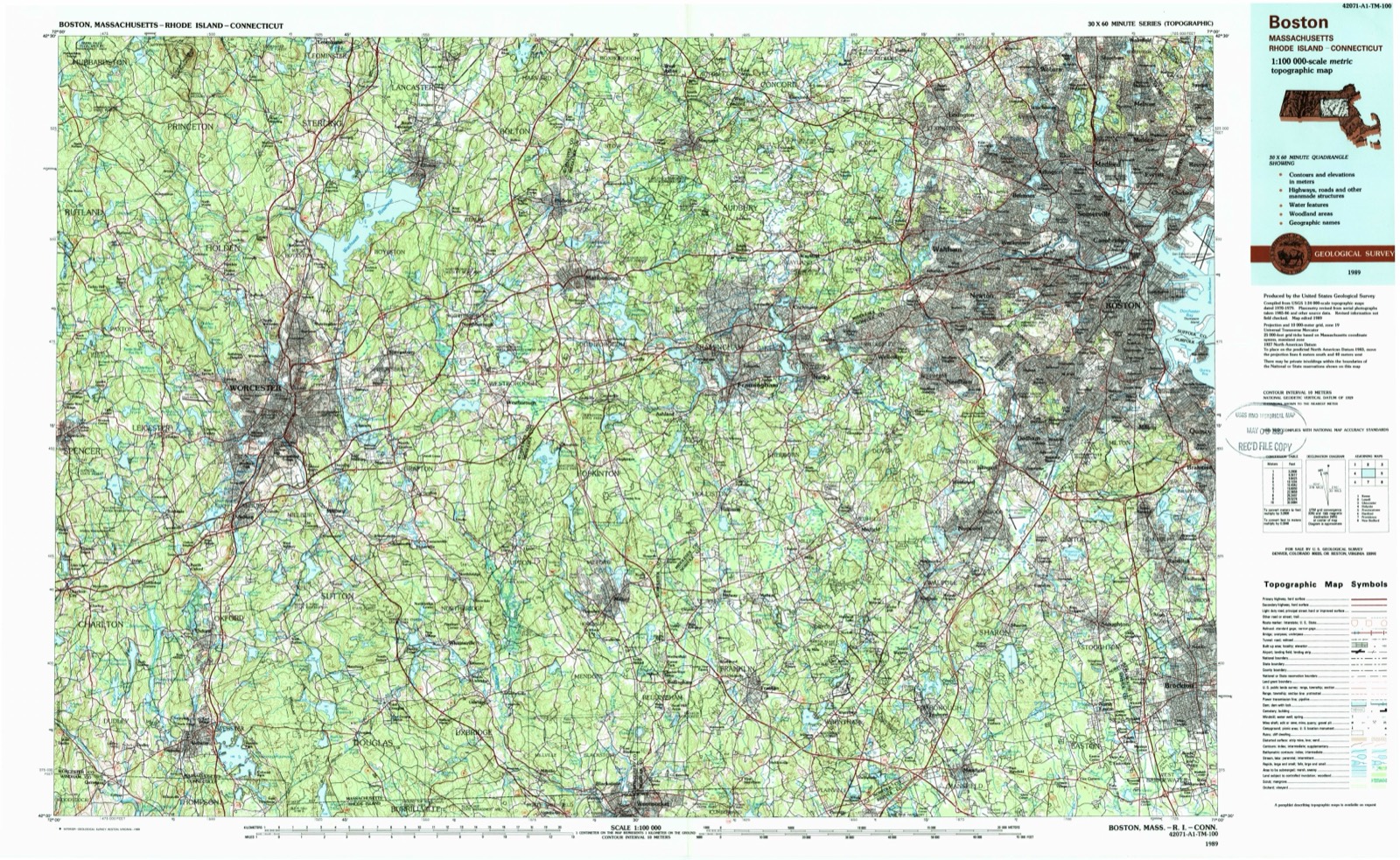
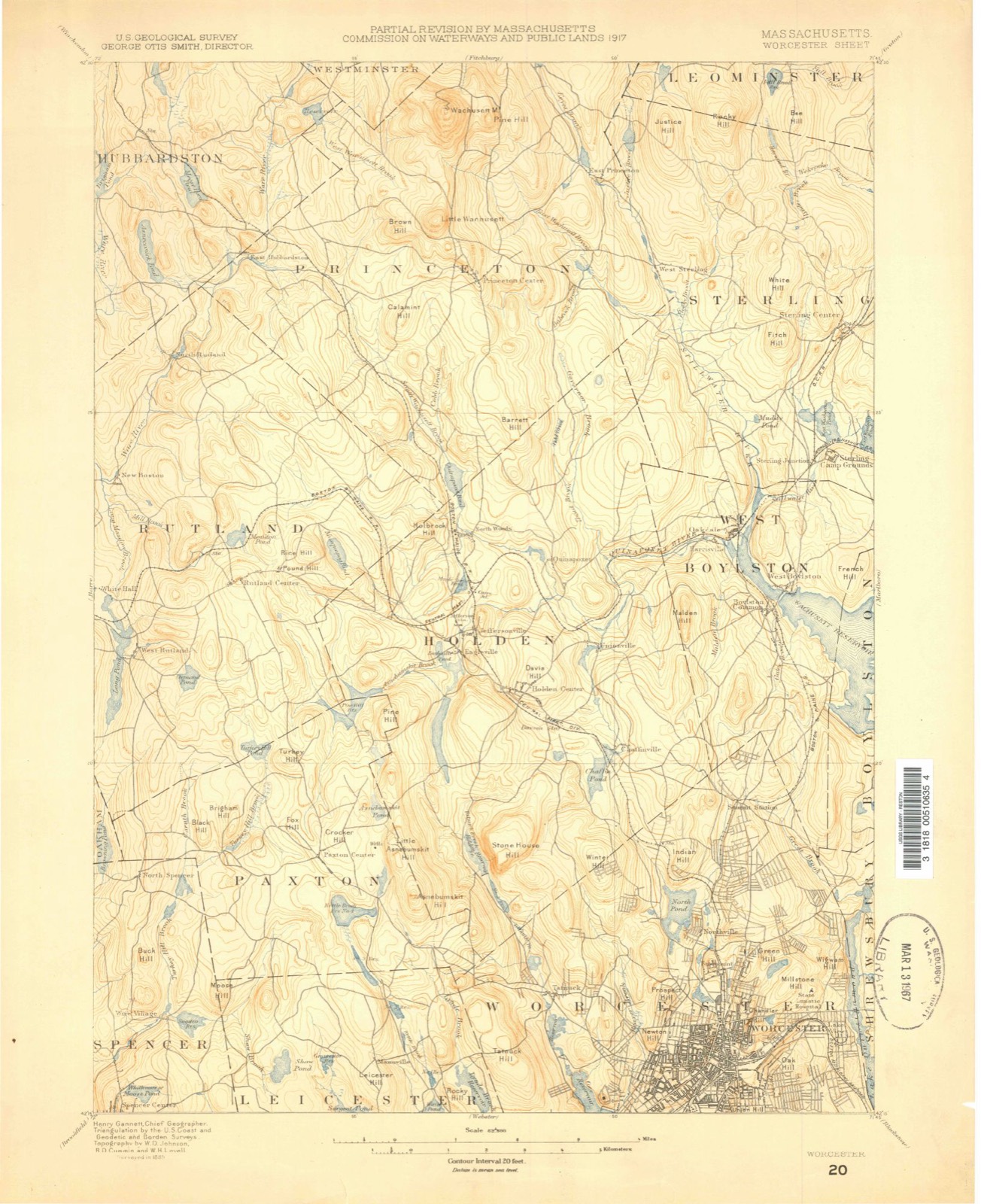
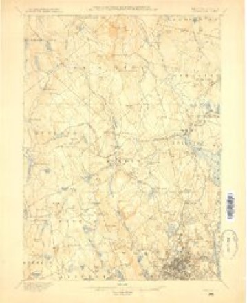
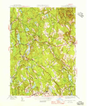
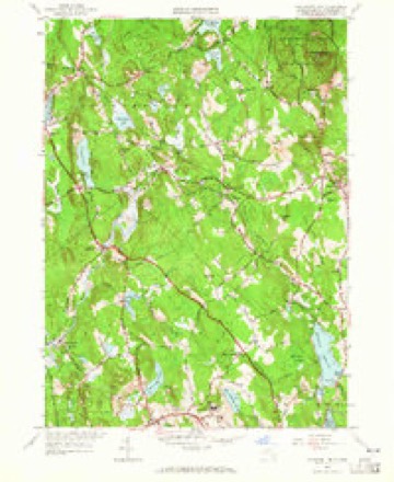
46 topographic sheets cover this place, the earliest surveyed in 1885 and the latest in 1989. It stands in Princeton town. It lies in ZIP code area 01541. It lies near Flagg Hill. The Survey maps it on the Wachusett Mountain quadrangle.
Then and now
1885 to 1989The same ground, surveyed 104 years apart. Drag the handle to wipe between them. Both sheets are United States Geological Survey originals; neither has been altered.
On record in Princeton
Buildings and businesses the archive holds for this place. Each opens its own page, with the source record it came from.
On the National Register 6 records
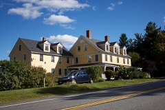 Fernside-Vacation House for Working Girlslisted 2002
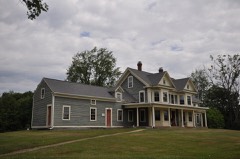 Four Corners-Goodnow Farm Historic Districtlisted 2015
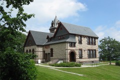 Princeton Center Historic Districtlisted 1999
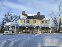 Russell Corner Historic Districtlisted 2006
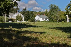 West Village Historic Districtlisted 2009
- East Princeton Village Historic Districtlisted 2004
Topographic sheets covering this place
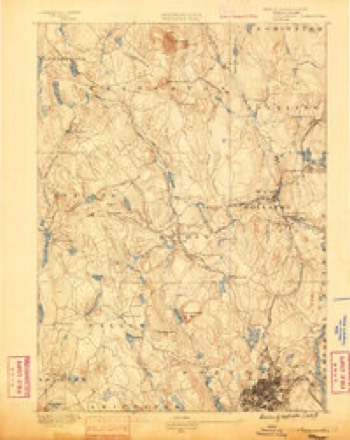
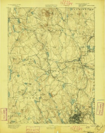
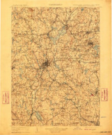
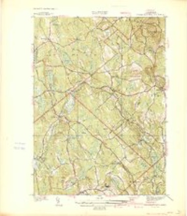
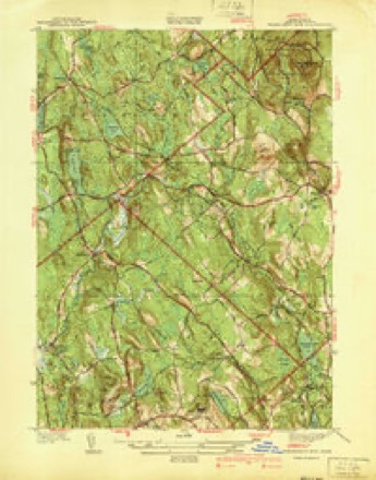
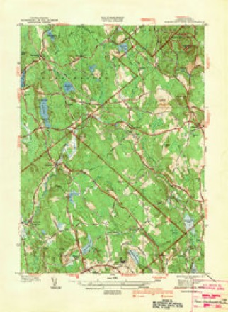
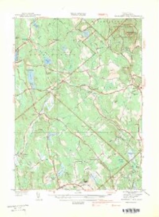
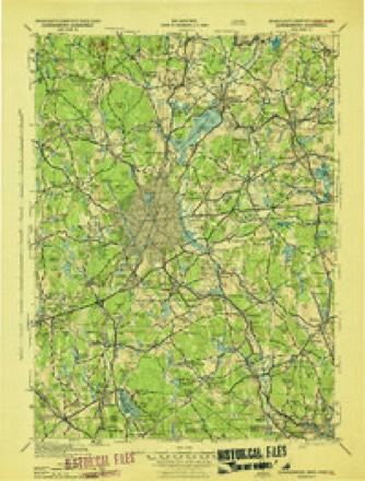
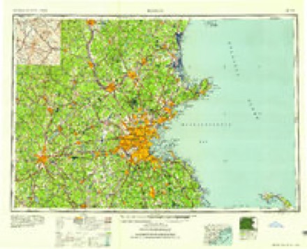
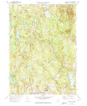
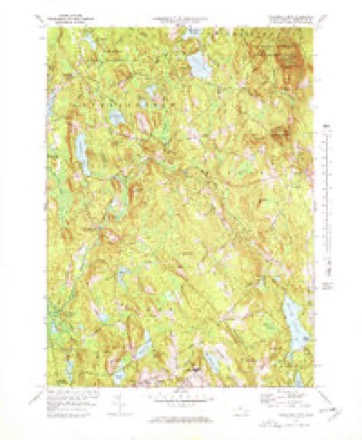
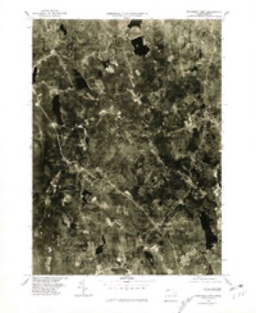
21 surveys from 46 printed sheetsMatched by testing this settlement's coordinate against the published boundary of every sheet in the United States Geological Survey's historical collection. Each opens the scanned sheet at the Survey.
- 1885 USGS Worcester quadrangle1:62500
- 1886 USGS Worcester quadrangle1:62500
- 1892 USGS Worcester quadrangle1:62500, 10 printings
- 1908 USGS Quinsigamond quadrangle1:125000, 3 printings
- 1939 USGS Wachusett Mtn quadrangle1:31680
- 1940 USGS Wachusett Mtn quadrangle1:31680, 2 printings
- 1942 USGS Wachusett Mtn quadrangle1:31680
- 1942 USGS Wachusett Mtn. quadrangle1:31680
- 1943 USGS Quinsigamond quadrangle1:125000
- 1946 USGS Wachusett Mtn quadrangle1:31680, 3 printings
- 1948 USGS Boston quadrangle1:250000, 2 printings
- 1956 USGS Boston quadrangle1:250000, 6 printings
- 1956 USGS Wachusett Mtn quadrangle1:24000, 2 printings
- 1958 USGS Boston quadrangle1:250000, 2 printings
- 1961 USGS Boston quadrangle1:250000, 2 printings
- 1972 USGS Wachusett Mtn quadrangle1:24000
- 1972 USGS Wachusett Mtn quadrangle1:25000
- 1975 USGS Wachusett Mtn. quadrangle1:25000
- 1985 USGS Boston quadrangle1:100000
- 1988 USGS Sterling quadrangle1:25000, 2 printings
- 1989 USGS Boston quadrangle1:100000, 2 printings
In the county-history sources
9,344 words on this townshipHistory of Worcester County, Massachusetts : with Biographical Sketches of Many of Its Pioneers and Prominent Men., published 1889 names this settlement in its chapter on Princeton Town. These are the passages that mention it, exactly as the scans read.
Ecclesiastical History. - The early settlers here, like all our New England towns, were decidedly a religious people. In October, 1759, when Princeton was incorporated, the Rev. Mr. Harrington, from Lancaster, preached the first sermon to a mere handful of people at Mr. Abijah Moore's. In 1762 the first meeting-house was erected and preaching was conducted here till 1764, when a church was organized, consisting of eighteen members. The Rev. Timothy Fuller was ordained as the first pastor of this church in 1767, and dismissed in 1776. The following succeeded him as pastors : Rev. Thomas Craft from 1780 to 1791 ; Rev. Joseph Russell from 1796 to 1801 ; Rev. James Murdock, D.D., from 1802 to 1815. At this time a division occurred in the church ; a large majority of its members, being dissatisfied with the ministrations of Rev. Samuel Clarke, withdrew and organized as a Presbyterian Church. Mr. Clarke was settled, in 1817, in fellowship with the Unitarian denomination, and continued his pastoral labors here until 1832. After his dismission their society employed what were considered evangelical preachers. Rev. John P. Cowley was settled in 1S33 and dismissed in 1834 ; Rev. Elijah Demond was pastor from 1836 to 1839; Rev. Willard M. Harding from 1840 to 1844 ; Rev. Alfred Goldsmith from 1845 to 1849 ; Rev. Henry Weeks from 1852 to 1855; Rev. William T. Briggs, 1856 to 1863; Rev. Mr. Zelie, 1864 to 1867 ; Rev. Roger M. Sargent, 1869 to 1871 ; Rev. George M. Howe, 1876 to 1884 ; Rev. A. L. Love, 1885 to 1887 ; and at present the church is supplied with Rev. Charles A. White. In 1817 a Baptist Society vvas organized by residents of the town and of Holden ; and in July, 1822, a church was formed, and in 1826 Rev. Elias Johnson became its pastor. In 1828 a small brick meeting-house was built a mile north of the centre of the town.
Passage source: History of Worcester County, Massachusetts : with Biographical Sketches of Many of Its Pioneers and Prominent Men., published 1889.
Name. - Princeton bears an honorable name. Its first cognomen was the East Wing of Rutland. As early as 1686 certain Indians conveyed by deed to Hervey Willard and others a large tract of land twelve miles square, of which Rutland became the centre. From this tract several towns were formed, and the eastern part, comprising about 12,000 acres, was designated East Wing of Rutland. In 1759 the proprietors of this land petitioned the Legislature for incorporation, and it was proposed, as Rev. Thomas Prince was by far the largest proprietor, to call the place Prince-town. Rev. Thomas Prince, besides being associated pastor of the Old South Church, Boston, was the most distinguished writer of his day. In 1771, after other additions of land amounting to some eight thousand acres, had been annexed, the inhabitants petitioned that the town be called Princeton.
Passage source: History of Worcester County, Massachusetts : with Biographical Sketches of Many of Its Pioneers and Prominent Men., published 1889.
Settlement in Princeton. - The first settlement was made. in 1743 by Joshua Wilder, from Lancaster, which had then been settled one hundred years, and was the first place settled in Worcester County. Wilder built a block-house on land since known as the Houghton place and lived here several years, being the only family.
Passage source: History of Worcester County, Massachusetts : with Biographical Sketches of Many of Its Pioneers and Prominent Men., published 1889.
Machine-read from a century-old scan, so expect the errors a machine makes: misspelled names, dropped words, stray characters.
Read the whole chapter on Princeton Town - it names this place 22 more 22 times.
Fires near this place
26 since 2015Regional context, not property-specific evidence. The federal wildfire occurrence database lists 26 fires within 5 miles of Princeton between 2015 and 2020, burning about 48 acres in total. None started naturally. 1 was recorded as arson. Distance is straight-line from the map coordinates, so a fire counted here may appear on a neighbouring settlement's page as well.
| Reported cause | Fires |
|---|---|
| Debris and open burning | 17 |
| Missing data/not specified/undetermined | 4 |
| Recreation and ceremony | 2 |
| Equipment and vehicle use | 2 |
| Arson/incendiarism | 1 |
The most recent of them, most recent first, with the day each was reported and the service that recorded it.
| Date | Cause | Size | Reported by | Name on the report |
|---|---|---|---|---|
| 2 August 2018 | Debris and open burning | under an acre | Massachusetts Bureau of Forest Fire Control | not named |
| 22 July 2016 | Equipment and vehicle use | under an acre | Massachusetts Bureau of Forest Fire Control | not named |
| 18 July 2016 | Missing data/not specified/undetermined | under an acre | Massachusetts Bureau of Forest Fire Control | not named |
| 19 June 2020 | Debris and open burning | under an acre | Massachusetts Bureau of Forest Fire Control | not named |
| 15 June 2017 | Debris and open burning | 1.5 acres | Massachusetts Bureau of Forest Fire Control | not named |
| 5 May 2015 | Debris and open burning | 1.0 acres | Massachusetts Bureau of Forest Fire Control | not named |
| 21 May 2020 | Debris and open burning | under an acre | Massachusetts Bureau of Forest Fire Control | not named |
| 18 May 2017 | Debris and open burning | under an acre | Massachusetts Bureau of Forest Fire Control | not named |
Settlements close enough to share some of these fires:
Specimens collected near this place
12 of 531 shownRegional context, not property-specific evidence. Museums hold 531 specimens collected within 10 miles of Princeton between 1848 and 1973: 317 Plantae, 119 Animalia, 86 Fungi, 4 Protozoa, 3 Unrecorded, 2 Chromista. 12 distinct Species records are shown. Collected by A. B. Seymour, A. Ferrett, A. K. Harrison and others. Each is a physical object with a catalogue number, and each entry opens the museum's record. This is what was collected and kept, not a survey of what lives here - nothing can be concluded from a species being absent.
| Image | Species | Year | Collected by | Where, as recorded |
|---|---|---|---|---|
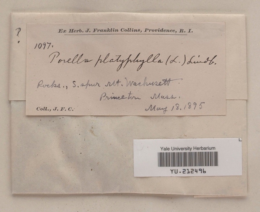 | Porella platyphylla (L.) Pfeiff. | 1895 | James F. Collins | South spur, Mount Wachusett |
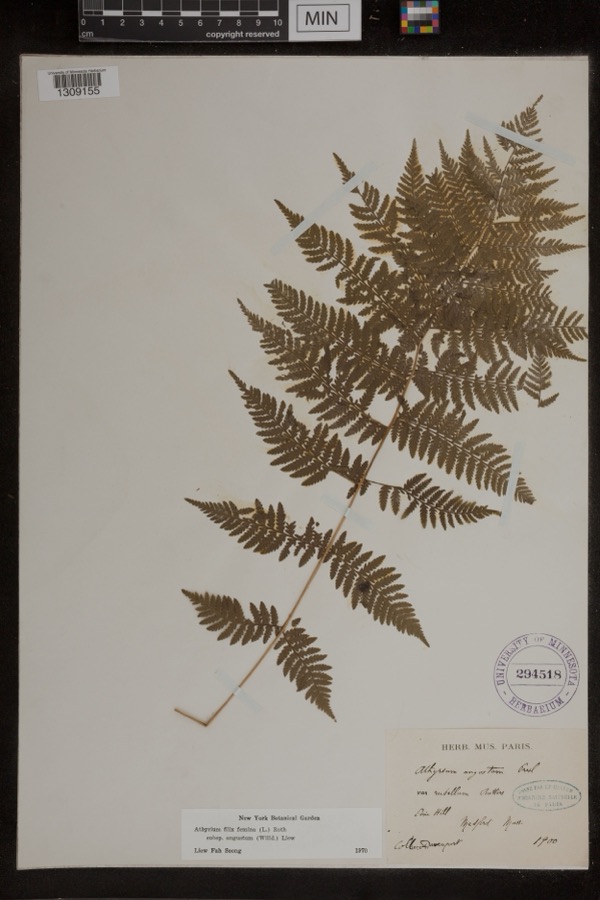 | Athyrium filix-femina subsp. angustum (Willd.) R.T.Clausen | 1900 | Davenport | Pine Hill; Medford |
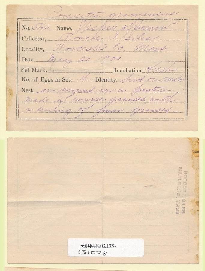 | Pooecetes gramineus gramineus (J.F.Gmelin, 1789) | 1900 | Roscoe I. Giles | |
 | Tamias striatus lysteri (Richardson, 1829) | 1848 | L Agassiz | PARSONS ISLAND |
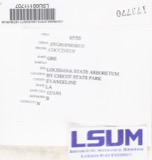 | Hygrophorus coccineus (Schaeff.) Fr. | 1856 | D. Murray; C. J. Sprague | [Presumably Massachusetts] |
| Clemmys insculpta Fitzinger, 1835 | 1864 | Agassiz | ||
 | Ripiphorus fasciatus (Say, 1824) | 1867 | not recorded | |
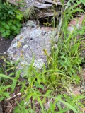 | Carex foenea Willd. | 1878 | W. Boott | Wachusett Mountain |
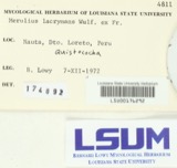 | Merulius lacrymans (Wulfen) Schumach. | 1879 | Howes, A. | Massachusetts |
 | Sibbaldiopsis tridentata (Aiton) Rydb. | 1879 | Bailey, W.W. | summit of Mt. Wachusett |
 | Diploschistes scruposus (Schreb.) Norman | 1880 | Alex Walther | [illegible] |
 | Trillium erectum L. | 1882 | Hayden, N. W. |
All 531 specimens within 10 miles, at the Global Biodiversity Information Facility.
Mines and quarries near this place
6 within 5 milesRegional context, not property-specific evidence. The federal mineral resources record lists 6 workings within 5 miles of Princeton: 3 past producers, 2 producers, 1 prospect. 2 still produce. What was taken out: Sand and Gravel, Construction, Stone, Crushed/Broken, Tungsten. Distance is straight-line from the map coordinates, so a quarry counted here may appear on a neighbouring settlement's page as well.
| Where | Site | Commodity | Status | Recorded |
|---|---|---|---|---|
| Holden Trap Rock Company | Stone, Crushed/Broken | Producer | ||
| Luciani Prospect | Tungsten | Prospect | ||
| Holden Pit & Mill | Sand and Gravel, Construction | Producer | ||
| Holden Sand and Gravel | Sand and Gravel, Construction | Past Producer | Sedimentary | |
| John D Pit | Sand and Gravel, Construction | Past Producer | ||
| Princeton Pit | Sand and Gravel, Construction | Past Producer |
Storms near this place
12 since 1997Regional context, not property-specific evidence. The National Weather Service names Princeton in 12 storm reports between 1997 and 2020: 6 thunderstorm wind, 4 hail, 1 tornado, 1 flash flood. No death or injury is recorded in these reports. Each account below is quoted exactly as the forecast office filed it, from the NOAA Storm Events Database, and each date opens the federal record of that event.
| When | Event | Place named | Harm | What the report says |
|---|---|---|---|---|
| June 2001 | Tornado (F1) | Princeton | $25,000 | Brief F1 touchdown |
| May 2009 | Thunderstorm Wind | Princeton | $2,000 | Trees were downed by thunderstorm winds. |
| September 2018 | Thunderstorm Wind | Princeton | $1,000 | At 2:55 PM EST, wind brought a tree down on Princeton Road in Sterling. |
| July 2020 | Thunderstorm Wind | Princeton | $500 | In Princeton, a tree was down on Mountain Road. |
| August 2014 | Flash Flood | East Princeton | - | Several roads were closed due to two feet of water flooding the roads. |
| July 2007 | Thunderstorm Wind | Princeton | - | Trees blown down in straight line off of Gleason Road just south of Route 140 and Route 31. |
| February 1997 | Thunderstorm Wind | Princeton | - | Trees and wires were reported down in Princeton. |
| August 2015 | Hail | Princeton | - | no account filed |
| August 2014 | Hail | Princeton | - | no account filed |
| June 2001 | Hail | Princeton | - | no account filed |
| June 2001 | Hail | Princeton | - | no account filed |
| June 1999 | Thunderstorm Wind | Princeton | - | no account filed |
Nearest settlements
The eight closest, with where each one stands in the county. Distances are straight-line, computed from the Geographic Names Information System coordinates.
| Map | Place | Distance | Sheets |
|---|---|---|---|
| Princeton Station | 2.5 miles | 46 | |
| East Princeton | 2.6 miles | 46 | |
| Brooks | 2.6 miles | 46 | |
| West Sterling | 3.1 miles | 46 | |
| Moores Corners | 3.6 miles | 46 | |
| North Woods | 3.9 miles | 46 | |
| Ruralville | 4.0 miles | 46 | |
| Muschopauge | 4.2 miles | 46 |
Provenance
This settlement is recorded in the Geographic Names Information System as feature 610129. The sheet list is computed by point-in-boundary test against the United States Geological Survey's historical topographic inventory. Both are works of the United States government and carry no copyright under 17 U.S.C. 105.
Wildfire. Short, Karen C. 2022. Spatial wildfire occurrence data for the United States, 1992-2020 [FPA_FOD_20221014]. 6th Edition. Fort Collins, CO: Forest Service Research Data Archive. https://doi.org/10.2737/RDS-2013-0009.6 Collected with United States Government funding and usable without additional permissions or fees.
Specimens. Global Biodiversity Information Facility (GBIF), https://www.gbif.org/. Only records licensed CC0 or CC BY are used. Records licensed CC BY-NC are excluded because this site carries advertising. Images are checked individually and any whose licence is non-commercial, no-derivatives or unreadable is refused.
Mines and quarries. USGS Mineral Resources Data System (MRDS) https://mrdata.usgs.gov/mrds/ A work of the United States government, no copyright under 17 U.S.C. 105.
Storms. NOAA National Centers for Environmental Information, Storm Events Database https://www.ncei.noaa.gov/stormevents/ A work of the United States government, no copyright under 17 U.S.C. 105. Narratives are quoted verbatim from the National Weather Service report and are not edited or summarised.