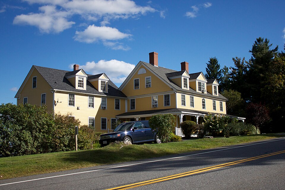
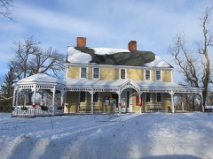
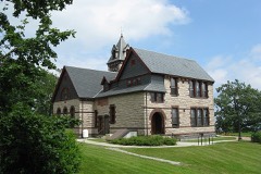
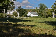
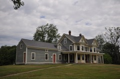
National Register reference number.02000695- the number the National Park Service assigned this property when it was listed, and the key its nomination file is catalogued under at the National Archives.
Ecclesiastical History. - The early settlers here, like all our New England towns, were decidedly a religious people. In October, 1759, when Princeton was incorporated, the Rev. Mr. Harrington, from Lancaster, preached the first sermon to a mere handful of people at Mr. Abijah Moore's. In 1762 the first meeting-house was erected and preaching was conducted here till 1764, when a church was organized, consisting of eighteen members. The Rev. Timothy Fuller was ordained as the first pastor of this church in 1767, and dismissed in 1776. The following succeeded him as pastors : Rev. Thomas Craft from 1780 to 1791 ; Rev. Joseph Russell from 1796 to 1801 ; Rev. James Murdock, D.D., from 1802 to 1815. At this time a division occurred in the church ; a large majority of its members, being dissatisfied with the ministrations of Rev. Samuel Clarke, withdrew and organized as a Presbyterian Church. Mr. Clarke was settled, in 1817, in fellowship with the Unitarian denomination, and continued his pastoral labors here until 1832. After his dismission their society employed what were considered evangelical preachers. Rev. John P. Cowley was settled in 1S33 and dismissed in 1834 ; Rev. Elijah Demond was pastor from 1836 to 1839; Rev. Willard M. Harding from 1840 to 1844 ; Rev. Alfred Goldsmith from 1845 to 1849 ; Rev. Henry Weeks from 1852 to 1855; Rev. William T. Briggs, 1856 to 1863; Rev. Mr. Zelie, 1864 to 1867 ; Rev. Roger M. Sargent, 1869 to 1871 ; Rev. George M. Howe, 1876 to 1884 ; Rev. A. L. Love, 1885 to 1887 ; and at present the church is supplied with Rev. Charles A. White. In 1817 a Baptist Society vvas organized by residents of the town and of Holden ; and in July, 1822, a church was formed, and in 1826 Rev. Elias Johnson became its pastor. In 1828 a small brick meeting-house was built a mile north of the centre of the town.
Name. - Princeton bears an honorable name. Its first cognomen was the East Wing of Rutland. As early as 1686 certain Indians conveyed by deed to Hervey Willard and others a large tract of land twelve miles square, of which Rutland became the centre. From this tract several towns were formed, and the eastern part, comprising about 12,000 acres, was designated East Wing of Rutland. In 1759 the proprietors of this land petitioned the Legislature for incorporation, and it was proposed, as Rev. Thomas Prince was by far the largest proprietor, to call the place Prince-town. Rev. Thomas Prince, besides being associated pastor of the Old South Church, Boston, was the most distinguished writer of his day. In 1771, after other additions of land amounting to some eight thousand acres, had been annexed, the inhabitants petitioned that the town be called Princeton.
Regional context, not property-specific
evidence. The
federal wildfire occurrence database
lists 28 fires within 5 miles of Fernside-Vacation House for Working Girls
between 2015 and 2020, burning about 51 acres in total. None started naturally. 1 was recorded as arson.
Distance is straight-line from the map coordinates, so a fire counted
here may appear on a neighbouring settlement's page as well.
Reported cause
Fires
Debris and open burning
19
Missing data/not specified/undetermined
3
Recreation and ceremony
2
Equipment and vehicle use
2
Arson/incendiarism
1
Power generation/transmission/distribution
1
The most recent of
them, most recent first, with the day each was reported and the service
that recorded it.
Regional context, not property-specific
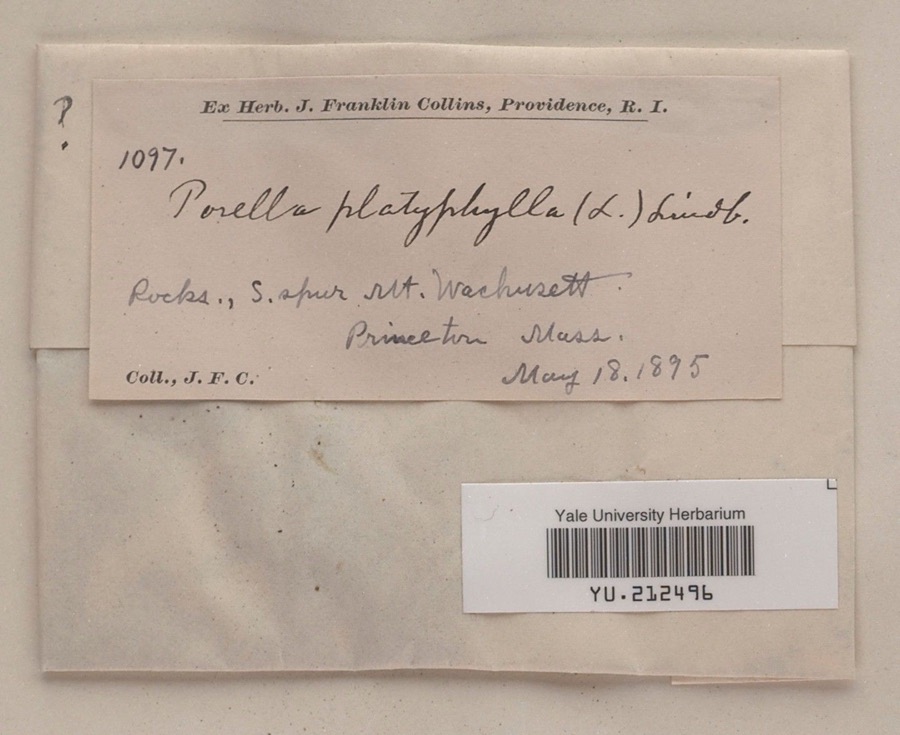
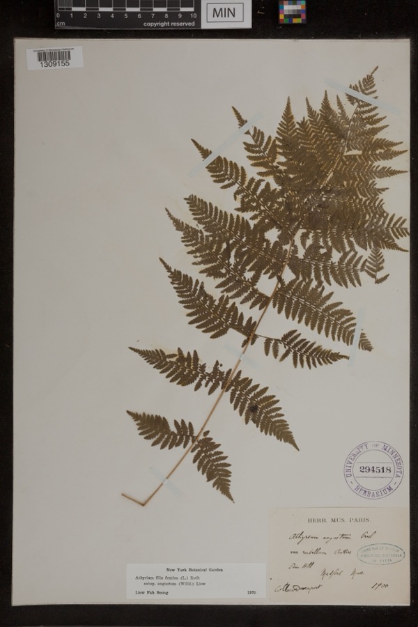
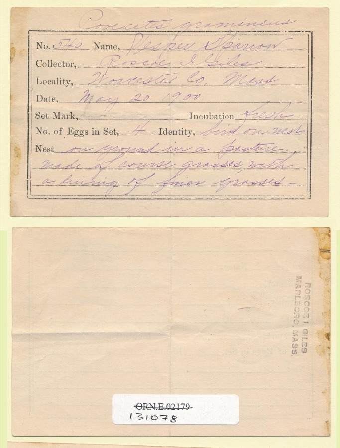
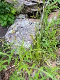
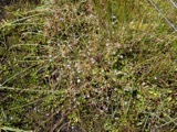
evidence. Museums hold 520 specimens
collected within 10 miles of Fernside-Vacation House for Working Girls between 1848 and 1973: 297 Plantae, 108 Fungi, 105 Animalia, 4 Protozoa, 3 Unrecorded, 3 Chromista.
12 distinct Species records are shown.
Collected by A. B. Seymour, A. Ferrett, A. J. Stone and others. Each is a
physical object with a catalogue
number, and each entry opens the museum's record. This is what was
collected and kept, not a survey of what lives here - nothing can be
concluded from a species being absent.
Regional context, not property-specific
evidence. The federal mineral resources record lists
4 workings within 5 miles of Fernside-Vacation House for Working Girls: 2 past producers, 1 producer, 1 prospect.
1 still produces. What was taken out: Sand and Gravel, Construction, Tungsten. Distance is straight-line from the
map coordinates, so a quarry counted here may appear on a neighbouring
settlement's page as well.
Regional context, not property-specific
evidence. The National Weather Service names
Princeton, the town this property stands in, in 12 storm reports between 1997 and 2020: 6 thunderstorm wind, 4 hail, 1 tornado, 1 flash flood.
No death or injury is recorded in these reports. Each account below is quoted exactly as the forecast office
filed it, from the NOAA Storm Events Database, and each date
opens the federal record of that event.
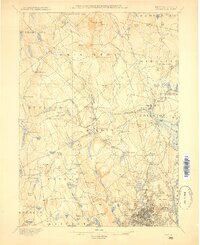
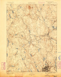
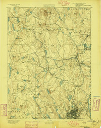
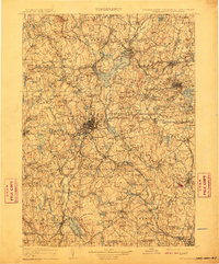
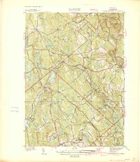
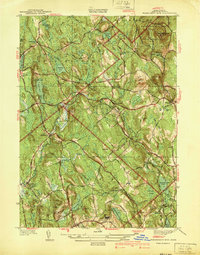
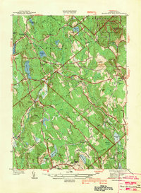
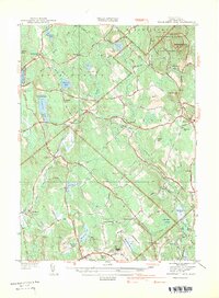
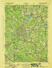
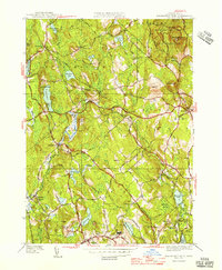
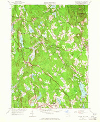
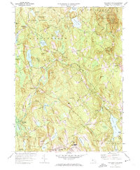
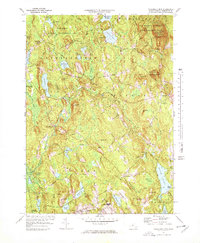
United States Geological Survey topographic
sheets whose coverage includes this point. Matched by taking the coordinate the National Park Service records for this property, then
testing that coordinate against the published boundary of every sheet.
When this property was proposed for the
National Register, someone wrote the case for it: what the building is,
and why it matters. That document is a federal record in the public domain.
It is quoted below word for word, never summarised. The text was read off the scanned case file by machine, so the
occasional stray character is the recogniser's and the 1970s
typewriter's.
Statement of significance
Applicable National Register Criteria (Mark "x" in one or more boxes for the criteria qualifying the property for National Register listing.) X A Property is associated with events that have made a significant contribution to the broad patterns of our history. _B Property is associated with the lives of persons Significant in our past. X C Property embodies the distinctive characteristics of a type, period, or method of construction or represents the work of a master, or possesses high artistic values, or represents a significant and distinguishable entity whose components lack individual distinction. _D Property has yielded, or is likely to yield, information important in prehistory or history.
Criteria Considerations (Mark "x" in all the boxes that apply.) Property is: _A owned by religious institution or used for religious purposes. _ B removed from its original location. _C a birthplace or grave. _ D a cemetery. _E a reconstructed building, object, or structure. _ F a commemorative property. _G less than 50 years of age or achieved significance within the past 50 years.
Narrative Statement of Significance (Explain the significance of the property on one or more continuation sheets.) Worcester, Massachusetts County and State Areas of Significance (Enter categories from instructions) ARCHITECTURE ENTERTAINMENT/RECREATION SOCIAL HISTORY Period of Significance 1835-1952 Significant Dates 1835- original construction of house 1870- first use as summer boarding house 1890- 1°t use as vacation inn by Working Girls' Club Significant Person (Complete if Criterion B is marked above) n/a Cultural Affiliation N/a Architect/Builder N/a 9.
Quoted from the National Register nomination
for reference 02000695, 110 pages, held by the National Archives in Record
Group 79. See the
catalogue record.
Listed places nearby
6 within 8 miles
Other National Register properties close
enough to walk or drive between, ordered by distance from this one. Both
positions come from the same geocoding pass that matched these properties
to their map sheets.
Listing record. National Park Service National Register of Historic Places, listed-properties dataset, current to 2026-05-22.
Map join. Address geocoded through the United States Census geocoder, then tested against the published boundary of every sheet in the USGS Historical Topographic Map Collection.
How this page is made. Listing fields come from federal records; map-sheet coverage is a labelled coordinate-to-boundary calculation, not a source-field claim.
Wildfire. Short, Karen C. 2022. Spatial wildfire occurrence data for the United States, 1992-2020 [FPA_FOD_20221014]. 6th Edition. Fort Collins, CO: Forest Service Research Data Archive. https://doi.org/10.2737/RDS-2013-0009.6 Collected with United States Government funding and usable without additional permissions or fees.
Specimens. Global Biodiversity Information Facility (GBIF), https://www.gbif.org/. Only records licensed CC0 or CC BY are used. Records licensed CC BY-NC are excluded because this site carries advertising. Images are checked individually and any whose licence is non-commercial, no-derivatives or unreadable is refused.
Mines and quarries. USGS Mineral Resources Data System (MRDS) https://mrdata.usgs.gov/mrds/ A work of the United States government, no copyright under 17 U.S.C. 105.
Storms. NOAA National Centers for Environmental Information, Storm Events Database https://www.ncei.noaa.gov/stormevents/ A work of the United States government, no copyright under 17 U.S.C. 105. Narratives are quoted verbatim from the National Weather Service report and are not edited or summarised.
 Block