 Block
Putnam, Ohio
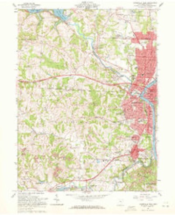
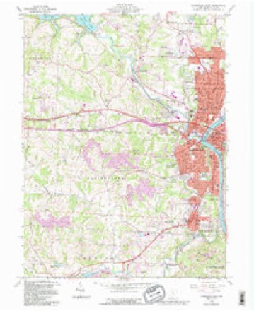
13 topographic sheets cover this place, the earliest surveyed in 1910 and the latest in 1992. It stands in Zanesville City. It lies in ZIP code area 43701. It stands on Putnam Hill. The Survey maps it on the Zanesville West quadrangle.
Then and now
1910 to 1992The same ground, surveyed 82 years apart. Drag the handle to wipe between them. Both sheets are United States Geological Survey originals; neither has been altered.
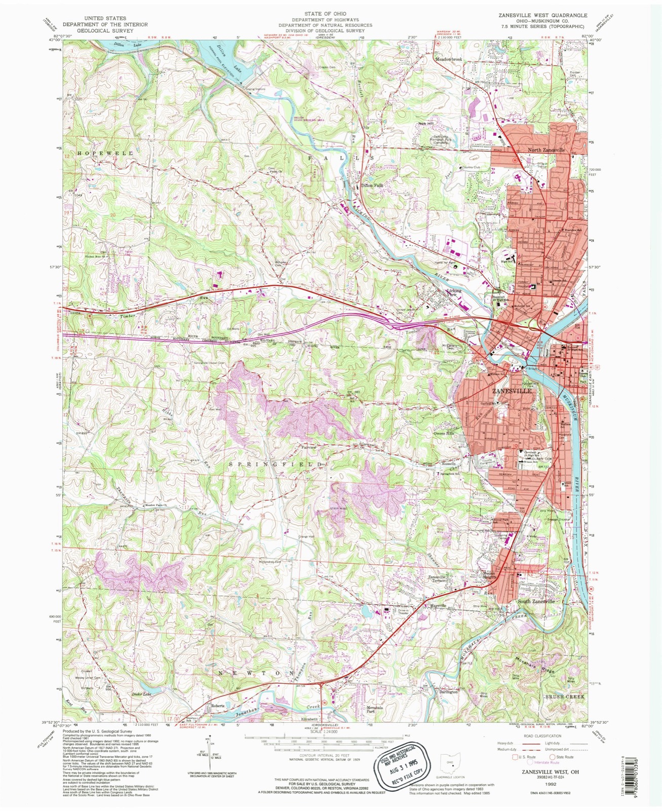
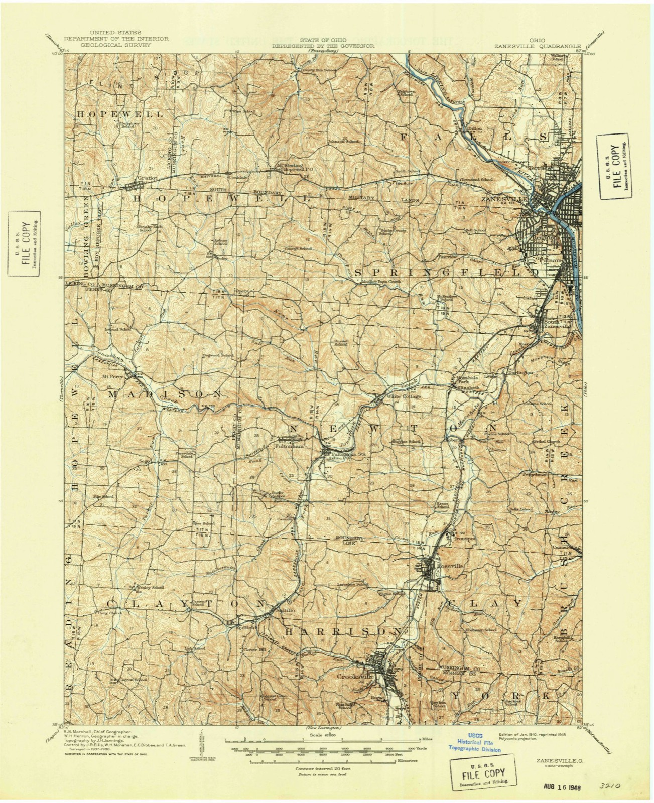
Compare 1910 against another survey:
On record in Putnam
Buildings and businesses the archive holds for this place. Each opens its own page, with the source record it came from.
On the National Register within a mile 7 records
The National Register names another town for these. They stand within one mile of this settlement's coordinate.
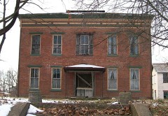 Frederick Augustus Seborn Houselisted 1978 · 0.1 miles away
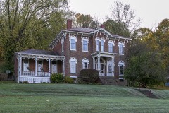 Nicholas Christman Houselisted 1978 · 0.7 miles away
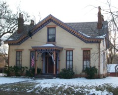 Charles Brendel Houselisted 1980 · 0.8 miles away
- Grant Schoollisted 2023 · 0.3 miles away
- Abram Emery Houselisted 2016 · 0.3 miles away
- Putnam Historic Districtlisted 1975 · 0.7 miles away
- Brighton-Drydon Historic Districtlisted 1982 · 0.9 miles away
Topographic sheets covering this place
8 surveys from 13 printed sheetsMatched by testing this settlement's coordinate against the published boundary of every sheet in the United States Geological Survey's historical collection. Each opens the scanned sheet at the Survey.
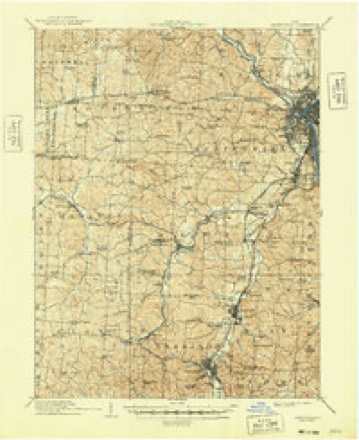
- 1910 USGS Zanesville quadrangle1:62500, 2 printings
- 1947 USGS Columbus quadrangle1:250000
- 1961 USGS Columbus quadrangle1:250000
- 1961 USGS Zanesville West quadrangle1:24000, 4 printings
- 1962 USGS Columbus quadrangle1:250000
- 1967 USGS Columbus quadrangle1:250000, 2 printings
- 1984 USGS Lancaster quadrangle1:100000
- 1992 USGS Zanesville West quadrangle1:24000
What happened here
An account from the chapter on Zanesville city. The inset identifies its exact source book and publication year.
Hazlett Post, No. 81
was so named in honor of Captain John C. Hazlett, of 2d O. V. I., and his cousin, Harry Hazlett, of the 5th U.S. Artillery, both of whom were killed during the Civil war; the post was organized June 1, 1881, with the following officers: C. C. Goddard, post commander; M. V. B. Kennedy, senior vice commander; Wilson C.
In the county-history sources
111,688 words on this townshipBiographical and Historical Memoirs of Muskingum County, Ohio; Embracing an Authentic and Comprehensive Account of the Chief Events in the History of the County and a Record of the Lives of Many of the Most Worthy Families and Individuals, published 1892 names this settlement in its chapter on Zanesville City. These are the passages that mention it, exactly as the scans read.
The first hearse seen in Zanesville was .a primitive affair without trimming or lining, owned by Stevens & Mussellman. Louis Brenholtz, the first regular undertaker, began business in 1837. He had a hearse built by William Schultz. James Cherry, in Putnam, kept the first ready made coffins. E. N. Hatcher, who began here as an undertaker in 1867, not long afterward formed a partnership with John PI. Crooks, in the manufacture of coffins, which continued until 1878, when they separated, each continuing business on his own account. In 1878, Hatcher wrote and published a Funeral Guide, which as the title page said gave " the minutest detail oT the whole funeral obsequies." In 1869 Messrs. Jonathan Hatcher & Sons built an addition to a building that had been erected about 1854 by Mann & Smith, and opened the first coffin manufactory in town. In 1872 the name of the firm was changed to J. Hatcher & Co., and in 1879 the business passed into the control of an incorporated concern, since known as the Zanesville Coffin Company. Henry Sneerer began undertaking on North Fifth street in 1871, and in 1873 sold out to John H. Crooks, who in 1879 removed to North Fifth street.
Passage source: Biographical and Historical Memoirs of Muskingum County, Ohio; Embracing an Authentic and Comprehensive Account of the Chief Events in the History of the County and a Record of the Lives of Many of the Most Worthy Families and Individuals, published 1892.
Since the time of the arrival of the first mails in Zanesville in 1798, when Daniel Convers entered into contract with the national government to carry the mails from Marietta to this point and return weekly, the changes have been numerous and great. Wm. McCulloch, the first postmaster, found but little to do in his official capacity, but with the growth of the village and the establishment of improved mail facilities, the work became greater. In August, 1817, from one weekly mail, Zanesville had risen so that she had the benefit of six mails per week - three from the East and three from the West. At this time the mails were carried upon the regular stage routes which had been established. In this same year, (January 30) Putnam had an office established, with Henry Safford as postmaster. In June, 1838, an office was established for West Zanesville under the name of Muskingum, with John W. P. Lane as postmaster, but was discontinued in 1843, and that village did without a postoffice until in January, 1852, when the West Zanesville postoffice was established with Joseph H. Parke in charge. In 1849, the postoffice at Zanesville became a president appointive office, and soon thereafter the mails began to be delivered by railroads instead of by the old stage coach. In 1864, a money order department was established here and the system was fully inaugurated November 1, 1864. In August, 1880, this office was made the depository for this section of the state, and now receives the deposits from the postoffices in the following counties: Belmont, Coshocton, Guernsey, Monroe, Morgan, Muskingum, Noble, Perry and Washington. The number of postoffices thus depositing is about 400; the average amount deposited here by these offices is $21,000 per annum. At about the same time that theoffice was made a general depository, the free delivery system wasintroduced,andthe postoffices in Putnam and West Zanesville were discontinued. October 1st, 1880, the free delivery system was inaugurated. The inspiration and salvation of every progressive mercantile, commercial and manufacturing community is dependent upon ample banking facilities - upon banks that are sound, rich and reputable, conservatively managed and yet liberal in their treatment of those who, investing their capital, brains and labor in local enterprises of a legitimate and beneficial nature, may at times require reasonable assistance in the way of pecuniary accommodation. It is safe to say that no community of equal numbers in the country is better supplied with fiduciary institutions of this kind than is Zanesville, nor has any set of banks and business men a better or more cordial mutual understanding than exists here. The banks are seven in number - three national, one private, and three savings banks. All of these institutions are in a flourishing condition, as will be seen from the appended official statements: First
Passage source: Biographical and Historical Memoirs of Muskingum County, Ohio; Embracing an Authentic and Comprehensive Account of the Chief Events in the History of the County and a Record of the Lives of Many of the Most Worthy Families and Individuals, published 1892.
The history of the real estate business in Zanesville, is different from that of most other American cities in that it is characterized neither by periods when prices were unreasonably inflated, nor by times when property could be purchased far below its actual value. Zanesville, conservative from the very first of its history, has suffered only when the entire country has been demoralized by panic. After the laying out of Zanesville and its sister villages on the opposite bank of the river, the rise in the prices of realty was unusually steady, although slow, until 1836, when the figures reached by property in the heart of the town were almost as high as at present. The terrific panic which swept over the United States the following year, dragged real estate here as everywhere else, to the bott m. Instances are cited where valuable lots in the most thoroughly desirable locations, were sold in 1837, at seventy per cent, less than the prices at which they had been bought twelve months before. The recovery was not rapid, and it was nearly 1850 before property owners could realize anything like the actual value of their town lots. However, after 1851 there was a steady, healthy advance, continuing without interruption until 1866, when property was sold at better prices than ever before in the history of the town. A noticeable feature of this advance was that it affected suburban property as never before. After this time there was little or no increase of the actual selling prices of Zanesville real estate. It held its own, but as practically none had been bought for purely speculative purposes, it was not pushed beyond its real value. In 1873 of course "everything went.'' The recovery of real estate values was slow, it being some time before Zanesville property would bring what it was actually worth. After getting back to the ante-panic figures, there was little if any advance. A good deal of city property was on the market, but sales were not numerous, as owners were not willing to make concessions and buyers were not eager. This state of affairs continued until 1886, the autumn of which year marked the beginning of a new area in local real estate business. The occasion was the first speculation of any magnitude in suburban property, - the platting of the beautiful farm of the Hon. H. J. Jewett, "Fair Oaks," just south of Putnam. The first sale of lots look place in October, and the sales for the single day aggregated $24,000, the lots bringing an average price of $175. Since that the increase of the sales and prices of suburban property has been gratifying. The revival of Putnam property, which began at that time, has continued and still continues. Immediately after this came the advance in property on the Terrace; where in a great many cases lots have doubled, and in some instances trebled, in value. Natchez, also came in for an appreciation in the prices of its lots, with and without improvements. Lots in the higher land in this locality which four years ago brought $350, are now ready sellers at over $500. Property on Marietta street and adjacent has also steadily advanced ; many improvements have been made; and there is less property for sale in this section than in any other part of the city. With the rise of suburban real estate there has naturally come an appreciation of that in the heart of the town. Main street property has slowly and surely advanced and at present there is little or no property on that street in the market. There is also a great scarcity of purchasable property on the streets crossing Main - particularly west of Sixth street. Among the recent advances may be noticed that in the northern part of the city, it having been affected by the bridge now in course of construction at Underwood street. When completed, this bridge is, of course, also bound to cause an increase in values on the Terrace - especially the upper part. It is to be noted that, despite the advances on property here in the past four years, real estate still sold at more reasonable figures than the prices of similar property in other places of Zanesville's size and importance. The recent increases have been from below the real values to the actual worth of real estate - not from its real value to a point above.
Passage source: Biographical and Historical Memoirs of Muskingum County, Ohio; Embracing an Authentic and Comprehensive Account of the Chief Events in the History of the County and a Record of the Lives of Many of the Most Worthy Families and Individuals, published 1892.
Machine-read from a century-old scan, so expect the errors a machine makes: misspelled names, dropped words, stray characters.
Read the whole chapter on Zanesville City - it names this place 28 more 28 times.
Fires near this place
55 since 2002Regional context, not property-specific evidence. The federal wildfire occurrence database lists 55 fires within 5 miles of Putnam between 2002 and 2020, burning about 40 acres in total. None started naturally. 3 were recorded as arson. Distance is straight-line from the map coordinates, so a fire counted here may appear on a neighbouring settlement's page as well.
| Reported cause | Fires |
|---|---|
| Debris and open burning | 29 |
| Power generation/transmission/distribution | 7 |
| Equipment and vehicle use | 6 |
| Missing data/not specified/undetermined | 5 |
| Arson/incendiarism | 3 |
| Smoking | 3 |
| Recreation and ceremony | 2 |
The most recent of them, most recent first, with the day each was reported and the service that recorded it.
| Date | Cause | Size | Reported by | Name on the report |
|---|---|---|---|---|
| 30 September 2019 | Debris and open burning | 1.0 acres | Ohio Department of Natural Resources | 15277 |
| 30 September 2019 | Debris and open burning | 1.0 acres | Ohio Department of Natural Resources | 15278 |
| 28 September 2019 | Equipment and vehicle use | under an acre | Ohio Department of Natural Resources | 15264 |
| 1 September 2019 | Debris and open burning | under an acre | Ohio Department of Natural Resources | 15236 |
| 28 August 2015 | Arson/incendiarism | under an acre | Ohio Department of Natural Resources | 2969 |
| 12 August 2015 | Debris and open burning | under an acre | Ohio Department of Natural Resources | 2971 |
| 6 July 2020 | Equipment and vehicle use | under an acre | Ohio Department of Natural Resources | 15772 |
| 2 July 2018 | Power generation/transmission/distribution | 1.0 acres | Ohio Department of Natural Resources | 12325 |
Settlements close enough to share some of these fires:
Specimens collected near this place
12 of 821 shownRegional context, not property-specific evidence. Museums hold 821 specimens collected within 10 miles of Putnam between 1873 and 1975: 735 Animalia, 61 Plantae, 15 Fungi, 5 Protozoa, 4 Unrecorded, 1 Chromista. 12 distinct Species records are shown. Collected by A.E. Miller, Adams, W. (William), Trautman, M. B. (Milton Bernard) et al., Adams, W. M. and others. Each is a physical object with a catalogue number, and each entry opens the museum's record. This is what was collected and kept, not a survey of what lives here - nothing can be concluded from a species being absent.
| Image | Species | Year | Collected by | Where, as recorded |
|---|---|---|---|---|
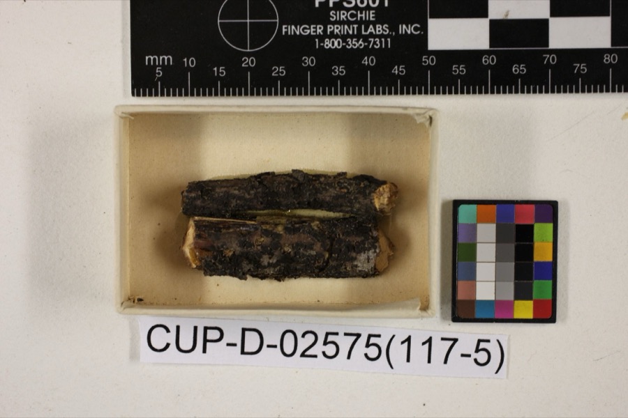 | Scleroderris rubra Morgan | 1891 | Morgan, Andrew Price | Preston |
 | Peziza nana Massee & Morgan | 1895 | Morgan, Andrew Price | Preston |
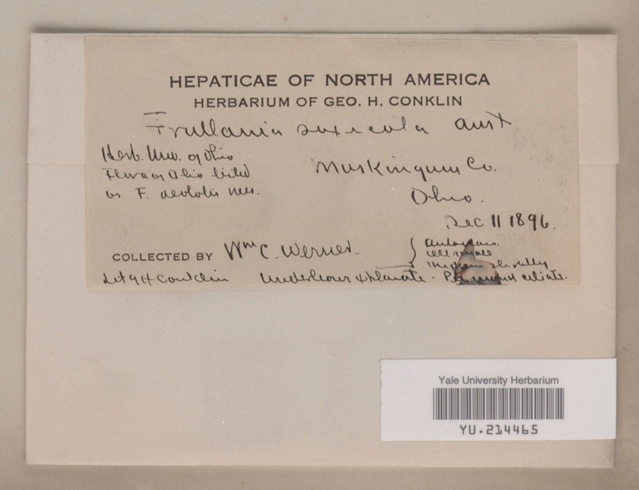 | Frullania saxicola Austin | 1896 | William C. Werner | |
 | Poa cuspidata Nutt. | 1873 | W. M. Canby | Zanesville. |
 | Frullania eboracensis Lehm. | 1890 | W. C. Werner | |
 | Porella pinnata L. | 1891 | W. C. Werner | |
 | Porella platyphylla (L.) Pfeiff. | 1891 | W. C. Werner | |
 | Fissidens adianthoides Hedw. | 1892 | W. C. Werner | Fultonham |
 | Lycogala exiguum Morgan, 1893 | 1893 | Morgan A.P. | Preston |
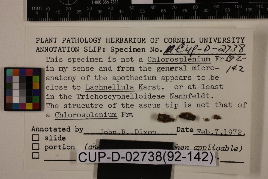 | Lachnum viridulum Massee & Morgan | 1905 | Morgan, Andrew Price | Preston |
 | Peziza morganii Massee | 1905 | Morgan, Andrew Price | Preston (The no longer extant town of Preston, Ohio, was located in Hamilton County in the Miami River drainage). |
| Tapesia derelicta Morgan | 1905 | Morgan, Andrew Price | Preston |
All 821 specimens within 10 miles, at the Global Biodiversity Information Facility.
Mines and quarries near this place
6 within 5 milesRegional context, not property-specific evidence. The federal mineral resources record lists 6 workings within 5 miles of Putnam: 4 producers, 2 past producers. 4 still produce. What was taken out: Sand and Gravel, Construction, Limestone, General, Iron. Distance is straight-line from the map coordinates, so a quarry counted here may appear on a neighbouring settlement's page as well.
| Where | Site | Commodity | Status | Recorded |
|---|---|---|---|---|
| Armco Inc/ Zanesville, Ohio | Iron | Producer | ||
| Sidwell Brothers Limestone Quarry | Limestone, General | Past Producer | Sedimentary | |
| Granite Plant Pit | Sand and Gravel, Construction | Producer | ||
| Muskingum R. Plant No 1 Mine & Mill | Sand and Gravel, Construction | Producer | ||
| Plant Number 4 Pit | Sand and Gravel, Construction | Past Producer | Sedimentary | |
| Salt Creek Materials Co. | Sand and Gravel, Construction | Producer |
Nearest settlements
The eight closest, with where each one stands in the county. Distances are straight-line, computed from the Geographic Names Information System coordinates.
| Map | Place | Distance | Sheets |
|---|---|---|---|
| Brighton | 0.7 miles | 13 | |
| Westwood | 1.0 miles | 13 | |
| Southern Meadows | 1.2 miles | 15 | |
| Zanesville | 1.3 miles | 13 | |
| Russells | 1.3 miles | 13 | |
| South Zanesville | 1.6 miles | 13 | |
| West Zanesville | 1.7 miles | 13 | |
| Forest Hills | 1.8 miles | 15 |
Provenance
This settlement is recorded in the Geographic Names Information System as feature 1067305. The sheet list is computed by point-in-boundary test against the United States Geological Survey's historical topographic inventory. Both are works of the United States government and carry no copyright under 17 U.S.C. 105.
Wildfire. Short, Karen C. 2022. Spatial wildfire occurrence data for the United States, 1992-2020 [FPA_FOD_20221014]. 6th Edition. Fort Collins, CO: Forest Service Research Data Archive. https://doi.org/10.2737/RDS-2013-0009.6 Collected with United States Government funding and usable without additional permissions or fees.
Specimens. Global Biodiversity Information Facility (GBIF), https://www.gbif.org/. Only records licensed CC0 or CC BY are used. Records licensed CC BY-NC are excluded because this site carries advertising. Images are checked individually and any whose licence is non-commercial, no-derivatives or unreadable is refused.
Mines and quarries. USGS Mineral Resources Data System (MRDS) https://mrdata.usgs.gov/mrds/ A work of the United States government, no copyright under 17 U.S.C. 105.