 Block
Block
Wheatville, Ohio
10 topographic sheets cover this place, the earliest surveyed in 1911 and the latest in 1986. It stands in Lanier Township. It lies in ZIP code area 45320. The Survey maps it on the West Alexandria quadrangle.
Then and now
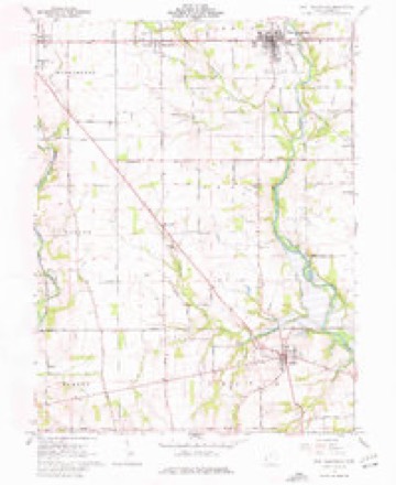
1911 to 1986The same ground, surveyed 75 years apart. Drag the handle to wipe between them. Both sheets are United States Geological Survey originals; neither has been altered.

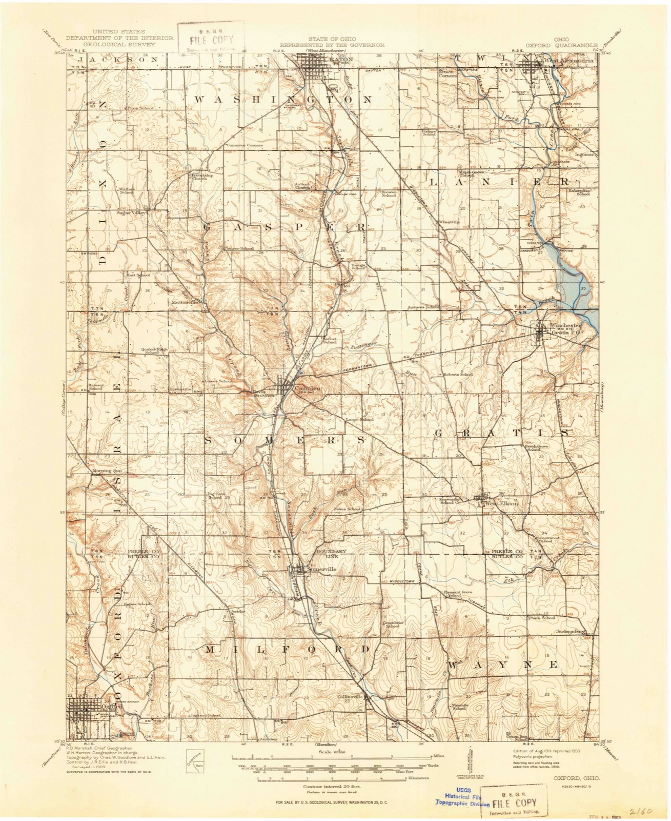
Compare 1911 against another survey:
Topographic sheets covering this place
10 sheetsMatched by testing this settlement's coordinate against the published boundary of every sheet in the United States Geological Survey's historical collection. Each opens the scanned sheet at the Survey.
- 1911 USGS Oxford quadrangle1:62500
- 1953 USGS Cincinnati quadrangle1:250000
- 1953 USGS Cincinnati quadrangle1:250000
- 1953 USGS Cincinnati quadrangle1:250000
- 1957 USGS Cincinnati quadrangle1:250000
- 1961 USGS West Alexandria quadrangle1:24000
- 1961 USGS West Alexandria quadrangle1:24000
- 1961 USGS West Alexandria quadrangle1:24000
- 1986 USGS Dayton quadrangle1:100000
- 1986 USGS Dayton quadrangle1:100000






In the county-history sources
2,967 words on this townshipHistory of Preble County Ohio: Her People, Industries and Institutions, published 1915 names this settlement in its chapter on Lanier Township. These are the passages that mention it, exactly as the scans read.
In 1805 Peter Vanausdal, from Virginia, settled on section 10. About 1806, John Vanausdal, the father of Peter and Cornelius, came and settled in section 10, and with John came his son-in-law, Christian Van Doren, who settled near him. About the year 1805 Jacob Fudge, from Virginia, with his brother David, settled in section 34. In 1808 he was elected the first sheriff of the county and served two terms. It seems, however, that he had small liking for public office, for some four or five years after his term expired one of his friends wished to nominate him in convention for another office, because Fudge's popularity would strengthen the ticket, but Jacob argued with his friend against it, finally agreeing that if the friend would keep still he would give him three quarts of good whisky. Jacob bought the whisky.
Passage source: History of Preble County Ohio: Her People, Industries and Institutions, published 1915.
About 1808 William Campbell came from Kentucky and settled south of West Alexandria, where he started a tannery, which he operated for a number of years. He was the father of John V. Campbell, first probate judge of the county. In the same year Jacob Lesh settled in section 18 and Samuel Mitchell settled in section 29. Henry Young settled on Aukerman creek, northwest of Gratis, in 1809.
Passage source: History of Preble County Ohio: Her People, Industries and Institutions, published 1915.
The township now has nine school houses, but on March 20, 1914, a vote was taken on the questions of centralization of the schools and the issuing of bonds therefor to the amount of fifty-eight thousand dollars. Both questions
Passage source: History of Preble County Ohio: Her People, Industries and Institutions, published 1915.
Machine-read from a century-old scan, so expect the errors a machine makes: misspelled names, dropped words, stray characters.
Read the whole chapter on Lanier Township - it names this place 2 more 2 times.
Specimens collected near this place
12 of 980 shownRegional context, not property-specific evidence. Museums hold 980 specimens collected within 10 miles of Wheatville between 1877 and 1975: 793 Animalia, 152 Fungi, 35 Plantae. 12 distinct Species records are shown. Collected by ?, A.R. Gaufin, H.H. Ross, Arden R. Gaufin and others. Each is a physical object with a catalogue number, and each entry opens the museum's record. This is what was collected and kept, not a survey of what lives here - nothing can be concluded from a species being absent.
| Image | Species | Year | Collected by | Where, as recorded |
|---|---|---|---|---|
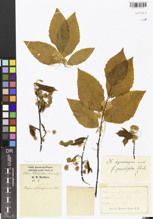 | Fagus grandifolia Ehrh. | 1877 | Matthes,B. | USA, Ohio, Hamilton County, Camden |
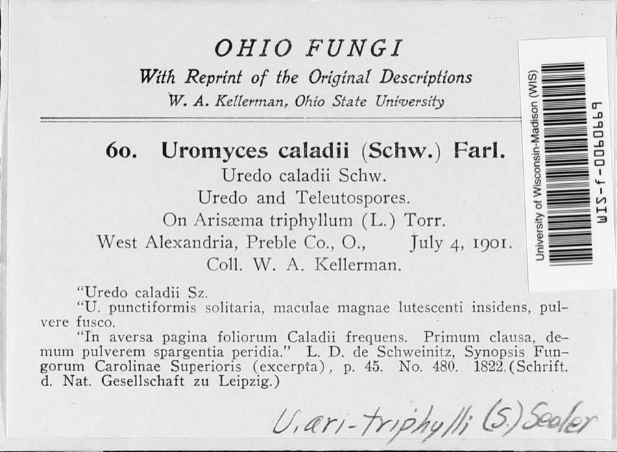 | Uromyces ari-triphylli (Schwein.) Seeler | 1901 | W. A. Kellerman | West Alexandria |
 | Fomes conchatus (Pers.) Gillet | 1917 | Overholts | West Elkton; Base of maple |
 | Uria lomvia lomvia (Linnaeus, 1758) | 1896 | Stewart, R. T. (Robert T.) | Israel Twp, Fairhaven, Preble, Ohio, USA |
 | Phyllosticta Pers., 1818 | 1901 | W. A. Kellerman | |
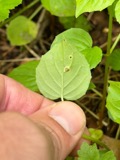 | Puccinia circaeae Pers. | 1901 | W. A. Kellerman | West Alexandria |
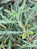 | Septoria oenotherae Westend. | 1901 | W. A. Kellerman | |
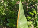 | Uromyces caladii (Schwein.) Farl. | 1901 | W. A. Kellerman | West Alexandria |
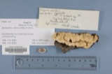 | Polyporus adustus (Willd.) Fr. | 1910 | Overholts L. O. | West Elkton |
 | Polyporus berkeleyi Fr. | 1910 | Overholts L. O. | West Elkton |
 | Polyporus distortus (Schwein.) Fr. | 1910 | Overholts L. O. | West Elkton |
 | Porella platyphylla (L.) Pfeiff. | 1910 | Braun, Lucy E. |
All 980 specimens within 10 miles, at the Global Biodiversity Information Facility.
Mines and quarries near this place
3 within 5 milesRegional context, not property-specific evidence. The federal mineral resources record lists 3 workings within 5 miles of Wheatville: 1 past producer, 1 plant, 1 producer. 2 still produce. What was taken out: Sand and Gravel, Construction. Distance is straight-line from the map coordinates, so a quarry counted here may appear on a neighbouring settlement's page as well.
| Where | Site | Commodity | Status | Recorded |
|---|---|---|---|---|
| Southern Ohio Pit | Sand and Gravel, Construction | Producer | ||
| Stiener Pit | Sand and Gravel, Construction | Past Producer | Sedimentary | |
| Stiener Pit | Sand and Gravel, Construction | Plant |
Nearest settlements
The eight closest, with where each one stands in the county. Distances are straight-line, computed from the Geographic Names Information System coordinates.
| Map | Place | Distance | Sheets |
|---|---|---|---|
| Sampleville | 3.8 miles | 10 | |
| Gratis | 3.8 miles | 10 | |
| Quail Trail | 3.8 miles | 11 | |
| Ransom | 3.9 miles | 10 | |
| Enterprise | 4.1 miles | 10 | |
| Ingomar | 4.4 miles | 11 | |
| West Alexandria | 4.5 miles | 10 | |
| Eaton | 5.0 miles | 11 |
Elsewhere
Matched on this settlement's Geographic Names Information System number rather than its name, so it cannot be a different place of the same name in another state.
| Wikidata item Q22676670 | The structured record the population and elevation above come from. Public domain (CC0). |
Provenance
This settlement is recorded in the Geographic Names Information System as feature 1063089. The sheet list is computed by point-in-boundary test against the United States Geological Survey's historical topographic inventory. Both are works of the United States government and carry no copyright under 17 U.S.C. 105.
Specimens. Global Biodiversity Information Facility (GBIF), https://www.gbif.org/. Only records licensed CC0 or CC BY are used. Records licensed CC BY-NC are excluded because this site carries advertising. Images are checked individually and any whose licence is non-commercial, no-derivatives or unreadable is refused.
Mines and quarries. USGS Mineral Resources Data System (MRDS) https://mrdata.usgs.gov/mrds/ A work of the United States government, no copyright under 17 U.S.C. 105.