 Block
Block
Ridgeway, Ohio
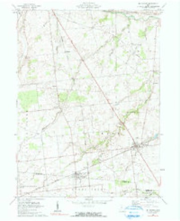
11 topographic sheets cover this place, the earliest surveyed in 1915 and the latest in 1986. It stands in Hale Township. It lies in ZIP code area 43345. The Survey maps it on the Mount Victory quadrangle. 314 people lived here at the 2020 count. It stands 1,060 feet above sea level.
Population over time
2 figuresRidgeway fell from 338 to 314 between 2010 and 2020. These are the recorded population figures Wikidata holds for this place, reached through the Geographic Names Information System number this page is keyed on rather than by name, so they belong to this place and not to another of the same name. Most are census counts, but not all are: an early figure may be a founding or settlement estimate. The change column is computed, and is left blank where more than 20 years separate a figure from the one before it, because a gap that long is not a change between two counts.
| Year | People | Change |
|---|---|---|
| 2010 | 338 | |
| 2020 | 314 | -24 (-7%) |
Then and now
1915 to 1986The same ground, surveyed 71 years apart. Drag the handle to wipe between them. Both sheets are United States Geological Survey originals; neither has been altered.

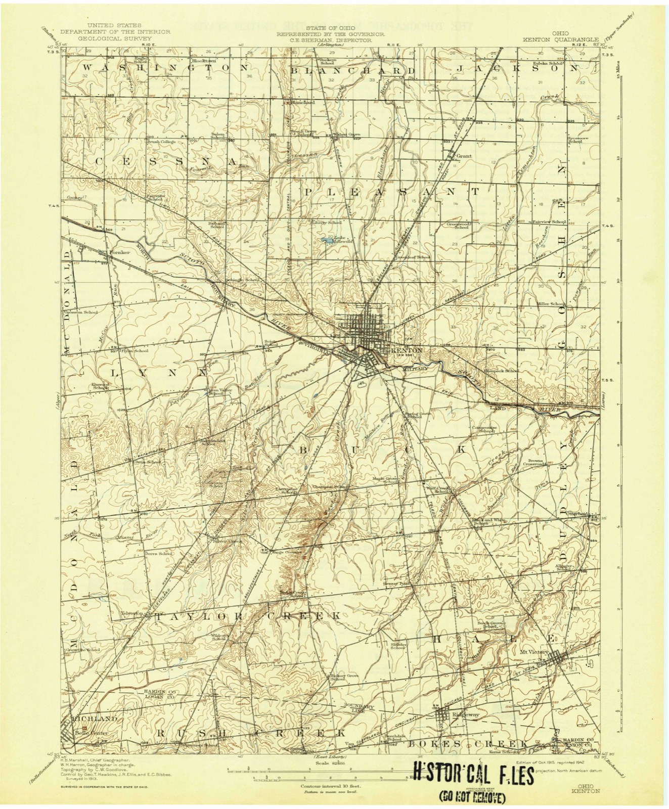
Topographic sheets covering this place
11 sheetsMatched by testing this settlement's coordinate against the published boundary of every sheet in the United States Geological Survey's historical collection. Each opens the scanned sheet at the Survey.
- 1915 USGS Kenton quadrangle1:62500
- 1944 USGS Kenton quadrangle1:62500
- 1950 USGS Marion quadrangle1:250000
- 1961 USGS Mt Victory quadrangle1:24000
- 1961 USGS Mt. Victory quadrangle1:24000
- 1962 USGS Marion quadrangle1:250000
- 1966 USGS Marion quadrangle1:250000
- 1966 USGS Marion quadrangle1:250000
- 1966 USGS Marion quadrangle1:250000
- 1986 USGS Marion quadrangle1:100000
- 1986 USGS Marion quadrangle1:100000







What happened here
An account from the chapter on Hale township, The inset identifies its exact source book and publication year.
Surface Streams, Soil, Timber, Roads, Etc
The surface of this township is considerably varied. Some of the southern and eastern portions, especially east of Panther Creek, is mostly level, except along the Wild Cat Creeks, where it is undulating, and in some few places slightly hilly. The western and northwestern portion is quite undulating, and some places on Panther and Wolf Creeks are really hilly.
In the county-history sources
19,108 words on this townshipThe History of Hardin County, Ohio, published 1883 names this settlement in its chapter on Hale Township. These are the passages that mention it, exactly as the scans read.
The old Indian trail spoken of in the history of Dudley Township passed through the northwest part of Hale Township, leading from the Indian towns in Logan County to their village at Upper Sandusky, and upon this route, Simon Kenton, while a prisoner of their tribe, was taken to Sandusky, and od their way passed through a small Indian village which was said to be the residence of the celebrated chief Logan, and this village, it is believed, was near what is known as " Grassy Point." It is said that when the first settlers came to this section they found a portion of ground at this place cleared of timber, having been cultivated, but which at that time was thickly covered with grass, and hence came its name, " Grassy Point." Another interesting point in the history of Hale Township was first brought to the knowledge of this community while constructing the Bellefontaine & Indiana Railroad through this township. This consisted of a " double mound," or burial place of some pre historic race, and is located nearly midway between Mount Victory and Ridgeway, which was opened for the purpose of obtaining gravel for ballasting a part of said road. But we only intend to allude here to this point of great interest as it will be found fully discussed of in the chapter upon the Mound-Builders, in the general history of the county.
Passage source: The History of Hardin County, Ohio, published 1883.
The principal streams of the township all flow in a northeast course and are tributaries of the Scioto River. In the central-eastern portion of the township are the South and North Wild Cat, which take their rise near the south boundary line of the township and flow northeast into Dudley Township, where they unite and form one stream. The North Wild Cat flows through the south and east part of the village of Mount Victory. Panther Creek rises near Ridgeway by two branches, flowing in a northeast direction and converging into one stream near the center of the township, on the farm of E. S. Butler, thence, continuing its same general course, it flows into Dudley Township. A small stream called Lick Run enters the southwest corner of Hale Township and becomes a tributary of the West Branch of Panther Creek, emptying into the latter on the farm of Moses Kennedy. In the northwest part of the township is Wolf Run, which rises in the Ansley neighborhood, and flows northeast, passing Grassy Point, into Buck Township. These are all small streams, furnishing no water-power, but good water for stock. The soil of the greater portion of the township is of clay and loam formation, with a limestone gravel subsoil, very rich and productive, yet from its capacity to hold water it is naturally very wet and requires thorough draining to be easy of cultivation, and to bring out its full power of productiveness. It is excellent grass land, and hence a line country for stock. It also produces very large yields of corn, wheat and oats, the land that is well tiled and drained yielding probably as large an amount and as line a quality of grain as any township in the county. This township has labored under considerable disadvantage, through large tracts of land in the central and eastern parts of the township being owned by non-residents, which, of course, are but little improved, and hence produce but little; and not only this, but to some extent the improvement of surrounding farms, the building of pikes and the general progress of the country are hindered. This condition of things is also against the growth and prosperity of its towns and villages, limiting the trade and business of the merchants, and, in fact, is generally detrimental to the public good and welfare of the people.
Passage source: The History of Hardin County, Ohio, published 1883.
One advantage this township possesses over the more northerly townships of this county is its abundant supply of gravel for building pikes and constructing good roads Although this township has as yet many bad roads, still it has several excellent pikes, viz., the Mount Victory & Kenton, the Kenton & Ridgeway, Mount Victory & Dudley Township and Mount Victory & Taylor Greek Townships pikes, besides some few cross and connecting pikes, now built and in process of construction. In addition to the tine pikes, this township has one good railroad - the Cleveland, Columbus, Cincinnati & Indianapolis. It was first incorporated, February 25, 1848, as the Bellefontaine & Indianapolis Railroad Company. The road was completed in 1852. This township subscribed $15,000 to the capital stock of the company. The road passes through the center of the township in a diagonal coarse, northeast and southwest, about seven and one half miles of the road being in this township. Situated as this township is, in the extreme southeast corner of the county and remote from the county seat or other railroads, this road has been of great value to the progress and business interests of the people.
Passage source: The History of Hardin County, Ohio, published 1883.
Machine-read from a century-old scan, so expect the errors a machine makes: misspelled names, dropped words, stray characters.
Read the whole chapter on Hale Township - it names this place 21 more 21 times.
Fires near this place
1 since 2002Regional context, not property-specific evidence. The federal wildfire occurrence database lists 1 fire within 5 miles of Ridgeway between 2002 and 2002, burning about 1 acres in total. None started naturally. None was recorded as arson. Distance is straight-line from the map coordinates, so a fire counted here may appear on a neighbouring settlement's page as well.
| Reported cause | Fires |
|---|---|
| Recreation and ceremony | 1 |
The most recent of them, most recent first, with the day each was reported and the service that recorded it.
| Date | Cause | Size | Reported by | Name on the report |
|---|---|---|---|---|
| 31 August 2002 | Recreation and ceremony | 1.0 acres | Ohio State Fire Marshal's Office | not named |
Settlements close enough to share some of these fires:
Specimens collected near this place
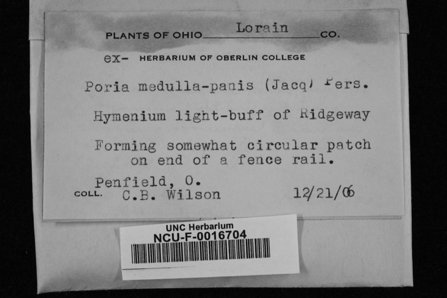
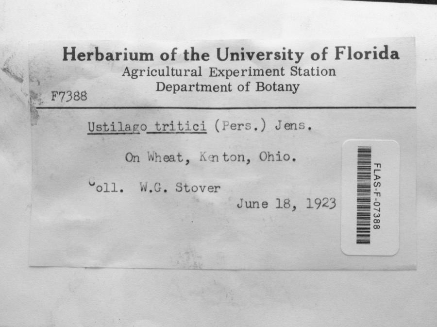
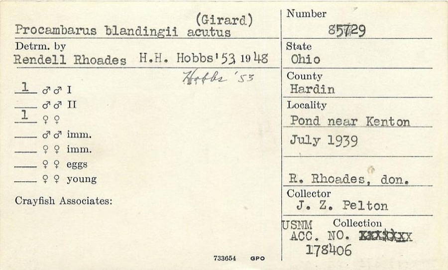
12 of 71 shownRegional context, not property-specific evidence. Museums hold 71 specimens collected within 10 miles of Ridgeway between 1882 and 1970: 51 Animalia, 19 Fungi, 1 Plantae. 12 distinct Species records are shown. Collected by A W SHARER, Angle, E. (Eric), Anson A. Hinkley and others. Each is a physical object with a catalogue number, and each entry opens the museum's record. This is what was collected and kept, not a survey of what lives here - nothing can be concluded from a species being absent.
| Image | Species | Year | Collected by | Where, as recorded |
|---|---|---|---|---|
 | Poria medulla-panis (Jacq.) Cooke | 1906 | Penfield, O.; C. B. Wilson | Ridgeway |
 | Ustilago tritici (Bjerk.) Rostr. | 1923 | W.G. Stover | Kenton |
 | Procambarus blandingii (Harlan, 1830) | 1939 | J. Pelton | Pond near Kenton |
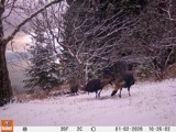 | Meleagris gallopavo silvestris Vieillot, 1817 | 1882 | W.C. Hampton | Mt. Victory |
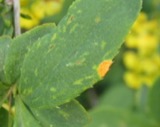 | Puccinia graminis var. phlei-pratensis (Erikss. & Henn.) Stakman & Piem. | 1908 | Clinton; Bird | Mt. Victory |
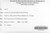 | Guignardia bidwellii (Ellis) Viala & Ravaz | 1910 | Heckathorne H. E. | Kenton |
 | Laestadia bidwellii (Ellis) Viala & Ravaz | 1910 | Heckathorne H. E. | Kenton |
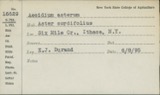 | Puccinia asterum (Schwein.) F.Kern | 1913 | Bartholomew E. | Kenton |
 | Puccinia caricis-solidaginis Arthur | 1913 | E. Bartholomew | Kenton |
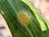 | Puccinia dioicae Magnus | 1913 | Bartholomew, Elam T | Kenton |
 | Puccinia extensicola Plowr. | 1913 | E. Bartholomew | Kenton. |
| Elimia semicarinata (Say, 1829) | 1914 | Anson A. Hinkley | Scioto River, Kenton, near headwaters, North America |
All 71 specimens within 10 miles, at the Global Biodiversity Information Facility.
Storms near this place
6 since 1996Regional context, not property-specific evidence. The National Weather Service names Ridgeway in 6 storm reports between 1996 and 2021: 3 thunderstorm wind, 2 flood, 1 flash flood. No death or injury is recorded in these reports. Each account below is quoted exactly as the forecast office filed it, from the NOAA Storm Events Database, and each date opens the federal record of that event.
| When | Event | Place named | Harm | What the report says |
|---|---|---|---|---|
| August 1996 | Thunderstorm Wind | Ridgeway | $3,000 | no account filed |
| August 2021 | Thunderstorm Wind | Ridgeway | $1,000 | A tree was downed on Township Road 265 west of State Route 31. |
| June 2017 | Thunderstorm Wind | Ridgeway | $1,000 | A tree was down across the road near the intersection of State Route 31 and County Road 190. |
| May 2017 | Flood | Ridgeway | - | Minor street flooding was reported on some county roads southeast of Kenton. |
| June 2017 | Flood | Ridgeway | - | Minor flooding was reported in the eastern part of the county. |
| June 2016 | Flash Flood | Ridgeway | - | State Route 31 was closed at County Road 200 due to high water. Other roads in the county were also closed. |
Nearest settlements
The eight closest, with where each one stands in the county. Distances are straight-line, computed from the Geographic Names Information System coordinates.
| Map | Place | Distance | Sheets |
|---|---|---|---|
| Mount Victory | 3.1 miles | 11 | |
| Grassy Point | 3.2 miles | 11 | |
| Mentzer | 5.7 miles | 11 | |
| Otterbein | 6.0 miles | 11 | |
| Browns Crossroads | 6.6 miles | 11 | |
| Silver Creek | 7.1 miles | 11 | |
| Marshs (historical) | 7.6 miles | 10 | |
| Yelverton | 7.7 miles | 11 |
Elsewhere
Matched on this settlement's Geographic Names Information System number rather than its name, so it cannot be a different place of the same name in another state.
| Wikipedia article on Ridgeway | An encyclopaedic summary. Its text is share-alike, so it is linked here rather than copied. |
| Wikidata item Q2668632 | The structured record the population and elevation above come from. Public domain (CC0). |
Provenance
This settlement is recorded in the Geographic Names Information System as feature 1061606. The sheet list is computed by point-in-boundary test against the United States Geological Survey's historical topographic inventory. Both are works of the United States government and carry no copyright under 17 U.S.C. 105.
Wildfire. Short, Karen C. 2022. Spatial wildfire occurrence data for the United States, 1992-2020 [FPA_FOD_20221014]. 6th Edition. Fort Collins, CO: Forest Service Research Data Archive. https://doi.org/10.2737/RDS-2013-0009.6 Collected with United States Government funding and usable without additional permissions or fees.
Specimens. Global Biodiversity Information Facility (GBIF), https://www.gbif.org/. Only records licensed CC0 or CC BY are used. Records licensed CC BY-NC are excluded because this site carries advertising. Images are checked individually and any whose licence is non-commercial, no-derivatives or unreadable is refused.
Storms. NOAA National Centers for Environmental Information, Storm Events Database https://www.ncei.noaa.gov/stormevents/ A work of the United States government, no copyright under 17 U.S.C. 105. Narratives are quoted verbatim from the National Weather Service report and are not edited or summarised.