 Block
Block
Rockport, Ohio
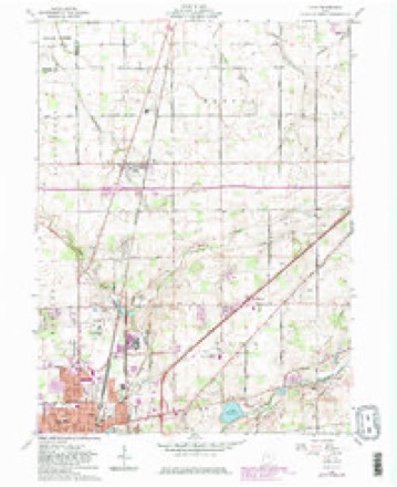
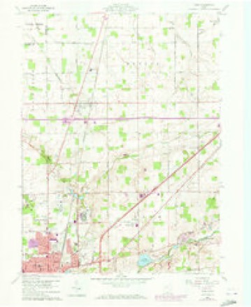
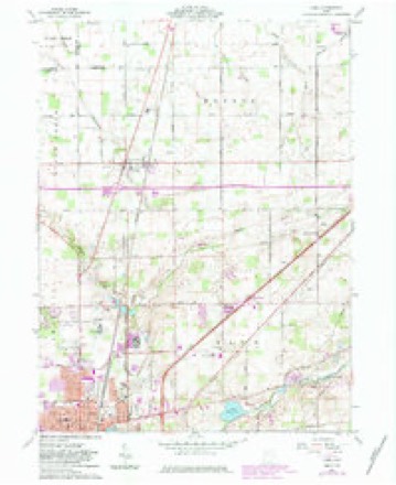
15 topographic sheets cover this place, the earliest surveyed in 1906 and the latest in 1986. It stands in Monroe Township. It lies in ZIP code area 45830. The Survey maps it on the Cairo quadrangle.
Then and now
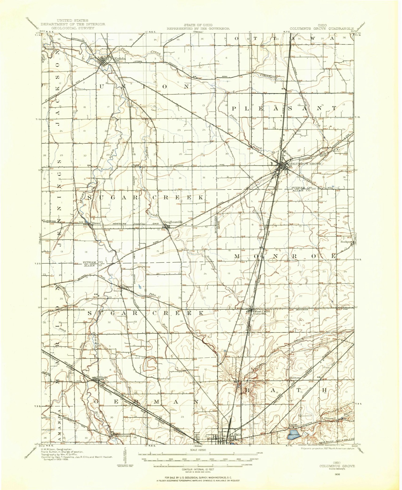
1906 to 1986The same ground, surveyed 80 years apart. Drag the handle to wipe between them. Both sheets are United States Geological Survey originals; neither has been altered.

Topographic sheets covering this place
15 sheetsMatched by testing this settlement's coordinate against the published boundary of every sheet in the United States Geological Survey's historical collection. Each opens the scanned sheet at the Survey.
- 1906 USGS Columbus Grove quadrangle1:62500
- 1908 USGS Columbus Grove quadrangle1:62500
- 1953 USGS Muncie quadrangle1:250000
- 1953 USGS Muncie quadrangle1:250000
- 1953 USGS Muncie quadrangle1:250000
- 1953 USGS Muncie quadrangle1:250000
- 1953 USGS Muncie quadrangle1:250000
- 1956 USGS Muncie quadrangle1:250000
- 1960 USGS Cairo quadrangle1:24000
- 1960 USGS Cairo quadrangle1:24000
- 1960 USGS Cairo quadrangle1:24000
- 1960 USGS Cairo quadrangle1:24000
- 1986 USGS Lima quadrangle1:100000
- 1986 USGS Lima quadrangle1:100000
- 1986 USGS Lima quadrangle1:100000









In the county-history sources
45,665 words on this townshipHistory of Allen County, Ohio, published 1885 names this settlement in its chapter on Monroe Township. These are the passages that mention it, exactly as the scans read.
Township 2 south, Range 7 east was established under the name Monroe, with John Peters, Peter Harpster, and Anthony Early, trustees; Benjamin Parker, clerk, and Luke Tipton, justice of the peace. N. G. Kidd has served as township clerk for many years. In 1848 this portion of Putnam was attached to Allen County.
Passage source: History of Allen County, Ohio, published 1885.
In the chapter entitled Settlement and Occupation, much has been written respecting the first settlers of this township. According to William Rockhill, the first schoolhouse was built in 1834, and the first school taught by N.G. Kidd. The earliest preaching was generally in the logcabins. Preaching frequently was held in the cabin of the Rockhills. Rev. Wesley J. Wells was among the first preachers. He was of the Methodist Episcopal Church. The first milling was on Sugar Creek. It was at a horse mill, owned by Luke Tipton. Some families went to Sidney, some to St. Mary's, and some to Wapakonetta. In those days corn was generally used by all. The first justice of the peace was Hugh Van Meter. In the following pages the names and dates of purchase are given of all who entered the United States lands of the township. This is a valuable addition to history, since it establishes the actual purchase of this portion of the county, not by speculators or absentees, but by men who entered the wilderness with strong hearts and arms, to tame it, as it were, and
Passage source: History of Allen County, Ohio, published 1885.
The village has no debt, but on the contrary, has about $200 in the treasury. The present officers are R. E. Davis, mayor; S. H. Mumau, clerk; J. S. Hall, treasurer; F. M. Sweany, marshal; A. B. Harpster, W. W. Reeder, A. J. McFarland, A. M. Fasig, Alfred Sneider and R. H. Hughes, councilmen. The large brick schoolhouse was erected in 1877, at a cost of about $4,500 (see statistics). There is one hotel kept by J. C. Elliott. The general merchants are R. E. Davis and S. J. Riley; druggists are W. W. Reeder and A. M. Fasig; David Hartzog, postmaster, was succeeded by A. J. McFarland in 1881. The office is in the Davis store, known as the Waltz & Harpster Building, west of the D. & M. depot on Railroad Street. The old Sugar Creek Mill of Daniel Miller, was purchased by D. Hartzog, Peter Schlusser and J. Hall; repurchased in 1872 by Mr. Miller from the former company, who removed the works to Cairo, and erected the Cairo Mills. Miller Brother® took charge of the mill in 1879, after the death of Daniel Miller, and operated it until April 1, 1882, when they rented to M. Graff, next to Johnson & Fletcher, and sold to Hall & Snyder in the fall of 1883. They sold to Ferguson, Ewing & Yant in the spring of 1884. The capacity is forty barrels per day.
Passage source: History of Allen County, Ohio, published 1885.
Machine-read from a century-old scan, so expect the errors a machine makes: misspelled names, dropped words, stray characters.
Read the whole chapter on Monroe Township - it names this place 1 more 1 time.
Specimens collected near this place
12 of 118 shownRegional context, not property-specific evidence. Museums hold 118 specimens collected within 10 miles of Rockport between 1893 and 1974: 116 Animalia, 1 Plantae, 1 Fungi. 12 distinct Species records are shown. Collected by Adler, K. K., Amstutz, K., Bezdek, H. and others. Each is a physical object with a catalogue number, and each entry opens the museum's record. This is what was collected and kept, not a survey of what lives here - nothing can be concluded from a species being absent.
| Image | Species | Year | Collected by | Where, as recorded |
|---|---|---|---|---|
 | Mycena corticalis A.H.Sm. | 1941 | L. O. Gratz | Bluffton |
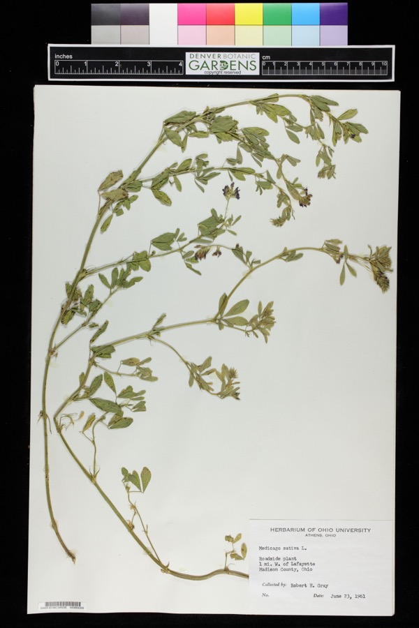 | Medicago sativa L. | 1961 | Robert H. Gray | 1 mile west of Lafayette. |
 | Chrysemys picta (Schneider, 1783) | 1893 | not recorded | Cloverdale, Sugar Creek |
 | Etheostoma spectabile (Agassiz, 1854) | 1893 | PH Kirsch | Sugar Creek, 2 miles north of Lima; Maumee River dr. |
 | Lepomis cyanellus Rafinesque, 1819 | 1893 | P. Kirsch | Lost Creek, Lima, Ohio |
 | Lithobates pipiens (Schreber, 1782) | 1893 | not recorded | Lima, Sugar Creek |
 | Nerodia sipedon (Linnaeus, 1758) | 1893 | not recorded | Lima, Sugar Creek |
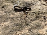 | Regina septemvittata (Say, 1825) | 1893 | not recorded | Lima, Sugar Creek |
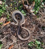 | Thamnophis sirtalis (Linnaeus, 1758) | 1893 | not recorded | Lima, Sugar Creek |
| Pteromalidae | 1921 | Huber | ||
 | Ambloplites rupestris (Rafinesque, 1817) | 1930 | Trautman, M. B. (Milton Bernard) & Foster, R. (Robert) | Ottawa River, within central Jackson township, near Lafayette, Jackson township |
 | Etheostoma nigrum Rafinesque, 1820 | 1930 | Trautman, M. B. (Milton Bernard) & Foster, R. (Robert) | Ottawa River, within central Jackson township, near Lafayette, Jackson township |
All 118 specimens within 10 miles, at the Global Biodiversity Information Facility.
Mines and quarries near this place
2 within 5 milesRegional context, not property-specific evidence. The federal mineral resources record lists 2 workings within 5 miles of Rockport: 1 past producer, 1 producer. 1 still produces. What was taken out: Sand and Gravel, Construction. Distance is straight-line from the map coordinates, so a quarry counted here may appear on a neighbouring settlement's page as well.
| Where | Site | Commodity | Status | Recorded |
|---|---|---|---|---|
| Rockport S&G Co. Pit | Sand and Gravel, Construction | Past Producer | ||
| Rockport Sand & Gravel Co Pit | Sand and Gravel, Construction | Producer |
Storms near this place
1 since 2022Regional context, not property-specific evidence. The National Weather Service names Rockport in 1 storm report between 2022 and 2022: 1 thunderstorm wind. No death or injury is recorded in these reports. Each account below is quoted exactly as the forecast office filed it, from the NOAA Storm Events Database, and each date opens the federal record of that event.
| When | Event | Place named | Harm | What the report says |
|---|---|---|---|---|
| June 2022 | Thunderstorm Wind | Rockport | - | A mesonet station near Rockport recorded a 62 mph wind gust. |
Nearest settlements
The eight closest, with where each one stands in the county. Distances are straight-line, computed from the Geographic Names Information System coordinates.
| Map | Place | Distance | Sheets |
|---|---|---|---|
| Beaverdam | 3.0 miles | 13 | |
| Beaver Dam Station | 3.0 miles | 13 | |
| West Cairo | 5.1 miles | 15 | |
| Cairo | 5.3 miles | 15 | |
| Bluffton | 6.1 miles | 14 | |
| Slabtown | 6.4 miles | 15 | |
| Lafayette | 8.2 miles | 13 | |
| Country Estates | 9.9 miles | 15 |
Elsewhere
Matched on this settlement's Geographic Names Information System number rather than its name, so it cannot be a different place of the same name in another state.
| Wikipedia article on Rockport | An encyclopaedic summary. Its text is share-alike, so it is linked here rather than copied. |
| Wikidata item Q22134189 | The structured record the population and elevation above come from. Public domain (CC0). |
Provenance
This settlement is recorded in the Geographic Names Information System as feature 1061625. The sheet list is computed by point-in-boundary test against the United States Geological Survey's historical topographic inventory. Both are works of the United States government and carry no copyright under 17 U.S.C. 105.
Specimens. Global Biodiversity Information Facility (GBIF), https://www.gbif.org/. Only records licensed CC0 or CC BY are used. Records licensed CC BY-NC are excluded because this site carries advertising. Images are checked individually and any whose licence is non-commercial, no-derivatives or unreadable is refused.
Mines and quarries. USGS Mineral Resources Data System (MRDS) https://mrdata.usgs.gov/mrds/ A work of the United States government, no copyright under 17 U.S.C. 105.
Storms. NOAA National Centers for Environmental Information, Storm Events Database https://www.ncei.noaa.gov/stormevents/ A work of the United States government, no copyright under 17 U.S.C. 105. Narratives are quoted verbatim from the National Weather Service report and are not edited or summarised.