 Block
Block
Royalton, Ohio
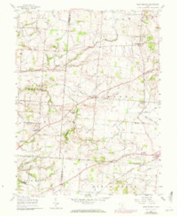
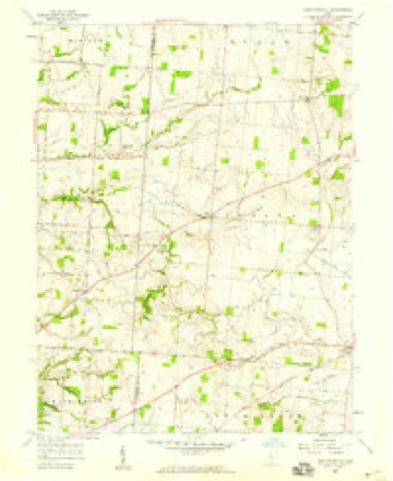
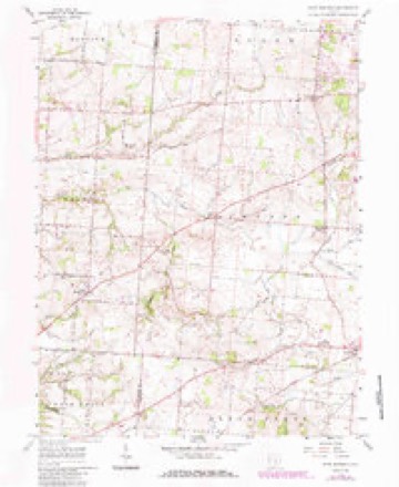
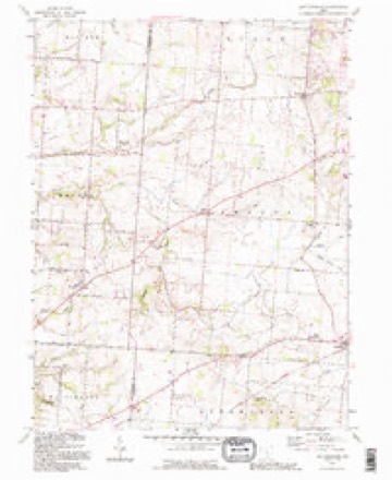
12 topographic sheets cover this place, the earliest surveyed in 1914 and the latest in 1992. It stands in Amanda Township. It lies in ZIP code area 43130. It stands on Toby Creek. The Survey maps it on the East Ringgold quadrangle.
Then and now
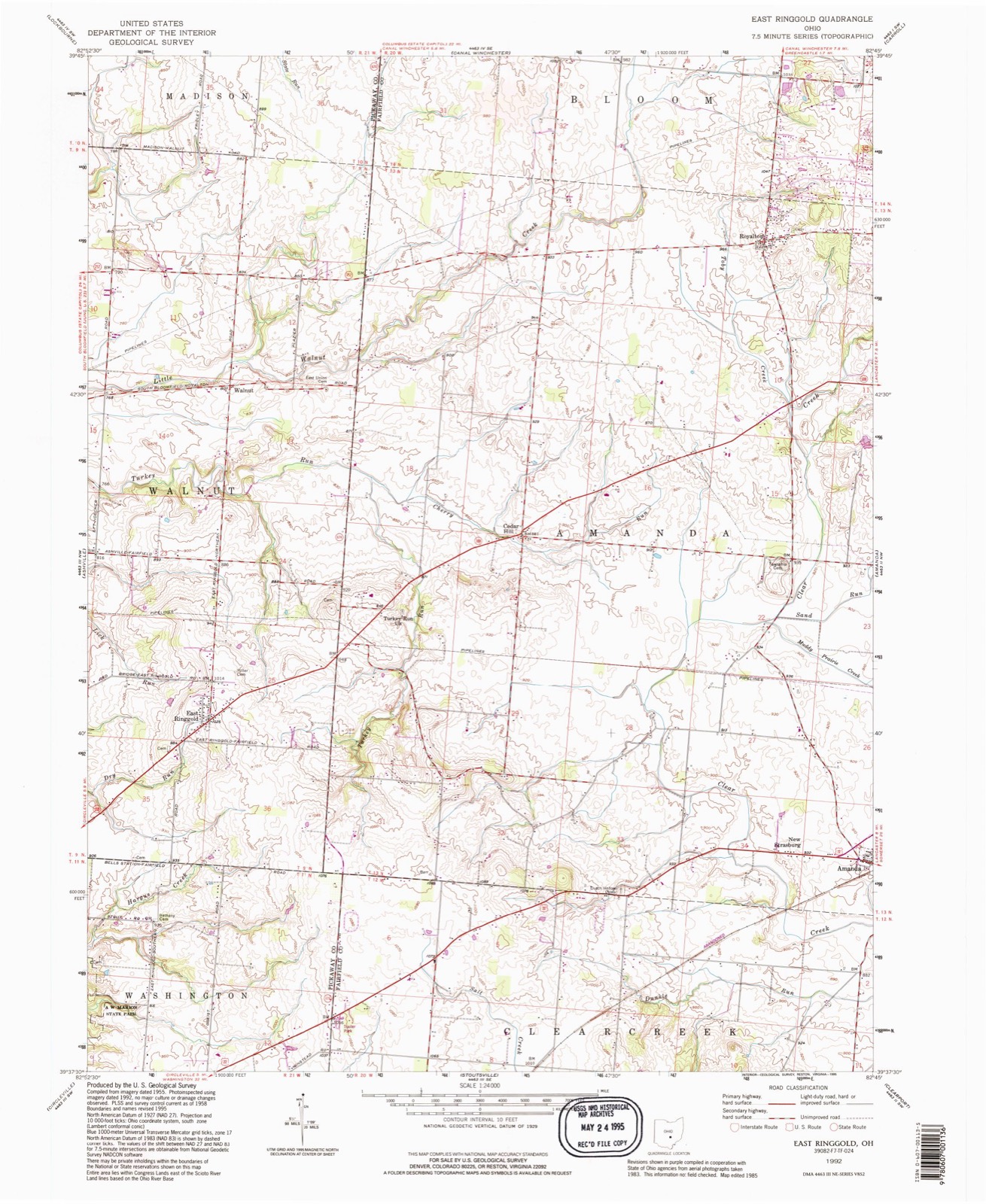
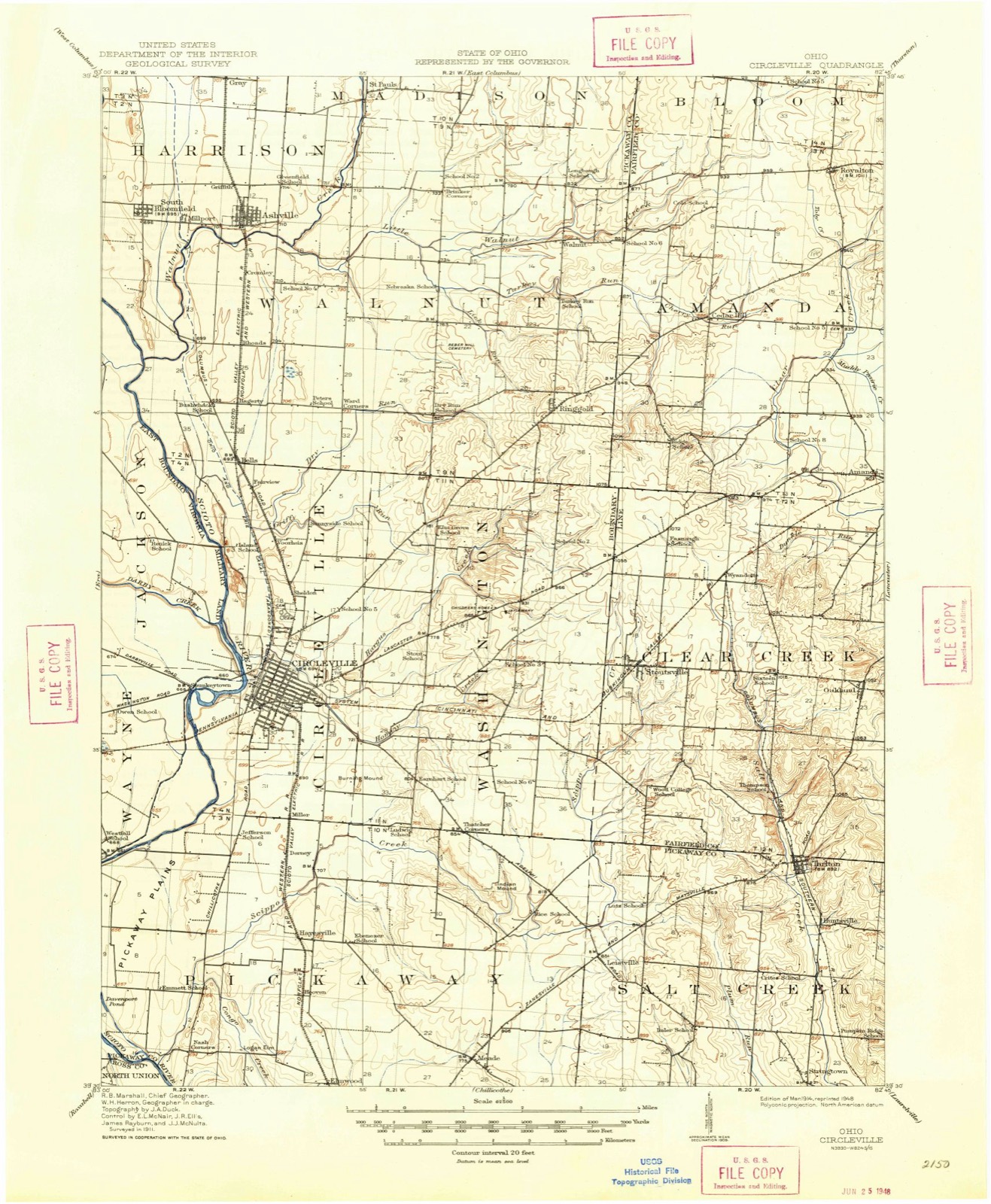
1914 to 1992The same ground, surveyed 78 years apart. Drag the handle to wipe between them. Both sheets are United States Geological Survey originals; neither has been altered.
Compare 1914 against another survey:
Topographic sheets covering this place
12 sheetsMatched by testing this settlement's coordinate against the published boundary of every sheet in the United States Geological Survey's historical collection. Each opens the scanned sheet at the Survey.
- 1914 USGS Circleville quadrangle1:62500
- 1943 USGS Circleville quadrangle1:62500
- 1947 USGS Columbus quadrangle1:250000
- 1958 USGS East Ringgold quadrangle1:24000
- 1958 USGS East Ringgold quadrangle1:24000
- 1958 USGS East Ringgold quadrangle1:24000
- 1961 USGS Columbus quadrangle1:250000
- 1962 USGS Columbus quadrangle1:250000
- 1967 USGS Columbus quadrangle1:250000
- 1967 USGS Columbus quadrangle1:250000
- 1984 USGS Lancaster quadrangle1:100000
- 1992 USGS East Ringgold quadrangle1:24000






In the county-history sources
15,419 words on this townshipA Complete History of Fairfield County, Ohio, published 1877 names this settlement in its chapter on Amanda Township. These are the passages that mention it, exactly as the scans read.
Amanda lies immediately north of Clear Creek. It is commonly understood that the name was given by William Hamilton, who was the first County Surveyor of Fairfield. It contains the villages of Amanda and Royalton. Amanda is eight miles west of Lancaster, on the Cincinnati Railroad. Its first proprietor was Samuel Kester, and its beginning was about 1830. Royalton is six or seven miles north of Amanda. It is a small village, and was known as Toby Town at the beginning of the settlements.
Passage source: A Complete History of Fairfield County, Ohio, published 1877.
In the spring of 1800, three men, names not remembered, came from near Chillicothe and broke ground on the prairie in section number 4, planted corn, and then returned home. They came back in due time and tended their corn twice. The next fall one of these men sold his share to Horatio Clark, receiving a horse in payment. The other two likewise disposed of their shares to parties not now remembered. In November of the same year, Wilkinson Lane, of Huntingdon County, Tennessee, settled on section 8, and was succeeded in the month of June following by Thomas Cole, my grandfather, who had entered the sertion. His grandchildren still own one half of the section. The family were never troubled bj' the Indians. In a few years my grandfather built a school-house on his land, hired a teacher, Abraham Cole, for eight dollars a month, and then invited all who wished to send their children and pay a pro rata share, or not, as they could or would. In those days school hours were from " sun to sun, " or as soon as scholars ari^^ved. On one occasion, my father. Broad Cole, (born in 1802), thought of " beating the master to school," some day, and, after a few failures to do so, left home one morning about day-break ; but, on arriving at the school-house, he was greeted with a good fire, and found the master, a Mr. Smith, banking up dirt against the school-house to protect against cold. That house was built on the north part of section 18. David Svvope and William Long were settlers on section 8, in June, 1807. In 1800, Dr. Silas Allen bought and settled on section number 3, building a house on the crest of a hill, near the western line of said section, and fronting a prairie on the west, in section number 4. His purchase -consisted of about five hundred acres. At that time there was not the mark of an ax from Lancaster to his house. Said section was soon given to his four sons - Whiting, Lemuel, Jedediah and Benjamin Allen. Lemuel and Jedediah gave ground for a village, and about 1810 William Hamilton, then living on section 22, surveyed and laid out the village of Royalton, about one mile south-east of Toby Town. For some years it went by the name of Toby Town, generally, but by the Allen family it was called Royalton, after a village in Vermont, from whence they came. Elvira Allen, now Mrs.
Passage source: A Complete History of Fairfield County, Ohio, published 1877.
The first schools in Royalton were tauglit by Warren Case and his sister Sabre, in 1810; and by Henry Calhoon, in 1812. The Rev. Dr. Hoag, (late of Columbus) a Presbyterian, preached in Lemuel Allen's house, in Royalton, as early as 1810. About the same time the first tavern was opened there by Lemuel Allen, as also the first store by Jacob Rush. In about 1814, the Methodists organized a society there, and their first preacher is supposed to have been Isaac Quinn.
Passage source: A Complete History of Fairfield County, Ohio, published 1877.
Machine-read from a century-old scan, so expect the errors a machine makes: misspelled names, dropped words, stray characters.
Read the whole chapter on Amanda Township - it names this place 3 more 3 times.
Fires near this place
1 since 2019Regional context, not property-specific evidence. The federal wildfire occurrence database lists 1 fire within 5 miles of Royalton between 2019 and 2019, burning about 10 acres in total. None started naturally. None was recorded as arson. Distance is straight-line from the map coordinates, so a fire counted here may appear on a neighbouring settlement's page as well.
| Reported cause | Fires |
|---|---|
| Debris and open burning | 1 |
The most recent of them, most recent first, with the day each was reported and the service that recorded it.
| Date | Cause | Size | Reported by | Name on the report |
|---|---|---|---|---|
| 15 October 2019 | Debris and open burning | 10 acres | Ohio Department of Natural Resources | 15349 |
Settlements close enough to share some of these fires:
Specimens collected near this place
12 of 2,226 shownRegional context, not property-specific evidence. Museums hold 2,226 specimens collected within 10 miles of Royalton between 1843 and 1975: 1,740 Animalia, 393 Fungi, 84 Plantae, 6 Protozoa, 2 Chromista, 1 Unrecorded. 12 distinct Species records are shown. Collected by Asa Gray; W. S. Sullivant, Bales, B. R., Birch, W. and others. Each is a physical object with a catalogue number, and each entry opens the museum's record. This is what was collected and kept, not a survey of what lives here - nothing can be concluded from a species being absent.
| Image | Species | Year | Collected by | Where, as recorded |
|---|---|---|---|---|
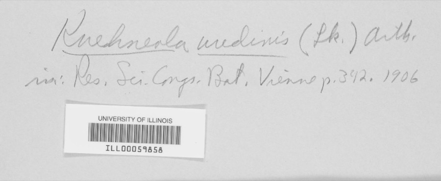 | Kuehneola uredinis (Link) Arthur | 1891 | Freda Detmers | Rock Mill |
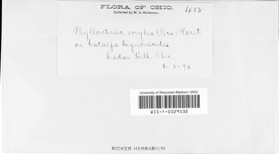 | Phyllactinia corylea (Pers.) P.Karst. | 1892 | W.A. Kellerman | |
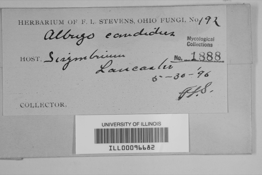 | Albugo candida (Pers. ex J.F.Gmel.) Roussel | 1896 | F.L. Stevens | Lancaster |
 | Bryoxiphium norvegicum (Brid.) Mitt. | 1843 | Asa Gray; W. S. Sullivant | near Lancaster |
 | Phyllogonium norvegicum Brid. | 1843 | Gray, A.; W. S. Sullivant | near Lancaster |
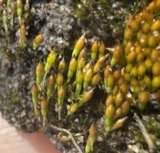 | Bruchia flexuosa (Schwägr.) Müll.Hal. | 1849 | C. L. Lesquereux | Lancaster |
 | Dicranodontium denudatum (Brid.) E.Britton | 1849 | C. L. Lesquereux | |
 | Dicranum condensatum Hedw. | 1849 | C. L. Lesquereux | Lancaster |
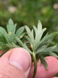 | Aecidium Pers. | 1883 | W. A. Kellerman | |
| Aecidium cimicifugatum (Schwein.) Sacc. | 1883 | W. A. Kellerman | Near Amanda | |
| Aecidium compositarum Mart. | 1883 | W. A. Kellerman | ||
| Aecidium galii Pers. | 1883 | Kellerman, W.A. | Amanda |
All 2,226 specimens within 10 miles, at the Global Biodiversity Information Facility.
Mines and quarries near this place
2 within 5 milesRegional context, not property-specific evidence. The federal mineral resources record lists 2 workings within 5 miles of Royalton: 1 producer, 1 past producer. 1 still produces. What was taken out: Sand and Gravel, Construction. Distance is straight-line from the map coordinates, so a quarry counted here may appear on a neighbouring settlement's page as well.
| Where | Site | Commodity | Status | Recorded |
|---|---|---|---|---|
| Davis Sand and Gravel Pit | Sand and Gravel, Construction | Past Producer | ||
| Favil Pit | Sand and Gravel, Construction | Producer |
Storms near this place
8 since 1997Regional context, not property-specific evidence. The National Weather Service names Royalton in 8 storm reports between 1997 and 2026: 5 thunderstorm wind, 2 hail, 1 flood. No death or injury is recorded in these reports. Each account below is quoted exactly as the forecast office filed it, from the NOAA Storm Events Database, and each date opens the federal record of that event.
| When | Event | Place named | Harm | What the report says |
|---|---|---|---|---|
| May 2022 | Thunderstorm Wind | Royalton | $10,000 | Several trees and power lines were downed near the corner of State Routes 674 and 752. |
| May 2022 | Thunderstorm Wind | Royalton | $8,000 | A barn and a silo were damaged along State Route 674. |
| November 2005 | Thunderstorm Wind | Royalton | $5,000 | Large limbs were downed, and shingles were pulled off a few homes. |
| January 1997 | Thunderstorm Wind | Royalton | $5,000 | no account filed |
| August 2018 | Thunderstorm Wind | Royalton | $1,000 | One tree was knocked down. |
| May 2006 | Flood | Royalton | - | Royalton Road was flooded. |
| March 2026 | Hail | Royalton | - | no account filed |
| May 2006 | Hail | Royalton | - | no account filed |
Nearest settlements
The eight closest, with where each one stands in the county. Distances are straight-line, computed from the Geographic Names Information System coordinates.
| Map | Place | Distance | Sheets |
|---|---|---|---|
| Wesley Chapel | 2.2 miles | 12 | |
| Fairfield Farms | 2.7 miles | 16 | |
| Slate Ridge Estates | 3.1 miles | 16 | |
| Greencastle | 3.2 miles | 16 | |
| Rock Mill | 3.2 miles | 12 | |
| Cedar Hill | 3.3 miles | 12 | |
| Cedar Creek | 4.0 miles | 16 | |
| Slough | 5.0 miles | 16 |
Provenance
This settlement is recorded in the Geographic Names Information System as feature 1065253. The sheet list is computed by point-in-boundary test against the United States Geological Survey's historical topographic inventory. Both are works of the United States government and carry no copyright under 17 U.S.C. 105.
Wildfire. Short, Karen C. 2022. Spatial wildfire occurrence data for the United States, 1992-2020 [FPA_FOD_20221014]. 6th Edition. Fort Collins, CO: Forest Service Research Data Archive. https://doi.org/10.2737/RDS-2013-0009.6 Collected with United States Government funding and usable without additional permissions or fees.
Specimens. Global Biodiversity Information Facility (GBIF), https://www.gbif.org/. Only records licensed CC0 or CC BY are used. Records licensed CC BY-NC are excluded because this site carries advertising. Images are checked individually and any whose licence is non-commercial, no-derivatives or unreadable is refused.
Mines and quarries. USGS Mineral Resources Data System (MRDS) https://mrdata.usgs.gov/mrds/ A work of the United States government, no copyright under 17 U.S.C. 105.
Storms. NOAA National Centers for Environmental Information, Storm Events Database https://www.ncei.noaa.gov/stormevents/ A work of the United States government, no copyright under 17 U.S.C. 105. Narratives are quoted verbatim from the National Weather Service report and are not edited or summarised.