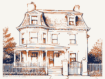
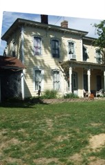
Listed on the National Register of Historic Places in
1975. A historic map-sheet match is not published yet. The record needs a coordinate-quality review before it can be joined to a sheet boundary.
From the record
“In the spring of 1800, three men, names not remembered, came from near Chillicothe and broke ground on the prairie in section number 4, planted corn, and then returned home. They came back in due time and tended their corn twice.”
A Complete History of Fairfield County, Ohio (1877). Machine-read text.
one of 29 National Register listings in Fairfield County · listed in 1975 · category: Building · one of 1 National Historic Landmarks in Fairfield County.
National Register reference number.75001396- the number the National Park Service assigned this property when it was listed, and the key its nomination file is catalogued under at the National Archives.
Amanda lies immediately north of Clear Creek. It is commonly understood that the name was given by William Hamilton, who was the first County Surveyor of Fairfield. It contains the villages of Amanda and Royalton. Amanda is eight miles west of Lancaster, on the Cincinnati Railroad. Its first proprietor was Samuel Kester, and its beginning was about 1830. Royalton is six or seven miles north of Amanda. It is a small village, and was known as Toby Town at the beginning of the settlements.
In the spring of 1800, three men, names not remembered, came from near Chillicothe and broke ground on the prairie in section number 4, planted corn, and then returned home. They came back in due time and tended their corn twice. The next fall one of these men sold his share to Horatio Clark, receiving a horse in payment. The other two likewise disposed of their shares to parties not now remembered. In November of the same year, Wilkinson Lane, of Huntingdon County, Tennessee, settled on section 8, and was succeeded in the month of June following by Thomas Cole, my grandfather, who had entered the sertion. His grandchildren still own one half of the section. The family were never troubled bj' the Indians. In a few years my grandfather built a school-house on his land, hired a teacher, Abraham Cole, for eight dollars a month, and then invited all who wished to send their children and pay a pro rata share, or not, as they could or would. In those days school hours were from " sun to sun, " or as soon as scholars ari^^ved. On one occasion, my father. Broad Cole, (born in 1802), thought of " beating the master to school," some day, and, after a few failures to do so, left home one morning about day-break ; but, on arriving at the school-house, he was greeted with a good fire, and found the master, a Mr. Smith, banking up dirt against the school-house to protect against cold. That house was built on the north part of section 18. David Svvope and William Long were settlers on section 8, in June, 1807. In 1800, Dr. Silas Allen bought and settled on section number 3, building a house on the crest of a hill, near the western line of said section, and fronting a prairie on the west, in section number 4. His purchase -consisted of about five hundred acres. At that time there was not the mark of an ax from Lancaster to his house. Said section was soon given to his four sons - Whiting, Lemuel, Jedediah and Benjamin Allen. Lemuel and Jedediah gave ground for a village, and about 1810 William Hamilton, then living on section 22, surveyed and laid out the village of Royalton, about one mile south-east of Toby Town. For some years it went by the name of Toby Town, generally, but by the Allen family it was called Royalton, after a village in Vermont, from whence they came. Elvira Allen, now Mrs.
Regional context, not property-specific
evidence. The
federal wildfire occurrence database
lists 1 fire within 5 miles of Royalton House between
2019 and 2019, burning about 10 acres in total. None started naturally. None was recorded as arson.
Distance is straight-line from the map coordinates, so a fire counted
here may appear on a neighbouring settlement's page as well.
Reported cause
Fires
Debris and open burning
1
The most recent of
them, most recent first, with the day each was reported and the service
that recorded it.
Regional context, not property-specific
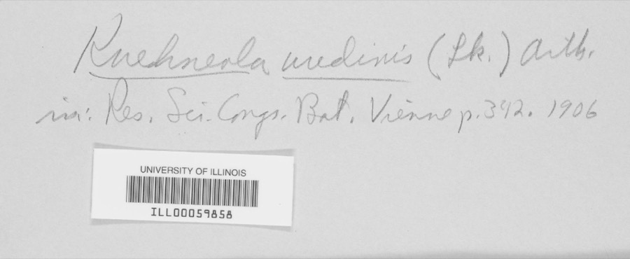
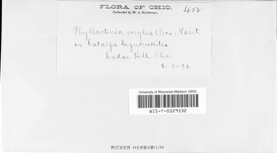
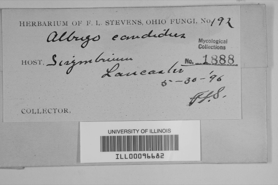
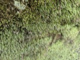
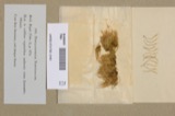
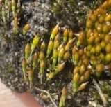
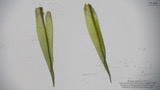
evidence. Museums hold 2,226 specimens
collected within 10 miles of Royalton House between 1843 and
1975: 1,740 Animalia, 393 Fungi, 84 Plantae, 6 Protozoa, 2 Chromista, 1 Unrecorded. 12 distinct Species records are shown.
Collected by Asa Gray; W. S. Sullivant, Bales, B. R., Birch, W. and others. Each is a
physical object with a catalogue
number, and each entry opens the museum's record. This is what was
collected and kept, not a survey of what lives here - nothing can be
concluded from a species being absent.
Regional context, not property-specific
evidence. The federal mineral resources record lists
2 workings within 5 miles of Royalton House: 1 producer, 1 past producer.
1 still produces. What was taken out: Sand and Gravel, Construction. Distance is straight-line from the
map coordinates, so a quarry counted here may appear on a neighbouring
settlement's page as well.
Regional context, not property-specific
evidence. The National Weather Service names
Royalton, the town this property stands in, in 8 storm reports between 1997 and 2026: 5 thunderstorm wind, 2 hail, 1 flood.
No death or injury is recorded in these reports. Each account below is quoted exactly as the forecast office
filed it, from the NOAA Storm Events Database, and each date
opens the federal record of that event.
No historic map-sheet match is published
for this property yet. That does not mean no map exists. This record needs
a coordinate-quality review before it can be joined to a sheet boundary.
Browse the county's mapped places while that work is
pending.
From the nomination file
2,406 words on record
When this property was proposed for the
National Register, someone wrote the case for it: what the building is,
and why it matters. That document is a federal record in the public domain.
It is quoted below word for word, never summarised. The text was read off the scanned case file by machine, so the
occasional stray character is the recogniser's and the 1970s
typewriter's.
Description of the property
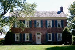
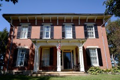
in plan, the house is proportionally excellent. It has four rooms, each 18' x 14', a house. The center entrance has a paneled door and a rectangular transom and plain stone lintel. Windows have stone lintels and sills and,originally, all had 9/6 The rear kitchen ell, extending from the northwest corner of the house, has been above the hallway doors features elongated sunbursts, medallions and urns. The large, finely proportioned mantel with pilasters, carved with delicate dentils and one paneled cupboard from floor to ceiling on the left of the chimney. The kitchen still has its original cooking fireplace with opening 6' x 4-1/2'.
seen how the curved wall was achieved for the spiral stairway, and how the split CONDITION UNEXPOSED DESCRIPTION DETERIORATED UNALTERED XALTERED Corinthian style columns across the front and two matching pilasters against the CHECK ONE XFAIR mantel.The attic is a contrast to the fineness of the rooms below.Rafters, doors all over the house are eight panel.The focal point of the parlor is a rather The high mantel is intact as are the two floor to ceiling paneled cupboards on both spiral stairway is a window with curved jambs with carved detail.Carved decoration hickory lath was curved for the plaster.The cellar under the front rooms and The interior of this house is quite lovely.The center hall has a delicate spiral cornices are not used.The dining room is less elaborate than the parlor but has -EXCELLENT kitchen ell portion are on a stone foundation.
gable ends.The south side of the house has four windows (two per floor)and the north hall has heavy hewn joists and the hall assembly may be seen. -RUINS _GOOD side has two, placed toward the front (one per floor).
outstanding for its fine interior and proportion, built by a master craftsman. The house was built in 1817 for John Huber by John Leist and is likely the Leist was an outstanding artist, woodcarver, stonecarver, architect, and Legislature, an early Justice of the Peace, and a canal commissioner for 1827, the final one as his own home. In 1815 Mr. Huber purchased lot #51 in Royalton for $40.
In 1817 John Leist house was built on the wrong lot, a matter which was corrected by purchasing 1817 1400-1499 1700-1799 1600-1699 INVENTION ART 1900- BUILDER/ARCHITECT ARCHEOLOGY-HISTORIC COMMUNICATIONS ECONOMICS EDUCATION PREHISTORIC PERIOD THEATER AGRICULTURE MILITARY SCULPTURE POLITICS/GOVERNMENT SIGNIFICANCE SCIENCE LAW XARCHITECTURE INDUSTRY _EXPLORATION/SETTLEMENT MUSIC _TRANSPORTATION LITERATURE builder.The interiors of his houses are particularly fine in their refined _PHILOSOPHY _1500-1599 the lot on which the house was built for $20.A cabinet shop and embalming John Leist - CONSERVATION The Royalton is an excellent example of a pioneer home, small in size and _ENGINEERING _COMMERCE -RELIGION He was a captain in the field in the War of 18l2,a member of the Ohio COMMUNITY PLANNING detail.
Leist was born in Northampton County, Pa. in 1784 and settled in Several years later, in 1830, it was discovered that the Homrighouse, an undertaker whose family occupied the house from 1853 to 1940. Clear Creek Township in 1807 where he became one of the most prominent men. ARCHEOLUGY-PREHISTORIC completed this house. first of the four outstanding homes built by Leist in Fairfield County. twenty-two years.The few homes he built were completed between 18l7 and
Quoted from the National Register nomination
for reference 75001396, 17 pages, held by the National Archives in Record
Group 79. See the
catalogue record.
Listed places nearby
6 within 8 miles
Other National Register properties close
enough to walk or drive between, ordered by distance from this one. Both
positions come from the same geocoding pass that matched these properties
to their map sheets.
Listing record. National Park Service National Register of Historic Places, listed-properties dataset, current to 2026-05-22.
Map join. Address geocoded through the United States Census geocoder, then tested against the published boundary of every sheet in the USGS Historical Topographic Map Collection.
How this page is made. Listing fields come from federal records; map-sheet coverage is a labelled coordinate-to-boundary calculation, not a source-field claim.
Wildfire. Short, Karen C. 2022. Spatial wildfire occurrence data for the United States, 1992-2020 [FPA_FOD_20221014]. 6th Edition. Fort Collins, CO: Forest Service Research Data Archive. https://doi.org/10.2737/RDS-2013-0009.6 Collected with United States Government funding and usable without additional permissions or fees.
Specimens. Global Biodiversity Information Facility (GBIF), https://www.gbif.org/. Only records licensed CC0 or CC BY are used. Records licensed CC BY-NC are excluded because this site carries advertising. Images are checked individually and any whose licence is non-commercial, no-derivatives or unreadable is refused.
Mines and quarries. USGS Mineral Resources Data System (MRDS) https://mrdata.usgs.gov/mrds/ A work of the United States government, no copyright under 17 U.S.C. 105.
Storms. NOAA National Centers for Environmental Information, Storm Events Database https://www.ncei.noaa.gov/stormevents/ A work of the United States government, no copyright under 17 U.S.C. 105. Narratives are quoted verbatim from the National Weather Service report and are not edited or summarised.
 Block
Block