 Block
Block
Scotland, Ohio
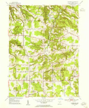
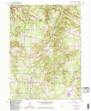
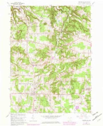
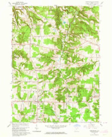
13 topographic sheets cover this place, the earliest surveyed in 1905 and the latest in 1994. It stands in Chester Township. It lies in ZIP code area 44026. The Survey maps it on the Chesterland quadrangle.
Then and now
1905 to 1994The same ground, surveyed 89 years apart. Drag the handle to wipe between them. Both sheets are United States Geological Survey originals; neither has been altered.
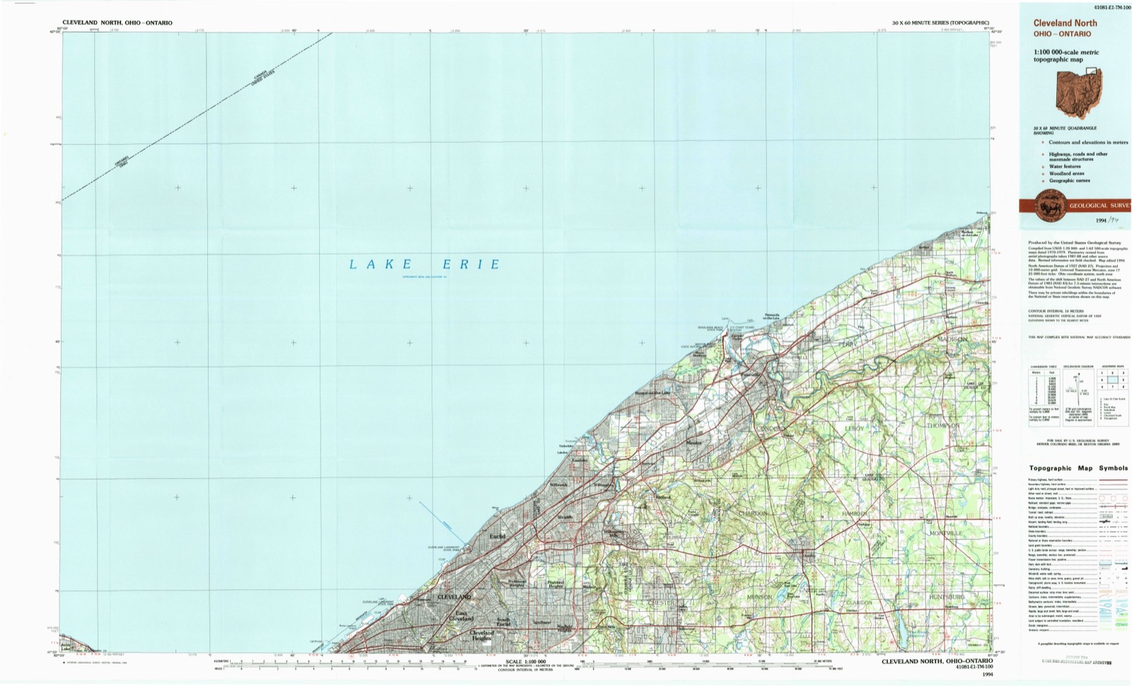
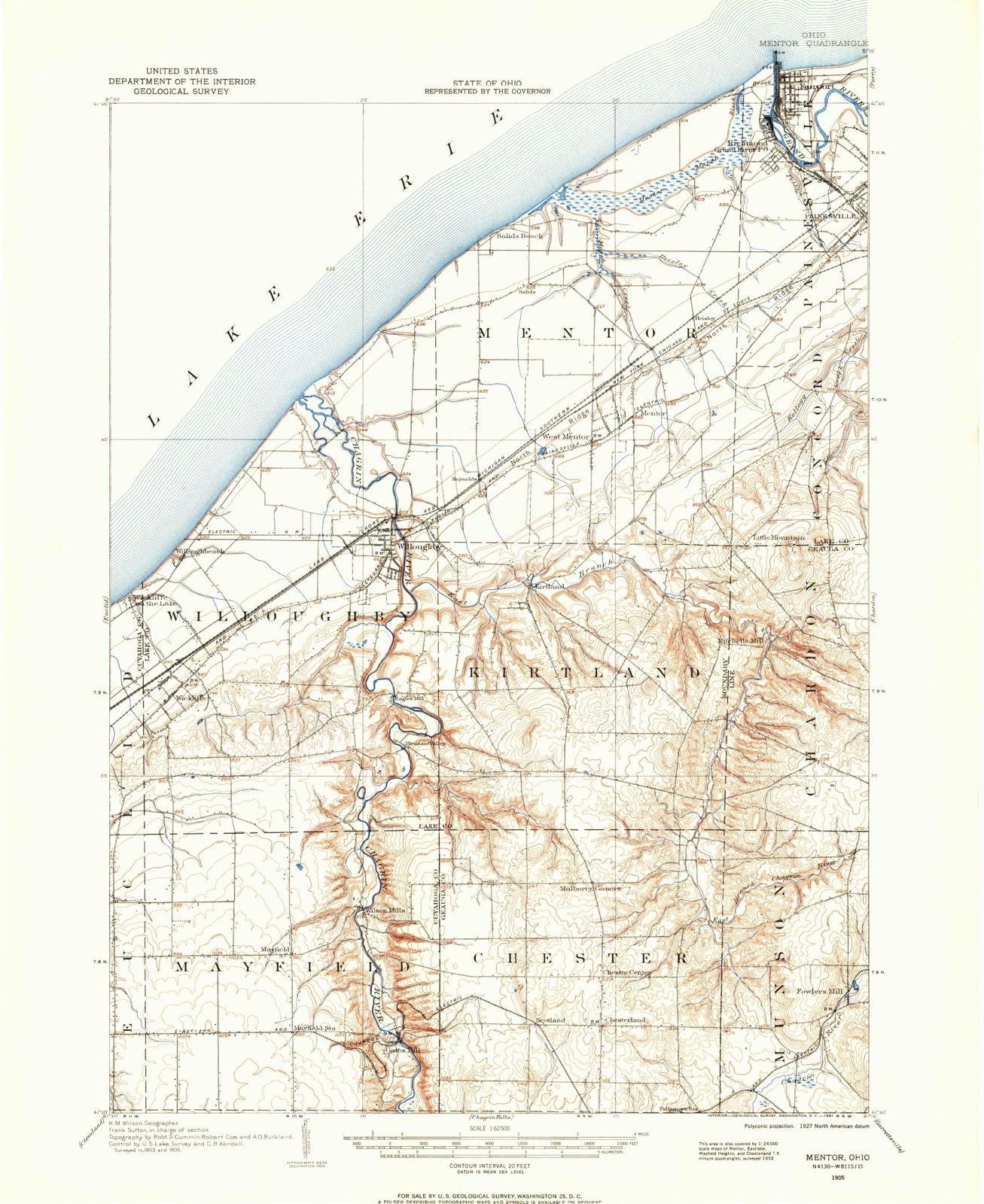
Topographic sheets covering this place
13 sheetsMatched by testing this settlement's coordinate against the published boundary of every sheet in the United States Geological Survey's historical collection. Each opens the scanned sheet at the Survey.
- 1905 USGS Mentor quadrangle1:62500
- 1907 USGS Mentor quadrangle1:62500
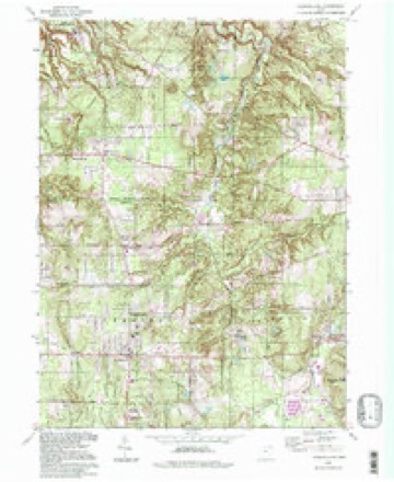
- 1953 USGS Chesterland quadrangle1:24000
- 1956 USGS Cleveland quadrangle1:250000
- 1956 USGS Cleveland quadrangle1:250000
- 1956 USGS Cleveland quadrangle1:250000
- 1962 USGS Cleveland quadrangle1:250000
- 1963 USGS Chesterland quadrangle1:24000
- 1963 USGS Chesterland quadrangle1:24000
- 1963 USGS Chesterland quadrangle1:24000
- 1985 USGS Cleveland North quadrangle1:100000
- 1994 USGS Chesterland quadrangle1:24000
- 1994 USGS Cleveland North quadrangle1:100000




In the 1880 county history
8,052 words on this townshipThe county history of 1880 has no passage naming this settlement, which was common for the smaller places. Its township is covered in full.
The chapter on Chester Township covers the township.
Read the chapter on Chester Township - 8,052 words.
Specimens collected nearby
12 of 2,552 shownMuseums hold 2,552 specimens collected within 10 miles of Scotland between 1887 and 1975: 2,500 Animalia, 41 Plantae, 9 Fungi, 1 Chromista, 1 Unrecorded. 12 distinct Species records are shown. Collected by A. Hoenigman, A. Woolman, Aldritch, J W and others. Each is a physical object with a catalogue number, and each entry opens the museum's record. This is what was collected and kept, not a survey of what lives here - nothing can be concluded from a species being absent.
| Image | Species | Year | Collected by | Where, as recorded |
|---|---|---|---|---|
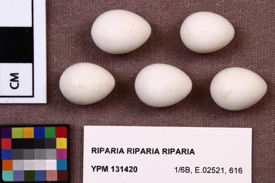 | Riparia riparia riparia (Linnaeus, 1758) | 1891 | Fred Haggart | |
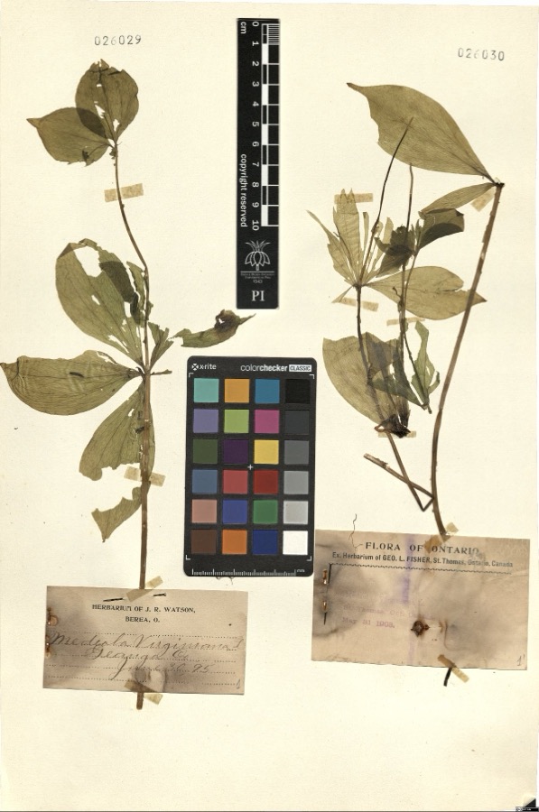 | Medeola virginiana L. | 1895 | Watson,J.R. s.n. [1895-06-30] | [label: Herbarium of J.R. Watson, Berea, O.] Geauga Co. [County] |
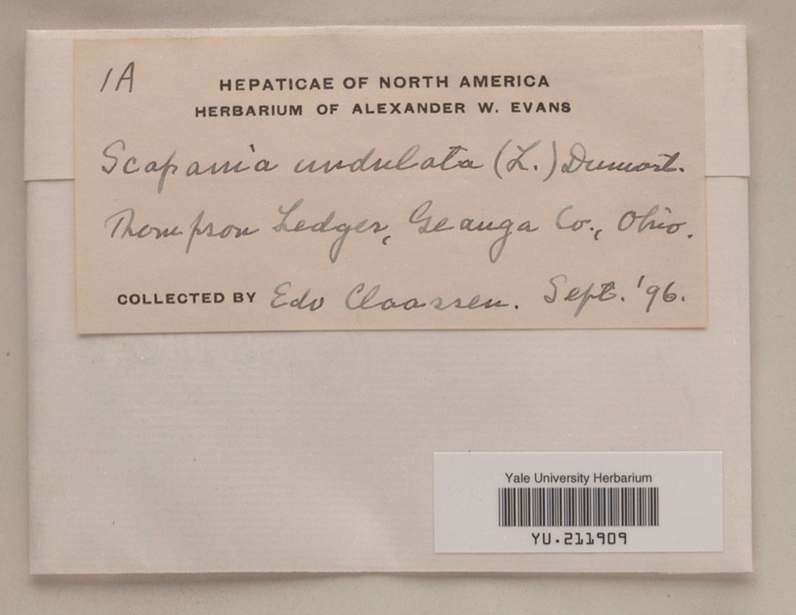 | Scapania undulata (L.) Dumort. | 1896 | Edo N. Claassen | Thompson Ledges |
 | Dryopteris marginalis (L.) A.Gray | 1887 | Leonard, F.E. | Munson |
 | Etheostoma caeruleum Storer, 1845 | 1893 | A. Woolman | Aurora Branch, Chagrin River, Ohio |
 | Etheostoma nigrum Rafinesque, 1820 | 1893 | A. Woolman | Aurora Branch, Chagrin River, Ohio |
 | Nocomis micropogon (Cope, 1865) | 1893 | A. Woolman | Aurora Branch, Chagrin River, Ohio |
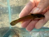 | Noturus flavus Rafinesque, 1818 | 1893 | A. Woolman | Aurora Branch, Chagrin River, Ohio |
 | Rhinichthys atratulus (Hermann, 1804) | 1893 | Woolman | Aurora branch of Chagrin River, Ohio |
 | Cypripedium reginae Walter | 1896 | J. R. Watson | Geauga |
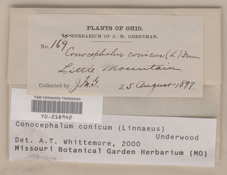 | Conocephalum conicum (L.) Underw. | 1897 | Jesse M. Greenman | Little Mountain |
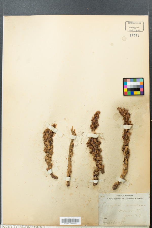 | Conopholis americana (L.) Wallr. | 1897 | Ashcroft | Mentor |
All 2,552 specimens within 10 miles, at the Global Biodiversity Information Facility.
Storms nearby
3 since 2011The National Weather Service names Scotland in 3 storm reports between 2011 and 2022: 1 tornado, 1 thunderstorm wind, 1 hail. No death or injury is recorded in these reports. Each account below is quoted exactly as the forecast office filed it, from the NOAA Storm Events Database, and each date opens the federal record of that event.
| When | Event | Place named | Harm | What the report says |
|---|---|---|---|---|
| August 2011 | Tornado (EF1) | Scotland | $300,000 | An EF1 tornado touched down west of Chesterland just to the north of the intersection of U.S. Route 322 and Caves Road. The tornado then traveled east southeast through Chesterland and finally lifted north of the intersection of Sperry and Cedar Roads. The damage path was nearly three miles in length and up to 50 yards in width. Dozens of trees were downed along the damage path. Some homes and businesses in Chesterland sustained roof and siding damage. Many windows were also blown out. |
| May 2022 | Hail | Scotland | - | Penny-size hail about one-mile west of Chesterland. |
| December 2018 | Thunderstorm Wind | Scotland | - | Trees and power lines were reported down in northern Geauga county, including in the Chesterland and Chardon Township areas. One downed tree blocked Woodin Road for some time. |
Nearest settlements
The eight closest, with where each one stands in the county. Distances are straight-line, computed from the Geographic Names Information System coordinates.
| Map | Place | Distance | Sheets |
|---|---|---|---|
| Chesterland | 1.3 miles | 13 | |
| Chester Center | 1.5 miles | 13 | |
| Novelty | 2.2 miles | 15 | |
| Briar Hill Corners | 2.5 miles | 15 | |
| Fullertown | 3.9 miles | 15 | |
| Russell Center | 4.3 miles | 15 | |
| Beudale (historical) | 5.1 miles | 15 | |
| Fowlers Mill | 5.6 miles | 13 |
Provenance
This settlement is recorded in the Geographic Names Information System as feature 1046049. The sheet list is computed by point-in-boundary test against the United States Geological Survey's historical topographic inventory. Both are works of the United States government and carry no copyright under 17 U.S.C. 105.
Specimens. Global Biodiversity Information Facility (GBIF), https://www.gbif.org/. Only records licensed CC0 or CC BY are used. Records licensed CC BY-NC are excluded because this site carries advertising. Images are checked individually and any whose licence is non-commercial, no-derivatives or unreadable is refused.
Storms. NOAA National Centers for Environmental Information, Storm Events Database https://www.ncei.noaa.gov/stormevents/ A work of the United States government, no copyright under 17 U.S.C. 105. Narratives are quoted verbatim from the National Weather Service report and are not edited or summarised.