 Block
Block
Shalersville, Ohio
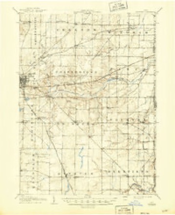
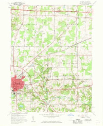
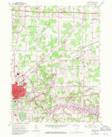
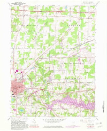
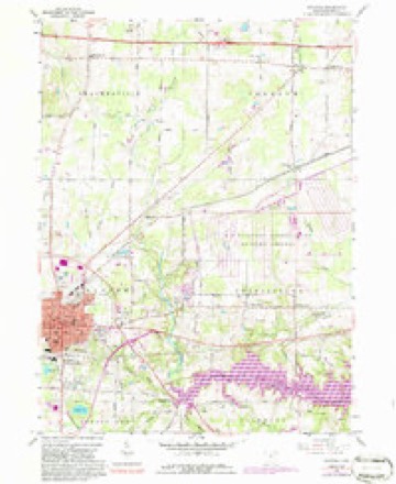
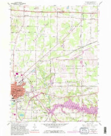
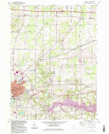
15 topographic sheets cover this place, the earliest surveyed in 1906 and the latest in 1994. It stands in Shalersville Township. It lies in ZIP code area 44266. The Survey maps it on the Ravenna quadrangle.
Then and now
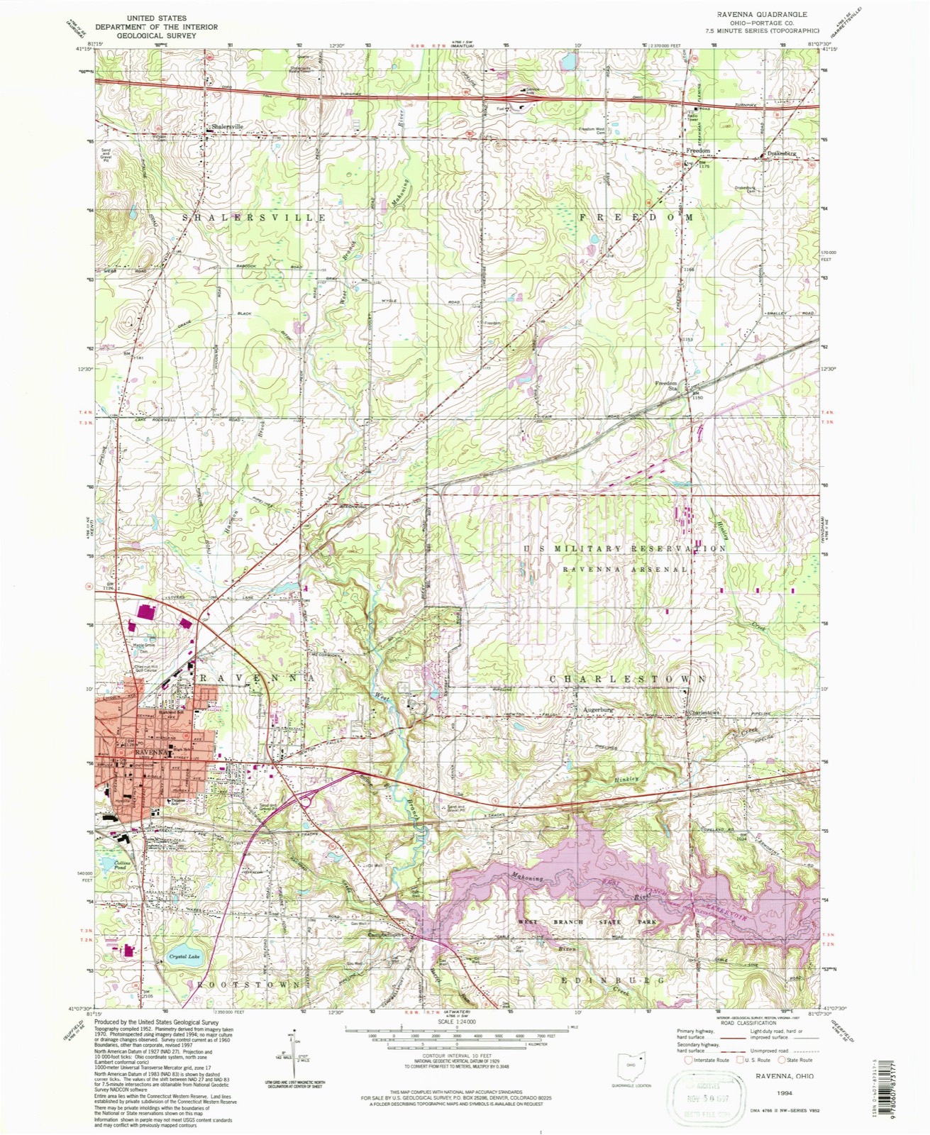
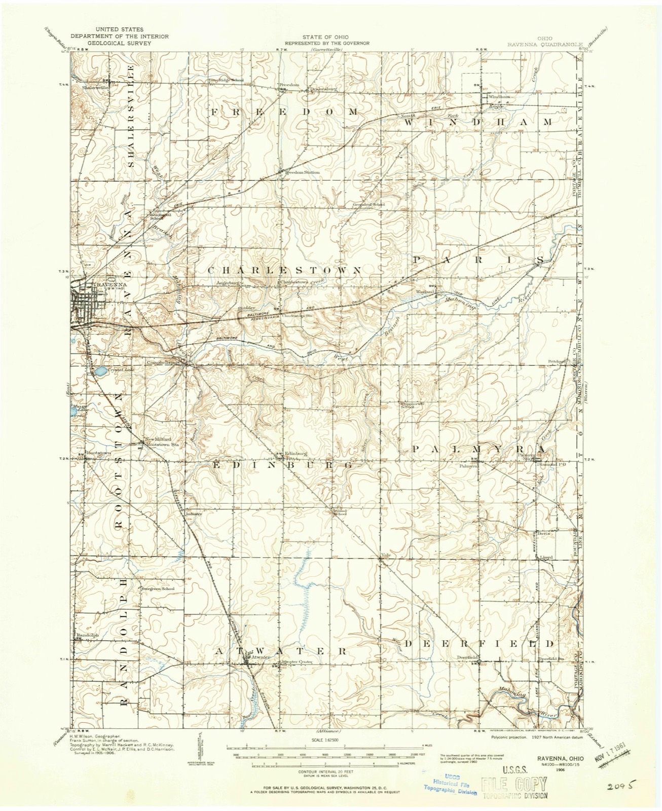
1906 to 1994The same ground, surveyed 88 years apart. Drag the handle to wipe between them. Both sheets are United States Geological Survey originals; neither has been altered.
Compare 1906 against another survey:
Topographic sheets covering this place
15 sheetsMatched by testing this settlement's coordinate against the published boundary of every sheet in the United States Geological Survey's historical collection. Each opens the scanned sheet at the Survey.
- 1906 USGS Ravenna quadrangle1:62500
- 1908 USGS Ravenna quadrangle1:62500
- 1908 USGS Ravenna quadrangle1:62500
- 1956 USGS Cleveland quadrangle1:250000
- 1956 USGS Cleveland quadrangle1:250000
- 1956 USGS Cleveland quadrangle1:250000
- 1960 USGS Ravenna quadrangle1:24000
- 1960 USGS Ravenna quadrangle1:24000
- 1960 USGS Ravenna quadrangle1:24000
- 1960 USGS Ravenna quadrangle1:24000
- 1960 USGS Ravenna quadrangle1:24000
- 1962 USGS Cleveland quadrangle1:250000
- 1986 USGS Cleveland South quadrangle1:100000
- 1994 USGS Cleveland South quadrangle1:100000
- 1994 USGS Ravenna quadrangle1:24000






In the county-history sources
4,075 words on this townshipHistory of Portage County, Ohio, published 1885 names this settlement in its chapter on Shalersville Township. These are the passages that mention it, exactly as the scans read.
In the spring of 1806 Joel Baker with his wife and one child started from Tolland County, Conn., in a wagon, and after a long and tiresome journey arrived on the spot where now is the center of Shalersville. The country at that time was an unbroken wilderness, and not the least sign of a clearing appeared, so when Baker got out of his wagon and looked around, it mast have been upon a scene calculated to daunt any but the most determined nature. He, however, went to work with a will and, fortunately, had a wife who was, indeed, a helpmeet to him, for when he dug a well, which was almost the first thing he did, his wife handled the windlass while he delved down in the depths. For the first few nights after his arrival the whole family slept in a large hollow log, but soon he reared a small cabin and made a clearing around it on Lot 46, 160 acres having been given him by Shaler to settle upon it. This cabin was located nearly opposite where the hotel now stands, and the well, we learn, is in good condition yet. Baker, some time previous to coming to the Reserve, had purchased Lot 33, and after spending two years at his first settlement, moved to this lot, where he opened up a farm, erected good buildings, and died in 1849. Those two first years were terribly lonesome ones to the sturdy pioneer and his wife, as no settler came in during that time. He had to go long distances for provisions, and the townships of Free- dom and Streetsboro were still as nature had formed them, they not being settled up for several years afterward. Mantua was beginning to till up, however, and he had some neighbors there, within two or three miles. Mrs. Baker is said to have been an extraordinary woman in points of endurance and resources, and with a patience that never wearied; just the brave wife for one of those grand old " builders without wage," who laid their foundations deep and strong, and made possible this marvellous occidental civilization.
Passage source: History of Portage County, Ohio, published 1885.
In the year 1801 Simeon Crane, with his family, came to Canfield, Trumbull County, with an ox-team, a horse and a cow, making the journey in forty days. There he resided till 1808, when he, in company with two brothers, Belden and Calvin, came to Shalersville. Simeon was born in Saybrook, Conn., but the family were of "Welsh extraction, an ancestor having immigrated to America at an early day, whence sprung the entire Crane family, so numerous throughout the country. The three brothers built two log- houses during this year, then returned to Canfield, and in the spring of 1809 moved in for permanent settlement, and where their descendants live to this day, E. M. Crane being the leading representative of the family, and having the honor or good fortune to have been the first white male child born in the township. Simeon died September 14, 1846, and their first son. Squire Manly Crane, as he is better known, is a worthy scion of the original stbck.
Passage source: History of Portage County, Ohio, published 1885.
The damage being repaired, the mill was largely patronized, for timber could be had for the asking, and Mr. Mason, who was elected Sheriff in 1814, added a grist-mill to the property. After studying for the ministry Muzzy became pastor of a church in Worcester, Mass., but, true to his impulsive nature, fell in love with a girl he could not get, and fled for consolation to the wilds of the West, totally disappearing from his former connections for twenty-five years, when he turned up as a carpenter in Edinburg Township. Noah and Noble Rogers moved into Shalersville from Mantua in 1829, and established a tannery near the north line of the township. This ceased existence over forty years ago.
Passage source: History of Portage County, Ohio, published 1885.
Machine-read from a century-old scan, so expect the errors a machine makes: misspelled names, dropped words, stray characters.
Read the whole chapter on Shalersville Township - it names this place 5 more 5 times.
Specimens collected near this place
12 of 1,168 shownRegional context, not property-specific evidence. Museums hold 1,168 specimens collected within 10 miles of Shalersville between 1883 and 1975: 849 Animalia, 281 Plantae, 32 Fungi, 4 Unrecorded, 1 Protozoa, 1 Bacteria. 12 distinct Species records are shown. Collected by A. D. Huryn, A. F. Clewell, A. Woolman and others. Each is a physical object with a catalogue number, and each entry opens the museum's record. This is what was collected and kept, not a survey of what lives here - nothing can be concluded from a species being absent.
| Image | Species | Year | Collected by | Where, as recorded |
|---|---|---|---|---|
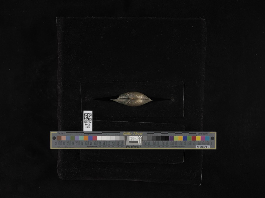 | Pyganodon grandis (Say, 1829) | 1884 | G. Dean | Garretsville |
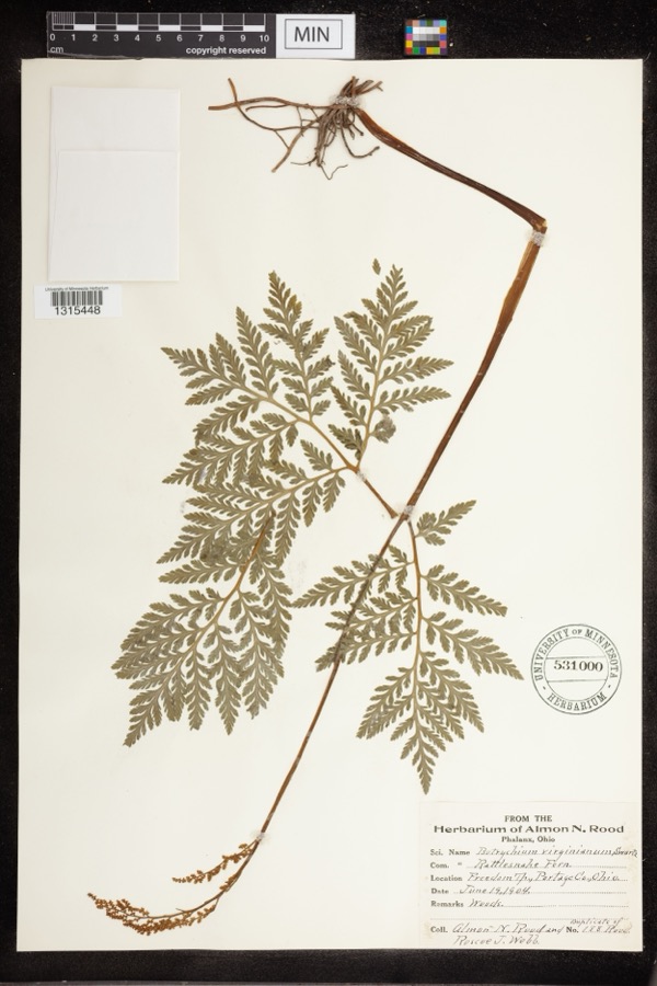 | Botrychium virginianum (L.) Sw. | 1904 | Rood, Almon N.; Roscoe J. Webb | Freedom Twp |
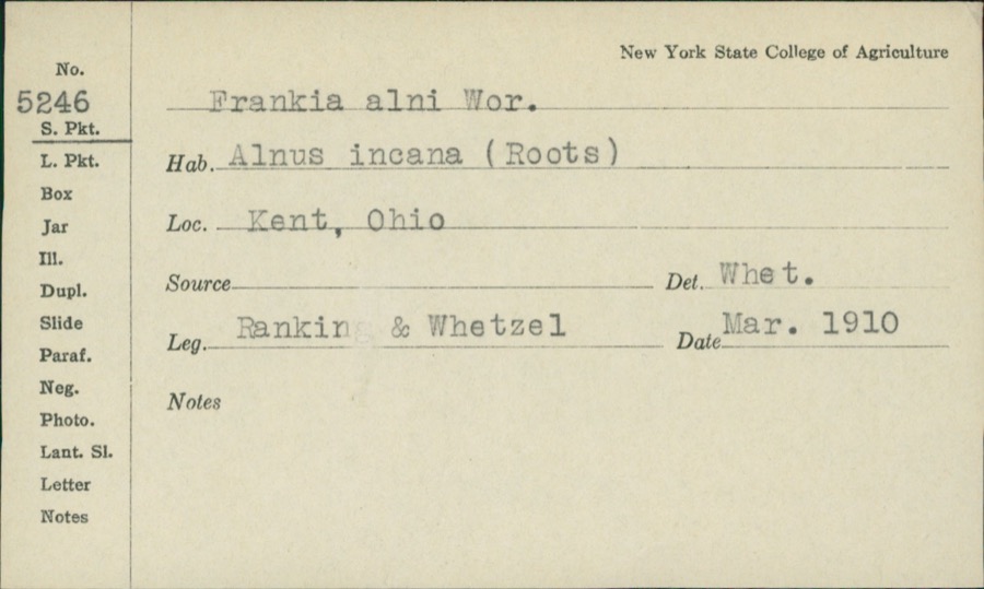 | Frankiella alni (Woronin) Maire & A.Tison | 1910 | Rankin; H.H. Whetzel | |
 | Colaptes auratus luteus Bangs, 1898 | 1883 | John C. Catlin | Ravenna |
 | Dolichonyx oryzivorus (Linnaeus, 1758) | 1883 | John C. Catlin | Ravenna |
 | Lepidozia reptans (L.) Dumort. | 1884 | Czekaj | |
 | Glaucomys volans volans (Linnaeus, 1758) | 1889 | C. P. Streator | Ravenna |
 | Ambloplites rupestris (Rafinesque, 1817) | 1893 | A. Woolman | Cuyahoga River, Kent, Ohio |
 | Ambystoma maculatum (Shaw, 1802) | 1893 | not recorded | Garrettsville |
 | Cambarus propinquus Girard, 1852 | 1893 | Woolman | Cuyahoga River, Kent |
 | Catostomus commersonii (Lacepède, 1803) | 1893 | A. Woolman | Cuyahoga River, Kent, Ohio |
 | Esox americanus vermiculatus Lesueur, 1846 | 1893 | A. Woolman | Cuyahoga River, Kent, Ohio |
All 1,168 specimens within 10 miles, at the Global Biodiversity Information Facility.
Mines and quarries near this place
10 of 23 shownRegional context, not property-specific evidence. The federal mineral resources record lists 23 workings within 5 miles of Shalersville: 11 past producers, 11 producers, 1 plant. 12 still produce. What was taken out: Sand and Gravel, Construction. Distance is straight-line from the map coordinates, so a quarry counted here may appear on a neighbouring settlement's page as well.
| Where | Site | Commodity | Status | Recorded |
|---|---|---|---|---|
| Beck Sand and Gravel Pit | Sand and Gravel, Construction | Past Producer | Sedimentary | |
| Beck Sand and Gravel Pit | Sand and Gravel, Construction | Producer | ||
| Becks Pit | Sand and Gravel, Construction | Producer | ||
| Jefferson Materials Company Pit | Sand and Gravel, Construction | Past Producer | Sedimentary | |
| Karl Brugmann Sand and Gravel Pit | Sand and Gravel, Construction | Past Producer | Sedimentary | |
| Karl Brugmann Sand and Gravel Pit | Sand and Gravel, Construction | Producer | ||
| Lakeside Sand and Gravel Pit | Sand and Gravel, Construction | Producer | ||
| Miller Sand and Gravel Pit | Sand and Gravel, Construction | Past Producer | Sedimentary | |
| Miller Sand and Gravel Pit | Sand and Gravel, Construction | Producer | ||
| Oscar Brugmann Pit | Sand and Gravel, Construction | Past Producer | Sedimentary |
Storms near this place
6 since 1997Regional context, not property-specific evidence. The National Weather Service names Shalersville in 6 storm reports between 1997 and 2023: 5 thunderstorm wind, 1 flash flood. No death or injury is recorded in these reports. Each account below is quoted exactly as the forecast office filed it, from the NOAA Storm Events Database, and each date opens the federal record of that event.
| When | Event | Place named | Harm | What the report says |
|---|---|---|---|---|
| July 2013 | Flash Flood | Shalersville | $2,400,000 | High water closed most roads in Shalersville after an estimated 3 to 4 inches of rain fell within one hour. This rainfall was after 16 consecutive days with rain in the region. Subsequently the saturated ground could not absorb the water and widespread flooding resulted. The water came up so quickly that emergency officials had to evacuate homeowners. Several people became stranded in their cars or homes. Hardest hit areas include Wentworth Street in the Bolingbrook neighborhood and Aurora East where water was several feet deep in homes. The flood waters inundated about half of the 350 homes. The waters receded within an hour or two. |
| July 2012 | Thunderstorm Wind | Shalersville | $5,000 | Thunderstorm winds downed three trees in Shalersville Township. |
| August 2011 | Thunderstorm Wind | Shalersville | $2,000 | Thunderstorm winds downed a large tree. |
| August 1997 | Thunderstorm Wind | Shalersville | $2,000 | Trees were downed. |
| April 2023 | Thunderstorm Wind | Shalersville | - | Downed tree at OH-44 and OH-303 in Shalersville. |
| July 2019 | Thunderstorm Wind | Shalersville | - | A tree fell on I-80 eastbound between Portage and Route 44. |
Nearest settlements
The eight closest, with where each one stands in the county. Distances are straight-line, computed from the Geographic Names Information System coordinates.
| Map | Place | Distance | Sheets |
|---|---|---|---|
| Evergreen Village | 0.3 miles | 15 | |
| Pine Manor | 1.2 miles | 14 | |
| Freedom Dam | 2.9 miles | 14 | |
| Mantua | 3.1 miles | 13 | |
| Birchwood Manor | 4.3 miles | 14 | |
| Freedom | 4.4 miles | 15 | |
| Doolittles Corners | 4.7 miles | 14 | |
| Blackbrook Valley Estates | 4.8 miles | 13 |
Provenance
This settlement is recorded in the Geographic Names Information System as feature 1065309. The sheet list is computed by point-in-boundary test against the United States Geological Survey's historical topographic inventory. Both are works of the United States government and carry no copyright under 17 U.S.C. 105.
Specimens. Global Biodiversity Information Facility (GBIF), https://www.gbif.org/. Only records licensed CC0 or CC BY are used. Records licensed CC BY-NC are excluded because this site carries advertising. Images are checked individually and any whose licence is non-commercial, no-derivatives or unreadable is refused.
Mines and quarries. USGS Mineral Resources Data System (MRDS) https://mrdata.usgs.gov/mrds/ A work of the United States government, no copyright under 17 U.S.C. 105.
Storms. NOAA National Centers for Environmental Information, Storm Events Database https://www.ncei.noaa.gov/stormevents/ A work of the United States government, no copyright under 17 U.S.C. 105. Narratives are quoted verbatim from the National Weather Service report and are not edited or summarised.