 Block
Block
Freedom, Ohio
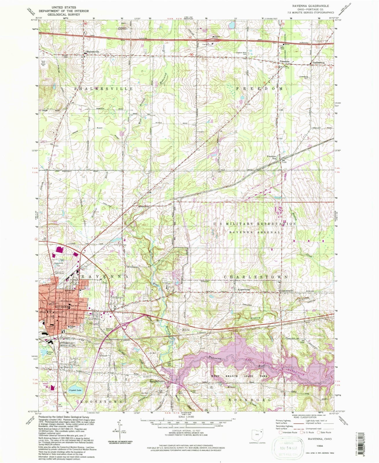
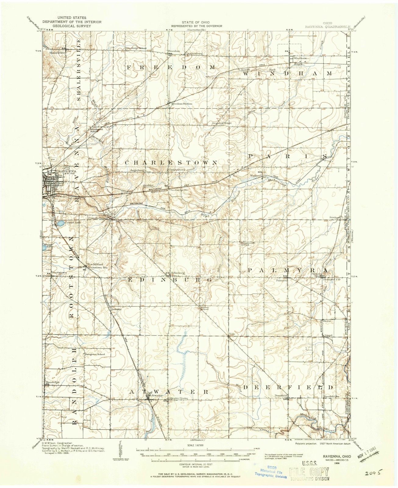
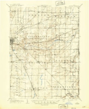
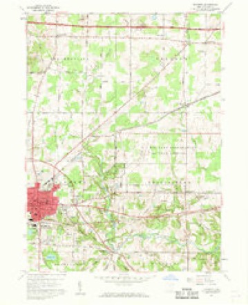
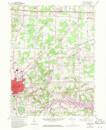
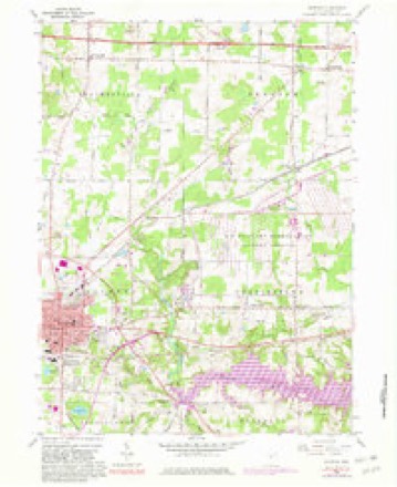
15 topographic sheets cover this place, the earliest surveyed in 1906 and the latest in 1994. It stands in Freedom Township. It lies in ZIP code area 44288. The Survey maps it on the Ravenna quadrangle.
Then and now
1906 to 1994The same ground, surveyed 88 years apart. Drag the handle to wipe between them. Both sheets are United States Geological Survey originals; neither has been altered.
Compare 1906 against another survey:
Topographic sheets covering this place
15 sheetsMatched by testing this settlement's coordinate against the published boundary of every sheet in the United States Geological Survey's historical collection. Each opens the scanned sheet at the Survey.
- 1906 USGS Ravenna quadrangle1:62500
- 1908 USGS Ravenna quadrangle1:62500
- 1908 USGS Ravenna quadrangle1:62500
- 1956 USGS Cleveland quadrangle1:250000
- 1956 USGS Cleveland quadrangle1:250000
- 1956 USGS Cleveland quadrangle1:250000
- 1960 USGS Ravenna quadrangle1:24000
- 1960 USGS Ravenna quadrangle1:24000
- 1960 USGS Ravenna quadrangle1:24000
- 1960 USGS Ravenna quadrangle1:24000
- 1960 USGS Ravenna quadrangle1:24000
- 1962 USGS Cleveland quadrangle1:250000
- 1986 USGS Cleveland South quadrangle1:100000
- 1994 USGS Cleveland South quadrangle1:100000
- 1994 USGS Ravenna quadrangle1:24000






In the county-history sources
3,035 words on this townshipHistory of Portage County, Ohio, published 1885 names this settlement in its chapter on Freedom Township. These are the passages that mention it, exactly as the scans read.
FREEDOM was the last of the townships to be organized, with the exception of one, leaving Garrettsville out of the question, which event occurred April 4, 1825, it having been a portion of Hiram Township up to that time, and known as Town 4, Range 7, of the Western Reserve. The land for some reason had been thought, by those who came at an early day, to be very poor - not worth settling on. This bad reputation arose, evidently, from the fact that a large swamp existed about the center of the township, and from the almost unbroken extent of beech woods. It is now, however, one of the finest pieces of land in the county, as drainage has been applied to all the low sections. It had been called North Rootstown in honor of the principal proprietor, Ephraim Root.
Passage source: History of Portage County, Ohio, published 1885.
In the spring of 1818 Charles H. Paine, commonly called Harry Paine, came into the township and settled on Lots 31 and 41. He came from Hiram, but originally lived at Painesville, his father being Gen. Paine, for whom that town was named. Charles had married the daughter of Elijah Mason, and remained with his father-in-law in Hiram until he could put up a cabin and make a clearing on his land in Freedom. From the time he moved to his place till 1822, himself and family were the only dwellers within what is now this highly cultivated, prosperous and fertile township, and he used to say that during those three or four years, when there was not a white person other than his own family for miles around, that it took considerable nerve to combat the sense of loneliness that would irresistibly steal over him. In 1822, however, he was rejoiced at the arrival of thirteen persons, all in one body, in fact all in one family, for Thomas Johnston and wife had eleven children at that time. Johnston was an Irishman, who in coming to this country had settled in Pennsylvania, afterward removing to the Reserve. He was a genial soul, and could tell a joke with the true Irish flavor. He settled on Lot 32.
Passage source: History of Portage County, Ohio, published 1885.
During the next year came Paul Larkcom, father of A. C. Larkcom, from Berkshire County, Mass. Paul Larkcom was one of the old Revolutionary soldiers, and had been a member of the Legislature of Massachusetts, Justice of the Peace, etc. His name figures in the history of his native State, being descended from one of the Larkcoms who fled to this country from the persecutions of the seventeenth century. His wife was a cousin of Noah Webster, the great lexicographer. The wife of his son, A. C, was a second cousin of the gallant Commodore Perry. The somewhat famous writer, Lucy Larcom, was a member of this same stock of Larkcoms, but that lady dropped the k from the original spelling of the name. In this year also came Joshua Finch, Jeremiah Colton, Nathaniel Brown, Arvin Brown, John Baldwin, Horace Hopkins, Pardon Sherman, Sylvester Hurlburt, and possibly one or two others, now forgotten. The numbers had now so increased that a petition was presented to the County Commissioners to grant the erection into a "separate township, of Town 4, Range 7, with the name of Freedom." The name "Freedom" is supposed to have been suggested by Mrs. Paine, to whom the matter was referred in honor of that lady having been the first female to enter the township. It is said that she first suggested "Liberty," but as that name was too common, it was changed. The usual version is that she was a great lover of liberty, and the name naturally came up, but an old settler says that she suggested the title in consequence of quite a number of the inhabitants having left sundry little debts when they came out.
Passage source: History of Portage County, Ohio, published 1885.
Machine-read from a century-old scan, so expect the errors a machine makes: misspelled names, dropped words, stray characters.
Read the whole chapter on Freedom Township - it names this place 3 more 3 times.
Photographs
1 photograph,Taken for the Office of War Information and the Farm Security Administration, who photographed the country between 1935 and 1944. Works of United States government photographers, with no known restriction on use. Each opens its catalogue record.
Unattributed, . Library of Congress
Specimens collected near this place
12 of 537 shownRegional context, not property-specific evidence. Museums hold 537 specimens collected within 10 miles of Freedom between 1883 and 1975: 400 Animalia, 129 Plantae, 4 Fungi, 4 Unrecorded. 12 distinct Species records are shown. Collected by A. D. Huryn, A. F. Clewell, A. Woolman and others. Each is a physical object with a catalogue number, and each entry opens the museum's record. This is what was collected and kept, not a survey of what lives here - nothing can be concluded from a species being absent.
| Image | Species | Year | Collected by | Where, as recorded |
|---|---|---|---|---|
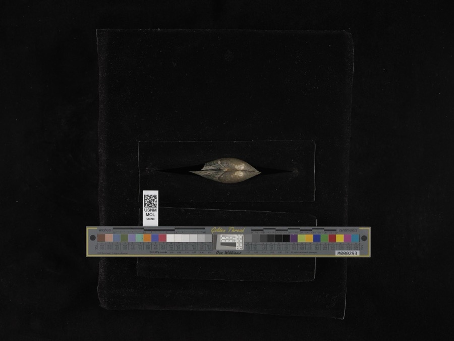 | Pyganodon grandis (Say, 1829) | 1884 | G. Dean | Garretsville |
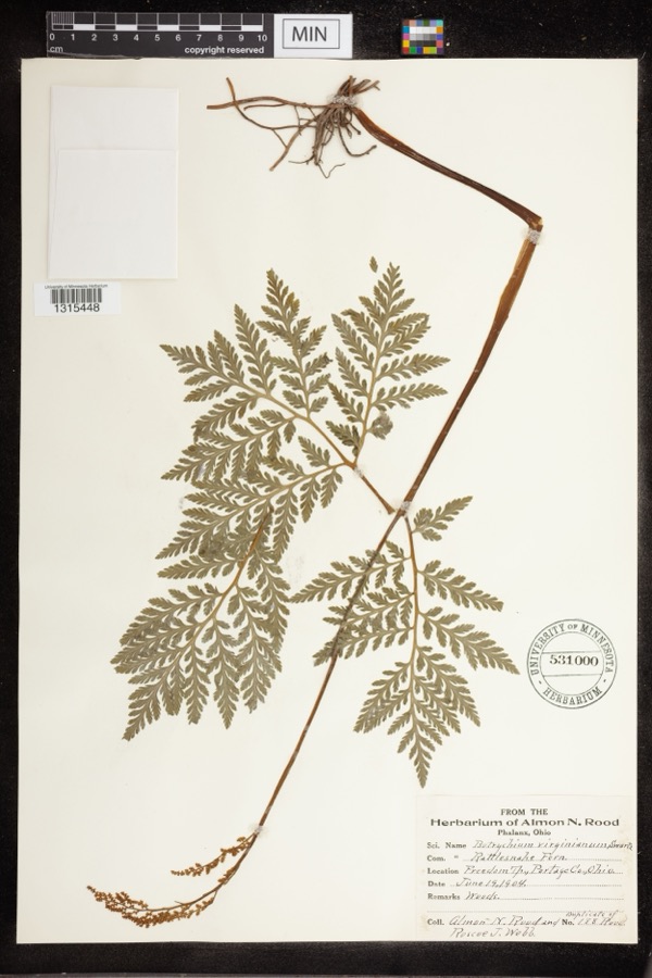 | Botrychium virginianum (L.) Sw. | 1904 | Rood, Almon N.; Roscoe J. Webb | Freedom Twp |
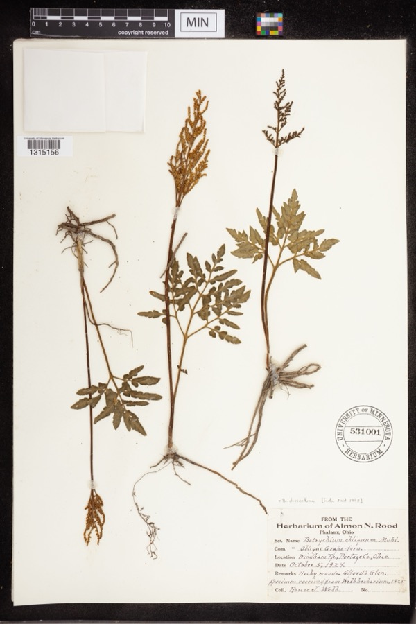 | Botrychium dissectum Spreng. | 1924 | Webb, Roscoe J. | Alford's Glen |
 | Colaptes auratus luteus Bangs, 1898 | 1883 | John C. Catlin | Ravenna |
 | Dolichonyx oryzivorus (Linnaeus, 1758) | 1883 | John C. Catlin | Ravenna |
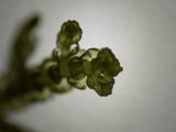 | Lepidozia reptans (L.) Dumort. | 1884 | Czekaj | |
 | Melanerpes carolinus (Linnaeus, 1758) | 1885 | Collector(s): S. N. Denton | Windham |
 | Glaucomys volans volans (Linnaeus, 1758) | 1889 | C. P. Streator | Ravenna |
 | Ambloplites rupestris (Rafinesque, 1817) | 1893 | A. Woolman | Cuyahoga River, Mantau, Ohio |
 | Ambystoma maculatum (Shaw, 1802) | 1893 | not recorded | Garrettsville |
 | Catostomus commersonii (Lacepède, 1803) | 1893 | A. Woolman | Cuyahoga River, Mantau, Ohio |
 | Esox americanus vermiculatus Lesueur, 1846 | 1893 | A. Woolman | Cuyahoga River, Mantau, Ohio |
All 537 specimens within 10 miles, at the Global Biodiversity Information Facility.
Mines and quarries near this place
4 within 5 milesRegional context, not property-specific evidence. The federal mineral resources record lists 4 workings within 5 miles of Freedom: 3 past producers, 1 producer. 1 still produces. What was taken out: Sand and Gravel, Construction. Distance is straight-line from the map coordinates, so a quarry counted here may appear on a neighbouring settlement's page as well.
| Where | Site | Commodity | Status | Recorded |
|---|---|---|---|---|
| Beck Sand and Gravel Pit | Sand and Gravel, Construction | Past Producer | Sedimentary | |
| Sand Inc Pit | Sand and Gravel, Construction | Producer | ||
| Sand Pit Products Sand & Gravel Pit | Sand and Gravel, Construction | Past Producer | Sedimentary | |
| Sand Pit Products Sand & Gravel Pit | Sand and Gravel, Construction | Past Producer |
Storms near this place
4 since 1997Regional context, not property-specific evidence. The National Weather Service names Freedom in 4 storm reports between 1997 and 2010: 2 thunderstorm wind, 2 hail. No death or injury is recorded in these reports. Each account below is quoted exactly as the forecast office filed it, from the NOAA Storm Events Database, and each date opens the federal record of that event.
| When | Event | Place named | Harm | What the report says |
|---|---|---|---|---|
| September 2010 | Thunderstorm Wind | Freedom | $15,000 | Thunderstorm winds toppled a tree. The tree landed on a mobile home and caused some damage. |
| April 2002 | Hail | Freedom | $5,000 | Dime size hail was reported. |
| April 2006 | Hail | Freedom | $2,000 | Quarter size hail was observed. |
| August 1997 | Thunderstorm Wind | Freedom | $2,000 | Trees were downed. |
Nearest settlements
The eight closest, with where each one stands in the county. Distances are straight-line, computed from the Geographic Names Information System coordinates.
| Map | Place | Distance | Sheets |
|---|---|---|---|
| Drakesburg | 0.8 miles | 15 | |
| Blackbrook Valley Estates | 2.0 miles | 13 | |
| Freedom Station | 2.1 miles | 15 | |
| Jeddoe | 2.8 miles | 13 | |
| Greenleafs Corners (historical) | 3.7 miles | 13 | |
| Evergreen Village | 4.3 miles | 15 | |
| Garrettsville | 4.3 miles | 13 | |
| Shalersville | 4.4 miles | 15 |
Elsewhere
Matched on this settlement's Geographic Names Information System number rather than its name, so it cannot be a different place of the same name in another state.
| Wikidata item Q14716420 | The structured record the population and elevation above come from. Public domain (CC0). |
Provenance
This settlement is recorded in the Geographic Names Information System as feature 1064684. The sheet list is computed by point-in-boundary test against the United States Geological Survey's historical topographic inventory. Both are works of the United States government and carry no copyright under 17 U.S.C. 105.
Specimens. Global Biodiversity Information Facility (GBIF), https://www.gbif.org/. Only records licensed CC0 or CC BY are used. Records licensed CC BY-NC are excluded because this site carries advertising. Images are checked individually and any whose licence is non-commercial, no-derivatives or unreadable is refused.
Mines and quarries. USGS Mineral Resources Data System (MRDS) https://mrdata.usgs.gov/mrds/ A work of the United States government, no copyright under 17 U.S.C. 105.
Storms. NOAA National Centers for Environmental Information, Storm Events Database https://www.ncei.noaa.gov/stormevents/ A work of the United States government, no copyright under 17 U.S.C. 105. Narratives are quoted verbatim from the National Weather Service report and are not edited or summarised.