 Block
Block
Sherborn, Massachusetts
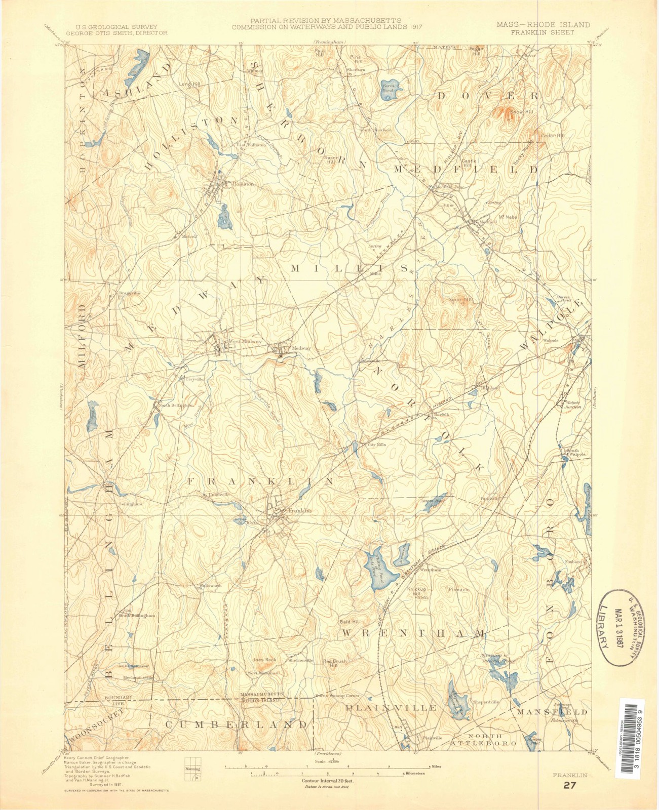
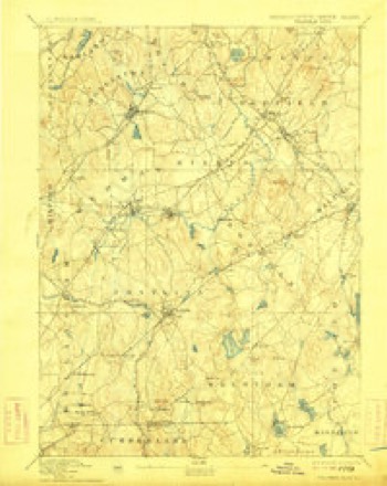
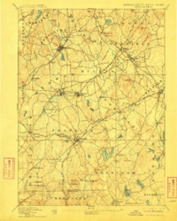
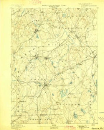
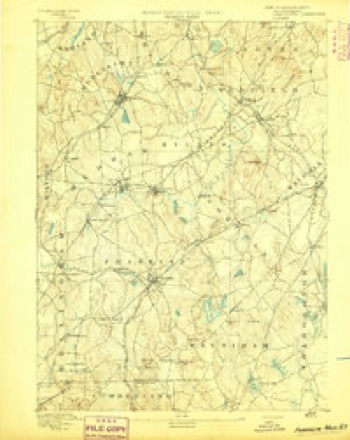
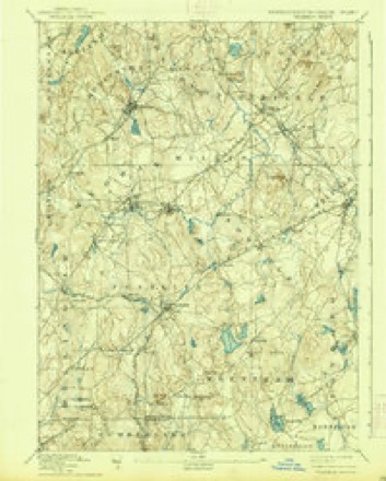
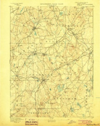
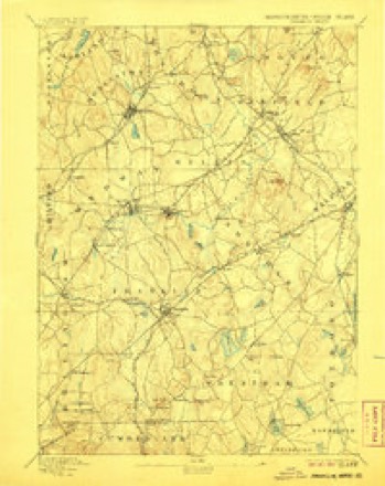
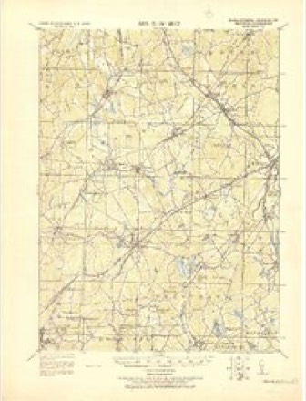
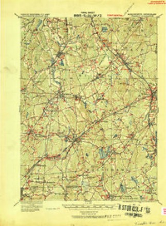
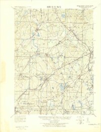
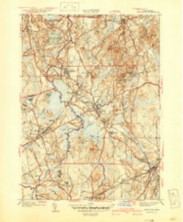
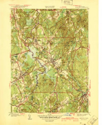
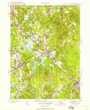
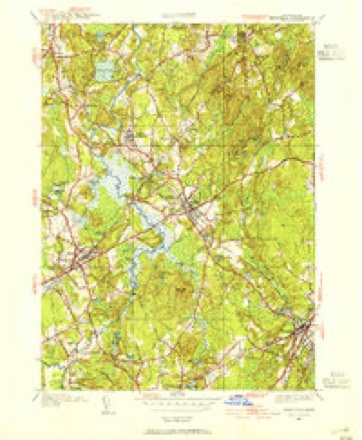
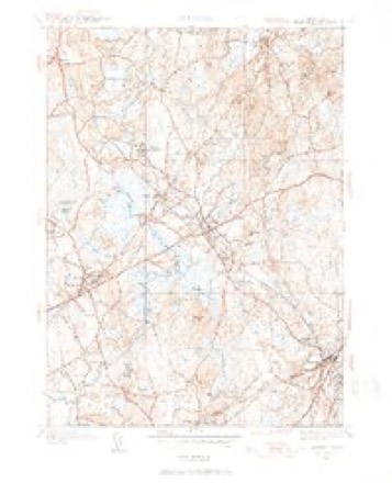
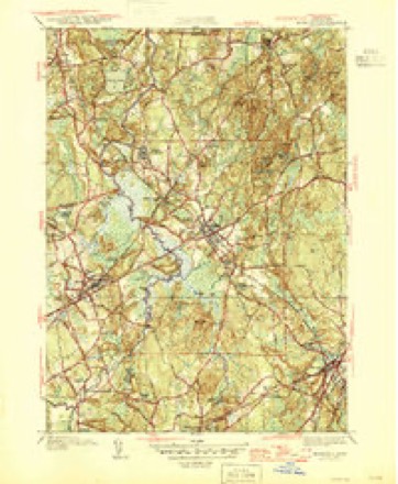
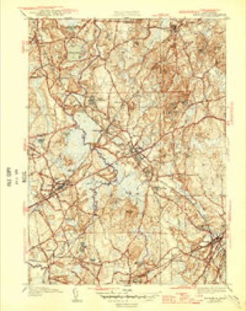
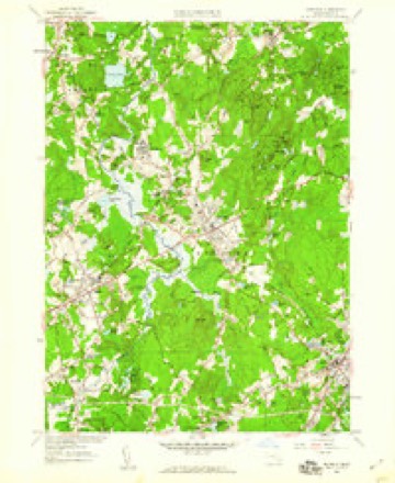
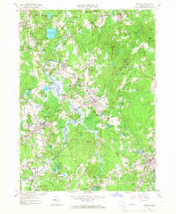
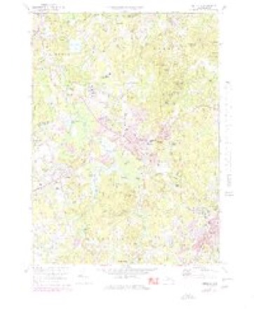
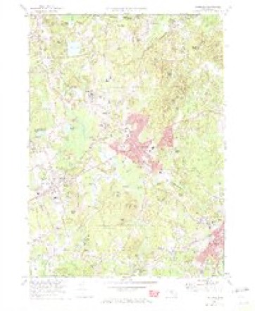
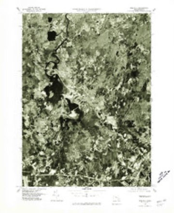
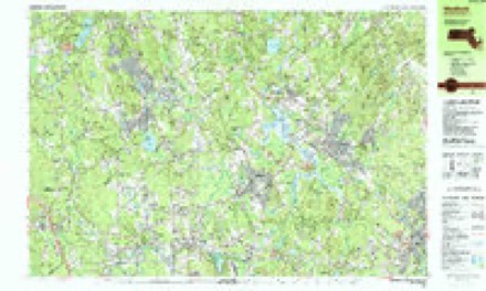
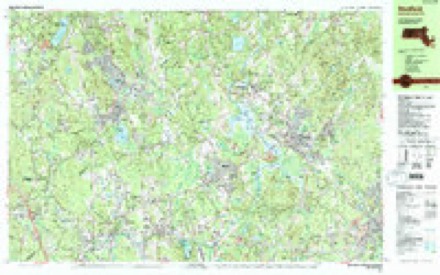
43 topographic sheets cover this place, the earliest surveyed in 1887 and the latest in 1989. It stands in Sherborn town. It lies in ZIP code area 01770. It stands on Pine Hill. The Survey maps it on the Medfield quadrangle.
Then and now
1887 to 1989The same ground, surveyed 102 years apart. Drag the handle to wipe between them. Both sheets are United States Geological Survey originals; neither has been altered.

Topographic sheets covering this place
43 sheetsMatched by testing this settlement's coordinate against the published boundary of every sheet in the United States Geological Survey's historical collection. Each opens the scanned sheet at the Survey.
- 1887 USGS Franklin quadrangle1:62500
- 1889 USGS Franklin quadrangle1:62500
- 1893 USGS Franklin quadrangle1:62500
- 1893 USGS Franklin quadrangle1:62500
- 1893 USGS Franklin quadrangle1:62500
- 1893 USGS Franklin quadrangle1:62500
- 1893 USGS Franklin quadrangle1:62500
- 1893 USGS Franklin quadrangle1:62500
- 1893 USGS Franklin quadrangle1:62500
- 1893 USGS Franklin quadrangle1:62500
- 1919 USGS Franklin quadrangle1:62500
- 1919 USGS Franklin quadrangle1:62500
- 1921 USGS Franklin quadrangle1:62500
- 1940 USGS Medfield quadrangle1:31680
- 1940 USGS Medfield quadrangle1:31680
- 1943 USGS Boston quadrangle1:125000
- 1945 USGS Medfield quadrangle1:24000
- 1945 USGS Medfield quadrangle1:31680
- 1945 USGS Medfield quadrangle1:31680
- 1946 USGS Medfield quadrangle1:31680
- 1946 USGS Medfield quadrangle1:31680
- 1948 USGS Boston quadrangle1:250000
- 1948 USGS Boston quadrangle1:250000
- 1956 USGS Boston quadrangle1:250000
- 1956 USGS Boston quadrangle1:250000
- 1956 USGS Boston quadrangle1:250000
- 1956 USGS Boston quadrangle1:250000
- 1956 USGS Boston quadrangle1:250000
- 1956 USGS Boston quadrangle1:250000
- 1957 USGS Medfield quadrangle1:24000
- 1957 USGS Medfield quadrangle1:24000
- 1958 USGS Boston quadrangle1:250000
- 1958 USGS Boston quadrangle1:250000
- 1961 USGS Boston quadrangle1:250000
- 1961 USGS Boston quadrangle1:250000
- 1970 USGS Medfield quadrangle1:25000
- 1970 USGS Medfield quadrangle1:24000
- 1977 USGS Medfield quadrangle1:25000
- 1985 USGS Boston quadrangle1:100000
- 1987 USGS Medfield quadrangle1:25000
- 1987 USGS Medfield quadrangle1:25000
- 1989 USGS Boston quadrangle1:100000
- 1989 USGS Boston quadrangle1:100000
















In the county-history sources
14,425 words on this townshipHistory of Middlesex County, Massachusetts : Containing Carefully Prepared Histories of Every City and Town in the County, published 1880 names this settlement in its chapter on Sherborn Town. These are the passages that mention it, exactly as the scans read.
Holbrooke took possessiou and commenced their labors. They were soon followed b}' Henry Layland, Benjamin Bullard, George Fairbank, John Hill, Thomas Breck, and Daniel Morse. Most of these persons were men of substance, of strong, determined character, hardy, and not easily discouraged, as the event proved. Many of their names still live in the persons of their descendants, who are found among the prominent citizens 'of Sherborn at this day. And they required all the energy and endurance of which man is capable to subdue tlie wild lands " in the wilderness beyond Medfield," and to protect themselves against the lurking Indian. For although the Nipmuck Indians who inhabited this portion of the colony had been treated fairly in the purchase of their lands, and were at first friendly, they were afterwards influenced and controlled by King Philip with disastrous results to the settlers.
Passage source: History of Middlesex County, Massachusetts : Containing Carefully Prepared Histories of Every City and Town in the County, published 1880.
These first residents settled in the south and southeast parts of Sherborn, which then included a portion of the present eastern part of Medway. The Indian name for the locality was Boggestow ; it is perpetuated in the name of a meadow, pond, and brook. In various petitions to the governor of the colony and the General Court, the settlers termed themselves " inhabitants of Bogistow," and " inhabitants and proprietors of lands at or near Boggestow."
Passage source: History of Middlesex County, Massachusetts : Containing Carefully Prepared Histories of Every City and Town in the County, published 1880.
At this time Philip, the great sachem of the Wampanoags, was on the war-path, scattering fire and death wherever he went; and the consternation excited in the minds of the settlers was something of which we can have no adequate idea. The rapidity of the movements of the Indians through the by-paths, the thickets, and the forests, with which they were perfectly familiar, their stealthy advances, their sudden appearances, and violent murderous attacks as they swooped down on a village or a settlement, caused them to be peculiarly dreaded by a people who were wholly unaccustomed to this savage mode of warfare. Moreover, as Philip truly stated in a paper which he left on a portion of the bridge between Medfield and Boggestow, destroyed by him on the retreat following his desperate assault on the former town, "the Indians lose nothing but tlieir lives. You must lose your fair houses and cattle." The fear of so much loss undoubtedly added to tlie pangs of dread for tiie loss of life; for tlieir farms were of little use in this wilderness without their buildings and cattle. His bold threat in the same paper tliat tlie Indians " will war tiiis twenty-one years if you will," dirt not give them much hope for the future, although, as Hubbard quaintly observes, Philip fell short of this time by more than nineteen years. l?ut of his early death, efl'ected by a party under Captain Church, tlie colonists could then know nothing, and they had oidy the jirospect of continual watchfulness and defence for an indefinite period. During the known ))resence of the enemy in the vicinity, the jjcople all retreated to the garrison-houses, of which there were two,^ and lived there. Many remained for a long time, and there some of their children were born. One of these garrisons was the house of Daniel Morse, Sr., near the present road from Sherborn to Dover, and not far from Charles Eiver; and the other on the farm of Benjamin Bullard, near the present boundary line between Sherborn and Medway, and also near Charles Eiver. The latter was attacked by the enemy on February 21, 1676, the same day that Medfield was burned, and after their retreat from that jjlace. This garrison was made with great care and strength, and resisted the assaults of the Indians, some of whom were picked off by shots fired through the admirably arranged loop-holes. Finding their efforts vain, they next attempted to burn the building by pushing down the declivity above it a cart of burning flax. Destruction now seemed imminent ; but fortunately the progress of the cart was arrested by a rock, still to be seen, and the lives of the garrison saved. Some writers place the date of this attack at a later day, in May, but Hubbard, who wrote about 1677 - 78, is probably better authority. The only other concerted attack by the Indians was made either in May or July following (writers differing as to date), when they met with such a notable repulse that " they never dared to show their faces there afterwards.'" But there were single attacks by scattered Indians, and some deaths occurred among the whites. These were troublous times, and tried to the utmost the nerve and endurance of our ancestors. They never meditated a retreat from their possessions, but resolutely adhered to every means of defence, and were obliged to be watchful against surprise for a long time, not knowing the day nor the hour when they migiit be again attacked by their treacherous foe. Philip commanded not only his own tribe, but also Indians of other tribes, whom he had persuaded to enlist in his attempt to extinguish the new settlements of English people. Some of these Indians had hitherto been friendly to the whites, and among them the Nipmucks, who inhabited this and the neighboring region of country. Says S. G. Drake,^ " These were the most distressing days that New England ever beheld. Town after town fell a sacrifice to their fury. All was fear and consternation. Few there were who were not in mourning for some near kindred, and nothing but horror stared them in the face." But after the death of Pliilip in August, 1676, altliough tiie Lidians still made hostile demonstrations, their power was broken; and early in 1677 the colonists began to resume their usual occupations. The inhabitants of Sherborn again took up their negotiations with the Natick Indians for the desirable and important exchange of lands. This exchange, as before mentioned, was not fully completed and an agreement signed until April, 1679.
Passage source: History of Middlesex County, Massachusetts : Containing Carefully Prepared Histories of Every City and Town in the County, published 1880.
Machine-read from a century-old scan, so expect the errors a machine makes: misspelled names, dropped words, stray characters.
Read the whole chapter on Sherborn Town - it names this place 18 more 18 times.
Fires near this place
108 since 2016Regional context, not property-specific evidence. The federal wildfire occurrence database lists 108 fires within 5 miles of Sherborn between 2016 and 2020, burning about 45 acres in total. 3 started naturally. 4 were recorded as arson. Distance is straight-line from the map coordinates, so a fire counted here may appear on a neighbouring settlement's page as well.
| Reported cause | Fires |
|---|---|
| Debris and open burning | 41 |
| Missing data/not specified/undetermined | 32 |
| Recreation and ceremony | 10 |
| Power generation/transmission/distribution | 7 |
| Arson/incendiarism | 4 |
| Natural | 3 |
| Misuse of fire by a minor | 3 |
| Railroad operations and maintenance | 3 |
| Fireworks | 2 |
| Smoking | 2 |
| Equipment and vehicle use | 1 |
The most recent of them, most recent first, with the day each was reported and the service that recorded it.
| Date | Cause | Size | Reported by | Name on the report |
|---|---|---|---|---|
| 9 September 2020 | Debris and open burning | under an acre | Massachusetts Bureau of Forest Fire Control | not named |
| 6 September 2019 | Recreation and ceremony | under an acre | Massachusetts Bureau of Forest Fire Control | not named |
| 5 September 2018 | Recreation and ceremony | under an acre | Massachusetts Bureau of Forest Fire Control | not named |
| 3 September 2018 | Smoking | under an acre | Massachusetts Bureau of Forest Fire Control | not named |
| 3 September 2018 | Missing data/not specified/undetermined | under an acre | Massachusetts Bureau of Forest Fire Control | not named |
| 26 September 2020 | Debris and open burning | under an acre | Massachusetts Bureau of Forest Fire Control | not named |
| 23 September 2020 | Missing data/not specified/undetermined | under an acre | Massachusetts Bureau of Forest Fire Control | not named |
| 23 September 2019 | Missing data/not specified/undetermined | under an acre | Massachusetts Bureau of Forest Fire Control | not named |
Settlements close enough to share some of these fires:
Specimens collected near this place
12 of 1,150 shownRegional context, not property-specific evidence. Museums hold 1,150 specimens collected within 10 miles of Sherborn between 1898 and 1975: 857 Animalia, 175 Plantae, 115 Fungi, 3 Chromista. 12 distinct Species records are shown. Collected by A. B. Seymour, A. L. Bosworth, A. L. Dean and others. Each is a physical object with a catalogue number, and each entry opens the museum's record. This is what was collected and kept, not a survey of what lives here - nothing can be concluded from a species being absent.
| Image | Species | Year | Collected by | Where, as recorded |
|---|---|---|---|---|
 | Corvus brachyrhynchos brachyrhynchos C.L.Brehm, 1822 | 1900 | not recorded | Wayland |
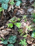 | Actaea pachypoda Elliott | 1898 | Ernest Charles Smith | |
 | Antennaria howellii subsp. canadensis (Greene) R.J.Bayer | 1898 | Williams, E.F. | |
 | Antennaria parlinii subsp. fallax (Greene) R.J.Bayer & Stebbins | 1898 | not recorded | |
 | Antennaria plantaginifolia (L.) Hook. | 1898 | not recorded | |
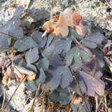 | Aquilegia canadensis L. | 1898 | M. I. Gunn | Natick |
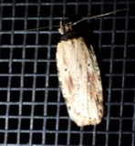 | Agonopterix atrodorsella Clemens, 1863 | 1900 | E. J. Smith | Sherborn |
 | Apantesis Walker, 1855 | 1900 | E. J. Smith | Sherborn |
 | Apatelodes torrefacta J.E.Smith, 1797 | 1900 | E. J. Smith | Sherborn |
| Araiospora pulchra Thaxt. | 1900 | R. Thaxter | Stony Brook | |
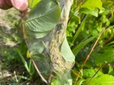 | Archips cerasivorana (Fitch, 1856) | 1900 | E. J. Smith | Sherborn |
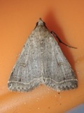 | Bleptina caradrinalis Guenée, 1854 | 1900 | E. J. Smith | Sherborn |
All 1,150 specimens within 10 miles, at the Global Biodiversity Information Facility.
Mines and quarries near this place
10 of 22 shownRegional context, not property-specific evidence. The federal mineral resources record lists 22 workings within 5 miles of Sherborn: 15 past producers, 4 producers, 3 plants. 7 still produce. What was taken out: Sand and Gravel, Construction, Stone, Granite, Stone, Crushed/Broken. Distance is straight-line from the map coordinates, so a quarry counted here may appear on a neighbouring settlement's page as well.
| Where | Site | Commodity | Status | Recorded |
|---|---|---|---|---|
| Hawkridge Bros--Ashland, Ma. | Iron | Plant | ||
| Holliston Plant | Stone, Crushed/Broken | Plant | ||
| Needham Pit | Stone | Past Producer | ||
| Simeone Stone Corp | Granite | Past Producer | Granite | |
| Ashland Plant | Sand and Gravel, Construction | Plant | ||
| Ashland Plant | Sand and Gravel, Construction | Past Producer | ||
| Ashland Sand and Gravel Co | Sand and Gravel, Construction | Past Producer | Sedimentary | |
| Hi-Way Pit and Mill | Sand and Gravel, Construction | Producer | ||
| Holliston Plant | Sand and Gravel, Construction | Past Producer | ||
| Holliston Sand Co | Sand and Gravel, Construction | Past Producer | Sedimentary |
Storms near this place
9 since 2002Regional context, not property-specific evidence. The National Weather Service names Sherborn in 9 storm reports between 2002 and 2021: 8 thunderstorm wind, 1 lightning. No death or injury is recorded in these reports. Each account below is quoted exactly as the forecast office filed it, from the NOAA Storm Events Database, and each date opens the federal record of that event.
| When | Event | Place named | Harm | What the report says |
|---|---|---|---|---|
| May 2002 | Lightning | Sherborn | $200,000 | no account filed |
| February 2016 | Thunderstorm Wind | Sherborn | $20,000 | Trees and wires were downed throughout Sherborn. |
| February 2016 | Thunderstorm Wind | Sherborn | $15,000 | Three trees on Hunting Lane and North Main Street were downed by thunderstorm winds. |
| February 2016 | Thunderstorm Wind | Sherborn | $5,000 | A large tree was downed in Sherborn. |
| February 2016 | Thunderstorm Wind | Sherborn | $5,000 | A tree between Morse Road and Eliot Street in Sherborn was downed by thunderstorm winds. |
| July 2013 | Thunderstorm Wind | Sherborn | $5,000 | Two trees on Washington Street were downed by thunderstorm winds. |
| July 2019 | Thunderstorm Wind | Sherborn | $2,000 | A tree was downed on Lake Street. |
| July 2008 | Thunderstorm Wind | Sherborn | $1,000 | A tree on Lake Street was downed across the road by thunderstorm winds. |
| July 2021 | Thunderstorm Wind | South Sherborn | $500 | In Sherborn, a tree was down on South Main Street (Route 27) at Bullard Street (Route 115). |
Nearest settlements
The eight closest, with where each one stands in the county. Distances are straight-line, computed from the Geographic Names Information System coordinates.
| Map | Place | Distance | Sheets |
|---|---|---|---|
| South Sherborn | 1.3 miles | 43 | |
| Whitneys | 1.9 miles | 41 | |
| Morseville | 2.0 miles | 46 | |
| West Natick | 2.7 miles | 40 | |
| Gooch Corners | 3.1 miles | 41 | |
| East Holliston | 3.2 miles | 41 | |
| Natick | 3.2 miles | 46 | |
| Workmans Circle Camp | 3.6 miles | 41 |
Provenance
This settlement is recorded in the Geographic Names Information System as feature 611998. The sheet list is computed by point-in-boundary test against the United States Geological Survey's historical topographic inventory. Both are works of the United States government and carry no copyright under 17 U.S.C. 105.
Wildfire. Short, Karen C. 2022. Spatial wildfire occurrence data for the United States, 1992-2020 [FPA_FOD_20221014]. 6th Edition. Fort Collins, CO: Forest Service Research Data Archive. https://doi.org/10.2737/RDS-2013-0009.6 Collected with United States Government funding and usable without additional permissions or fees.
Specimens. Global Biodiversity Information Facility (GBIF), https://www.gbif.org/. Only records licensed CC0 or CC BY are used. Records licensed CC BY-NC are excluded because this site carries advertising. Images are checked individually and any whose licence is non-commercial, no-derivatives or unreadable is refused.
Mines and quarries. USGS Mineral Resources Data System (MRDS) https://mrdata.usgs.gov/mrds/ A work of the United States government, no copyright under 17 U.S.C. 105.
Storms. NOAA National Centers for Environmental Information, Storm Events Database https://www.ncei.noaa.gov/stormevents/ A work of the United States government, no copyright under 17 U.S.C. 105. Narratives are quoted verbatim from the National Weather Service report and are not edited or summarised.