 Block
Block
Framingham, Massachusetts
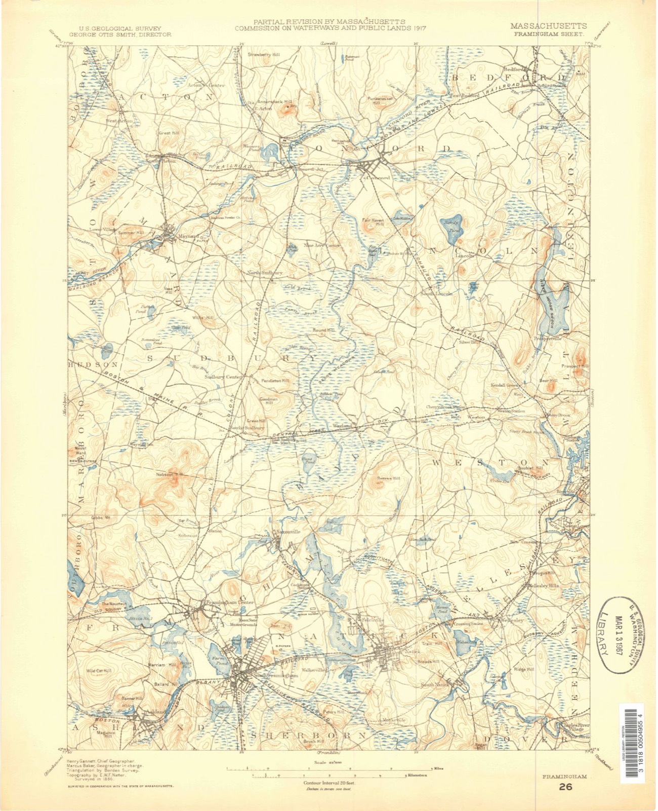
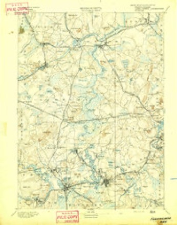
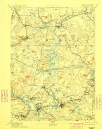
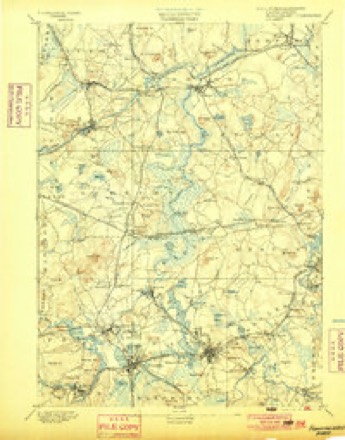
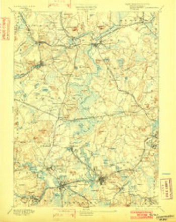
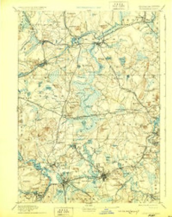
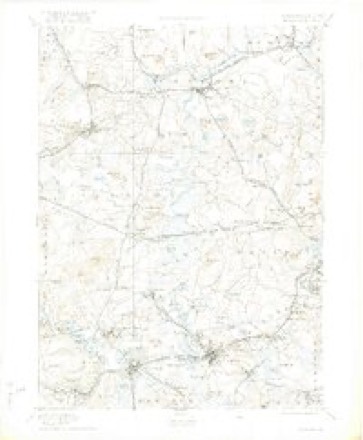
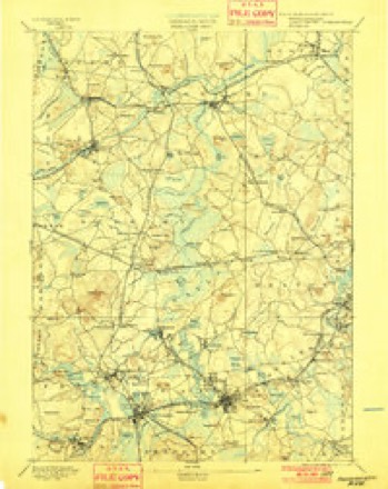
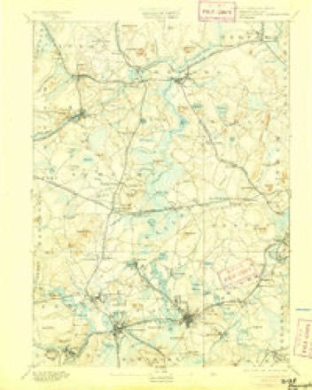
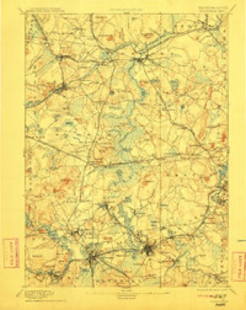
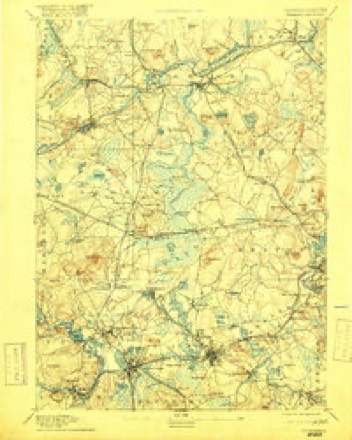
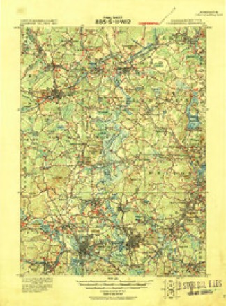
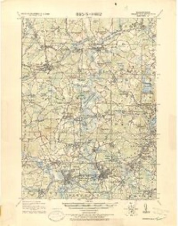
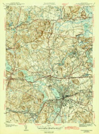
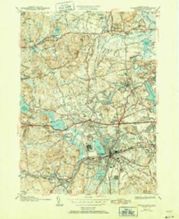
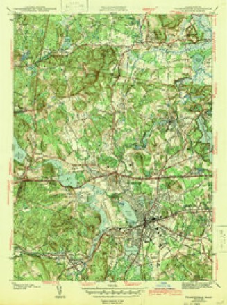
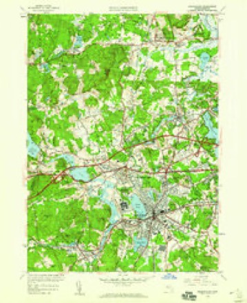
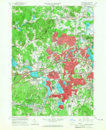
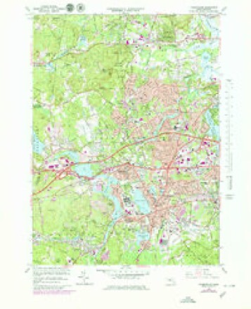
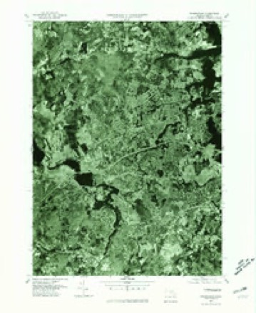
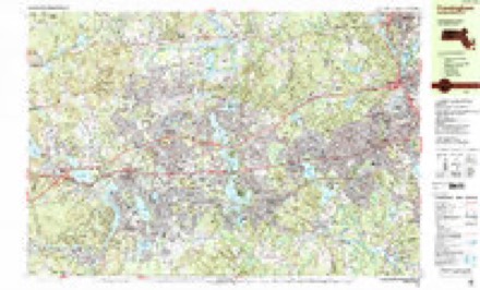
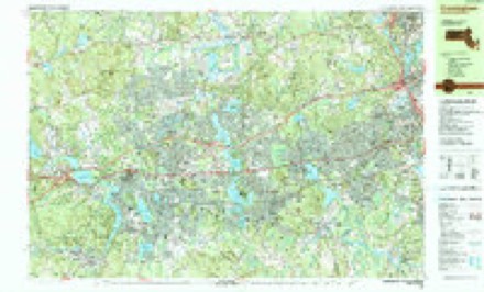
40 topographic sheets cover this place, the earliest surveyed in 1886 and the latest in 1989. It stands in Framingham City. It lies in ZIP code area 01702. It stands on Clark Hill. The Survey maps it on the Framingham quadrangle.
Then and now
1886 to 1989The same ground, surveyed 103 years apart. Drag the handle to wipe between them. Both sheets are United States Geological Survey originals; neither has been altered.

Topographic sheets covering this place
40 sheetsMatched by testing this settlement's coordinate against the published boundary of every sheet in the United States Geological Survey's historical collection. Each opens the scanned sheet at the Survey.
- 1886 USGS Framingham quadrangle1:62500
- 1889 USGS Framingham quadrangle1:62500
- 1894 USGS Framingham quadrangle1:62500
- 1894 USGS Framingham quadrangle1:62500
- 1894 USGS Framingham quadrangle1:62500
- 1894 USGS Framingham quadrangle1:62500
- 1894 USGS Framingham quadrangle1:62500
- 1894 USGS Framingham quadrangle1:62500
- 1894 USGS Framingham quadrangle1:62500
- 1894 USGS Framingham quadrangle1:62500
- 1894 USGS Framingham quadrangle1:62500
- 1894 USGS Framingham quadrangle1:62500
- 1894 USGS Framingham quadrangle1:62500
- 1918 USGS Framingham quadrangle1:62500
- 1918 USGS Framingham quadrangle1:62500
- 1943 USGS Boston quadrangle1:125000
- 1943 USGS Framingham quadrangle1:31680
- 1943 USGS Framingham quadrangle1:31680
- 1943 USGS Framingham quadrangle1:31680
- 1948 USGS Boston quadrangle1:250000
- 1948 USGS Boston quadrangle1:250000
- 1950 USGS Framingham quadrangle1:24000
- 1956 USGS Boston quadrangle1:250000
- 1956 USGS Boston quadrangle1:250000
- 1956 USGS Boston quadrangle1:250000
- 1956 USGS Boston quadrangle1:250000
- 1956 USGS Boston quadrangle1:250000
- 1956 USGS Boston quadrangle1:250000
- 1958 USGS Boston quadrangle1:250000
- 1958 USGS Boston quadrangle1:250000
- 1961 USGS Boston quadrangle1:250000
- 1961 USGS Boston quadrangle1:250000
- 1965 USGS Framingham quadrangle1:24000
- 1965 USGS Framingham quadrangle1:25000
- 1977 USGS Framingham quadrangle1:25000
- 1985 USGS Boston quadrangle1:100000
- 1987 USGS Framingham quadrangle1:25000
- 1987 USGS Framingham quadrangle1:25000
- 1989 USGS Boston quadrangle1:100000
- 1989 USGS Boston quadrangle1:100000
















In the county-history sources
30,115 words on this townshipHistory of Middlesex County, Massachusetts, with Biographical Sketches of Many of Its Pioneers and Prominent Men, published 1890 names this settlement in its chapter on Framingham City. These are the passages that mention it, exactly as the scans read.
May 22, 1701. The town "voted to give a call to Mr. John Swift to abide and settle with us, the inhabitants of Framingham, as our legal minister." Chose Abial l^amb, David Rice, Benjamin Bridges, John Town, John Haven, Peter Cloyce, Sen., Samuel Winch and Thomas Drury to give the call in behalf of the inhabitants.
Passage source: History of Middlesex County, Massachusetts, with Biographical Sketches of Many of Its Pioneers and Prominent Men, published 1890.
As a result of the contest about the ministerial land, growing out of the claim and seizure of said lands by the lessee of Mr. Danforth, a divided sentiment had obtained in the church, aggravated by difficulties with the first pastor. The settlement of a new minister was the occasion of the culmination of the alienated feeling. The majority was uncompromising, and the minority seceded and took steps which led to the organization of a .second Congregational Church in October, 174G. A small meeting-house was built, and Mr. Solomon Reed was ordained pastor of the new church in January, 1747. The new organization numbered over eighty members, and maintained a separate existence about ten years, when a part returned to the old church and a part united in forming the Fir.st Baptist Society in Framingham.
Passage source: History of Middlesex County, Massachusetts, with Biographical Sketches of Many of Its Pioneers and Prominent Men, published 1890.
Emigrations. - Framingham contributed largely of her enterprising inhabitants towards the planting of colonies at several new centres. A considerable number of our citizens became grantees of Oxford in 1713. Among them were Town, Barton, Elliott, Lamed, Gleason, Lamb and Stone. Some Mellen, How and Haven families removed to Hopkinton between 1715 and 1720. The Bents, Steveuses, Stones and Howes were among the early settlers of Rutland. Others become incorporated with Holliston in 1724, with Shrewsbury in 1727, with Grafton near the same date and with Templeton a few years later.
Passage source: History of Middlesex County, Massachusetts, with Biographical Sketches of Many of Its Pioneers and Prominent Men, published 1890.
Machine-read from a century-old scan, so expect the errors a machine makes: misspelled names, dropped words, stray characters.
Read the whole chapter on Framingham City - it names this place 97 more 97 times.
Fires near this place
136 since 2006Regional context, not property-specific evidence. The federal wildfire occurrence database lists 136 fires within 5 miles of Framingham between 2006 and 2020, burning about 58 acres in total. 3 started naturally. 6 were recorded as arson. Distance is straight-line from the map coordinates, so a fire counted here may appear on a neighbouring settlement's page as well.
| Reported cause | Fires |
|---|---|
| Debris and open burning | 54 |
| Missing data/not specified/undetermined | 42 |
| Recreation and ceremony | 11 |
| Power generation/transmission/distribution | 7 |
| Arson/incendiarism | 6 |
| Misuse of fire by a minor | 4 |
| Natural | 3 |
| Railroad operations and maintenance | 3 |
| Smoking | 3 |
| Other causes | 1 |
| Fireworks | 1 |
| Equipment and vehicle use | 1 |
The most recent of them, most recent first, with the day each was reported and the service that recorded it.
| Date | Cause | Size | Reported by | Name on the report |
|---|---|---|---|---|
| 8 September 2020 | Recreation and ceremony | under an acre | Massachusetts Bureau of Forest Fire Control | not named |
| 6 September 2019 | Recreation and ceremony | under an acre | Massachusetts Bureau of Forest Fire Control | not named |
| 5 September 2018 | Recreation and ceremony | under an acre | Massachusetts Bureau of Forest Fire Control | not named |
| 4 September 2018 | Missing data/not specified/undetermined | under an acre | Massachusetts Bureau of Forest Fire Control | not named |
| 3 September 2018 | Smoking | under an acre | Massachusetts Bureau of Forest Fire Control | not named |
| 3 September 2018 | Missing data/not specified/undetermined | under an acre | Massachusetts Bureau of Forest Fire Control | not named |
| 26 September 2020 | Debris and open burning | under an acre | Massachusetts Bureau of Forest Fire Control | not named |
| 23 September 2020 | Missing data/not specified/undetermined | under an acre | Massachusetts Bureau of Forest Fire Control | not named |
Settlements close enough to share some of these fires:
Specimens collected near this place
12 of 1,086 shownRegional context, not property-specific evidence. Museums hold 1,086 specimens collected within 10 miles of Framingham between 1898 and 1975: 845 Animalia, 167 Plantae, 70 Fungi, 4 Chromista. 12 distinct Species records are shown. Collected by A. B. Seymour, A. F. Newton, A. L. Bosworth and others. Each is a physical object with a catalogue number, and each entry opens the museum's record. This is what was collected and kept, not a survey of what lives here - nothing can be concluded from a species being absent.
| Image | Species | Year | Collected by | Where, as recorded |
|---|---|---|---|---|
 | Corvus brachyrhynchos brachyrhynchos C.L.Brehm, 1822 | 1900 | not recorded | Wayland |
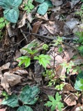 | Actaea pachypoda Elliott | 1898 | Ernest Charles Smith | |
 | Antennaria howellii subsp. canadensis (Greene) R.J.Bayer | 1898 | Williams, E.F. | |
 | Antennaria parlinii subsp. fallax (Greene) R.J.Bayer & Stebbins | 1898 | not recorded | |
 | Antennaria plantaginifolia (L.) Hook. | 1898 | not recorded | |
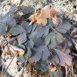 | Aquilegia canadensis L. | 1898 | M. I. Gunn | Natick |
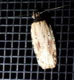 | Agonopterix atrodorsella Clemens, 1863 | 1900 | E. J. Smith | Sherborn |
 | Apantesis Walker, 1855 | 1900 | E. J. Smith | Sherborn |
 | Apatelodes torrefacta J.E.Smith, 1797 | 1900 | E. J. Smith | Sherborn |
| Araiospora pulchra Thaxt. | 1900 | Thaxter, Roland | Stony Brook, Mass. [Massachusetts] | |
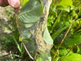 | Archips cerasivorana (Fitch, 1856) | 1900 | E. J. Smith | Sherborn |
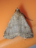 | Bleptina caradrinalis Guenée, 1854 | 1900 | E. J. Smith | Sherborn |
All 1,086 specimens within 10 miles, at the Global Biodiversity Information Facility.
Mines and quarries near this place
10 of 16 shownRegional context, not property-specific evidence. The federal mineral resources record lists 16 workings within 5 miles of Framingham: 10 past producers, 3 producers, 2 plants, 1 unknown. 5 still produce. What was taken out: Sand and Gravel, Construction, Granite, Iron, Stone, Crushed/Broken. Distance is straight-line from the map coordinates, so a quarry counted here may appear on a neighbouring settlement's page as well.
| Where | Site | Commodity | Status | Recorded |
|---|---|---|---|---|
| Ashland Quarry | Stone, Crushed/Broken | Producer | ||
| Hawkridge Bros--Ashland, Ma. | Iron | Plant | ||
| Panlini Loam Co | Peat | Past Producer | Peat | |
| Trimount Bituminous Prod | Granite | Past Producer | Granite | |
| Arthur Scofield Pit | Sand and Gravel, Construction | Past Producer | ||
| Ashland Plant | Sand and Gravel, Construction | Plant | ||
| Ashland Plant | Sand and Gravel, Construction | Past Producer | ||
| Ashland Sand and Gravel Co | Sand and Gravel, Construction | Past Producer | Sedimentary | |
| Framington Pit | Sand and Gravel, Construction | Past Producer | ||
| Hi-Way Pit and Mill | Sand and Gravel, Construction | Producer |
Storms near this place
30 since 1993Regional context, not property-specific evidence. The National Weather Service names Framingham in 30 storm reports between 1993 and 2024: 10 thunderstorm wind, 9 flood, 6 hail, 2 lightning. The reports record 1 injury. Each account below is quoted exactly as the forecast office filed it, from the NOAA Storm Events Database, and each date opens the federal record of that event.
| When | Event | Place named | Harm | What the report says |
|---|---|---|---|---|
| June 2010 | Thunderstorm Wind | Framingham | 1 hurt, $25,000 | Numerous trees and limbs were downed by thunderstorm winds on the south side of Framingham. A tree fell on a person on Beaver Street. The person sustained minor injuries. |
| August 2015 | Flood | Framingham | $75,000 | Pearl, Sanger, Waverly, Beech, Henry and Thompson Streets and Union Avenue were all flooded and impassable. Cars were stuck in flood waters on Union Avenue. Waverly Street was closed near Marble Street where several cars were stuck. Cars were stuck in flood waters on Route 9, Union Avenue, Beech Street, and Henry Street. The intersection of Bishop Street and Lawrence Street was closed. Several cars were stuck in flood waters. Parts of Route 9 were flooded with four to five feet of water. |
| September 2013 | Flash Flood | Framingham | $30,000 | Another round of heavy rain resulted in renewed flooding across Wellesley and Natick. Information on flooding in Wellesley can be found in a similar report for Norfolk County. In Natick, a car became stuck in flood waters on South Main Street. Flooding occurred under the Willow Bridge. Route 9 near the Natick Police Department, Pearl Street, and Plain Streets were all flooded and impassable. |
| May 2009 | Thunderstorm Wind | Framingham | $15,000 | A tree and wires on Hollis Street were downed by thunderstorm winds. |
| September 2013 | Flood | Framingham | $10,000 | Route 9 was flooded in both directions at Route 126, making Route 9 impassable. Speen Street at Cochituate Road was also flooded with a car stuck in the flood waters there. |
| July 2006 | Thunderstorm Wind | Framingham | $10,000 | no account filed |
| July 2005 | Lightning | Framingham | $10,000 | no account filed |
| July 2021 | Thunderstorm Wind | Framingham | $5,000 | In Natick, a tree was down on a house at 88 Kendall Lane. |
| November 2021 | Flood | Framingham | $5,000 | In Framingham, there was a public report (via MPING)- location unspecified - of a river/creek overflowing with cropland/yard/basement flooding. |
| August 2015 | Thunderstorm Wind | Framingham | $5,000 | A large tree was downed onto Winthrop Street at Bethany Road. |
| January 2014 | Lightning | Framingham | $3,000 | An isolated lightning strike blew the chimney off a house on Cherry Street. |
| June 2024 | Flash Flood | Framingham | - | In Framingham, a section of Rt 9 near Natick was flooded with 1 foot of water. |
| August 2023 | Flood | Framingham | - | In Framingham, parts of Henry St were flooded. |
| July 2021 | Flood | Framingham | - | In Framingham, Rt 9 (Worcester Rd) at Rt 126, as well as the ramps on Rt 126 were closed due to flooding. A car was stuck at this intersection. Also, Gates St at Parker Rd was impassable. |
| November 2018 | Flood | Framingham | - | In Framingham, Route 9 was closed at Oakcrest Drive due to flooding. |
| August 2015 | Flood | Framingham | - | Route 135 near Bishop Street was flooded with water up to the bottoms of car doors. |
| September 2015 | Flood | Framingham | - | Route 9 was closed due to flooding at Route 126. |
| February 2008 | Flood | Framingham | - | Route 30 near Cochituate Road was flooded. |
| July 2007 | Thunderstorm Wind | Framingham | - | Thunderstorms produced weak wet microbursts across the Southern portion of Middlesex County on the afternoon on the 29th. Trees were downed in Framingham where a tree split a car in half. Trees were also downed in Sherborn and Ashland which resulted in power outages. |
| July 2007 | Thunderstorm Wind | Framingham | - | Large limbs down blocking Leeland Street. |
| August 1993 | Thunderstorm Wind | Framingham | - | Numerous wires and trees down in Framingham...especially the south side of town. Lightning caused a fire resulting in extensive damage to a home. Additionally, there were unconfirmed funnel cloud sightings this evening in Arlington Heights, Concord and Stoneham and in all of Boston's north and northwest suburbs. There were numerous reports of pea- to marble-size hail from southeast Middlesex and southern Essex Counties between 1744 EST and approximately 1945 EST, mainly from the northwest to northeast of Boston. Lightning caused numerous power outages and fires but were unable to be detailed due to unknown times and lack of detailed data. Torrential rains fell in parts of Boston's northern suburbs near Route 128. |
| August 2015 | Hail | Framingham | - | no account filed |
| May 2006 | Hail | Framingham | - | no account filed |
| May 2006 | Hail | Framingham | - | no account filed |
| July 2006 | Hail | Framingham | - | no account filed |
| July 2006 | Hail | Framingham | - | no account filed |
| May 2001 | Thunderstorm Wind | Framingham | - | no account filed |
| June 2000 | Hail | Framingham | - | no account filed |
| June 2000 | Thunderstorm Wind | Framingham | - | no account filed |
| January 1999 | Heavy Rain | Framingham | - | no account filed |
Nearest settlements
The eight closest, with where each one stands in the county. Distances are straight-line, computed from the Geographic Names Information System coordinates.
| Map | Place | Distance | Sheets |
|---|---|---|---|
| Coburnville | 1.1 miles | 40 | |
| Lokerville | 1.2 miles | 40 | |
| Framingham Center | 1.7 miles | 40 | |
| West Natick | 2.0 miles | 40 | |
| Workmans Circle Camp | 2.3 miles | 41 | |
| Whitneys | 2.7 miles | 41 | |
| Ashland | 2.8 miles | 40 | |
| Felchville | 3.3 miles | 46 |
Provenance
This settlement is recorded in the Geographic Names Information System as feature 611641. The sheet list is computed by point-in-boundary test against the United States Geological Survey's historical topographic inventory. Both are works of the United States government and carry no copyright under 17 U.S.C. 105.
Wildfire. Short, Karen C. 2022. Spatial wildfire occurrence data for the United States, 1992-2020 [FPA_FOD_20221014]. 6th Edition. Fort Collins, CO: Forest Service Research Data Archive. https://doi.org/10.2737/RDS-2013-0009.6 Collected with United States Government funding and usable without additional permissions or fees.
Specimens. Global Biodiversity Information Facility (GBIF), https://www.gbif.org/. Only records licensed CC0 or CC BY are used. Records licensed CC BY-NC are excluded because this site carries advertising. Images are checked individually and any whose licence is non-commercial, no-derivatives or unreadable is refused.
Mines and quarries. USGS Mineral Resources Data System (MRDS) https://mrdata.usgs.gov/mrds/ A work of the United States government, no copyright under 17 U.S.C. 105.
Storms. NOAA National Centers for Environmental Information, Storm Events Database https://www.ncei.noaa.gov/stormevents/ A work of the United States government, no copyright under 17 U.S.C. 105. Narratives are quoted verbatim from the National Weather Service report and are not edited or summarised.