 Block
Block
East Holliston, Massachusetts
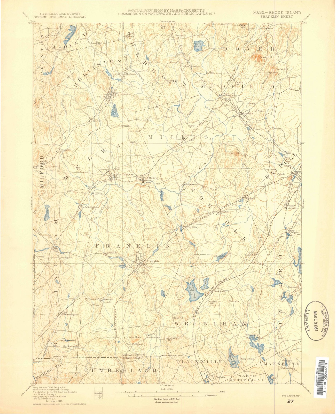
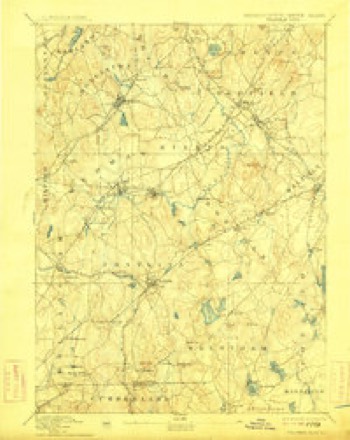
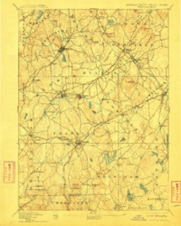
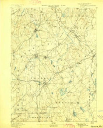
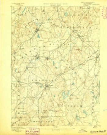
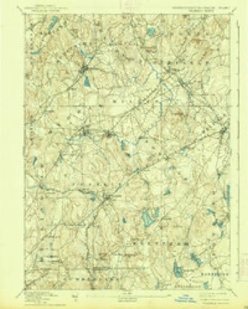
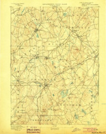
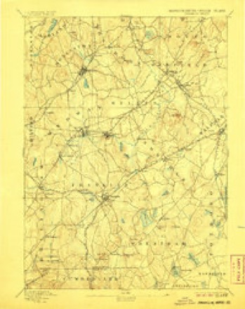
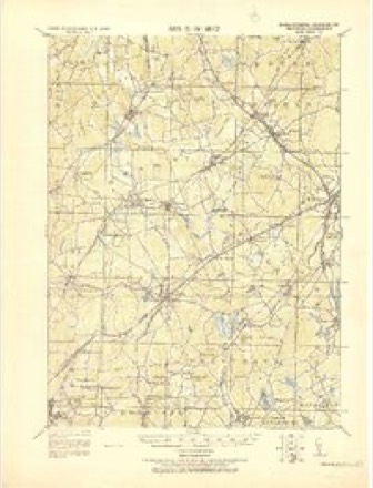
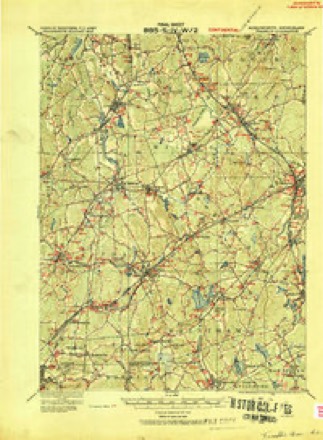
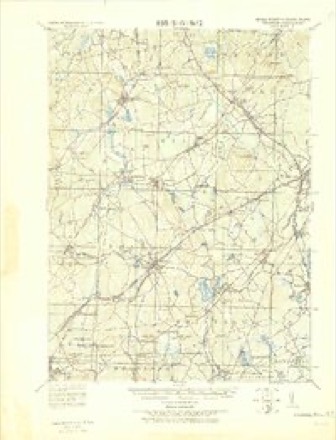
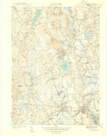
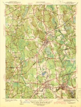
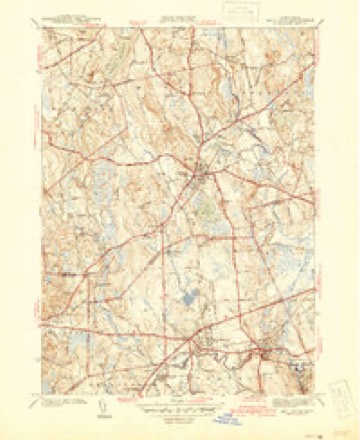
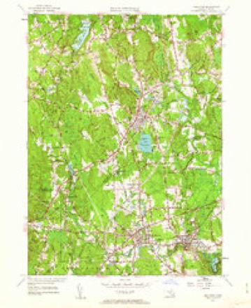
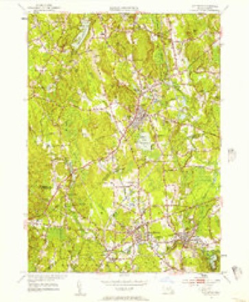
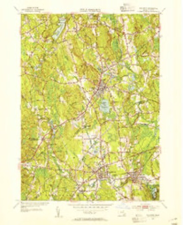
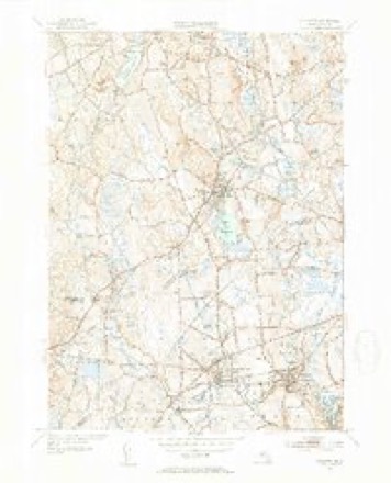
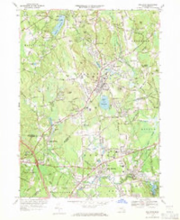
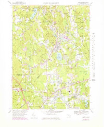
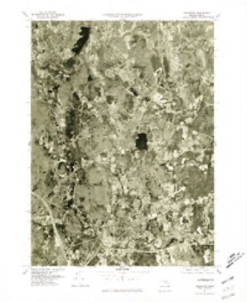
41 topographic sheets cover this place, the earliest surveyed in 1887 and the latest in 1989. It stands in Holliston town. It lies in ZIP code area 01746. It stands on Jar Brook. The Survey maps it on the Holliston quadrangle.
Then and now
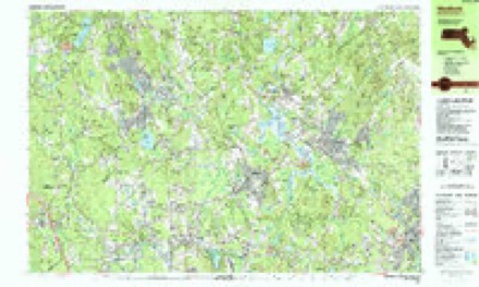
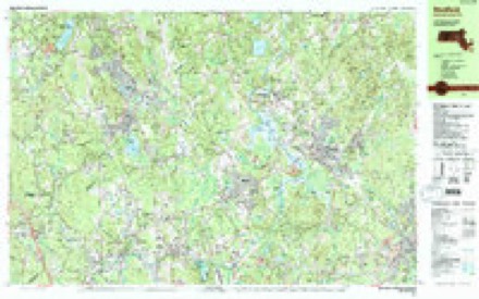
1887 to 1989The same ground, surveyed 102 years apart. Drag the handle to wipe between them. Both sheets are United States Geological Survey originals; neither has been altered.

Topographic sheets covering this place
41 sheetsMatched by testing this settlement's coordinate against the published boundary of every sheet in the United States Geological Survey's historical collection. Each opens the scanned sheet at the Survey.
- 1887 USGS Franklin quadrangle1:62500
- 1889 USGS Franklin quadrangle1:62500
- 1893 USGS Franklin quadrangle1:62500
- 1893 USGS Franklin quadrangle1:62500
- 1893 USGS Franklin quadrangle1:62500
- 1893 USGS Franklin quadrangle1:62500
- 1893 USGS Franklin quadrangle1:62500
- 1893 USGS Franklin quadrangle1:62500
- 1893 USGS Franklin quadrangle1:62500
- 1893 USGS Franklin quadrangle1:62500
- 1919 USGS Franklin quadrangle1:62500
- 1919 USGS Franklin quadrangle1:62500
- 1921 USGS Franklin quadrangle1:62500
- 1941 USGS Holliston quadrangle1:31680
- 1942 USGS Holliston quadrangle1:31680
- 1942 USGS Holliston quadrangle1:31680
- 1943 USGS Boston quadrangle1:125000
- 1948 USGS Boston quadrangle1:250000
- 1948 USGS Boston quadrangle1:250000
- 1953 USGS Holliston quadrangle1:24000
- 1953 USGS Holliston quadrangle1:24000
- 1953 USGS Holliston quadrangle1:31680
- 1953 USGS Holliston quadrangle1:31680
- 1956 USGS Boston quadrangle1:250000
- 1956 USGS Boston quadrangle1:250000
- 1956 USGS Boston quadrangle1:250000
- 1956 USGS Boston quadrangle1:250000
- 1956 USGS Boston quadrangle1:250000
- 1956 USGS Boston quadrangle1:250000
- 1958 USGS Boston quadrangle1:250000
- 1958 USGS Boston quadrangle1:250000
- 1961 USGS Boston quadrangle1:250000
- 1961 USGS Boston quadrangle1:250000
- 1969 USGS Holliston quadrangle1:24000
- 1969 USGS Holliston quadrangle1:25000
- 1977 USGS Holliston quadrangle1:25000
- 1985 USGS Boston quadrangle1:100000
- 1987 USGS Medfield quadrangle1:25000
- 1987 USGS Medfield quadrangle1:25000
- 1989 USGS Boston quadrangle1:100000
- 1989 USGS Boston quadrangle1:100000
















In the county-history sources
22,152 words on this townshipHistory of Middlesex County, Massachusetts, with Biographical Sketches of Many of Its Pioneers and Prominent Men, published 1890 names this settlement in its chapter on Holliston Town. These are the passages that mention it, exactly as the scans read.
The inhabitants of Sherborn were about to erect a new meeting-house, and those residing in the western part of the town (now Holliston) were strenuous in their endeavors to have it placed ou a spot which should accommodate them. The town endeavored to respond to this reasonable request. On March 6, 1723, the qualified voters met at the meeting-house, and immediately adjourned to meet at " the platt, seventy or six-score rods Easterly from Dirty Meadow bridge, or Thereabouts" (about half a mile east of the railroad station, in East Holliston), when and where it was unanimously voted by all present, "that a meeting-hohse be built for the town to worship God in, on Lord's Days, upon a certain hill by the road side, . . . so that the town remain together for the strengthening thereof." November 18, 1723, the inhabitants "voted to nullifie and make void this vote of March sixth, in consideration that the Form and Situation of the Town is so ill Convenient that one Meeling-House Cannot be so placed as to Suit the Whole town, but that in time there will be need of two to accommodate the Inhabitants." And £160 was granted to defray the cost of a new meetinghouse on the old site. This was, without doubt, a sensible decision, and subsequent events have so proved it.
Passage source: History of Middlesex County, Massachusetts, with Biographical Sketches of Many of Its Pioneers and Prominent Men, published 1890.
Several old cemeteries are found in HollLston, and they were established at different periods, according to the locations of the inhabitants and their requirements for burial-places. The oldest is the Central Cemetery, near the first church and the town-house, where several of the early ministers are interred. There is also quite an old cemetery at the north part of the town, one inthe western portion, two at Braggville, andoneat East Holliston. Glenmount Cemetery was laid out some years since inthe eastern quarter of the town, but is not at all used at present. Although some of these cemeteries are not without rural attractions, yet most of them are limited in space and belong to the old order of burying-grounds. In a cultivated community like this there was therefore a natural desire for a more extensive location, and one which should be capable of more ornamentation. And accordingly a plot was selected on the banks of Lake Winthrop, containing thirty acres. It contains a grove, which, with the water-view of the lake audits islands, forms a diversified and beautiful si>ot for the interment of the dead, and one which is attractive and pleasant to the minds of the living. It was incorporated in 1859 as Lake Grove Cemetery, and was consecrated June 1, 1860, Rev. J. C. Bodwell, of Framingham, delivering an eloquent address, and Rev. Dr. Tucker the consecrating prayer. It contains more than three hundred burial lots, many of which are tastefully adorned, and there are several hundred not yet laid out. Beautiful monuments have been erected near the graves, and the entire enclosure is an honor to the town. It has always, since its opening, continued to be a favorite place for interment, and
Passage source: History of Middlesex County, Massachusetts, with Biographical Sketches of Many of Its Pioneers and Prominent Men, published 1890.
" For the extinguishment of fires and for domestic and other purposes," the Holliston Water Company was incorporated in the year 1884, for the supply of pure water to the inhabitants of the town. The charter was renewed in 1887, and the company is now busily at work, in 1890, with the expectation of introducing the water before the close of the year. The water is obtained from springs in an immense well excavated for the purpose, in East Holliston. The overflow will be collected in an artificial lake, and a stand-pipe on Mt. Hollis will give the desired " head" to the water. Mr. John D. Shippee is the manager, and he is energetically prosecuting the work. The work of laying the pipes for conveying the water to the stand-pipe was commenced early in September, 1890. Mr. Z. Talbot has been the treasurer of the company from the beginning, in 1884.
Passage source: History of Middlesex County, Massachusetts, with Biographical Sketches of Many of Its Pioneers and Prominent Men, published 1890.
Machine-read from a century-old scan, so expect the errors a machine makes: misspelled names, dropped words, stray characters.
Fires near this place
101 since 2016Regional context, not property-specific evidence. The federal wildfire occurrence database lists 101 fires within 5 miles of East Holliston between 2016 and 2020, burning about 44 acres in total. 3 started naturally. 4 were recorded as arson. Distance is straight-line from the map coordinates, so a fire counted here may appear on a neighbouring settlement's page as well.
| Reported cause | Fires |
|---|---|
| Debris and open burning | 50 |
| Missing data/not specified/undetermined | 21 |
| Recreation and ceremony | 9 |
| Power generation/transmission/distribution | 7 |
| Arson/incendiarism | 4 |
| Natural | 3 |
| Railroad operations and maintenance | 3 |
| Misuse of fire by a minor | 2 |
| Fireworks | 1 |
| Equipment and vehicle use | 1 |
The most recent of them, most recent first, with the day each was reported and the service that recorded it.
| Date | Cause | Size | Reported by | Name on the report |
|---|---|---|---|---|
| 8 September 2020 | Recreation and ceremony | under an acre | Massachusetts Bureau of Forest Fire Control | not named |
| 6 September 2019 | Recreation and ceremony | under an acre | Massachusetts Bureau of Forest Fire Control | not named |
| 5 September 2018 | Recreation and ceremony | under an acre | Massachusetts Bureau of Forest Fire Control | not named |
| 26 September 2020 | Debris and open burning | under an acre | Massachusetts Bureau of Forest Fire Control | not named |
| 24 September 2019 | Power generation/transmission/distribution | under an acre | Massachusetts Bureau of Forest Fire Control | not named |
| 17 September 2020 | Missing data/not specified/undetermined | under an acre | Massachusetts Bureau of Forest Fire Control | not named |
| 1 September 2017 | Missing data/not specified/undetermined | under an acre | Massachusetts Bureau of Forest Fire Control | ASHLAND |
| 1 September 2017 | Arson/incendiarism | under an acre | Massachusetts Bureau of Forest Fire Control | SHERBORN |
Settlements close enough to share some of these fires:
Specimens collected near this place
12 of 954 shownRegional context, not property-specific evidence. Museums hold 954 specimens collected within 10 miles of East Holliston between 1898 and 1975: 755 Animalia, 151 Plantae, 47 Fungi, 1 Chromista. 12 distinct Species records are shown. Collected by A. L. Bosworth, A. M. Ottley, A. Strong and others. Each is a physical object with a catalogue number, and each entry opens the museum's record. This is what was collected and kept, not a survey of what lives here - nothing can be concluded from a species being absent.
| Image | Species | Year | Collected by | Where, as recorded |
|---|---|---|---|---|
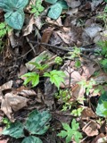 | Actaea pachypoda Elliott | 1898 | Ernest Charles Smith | |
 | Antennaria howellii subsp. canadensis (Greene) R.J.Bayer | 1898 | Williams, E.F. | |
 | Antennaria parlinii subsp. fallax (Greene) R.J.Bayer & Stebbins | 1898 | not recorded | |
 | Antennaria plantaginifolia (L.) Hook. | 1898 | not recorded | |
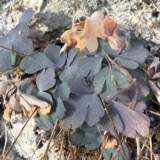 | Aquilegia canadensis L. | 1898 | M. I. Gunn | Natick |
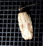 | Agonopterix atrodorsella Clemens, 1863 | 1900 | E. J. Smith | Sherborn |
 | Apantesis Walker, 1855 | 1900 | E. J. Smith | Sherborn |
 | Apatelodes torrefacta J.E.Smith, 1797 | 1900 | E. J. Smith | Sherborn |
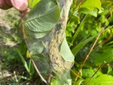 | Archips cerasivorana (Fitch, 1856) | 1900 | E. J. Smith | Sherborn |
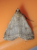 | Bleptina caradrinalis Guenée, 1854 | 1900 | E. J. Smith | Sherborn |
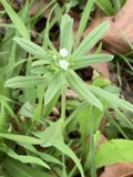 | Buglossoides arvensis (L.) I.M.Johnst. | 1900 | C. H. Knowlton | Natick. |
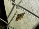 | Caenurgina crassiuscula Haworth, 1809 | 1900 | E. J. Smith | Sherborn |
All 954 specimens within 10 miles, at the Global Biodiversity Information Facility.
Mines and quarries near this place
10 of 28 shownRegional context, not property-specific evidence. The federal mineral resources record lists 28 workings within 5 miles of East Holliston: 22 past producers, 3 producers, 3 plants. 6 still produce. What was taken out: Sand and Gravel, Construction, Granite, Stone, Crushed/Broken, Iron. Distance is straight-line from the map coordinates, so a quarry counted here may appear on a neighbouring settlement's page as well.
| Where | Site | Commodity | Status | Recorded |
|---|---|---|---|---|
| Hawkridge Bros--Ashland, Ma. | Iron | Plant | ||
| Ashland Quarry | Stone, Crushed/Broken | Producer | ||
| Holliston Plant | Stone, Crushed/Broken | Plant | ||
| Castellucci and Sons | Granite | Past Producer | Granite | |
| Milford Pink Granite Quarry | Granite | Past Producer | ||
| Simeone Stone Corp | Granite | Past Producer | Granite | |
| Trimount Bituminous Prod | Granite | Past Producer | Granite | |
| Ashland Plant | Sand and Gravel, Construction | Plant | ||
| Ashland Plant | Sand and Gravel, Construction | Past Producer | ||
| Ashland Sand and Gravel Co | Sand and Gravel, Construction | Past Producer | Sedimentary |
Storms near this place
1 since 2022Regional context, not property-specific evidence. The National Weather Service names East Holliston in 1 storm report between 2022 and 2022: 1 flood. No death or injury is recorded in these reports. Each account below is quoted exactly as the forecast office filed it, from the NOAA Storm Events Database, and each date opens the federal record of that event.
| When | Event | Place named | Harm | What the report says |
|---|---|---|---|---|
| September 2022 | Flood | East Holliston | - | In Holliston, a portion of Concord St. (Rt. 126) was flooded and even public safety vehicles were advised to avoid the area. Relayed by amateur radio. |
Nearest settlements
The eight closest, with where each one stands in the county. Distances are straight-line, computed from the Geographic Names Information System coordinates.
| Map | Place | Distance | Sheets |
|---|---|---|---|
| Holliston | 0.9 miles | 41 | |
| Gooch Corners | 1.1 miles | 41 | |
| Whitneys | 2.1 miles | 41 | |
| Metcalf | 2.4 miles | 41 | |
| Workmans Circle Camp | 2.7 miles | 41 | |
| Camp Bob White | 2.7 miles | 41 | |
| Sherborn | 3.2 miles | 43 | |
| South Sherborn | 3.5 miles | 43 |
Elsewhere
Matched on this settlement's Geographic Names Information System number rather than its name, so it cannot be a different place of the same name in another state.
| Wikidata item Q122548391 | The structured record the population and elevation above come from. Public domain (CC0). |
Provenance
This settlement is recorded in the Geographic Names Information System as feature 611682. The sheet list is computed by point-in-boundary test against the United States Geological Survey's historical topographic inventory. Both are works of the United States government and carry no copyright under 17 U.S.C. 105.
Wildfire. Short, Karen C. 2022. Spatial wildfire occurrence data for the United States, 1992-2020 [FPA_FOD_20221014]. 6th Edition. Fort Collins, CO: Forest Service Research Data Archive. https://doi.org/10.2737/RDS-2013-0009.6 Collected with United States Government funding and usable without additional permissions or fees.
Specimens. Global Biodiversity Information Facility (GBIF), https://www.gbif.org/. Only records licensed CC0 or CC BY are used. Records licensed CC BY-NC are excluded because this site carries advertising. Images are checked individually and any whose licence is non-commercial, no-derivatives or unreadable is refused.
Mines and quarries. USGS Mineral Resources Data System (MRDS) https://mrdata.usgs.gov/mrds/ A work of the United States government, no copyright under 17 U.S.C. 105.
Storms. NOAA National Centers for Environmental Information, Storm Events Database https://www.ncei.noaa.gov/stormevents/ A work of the United States government, no copyright under 17 U.S.C. 105. Narratives are quoted verbatim from the National Weather Service report and are not edited or summarised.