 Block
Block
Somerville, Massachusetts
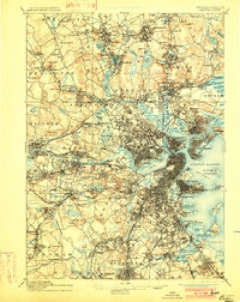
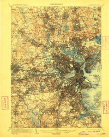
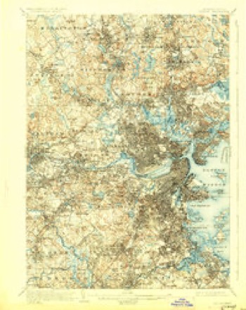
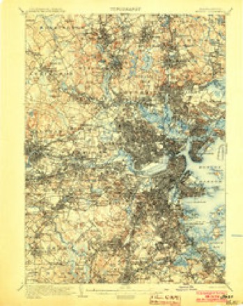
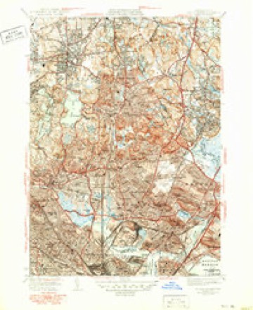
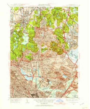
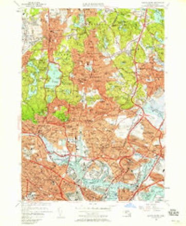
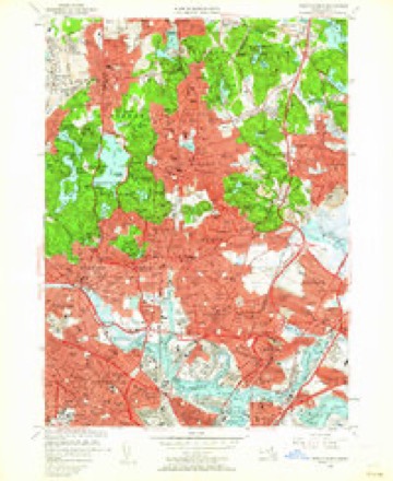
46 topographic sheets cover this place, the earliest surveyed in 1893 and the latest in 1989. It stands in Somerville City. It lies in ZIP code area 02143. It stands on Prospect Hill. The Survey maps it on the Boston North quadrangle. 81,045 people lived here at the 2020 count. It stands 13 feet above sea level.
Population over time
3 figuresSomerville grew from 3,540 to 81,045 between 1850 and 2020. These are the recorded population figures Wikidata holds for this place, reached through the Geographic Names Information System number this page is keyed on rather than by name, so they belong to this place and not to another of the same name. Most are census counts, but not all are: an early figure may be a founding or settlement estimate. The change column is computed, and is left blank where more than 20 years separate a figure from the one before it, because a gap that long is not a change between two counts.
| Year | People | Change |
|---|---|---|
| 1850 | 3,540 | |
| 2010 | 75,754 | |
| 2020 | 81,045 | +5,291 (+7%) |
Then and now
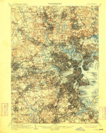
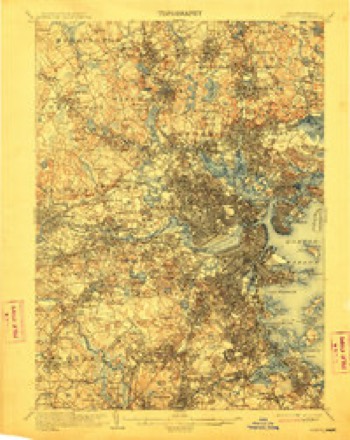
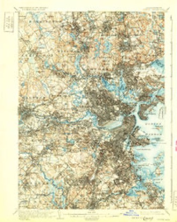
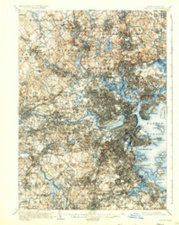
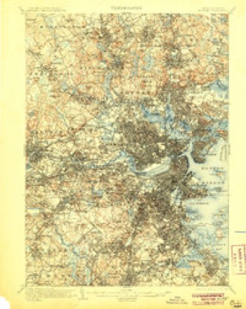
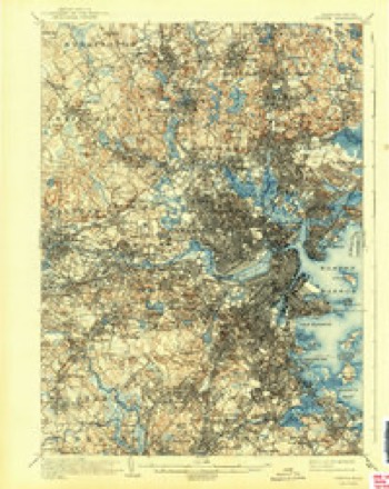
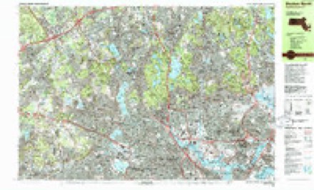
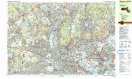
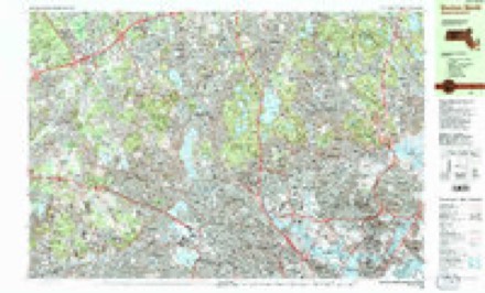
1893 to 1989The same ground, surveyed 96 years apart. Drag the handle to wipe between them. Both sheets are United States Geological Survey originals; neither has been altered.

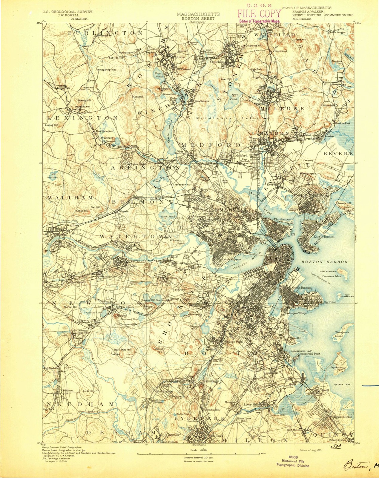
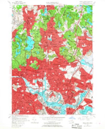
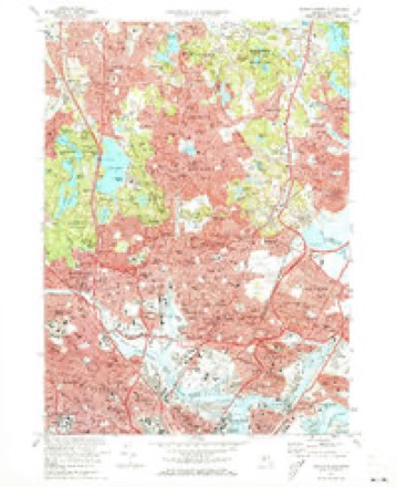
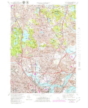
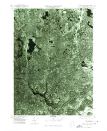
Topographic sheets covering this place
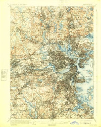
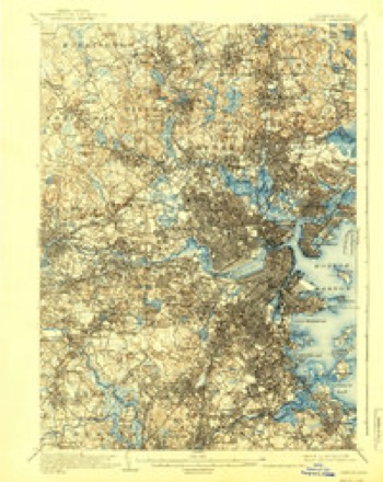
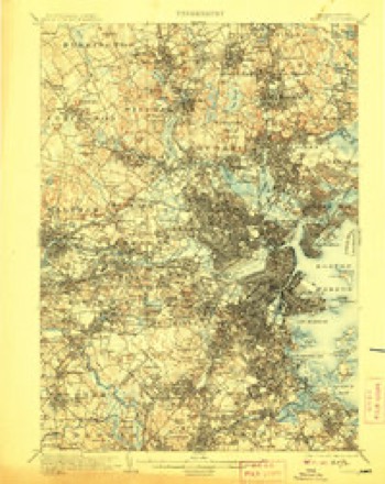
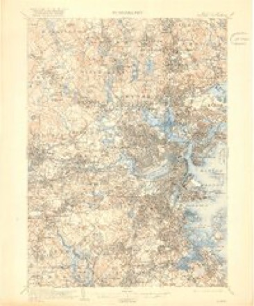
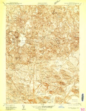
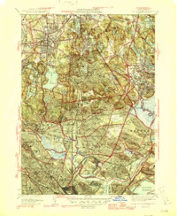
46 sheetsMatched by testing this settlement's coordinate against the published boundary of every sheet in the United States Geological Survey's historical collection. Each opens the scanned sheet at the Survey.
- 1893 USGS Boston quadrangle1:62500
- 1893 USGS Boston quadrangle1:62500
- 1893 USGS Boston quadrangle1:62500
- 1893 USGS Boston quadrangle1:62500
- 1903 USGS Boston quadrangle1:62500
- 1903 USGS Boston quadrangle1:62500
- 1903 USGS Boston quadrangle1:62500
- 1903 USGS Boston quadrangle1:62500
- 1903 USGS Boston quadrangle1:62500
- 1903 USGS Boston quadrangle1:62500
- 1903 USGS Boston quadrangle1:62500
- 1903 USGS Boston quadrangle1:62500
- 1903 USGS Boston quadrangle1:62500
- 1903 USGS Boston quadrangle1:62500
- 1903 USGS Boston quadrangle1:62500
- 1903 USGS Boston quadrangle1:62500
- 1903 USGS Boston quadrangle1:62500
- 1943 USGS Boston quadrangle1:125000
- 1943 USGS Boston North quadrangle1:24000
- 1946 USGS Boston North quadrangle1:31680
- 1946 USGS Boston North quadrangle1:31680
- 1948 USGS Boston quadrangle1:250000
- 1948 USGS Boston quadrangle1:250000
- 1949 USGS Boston North quadrangle1:31680
- 1956 USGS Boston quadrangle1:250000
- 1956 USGS Boston quadrangle1:250000
- 1956 USGS Boston quadrangle1:250000
- 1956 USGS Boston quadrangle1:250000
- 1956 USGS Boston quadrangle1:250000
- 1956 USGS Boston quadrangle1:250000
- 1956 USGS Boston North quadrangle1:24000
- 1956 USGS Boston North quadrangle1:24000
- 1956 USGS Boston North quadrangle1:24000
- 1958 USGS Boston quadrangle1:250000
- 1958 USGS Boston quadrangle1:250000
- 1961 USGS Boston quadrangle1:250000
- 1961 USGS Boston quadrangle1:250000
- 1971 USGS Boston North quadrangle1:24000
- 1971 USGS Boston North quadrangle1:25000
- 1977 USGS Boston North quadrangle1:25000
- 1985 USGS Boston quadrangle1:100000
- 1985 USGS Boston North quadrangle1:25000
- 1985 USGS Boston North quadrangle1:25000
- 1985 USGS Boston North quadrangle1:25000
- 1989 USGS Boston quadrangle1:100000
- 1989 USGS Boston quadrangle1:100000
















In the county-history sources
55,107 words on this townshipHistory of Middlesex County, Massachusetts : Containing Carefully Prepared Histories of Every City and Town in the County, published 1880 names this settlement in its chapter on Somerville City. These are the passages that mention it, exactly as the scans read.
The surface is uneven, and rises into no less than eight considerable elevations, of which Prospect, Winter, Spring, and Central hills, and Mount Benedict are the principal. The soil is various, and in many places excellent for cultivation. Good sand for building purposes is abundant, and a vein of clay, suitable for brickmaking, underlies much of the surface. The only stratified rock to be found in Somerville is slate. The intrusive rocks, cropping out in numerous ledges, in which occur an unusual variety of minerals, are entirely diabase. The formation is particularly rich in dikes.
Passage source: History of Middlesex County, Massachusetts : Containing Carefully Prepared Histories of Every City and Town in the County, published 1880.
At the founding of Charlestown in 1628, and for the first ten years, the area of the peninsula generally sufficed for the wants of the settlers; but when, in 1637, land became so scarce within the neck tiiat new-comers were rarely granted more than a citizensliip, purchases were made of the Indians, and settlements began to extend upon the mainland. Tiie territory north and east of the Charles River was then owned by the Pawtucket Indians ; and by payment of thirty-six shillings in 16-37, and twenty-one coats, nineteen fathoms of wampum, and three bushels of corn, two years later to Squa Sachem and Webcowit, rulers of the tribe, the latter were well satisfied to relinquish to the town of Charlestown all the territory that is now Somerville. A few settlers had established themselves on the mainland from the earliest period.
Passage source: History of Middlesex County, Massachusetts : Containing Carefully Prepared Histories of Every City and Town in the County, published 1880.
In 1631 Governor Winthrop was granted six hundred acres on the Mystic Eiver, to which, from the ten elevations upon it, he gave the name of Tlie Ten Hills Farm. Here he had built a house, at some time previous, which was supposed by Savage to liave been the governor's country residence. The mansion-house, recently demolished, is presumed to have marked the site of tliis earlier building.
Passage source: History of Middlesex County, Massachusetts : Containing Carefully Prepared Histories of Every City and Town in the County, published 1880.
Machine-read from a century-old scan, so expect the errors a machine makes: misspelled names, dropped words, stray characters.
Read the whole chapter on Somerville City - it names this place 110 more 110 times.
Fires near this place
81 since 2015Regional context, not property-specific evidence. The federal wildfire occurrence database lists 81 fires within 5 miles of Somerville between 2015 and 2020, burning about 109 acres in total. None started naturally. 29 were recorded as arson. Distance is straight-line from the map coordinates, so a fire counted here may appear on a neighbouring settlement's page as well.
| Reported cause | Fires |
|---|---|
| Arson/incendiarism | 29 |
| Missing data/not specified/undetermined | 21 |
| Recreation and ceremony | 12 |
| Debris and open burning | 11 |
| Smoking | 6 |
| Equipment and vehicle use | 1 |
| Misuse of fire by a minor | 1 |
The most recent of them, most recent first, with the day each was reported and the service that recorded it.
| Date | Cause | Size | Reported by | Name on the report |
|---|---|---|---|---|
| 4 September 2018 | Missing data/not specified/undetermined | under an acre | Massachusetts Bureau of Forest Fire Control | not named |
| 4 September 2018 | Missing data/not specified/undetermined | under an acre | Massachusetts Bureau of Forest Fire Control | not named |
| 3 September 2018 | Missing data/not specified/undetermined | under an acre | Massachusetts Bureau of Forest Fire Control | not named |
| 23 September 2019 | Missing data/not specified/undetermined | under an acre | Massachusetts Bureau of Forest Fire Control | not named |
| 23 September 2019 | Missing data/not specified/undetermined | under an acre | Massachusetts Bureau of Forest Fire Control | not named |
| 22 September 2019 | Missing data/not specified/undetermined | under an acre | Massachusetts Bureau of Forest Fire Control | not named |
| 21 September 2020 | Missing data/not specified/undetermined | under an acre | Massachusetts Bureau of Forest Fire Control | not named |
| 2 September 2018 | Equipment and vehicle use | under an acre | Massachusetts Bureau of Forest Fire Control | BROOKLINE |
Settlements close enough to share some of these fires:
Specimens collected near this place
12 of 1,857 shownRegional context, not property-specific evidence. Museums hold 1,857 specimens collected within 10 miles of Somerville between 1898 and 1975: 821 Animalia, 572 Plantae, 400 Fungi, 27 Protozoa, 17 Bacteria, 12 Chromista, 8 Unrecorded. 12 distinct Species records are shown. Collected by ?, A B Seymour, A B. Proper and others. Each is a physical object with a catalogue number, and each entry opens the museum's record. This is what was collected and kept, not a survey of what lives here - nothing can be concluded from a species being absent.
| Image | Species | Year | Collected by | Where, as recorded |
|---|---|---|---|---|
 | Trientalis borealis Raf. | 1900 | A. P. Chute | |
| Aglaospora profusa (Fr.) De Not. | 1898 | Collector unspecified | ||
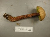 | Boletellus russellii (Frost) E.-J.Gilbert | 1898 | H. Webster | |
 | Boletus peckii Frost | 1898 | H. Webster | Edge of Reservation |
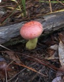 | Boletus speciosus Frost | 1898 | J. R. Webster | |
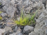 | Bulbostylis capillaris var. crebra Fernald | 1898 | C. H. Knowlton | Boston. |
 | Cantharellus cinnabarinus (Schwein.) Schwein. | 1898 | not recorded | Newton. |
 | Cantharellus infundibuliformis (Scop.) Fr. | 1898 | not recorded | Melrose. |
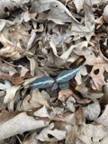 | Chimaphila maculata (L.) Pursh | 1898 | Nathaniel T. Kidder | Milton |
 | Cladonia coccifera (L.) Willd. | 1898 | Francis P Daniels | Cambridge |
 | Acanthis flammea flammea (Linnaeus, 1758) | 1900 | ZAPPEY, W R | ROSLINDALE |
 | Acer carpinifolium Siebold & Zucc. | 1900 | A. K. Harrison | Harvard Botanic Garden, Cambridge. |
All 1,857 specimens within 10 miles, at the Global Biodiversity Information Facility.
Mines and quarries near this place
10 of 12 shownRegional context, not property-specific evidence. The federal mineral resources record lists 12 workings within 5 miles of Somerville: 9 plants, 2 past producers, 1 producer. 10 still produce. What was taken out: Iron, Lead, Gypsum-Anhydrite, Sand and Gravel, Construction. Distance is straight-line from the map coordinates, so a quarry counted here may appear on a neighbouring settlement's page as well.
| Where | Site | Commodity | Status | Recorded |
|---|---|---|---|---|
| (Facility) Vulcan Smelter--Chelsea, Ma. | Copper, Lead | Plant | ||
| C. J. Mabardy | Sand and Gravel, Construction | Past Producer | ||
| Malden Quarry | Stone, Crushed/Broken | Producer | ||
| Syncor Prdts Co--Malden, Ma. | Silica | Plant | ||
| Us Gypsum Co--Boston | Gypsum-Anhydrite | Past Producer | ||
| Whittemore Prdts Inc--Boston | Perlite | Plant | ||
| (Facility) Cambridge Smelter Co | Lead | Plant | ||
| General Metals & Smelting--Boston | Lead | Plant | ||
| Industrial Serv. Centers--Cambridge | Iron | Plant | ||
| Somerville Smelting Co. | Lead | Plant |
Storms near this place
7 since 2006Regional context, not property-specific evidence. The National Weather Service names Somerville in 7 storm reports between 2006 and 2021: 5 thunderstorm wind, 2 flood. No death or injury is recorded in these reports. Each account below is quoted exactly as the forecast office filed it, from the NOAA Storm Events Database, and each date opens the federal record of that event.
| When | Event | Place named | Harm | What the report says |
|---|---|---|---|---|
| December 2014 | Flood | Somerville | $30,000 | Water flooded Medford Street up to the roof of a vehicle. Two vehicles were stuck in flood waters on Medford Street. In addition, a large sinkhole opened up as a result of the flooding. This resulted in the street closing through Wednesday, December 10 while crews figured out how to repair the sinkhole. |
| July 2006 | Thunderstorm Wind | Somerville | $10,000 | no account filed |
| June 2017 | Thunderstorm Wind | Somerville | $4,000 | At 427 PM EST, a member of the public reported several trees uprooted in the Winter Hill section of Somerville. |
| June 2017 | Thunderstorm Wind | Somerville | $1,500 | At 428 PM EST, a tree and wires were reported down on Heath Street in Somerville. |
| June 2017 | Thunderstorm Wind | Somerville | $1,500 | At 429 PM EST, a tree and wires were downed on Bow Street in Medford. |
| August 2021 | Thunderstorm Wind | Somerville | $500 | In Somerville, a tree was down on the 40 block of Derby St. |
| October 2018 | Flood | Somerville | - | Water bursting out of manhole covers on Mystic Avenue, south of Route 16. |
Nearest settlements
The eight closest, with where each one stands in the county. Distances are straight-line, computed from the Geographic Names Information System coordinates.
| Map | Place | Distance | Sheets |
|---|---|---|---|
| Spring Hill | 0.5 miles | 46 | |
| Winter Hill | 0.6 miles | 46 | |
| East Somerville | 0.7 miles | 46 | |
| Ten Hills | 0.9 miles | 46 | |
| Cambridge | 0.9 miles | 46 | |
| Old Cambridge | 1.1 miles | 46 | |
| Avon Hill | 1.3 miles | 46 | |
| West Somerville | 1.4 miles | 46 |
Elsewhere
Matched on this settlement's Geographic Names Information System number rather than its name, so it cannot be a different place of the same name in another state.
| Wikipedia article on Somerville | An encyclopaedic summary. Its text is share-alike, so it is linked here rather than copied. |
| Wikidata item Q49199 | The structured record the population and elevation above come from. Public domain (CC0). |
Provenance
This settlement is recorded in the Geographic Names Information System as feature 612815. The sheet list is computed by point-in-boundary test against the United States Geological Survey's historical topographic inventory. Both are works of the United States government and carry no copyright under 17 U.S.C. 105.
Wildfire. Short, Karen C. 2022. Spatial wildfire occurrence data for the United States, 1992-2020 [FPA_FOD_20221014]. 6th Edition. Fort Collins, CO: Forest Service Research Data Archive. https://doi.org/10.2737/RDS-2013-0009.6 Collected with United States Government funding and usable without additional permissions or fees.
Specimens. Global Biodiversity Information Facility (GBIF), https://www.gbif.org/. Only records licensed CC0 or CC BY are used. Records licensed CC BY-NC are excluded because this site carries advertising. Images are checked individually and any whose licence is non-commercial, no-derivatives or unreadable is refused.
Mines and quarries. USGS Mineral Resources Data System (MRDS) https://mrdata.usgs.gov/mrds/ A work of the United States government, no copyright under 17 U.S.C. 105.
Storms. NOAA National Centers for Environmental Information, Storm Events Database https://www.ncei.noaa.gov/stormevents/ A work of the United States government, no copyright under 17 U.S.C. 105. Narratives are quoted verbatim from the National Weather Service report and are not edited or summarised.