Listed on the National Register of Historic Places in
1978. A historic map-sheet match is not published yet. The record needs a coordinate-quality review before it can be joined to a sheet boundary.
From the record
“The citizens of Fairfield and Perry counties are indebted to John Goldthwait for the excellent variety of grafted fruit he introduced into those counties at an early day. I have visited fruit-stands in Baltimore, Harrisburg, Philadelphia and New York, and could find no better fruit than he introduced sixty-five years ago, in his nursery, two miles west of the present village of New Salem.”
A Complete History of Fairfield County, Ohio (1877). Machine-read text.
one of 29 National Register listings in Fairfield County · listed in 1978 · category: Building · one of 1 National Historic Landmarks in Fairfield County.
National Register reference number.78002059- the number the National Park Service assigned this property when it was listed, and the key its nomination file is catalogued under at the National Archives.
The citizens of Fairfield and Perry counties are indebted to John Goldthwait for the excellent variety of grafted fruit he introduced into those counties at an early day. I have visited fruit-stands in Baltimore, Harrisburg, Philadelphia and New York, and could find no better fruit than he introduced sixty-five years ago, in his nursery, two miles west of the present village of New Salem. Soon after Goldthwait's orchard began to bear, two lawyers from Lancaster came out to examine his choice varieties of fruit. Goldthwait was a peculiar little Yankee, and a strong Federalist. The lawyers were strong Jefferson Democrats. He showed them his Royal Russet, Seek-No-Further, Golden Pippins, Rhode Island Greenings, and his Federal apples. The lawyers said to him, " You have shown us j^our Federal apples, now show us your Democratic ones. " He said, " Come down this way ; " and he pointed out alittle scrubby tree with a few knotty apples on. " That, " said he, " is the Democratic apple. "
Daniel Arnold built the first mill. It was on Fetter's Run. Jacob Weaver built the first still-house ; it stood on the land' now owned by Philip Watson, adjoining the Bope farm". The first wool they had carded into rolls was done where Baltimore now is. Name of the owner of the carding machine not remembered.
Regional context, not property-specific
evidence. The
federal wildfire occurrence database
lists 3 fires within 5 miles of Musser, Henry, House between
2008 and 2020, burning about 2 acres in total. None started naturally. None was recorded as arson.
Distance is straight-line from the map coordinates, so a fire counted
here may appear on a neighbouring settlement's page as well.
Reported cause
Fires
Missing data/not specified/undetermined
2
Fireworks
1
The most recent of
them, most recent first, with the day each was reported and the service
that recorded it.
Regional context, not property-specific
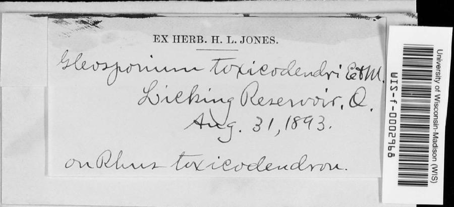
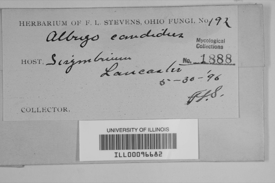
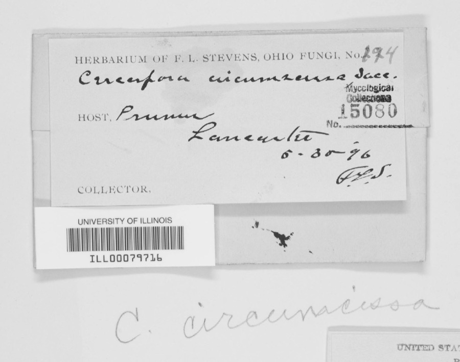
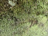
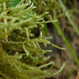
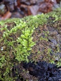
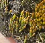
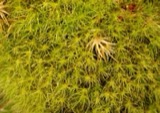
evidence. Museums hold 2,428 specimens
collected within 10 miles of Musser, Henry, House between 1843 and
1975: 1,986 Animalia, 335 Fungi, 99 Plantae, 6 Protozoa, 2 Chromista. 12 distinct Species records are shown.
Collected by A. Gray; W. S. Sullivant, Albertin, Asa Gray; W. S. Sullivant and others. Each is a
physical object with a catalogue
number, and each entry opens the museum's record. This is what was
collected and kept, not a survey of what lives here - nothing can be
concluded from a species being absent.
Regional context, not property-specific
evidence. The National Weather Service names
Baltimore, the town this property stands in, in 42 storm reports between 1998 and 2025: 23 thunderstorm wind, 16 hail, 2 heavy rain, 1 tornado.
No death or injury is recorded in these reports. Each account below is quoted exactly as the forecast office
filed it, from the NOAA Storm Events Database, and each date
opens the federal record of that event.
A house was damaged, a barn was destroyed, several roofs were damaged, a storage shed was blown down, large trees were down, and power lines were snapped due to damaging thunderstorm winds.
A roof was ripped off a house causing moderate damage. Numerous trees were downed in the vicinity of the house. Several barns also sustained some damage. An NWS storm survey determined that the damage was caused by microburst winds of 75 to 85 mph with a few higher gusts.
The tornado touched down east of Baltimore along Canal Road. Damage to a home was done at this location and a garage was destroyed. In addition windows were also blown out at this location. Numerous large trees were snapped and uprooted in the area. Additional damage was found along Millersport Road where a barn was damaged. Estimated maximum wind speed based on damage is around 100 miles per hour.
No historic map-sheet match is published
for this property yet. That does not mean no map exists. This record needs
a coordinate-quality review before it can be joined to a sheet boundary.
Browse the county's mapped places while that work is
pending.
From the nomination file
1,941 words on record
When this property was proposed for the
National Register, someone wrote the case for it: what the building is,
and why it matters. That document is a federal record in the public domain.
It is quoted below word for word, never summarised. The text was read off the scanned case file by machine, so the
occasional stray character is the recogniser's and the 1970s
typewriter's.
Description of the property
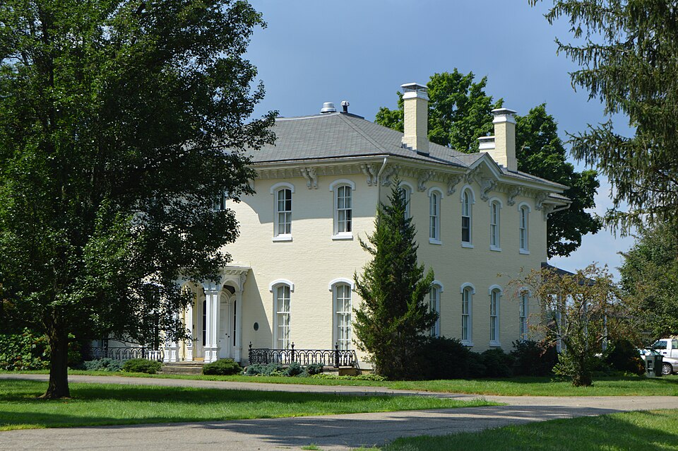
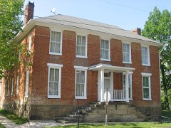
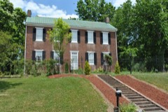
The facade (east) is five-bays wide, symmetrically arranged with a center entrance is protected by a one-bay, open, flat-roofed porch. Arched openings on the three sides of the porch are framed by paired, chamfered columns and form the floor. The porch was recently restored. Above the entrance, on the second level is a round-arched, 4/4 light window round arched hood. 4/4 light windows with the same stone sills and molding as those below. The north and east sides of the house are identical. Five bays deep, the windows on the first floor are 4/4 light, segmental-arched withthe same detailing as those on the facade.
Second story windows are also 4/4 light, but are not as tall porch has been enclosed and a square, one-story screen porch added to the south the cornice are large, carved, paired brackets extending below the fascia board CONDITION UNEXPOSED DETERIORATED UNALTERED FAIR of the enclosure. GOOD Both sections of the house are hip roofed.Roofing material was originally slate, CHECK ONE At the rear of the house a four-bay, two-story wing projects westward.There on the second.These match the windows of the main block.The west elevation center window on the facade.The eave above the center windows is pedimented.
brackets around the main block.The wing has only the larger brackets but they entrance.The doorway is composed of a wide segmental arch within which there these tall windows permit passage onto narrow sandstone verandas, one on either with stone sills and hoodmold.
architecture even for an architecturally rich are like Fairfield County. Musser set up a homestead on his 750 acres of farm. Originally he lived laying brick, but in making it as well. Three recently freed slaves were were pressed, air dried, and stacked into beehive shaped piles. A hardwood was finished by late fall of 1864. That summer Mr. Musser built a barn of obtain the lumber from the farm, but labor shortage due to the war necessitated Michigan was bought in Toledo and shipped to the Pugh Locks, south of A.I. Vorys II finished the job. 1500-1599 1400-1499 1600-1699 1864-1867 1700-1799 ENGINEERING COMMERCE EDUCATION ARCHEOLOGY-PREHISTORIC TRANSPORTATION PREHISTORIC ARCHEOLOGY-HISTORIC SIGNIFICANCE PERIOD THEATER AGRICULTURE 1900- SCULPTURE LITERATURE for this house.
MILITARY _EXPLORATION/SETTLEMENT _COMMUNICATIONS INDUSTRY _POLITICS/GOVERNMENT Pleasant in Lancater.A special horse-drawn cart was fabricated by a X-1800-1899 is well documented. Millersport.It was hauled to the shop of Vorys and Sons in Lancaster where SOCIAL/HUMANITARIAN While the brick was being made, the stone for the foundation was cut near Mt. - CONSERVATION sparsely populated until the building of the Ohio Canal System which spurred the growth of the area by providing good transportation to the -PHILOSOPHY the finish woodwork was fabricated.A.I.Vorys died in 1865,so his son, The Henry Musser Residence is a particularly fine example of mid-l800's -RELIGION - MUSIC - LAW A. I. Vorys The area is generally flat, rich farmland.
The area prior to 1830 was blacksmith, Amos Miller, to haul the stone the eight miles. The foundation importing the lumber. in a log building about 500 feet north of the present house. During the and livestock.
Quoted from the National Register nomination
for reference 78002059, 15 pages, held by the National Archives in Record
Group 79. See the
catalogue record.
Listed places nearby
6 within 8 miles
Other National Register properties close
enough to walk or drive between, ordered by distance from this one. Both
positions come from the same geocoding pass that matched these properties
to their map sheets.
Listing record. National Park Service National Register of Historic Places, listed-properties dataset, current to 2026-05-22.
Map join. Address geocoded through the United States Census geocoder, then tested against the published boundary of every sheet in the USGS Historical Topographic Map Collection.
How this page is made. Listing fields come from federal records; map-sheet coverage is a labelled coordinate-to-boundary calculation, not a source-field claim.
Wildfire. Short, Karen C. 2022. Spatial wildfire occurrence data for the United States, 1992-2020 [FPA_FOD_20221014]. 6th Edition. Fort Collins, CO: Forest Service Research Data Archive. https://doi.org/10.2737/RDS-2013-0009.6 Collected with United States Government funding and usable without additional permissions or fees.
Specimens. Global Biodiversity Information Facility (GBIF), https://www.gbif.org/. Only records licensed CC0 or CC BY are used. Records licensed CC BY-NC are excluded because this site carries advertising. Images are checked individually and any whose licence is non-commercial, no-derivatives or unreadable is refused.
Storms. NOAA National Centers for Environmental Information, Storm Events Database https://www.ncei.noaa.gov/stormevents/ A work of the United States government, no copyright under 17 U.S.C. 105. Narratives are quoted verbatim from the National Weather Service report and are not edited or summarised.
 Block
Block