 Block
Block
West Manchester, Ohio
9 topographic sheets cover this place, the earliest surveyed in 1953 and the latest in 1986. It stands in Monroe Township. It lies in ZIP code area 45382. The Survey maps it on the New Madison quadrangle. 415 people lived here at the 2020 count. It stands 1,093 feet above sea level.
Population over time
2 figuresWest Manchester fell from 474 to 415 between 2010 and 2020. These are the recorded population figures Wikidata holds for this place, reached through the Geographic Names Information System number this page is keyed on rather than by name, so they belong to this place and not to another of the same name. Most are census counts, but not all are: an early figure may be a founding or settlement estimate. The change column is computed, and is left blank where more than 20 years separate a figure from the one before it, because a gap that long is not a change between two counts.
| Year | People | Change |
|---|---|---|
| 2010 | 474 | |
| 2020 | 415 | -59 (-12%) |
Then and now
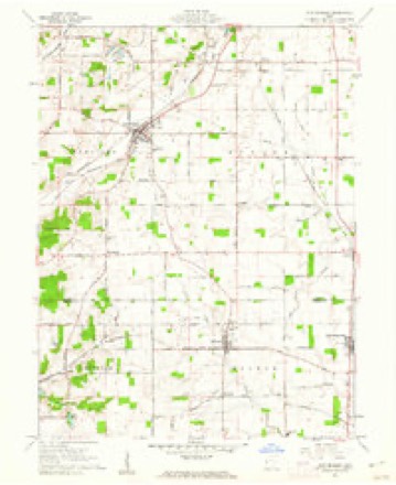
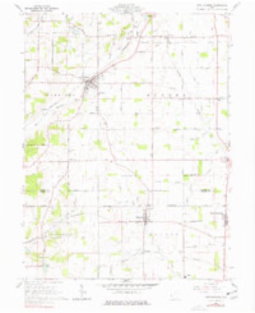
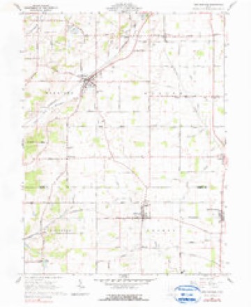
1953 to 1986The same ground, surveyed 33 years apart. Drag the handle to wipe between them. Both sheets are United States Geological Survey originals; neither has been altered.

Topographic sheets covering this place
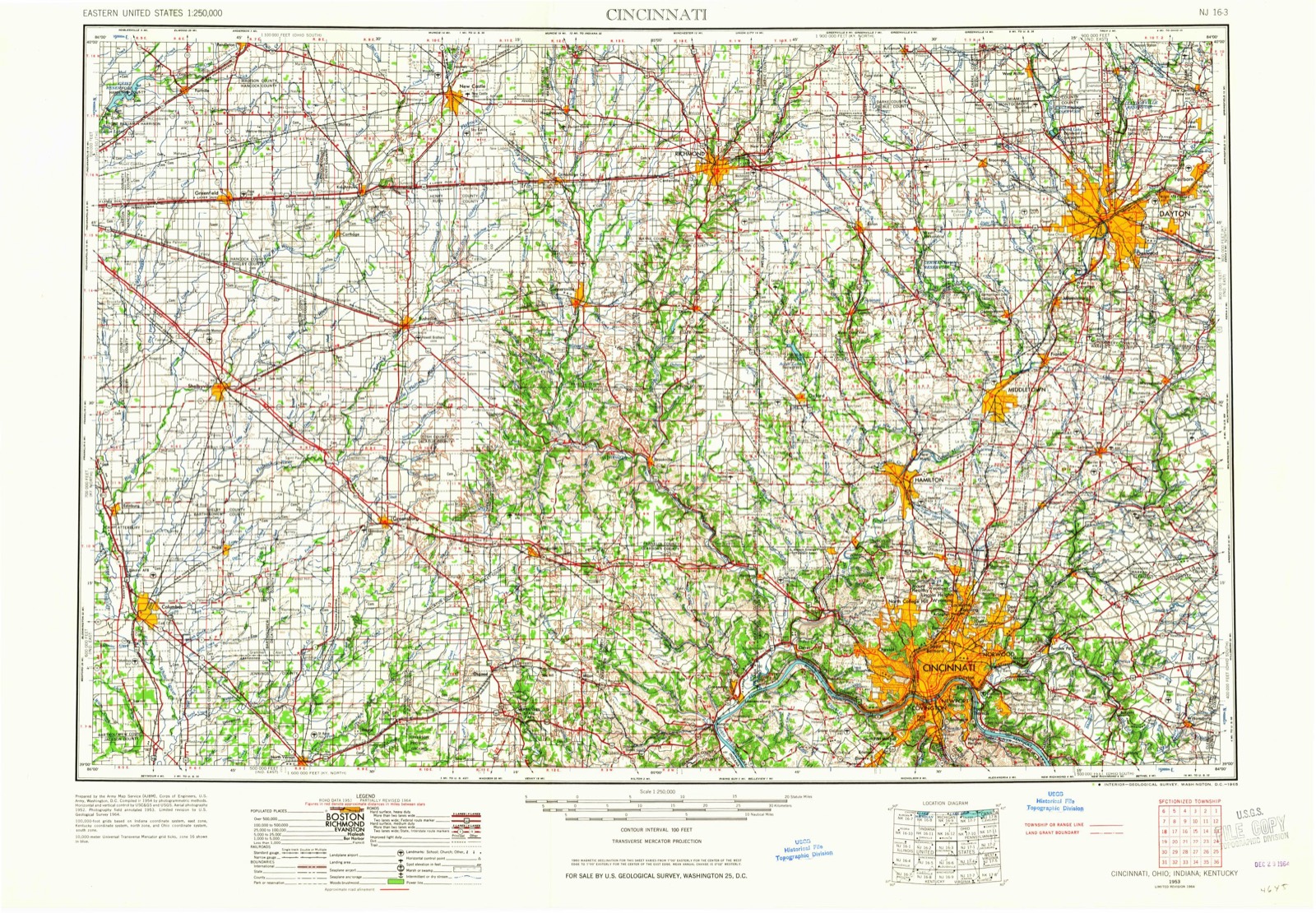
9 sheetsMatched by testing this settlement's coordinate against the published boundary of every sheet in the United States Geological Survey's historical collection. Each opens the scanned sheet at the Survey.
- 1953 USGS Cincinnati quadrangle1:250000
- 1953 USGS Cincinnati quadrangle1:250000
- 1953 USGS Cincinnati quadrangle1:250000
- 1957 USGS Cincinnati quadrangle1:250000
- 1960 USGS New Madison quadrangle1:24000
- 1960 USGS New Madison quadrangle1:24000
- 1960 USGS New Madison quadrangle1:24000
- 1986 USGS Dayton quadrangle1:100000
- 1986 USGS Dayton quadrangle1:100000






In the county-history sources
2,642 words on this townshipHistory of Preble County Ohio: Her People, Industries and Institutions, published 1915 names this settlement in its chapter on Monroe Township. These are the passages that mention it, exactly as the scans read.
Monroe township was the last township of the county to be settled because of the swampy and wet condition of large tracts of the land. Twin creek crosses the northeastern section, Bantas fork through the five southwest sections, and Dry fork, south of West Manchester, flows southeast into Twin creek; while Price creek, rising in Darke county, comes into the township about a mile east of the northwest corner of the township, flows diagonally across and leaves it within less than a mile north of the southeast corner of the township. The township is so near the beginnings of these streams that the land is extremely level, there probably existing no abrupt or steep hill, as much as twenty-five feet high, in the township. Rocky run heads as a tile ditch in section 31 of this township.
Passage source: History of Preble County Ohio: Her People, Industries and Institutions, published 1915.
The first school house was built, about 1825, in section 10, Jerry Pence, teacher, others soon following. Under our present school law eight good country school houses have been erected in the township, but already a movement is being agitated either to centralize the schools of the township or allow the western half to be centralized with Eldorado, the eastern half to be centralized with West Manchester, where there already exist excellent village schools.
Passage source: History of Preble County Ohio: Her People, Industries and Institutions, published 1915.
Like Eldorado, West Manchester just grew up as a collection of residences around the station of the Dayton & Western railroad. Under the laws of Ohio it was called a hamlet and governed by three trustees, except that the schools were under the control of the township board of education (the town never having been incorporated), and it so continued untii March, 1900, at which time the trustees, on petition, ordered an election to advance the hamlet to a village. This election was held on April 2, 1900, and the progressive proposition was carried by a vote of two to one. A census showed a population of three hundred and seventy, and on October 1, 1900, the final resolution was passed making West Manchester a village. John W. Hoffman was elected the first mayor and R. H. Siler the first clerk.
Passage source: History of Preble County Ohio: Her People, Industries and Institutions, published 1915.
Machine-read from a century-old scan, so expect the errors a machine makes: misspelled names, dropped words, stray characters.
Read the whole chapter on Monroe Township - it names this place 4 more 4 times.
Specimens collected near this place
12 of 371 shownRegional context, not property-specific evidence. Museums hold 371 specimens collected within 10 miles of West Manchester between 1876 and 1974: 367 Animalia, 3 Plantae, 1 Fungi. 12 distinct Species records are shown. Collected by Cole, G., F. White, Klots, A.B. and others. Each is a physical object with a catalogue number, and each entry opens the museum's record. This is what was collected and kept, not a survey of what lives here - nothing can be concluded from a species being absent.
| Image | Species | Year | Collected by | Where, as recorded |
|---|---|---|---|---|
 | Hedwigia ciliata (Hedw.) P.Beauv. | 1876 | not recorded | New Paris |
 | Gymnosporangium juniperi-virginianae Schwein. | 1928 | Mendenhall E. W. | New Paris |
 | Macrochilo absorptalis Walker, 1859 | 1929 | Klots, A.B. | Lewisburg |
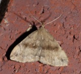 | Phalaenostola eumelusalis Walker, 1859 | 1929 | Klots, A.B. | Lewisburg |
 | Phalaenostola larentioides Grote, 1873 | 1929 | Klots, A.B. | Lewisburg |
 | Campostoma anomalum anomalum | 1930 | MB Trautman | Whitewater River, at New Paris, Jefferson Twp |
 | Catostomus commersonnii commersonnii (Lacepède, 1803) | 1930 | MB Trautman | Whitewater River, at New Paris, Jefferson Twp |
 | Chrosomus erythrogaster (Rafinesque, 1820) | 1930 | Trautman, M. B. (Milton Bernard) & Foster, R. (Robert) | East Fork Whitewater River, at New Paris, ~0.4 mi NW of New Paris, Jefferson township |
 | Cottus bairdii Girard, 1850 | 1930 | MB Trautman | Whitewater River, at New Paris, Jefferson Twp |
 | Etheostoma blennioides Rafinesque, 1819 | 1930 | MB Trautman | Whitewater River, at New Paris, Jefferson Twp |
 | Etheostoma caeruleum Storer, 1845 | 1930 | MB Trautman | Whitewater River, at New Paris, Jefferson Twp |
 | Etheostoma nigrum Rafinesque, 1820 | 1930 | MB Trautman | Whitewater River, at New Paris, Jefferson Twp |
All 371 specimens within 10 miles, at the Global Biodiversity Information Facility.
Storms near this place
9 since 1996Regional context, not property-specific evidence. The National Weather Service names West Manchester in 9 storm reports between 1996 and 2025: 5 thunderstorm wind, 3 hail, 1 flood. No death or injury is recorded in these reports. Each account below is quoted exactly as the forecast office filed it, from the NOAA Storm Events Database, and each date opens the federal record of that event.
| When | Event | Place named | Harm | What the report says |
|---|---|---|---|---|
| November 1996 | Thunderstorm Wind | West Manchester | $1,000,000 | no account filed |
| September 2012 | Thunderstorm Wind | West Manchester | $25,000 | Three trees were damaged near West Manchester due to thunderstorm winds. A vehicle, car port, fence, and two houses also sustained damage. |
| January 2008 | Thunderstorm Wind | West Manchester | $10,000 | A large tree fell on to a house, causing minor damage. Numerous trees were downed along the Darke-Preble County line, some up to 30 in diameter. |
| July 2022 | Thunderstorm Wind | West Manchester | $6,000 | A tree fell onto some wires. |
| December 2025 | Thunderstorm Wind | West Manchester | $5,000 | Several power poles were downed along U.S. 127. |
| September 2018 | Flood | West Manchester | - | Main Street through town was impassible due to high water. |
| July 2023 | Hail | West Manchester | - | no account filed |
| March 2012 | Hail | West Manchester | - | no account filed |
| May 2011 | Hail | West Manchester | - | no account filed |
Nearest settlements
The eight closest, with where each one stands in the county. Distances are straight-line, computed from the Geographic Names Information System coordinates.
| Map | Place | Distance | Sheets |
|---|---|---|---|
| Browns | 1.4 miles | 8 | |
| Eldorado | 2.6 miles | 9 | |
| Hamburg | 2.9 miles | 9 | |
| Georgetown | 4.5 miles | 8 | |
| West Sonora | 4.6 miles | 8 | |
| Ebenezer | 5.6 miles | 8 | |
| Euphemia | 5.7 miles | 8 | |
| Lewisburg | 6.0 miles | 8 |
Elsewhere
Matched on this settlement's Geographic Names Information System number rather than its name, so it cannot be a different place of the same name in another state.
| Wikipedia article on West Manchester | An encyclopaedic summary. Its text is share-alike, so it is linked here rather than copied. |
| Wikidata item Q1891854 | The structured record the population and elevation above come from. Public domain (CC0). |
Provenance
This settlement is recorded in the Geographic Names Information System as feature 1061731. The sheet list is computed by point-in-boundary test against the United States Geological Survey's historical topographic inventory. Both are works of the United States government and carry no copyright under 17 U.S.C. 105.
Specimens. Global Biodiversity Information Facility (GBIF), https://www.gbif.org/. Only records licensed CC0 or CC BY are used. Records licensed CC BY-NC are excluded because this site carries advertising. Images are checked individually and any whose licence is non-commercial, no-derivatives or unreadable is refused.
Storms. NOAA National Centers for Environmental Information, Storm Events Database https://www.ncei.noaa.gov/stormevents/ A work of the United States government, no copyright under 17 U.S.C. 105. Narratives are quoted verbatim from the National Weather Service report and are not edited or summarised.