 Block
Block
West Sonora, Ohio
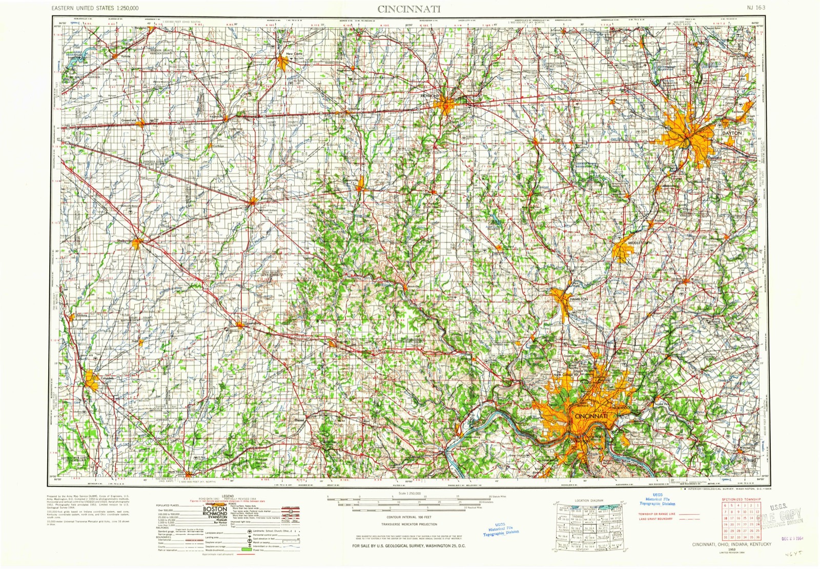
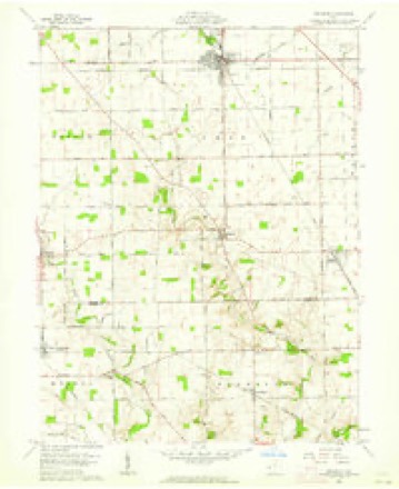
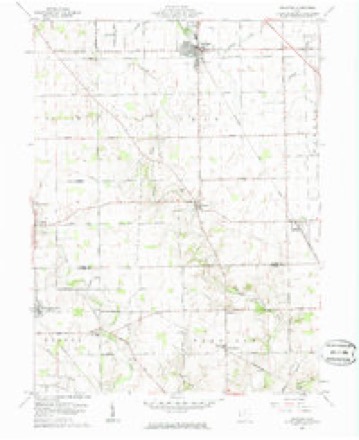
8 topographic sheets cover this place, the earliest surveyed in 1953 and the latest in 1986. It stands in Harrison Township. It lies in ZIP code area 45338. The Survey maps it on the Arcanum quadrangle.
Then and now
1953 to 1986The same ground, surveyed 33 years apart. Drag the handle to wipe between them. Both sheets are United States Geological Survey originals; neither has been altered.

Topographic sheets covering this place
8 sheetsMatched by testing this settlement's coordinate against the published boundary of every sheet in the United States Geological Survey's historical collection. Each opens the scanned sheet at the Survey.
- 1953 USGS Cincinnati quadrangle1:250000
- 1953 USGS Cincinnati quadrangle1:250000
- 1953 USGS Cincinnati quadrangle1:250000
- 1957 USGS Cincinnati quadrangle1:250000
- 1961 USGS Arcanum quadrangle1:24000
- 1961 USGS Arcanum quadrangle1:24000
- 1986 USGS Dayton quadrangle1:100000
- 1986 USGS Dayton quadrangle1:100000






What happened here
An account from the chapter on Harrison township, The inset identifies its exact source book and publication year.
Colonel Samuel Kesler
The subject of this sketch was born in Rockingham county, Virginia, on the seventeenth day of May, 1792, and with his father, Jacob Kesler, who served as a soldier in the Revolution, emigrated to Preble county, Ohio, and settled on a farm about one mile south of Lewisburgh, in the year 1811. In the following year, 1812, reports having reached the settlements that the Indians were becoming troublesome, and that several families had been massacred near Greenville, Ohio, a company under Captain Fleming, in which he acted as a private, was sent out against them, but on arriving at their destination, they found that the Indians, after having murdered several persons, had fled.
In the county-history sources
88,539 words on this townshipHistory of Preble County Ohio, published 1881 names this settlement in its chapter on Harrison Township. These are the passages that mention it, exactly as the scans read.
John Ott, sr, was born in. Virginia in 1785, from which State he emigrated to Ohio and settled in this township about 1809. He was engaged in fighting the Indians at Forts Greenville and Recovery during the War of 1812. He was married twice. His first wife was Mary M. Lock, who was born in 1783, and died in
Passage source: History of Preble County Ohio, published 1881.
The valley proper, especially in the northern part of the township, is quite narrow, and in many places is cut through the blue limestone on either side. The scenery is varied and beautiful, and occasionally wildly picturesque. In this porge, jagged with rocky sides, and overhung with cooling shades, is found the playground of Fancy, while just beyond the wildness of the place blends into the broad acres of waving corn, so pleasing to the practical eye of the farmer. "The broadest areas of bottom land are to be found in the southern part of the township. The several branches of the creek mark out the corners of its many tributary valleys, extending to the right hand and to the left, between successive ridges of good land, and thus the whole surface of the township is rolling, and in many places hill. Of the twenty-two thousand eight hundred and ninety-one acres of land in the township, there is not a real poor one, and the whole is the most valuable land in Preble county. Of this land sixteen thousand five hundred and forty-five acres are under cultivation, four hundred acres are used for grazing purposes, and the remainder is yet uncleared. The total value of lands in Israel township, with the additional buildings since 1870, is nine hundred and ninety-seven thousand five hundred and fifty dollars. Corn, wheat, oats, flax and hay are the principal agricultural products. Barley is not raised, and tobacco is only grown for home consumption. Of late the cultivation of sorghum has been on the increase, and almost every farm has its patch. Several farmers, prominent among whom is Thomas McQuiston, have of late become very much interested as to the expediency of entering into the extensive manufacture of sugar from their sorghum.
Passage source: History of Preble County Ohio, published 1881.
John Ramsey was born in 1800, in Rockbridge county, Virginia, and afterwards lived in Kentucky, coming to Israel township in 1805. He was raised on the farm in section twenty-three. His father was, by trade, a millwright and built the McDill mill, and the one at Fairhaven. In 1829 John married Miss Mary Brown, daughter of James Brown, sr. She was born in 1802, and is the mother of six children, only two of whom are living, Mary, wife of W. A. Douglass, who lives near his
Passage source: History of Preble County Ohio, published 1881.
Machine-read from a century-old scan, so expect the errors a machine makes: misspelled names, dropped words, stray characters.
Read the whole chapter on Harrison Township - it names this place 9 more 9 times.
Specimens collected near this place
12 of 130 shownRegional context, not property-specific evidence. Museums hold 130 specimens collected within 10 miles of West Sonora between 1901 and 1972: 116 Animalia, 12 Fungi, 2 Plantae. 12 distinct Species records are shown. Collected by H.H. Ross, Kellerman, W.A., Kellerman, William and others. Each is a physical object with a catalogue number, and each entry opens the museum's record. This is what was collected and kept, not a survey of what lives here - nothing can be concluded from a species being absent.
| Image | Species | Year | Collected by | Where, as recorded |
|---|---|---|---|---|
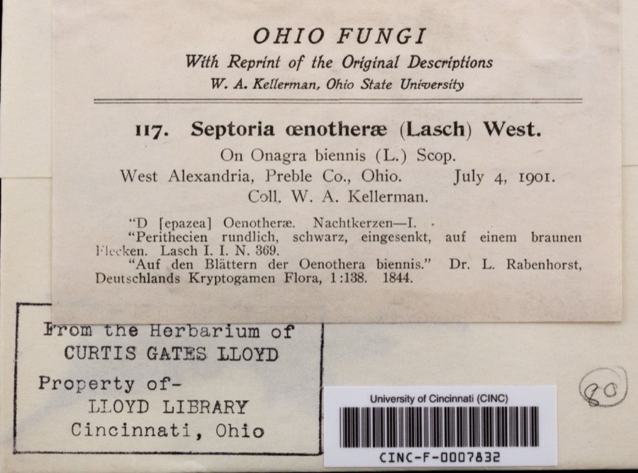 | Septoria oenotherae Westend. | 1901 | Kellerman, W.A. | West Alexandria |
 | Phyllosticta Pers., 1818 | 1901 | W. A. Kellerman | |
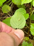 | Puccinia circaeae Pers. | 1901 | W. A. Kellerman | West Alexandria |
 | Uromyces caladii (Schwein.) Farl. | 1901 | W. A. Kellerman | West Alexandria |
 | Macrochilo absorptalis Walker, 1859 | 1929 | Klots, A.B. | Lewisburg |
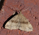 | Phalaenostola eumelusalis Walker, 1859 | 1929 | Klots, A.B. | Lewisburg |
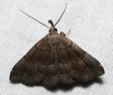 | Phalaenostola larentioides Grote, 1873 | 1929 | Klots, A.B. | Lewisburg |
 | Etheostoma zonale (Cope, 1868) | 1930 | Trautman, M. B. (Milton Bernard) & Foster, R. (Robert) | Twin Creek, within Harrison township, near Lewisburg, Harrison township |
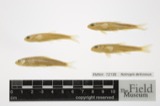 | Notropis deliciosus (Girard, 1856) | 1930 | Trautman, M. B. (Milton Bernard) & Foster, R. (Robert) | Twin Creek, within Harrison township, near Lewisburg, Harrison township |
 | Notropis rubellus (Agassiz, 1850) | 1930 | Trautman, M. B. (Milton Bernard) & Foster, R. (Robert) | Twin Creek tributary, within Harrison township, near Lewisburg, Harrison township |
 | Rhinichthys atratulus meleagris Agassiz, 1854 | 1930 | Trautman, M. B. (Milton Bernard) & Foster, R. (Robert) | Twin Creek tributary, within Harrison township, near Lewisburg, Harrison township |
| Allocapnia granulata (Claassen, 1924) | 1938 | Theodore H. Frison | Lewisburg, Ohio, Twin Rivers |
All 130 specimens within 10 miles, at the Global Biodiversity Information Facility.
Mines and quarries near this place
3 within 5 milesRegional context, not property-specific evidence. The federal mineral resources record lists 3 workings within 5 miles of West Sonora: 2 producers, 1 past producer. 2 still produce. What was taken out: Stone, Crushed/Broken, Limestone, General. Distance is straight-line from the map coordinates, so a quarry counted here may appear on a neighbouring settlement's page as well.
| Where | Site | Commodity | Status | Recorded |
|---|---|---|---|---|
| Victory Limestone Quarry | Limestone, General | Past Producer | Sedimentary | |
| Lewisburg Quarry | Stone, Crushed/Broken | Producer | ||
| Victory Limestone Quarry | Stone, Crushed/Broken | Producer |
Storms near this place
2 since 2001Regional context, not property-specific evidence. The National Weather Service names West Sonora in 2 storm reports between 2001 and 2016: 2 thunderstorm wind. No death or injury is recorded in these reports. Each account below is quoted exactly as the forecast office filed it, from the NOAA Storm Events Database, and each date opens the federal record of that event.
| When | Event | Place named | Harm | What the report says |
|---|---|---|---|---|
| March 2016 | Thunderstorm Wind | West Sonora | $10,000 | A roof was blown off of a garage located on Rockridge Road. A neighboring house sustained wind damage and a pole barn was destroyed. |
| May 2001 | Thunderstorm Wind | West Sonora | $5,000 | Numerous trees knocked down. |
Nearest settlements
The eight closest, with where each one stands in the county. Distances are straight-line, computed from the Geographic Names Information System coordinates.
| Map | Place | Distance | Sheets |
|---|---|---|---|
| Georgetown | 0.9 miles | 8 | |
| Euphemia | 2.4 miles | 8 | |
| Lewisburg | 3.0 miles | 8 | |
| Verona | 3.1 miles | 9 | |
| Browns | 3.2 miles | 8 | |
| West Manchester | 4.6 miles | 9 | |
| Brennersville | 6.3 miles | 8 | |
| Eldorado | 7.2 miles | 9 |
Elsewhere
Matched on this settlement's Geographic Names Information System number rather than its name, so it cannot be a different place of the same name in another state.
| Wikipedia article on West Sonora | An encyclopaedic summary. Its text is share-alike, so it is linked here rather than copied. |
| Wikidata item Q22676671 | The structured record the population and elevation above come from. Public domain (CC0). |
Provenance
This settlement is recorded in the Geographic Names Information System as feature 1061753. The sheet list is computed by point-in-boundary test against the United States Geological Survey's historical topographic inventory. Both are works of the United States government and carry no copyright under 17 U.S.C. 105.
Specimens. Global Biodiversity Information Facility (GBIF), https://www.gbif.org/. Only records licensed CC0 or CC BY are used. Records licensed CC BY-NC are excluded because this site carries advertising. Images are checked individually and any whose licence is non-commercial, no-derivatives or unreadable is refused.
Mines and quarries. USGS Mineral Resources Data System (MRDS) https://mrdata.usgs.gov/mrds/ A work of the United States government, no copyright under 17 U.S.C. 105.
Storms. NOAA National Centers for Environmental Information, Storm Events Database https://www.ncei.noaa.gov/stormevents/ A work of the United States government, no copyright under 17 U.S.C. 105. Narratives are quoted verbatim from the National Weather Service report and are not edited or summarised.