 Block
Block
Lewisburg, Ohio
8 topographic sheets cover this place, the earliest surveyed in 1953 and the latest in 1986. It stands in Harrison Township. It lies in ZIP code area 45338. It stands on Swamp Creek. The Survey maps it on the Lewisburg quadrangle. 1,745 people lived here at the 2020 count. It stands 997 feet above sea level.
Population over time
2 figuresLewisburg fell from 1,820 to 1,745 between 2010 and 2020. These are the recorded population figures Wikidata holds for this place, reached through the Geographic Names Information System number this page is keyed on rather than by name, so they belong to this place and not to another of the same name. Most are census counts, but not all are: an early figure may be a founding or settlement estimate. The change column is computed, and is left blank where more than 20 years separate a figure from the one before it, because a gap that long is not a change between two counts.
| Year | People | Change |
|---|---|---|
| 2010 | 1,820 | |
| 2020 | 1,745 | -75 (-4%) |
Then and now
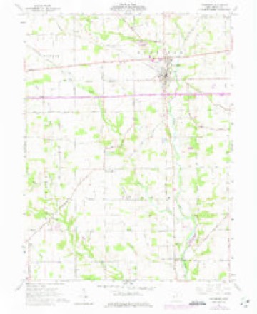
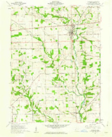
1953 to 1986The same ground, surveyed 33 years apart. Drag the handle to wipe between them. Both sheets are United States Geological Survey originals; neither has been altered.

Topographic sheets covering this place
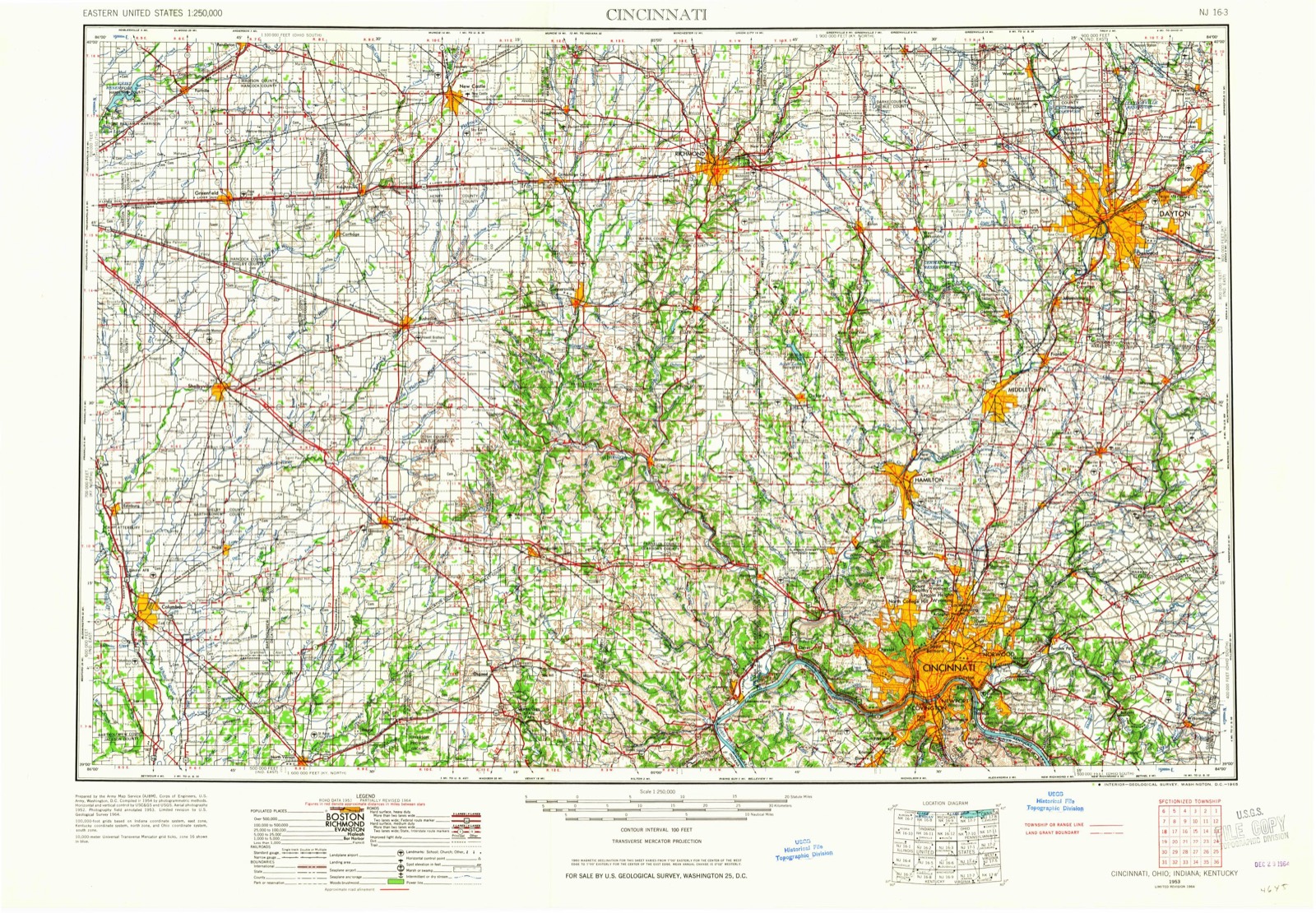
8 sheetsMatched by testing this settlement's coordinate against the published boundary of every sheet in the United States Geological Survey's historical collection. Each opens the scanned sheet at the Survey.
- 1953 USGS Cincinnati quadrangle1:250000
- 1953 USGS Cincinnati quadrangle1:250000
- 1953 USGS Cincinnati quadrangle1:250000
- 1957 USGS Cincinnati quadrangle1:250000
- 1961 USGS Lewisburg quadrangle1:24000
- 1961 USGS Lewisburg quadrangle1:24000
- 1986 USGS Dayton quadrangle1:100000
- 1986 USGS Dayton quadrangle1:100000






What happened here
An account from the chapter on Harrison township, The inset identifies its exact source book and publication year.
Colonel Samuel Kesler
The subject of this sketch was born in Rockingham county, Virginia, on the seventeenth day of May, 1792, and with his father, Jacob Kesler, who served as a soldier in the Revolution, emigrated to Preble county, Ohio, and settled on a farm about one mile south of Lewisburgh, in the year 1811. In the following year, 1812, reports having reached the settlements that the Indians were becoming troublesome, and that several families had been massacred near Greenville, Ohio, a company under Captain Fleming, in which he acted as a private, was sent out against them, but on arriving at their destination, they found that the Indians, after having murdered several persons, had fled.
In the county-history sources
88,539 words on this townshipHistory of Preble County Ohio, published 1881 names this settlement in its chapter on Harrison Township. These are the passages that mention it, exactly as the scans read.
The principal crops are corn and wheat. A good deal of attention is also paid to the cultivation of tobacco, and competent critics say that the quality is not much inferior to that raised in those States where tobacco culture is a specialty. Immense warehouses are being erected in different parts of the township for the storage of the fragrant weed.
Passage source: History of Preble County Ohio, published 1881.
There are several quarries in the township which yield a good quality of gray limestone. 'This stone is in great demand for pavement and foundation work. At present there are as many as a dozen quarries in different parts of the township. 'There are also two lime-kilns which are in operation.
Passage source: History of Preble County Ohio, published 1881.
Harrison township boasts of the possession of three or four pike roads, all in a fine state of repair. One of these, which runs due north and south through the center of the township, is a toll pike, as the traveller sometimes finds out to his discomfort. Of the other two, one extends from the toll pike in section twenty-one, to the northwest; the other is a part of the old National road, from Cumberland, Maryland, to St. Louis, Missouri. This road was the offspring of Heny Clay's genius, and was intended to further the interests of the emigrants, furnishing a good road through the best lands of the west. It was completed only in the mind of the great orator. A considerable portion is piked now - thanks to the efforts of the counties through which it passed. The other roads in the township are in a fair state of repair. The hilly nature of the country, and the fact that a board of supervisors is not now numbered among the regularly elected officers of the township, is in a great part the cause of the neglect of these roads in some portions of the township.
Passage source: History of Preble County Ohio, published 1881.
Machine-read from a century-old scan, so expect the errors a machine makes: misspelled names, dropped words, stray characters.
Read the whole chapter on Harrison Township - it names this place 65 more 65 times.
Specimens collected near this place
12 of 769 shownRegional context, not property-specific evidence. Museums hold 769 specimens collected within 10 miles of Lewisburg between 1896 and 1974: 738 Animalia, 27 Fungi, 4 Plantae. 12 distinct Species records are shown. Collected by A.R. Gaufin, H.H. Ross, Arden R. Gaufin, B. Fink and others. Each is a physical object with a catalogue number, and each entry opens the museum's record. This is what was collected and kept, not a survey of what lives here - nothing can be concluded from a species being absent.
| Image | Species | Year | Collected by | Where, as recorded |
|---|---|---|---|---|
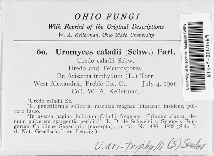 | Uromyces ari-triphylli (Schwein.) Seeler | 1901 | W. A. Kellerman | West Alexandria |
 | Uria lomvia lomvia (Linnaeus, 1758) | 1896 | Stewart, R. T. (Robert T.) | Israel Twp, Fairhaven, Preble, Ohio, USA |
 | Phyllosticta Pers., 1818 | 1901 | W. A. Kellerman | |
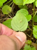 | Puccinia circaeae Pers. | 1901 | W. A. Kellerman | West Alexandria |
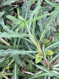 | Septoria oenotherae Westend. | 1901 | W. A. Kellerman | |
 | Uromyces caladii (Schwein.) Farl. | 1901 | W. A. Kellerman | West Alexandria |
 | Porella platyphylla (L.) Pfeiff. | 1910 | Braun, Lucy E. | |
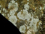 | Physcia subtilis Degelius | 1914 | B. Fink | Eaton |
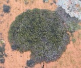 | Scoliciosporum umbrinum (Ach.) Arnold | 1914 | Fink, B. | Eaton |
 | Steccherinum pulcherrimum (Berk. & M.A.Curtis) Banker | 1925 | M.L. Lohman | Eaton |
 | Etheostoma blennioides Rafinesque, 1819 | 1929 | MB Trautman & asst | Bantas Fork, trib of Twin Creek, South western Twin Twnp; Trib of Miami River |
 | Luxilus chrysocephalus Rafinesque, 1820 | 1929 | MB Trautman & asst | Bantas Fork, trib of Twin Creek, South western Twin Twnp; Trib of Miami River |
All 769 specimens within 10 miles, at the Global Biodiversity Information Facility.
Mines and quarries near this place
4 within 5 milesRegional context, not property-specific evidence. The federal mineral resources record lists 4 workings within 5 miles of Lewisburg: 3 producers, 1 past producer. 3 still produce. What was taken out: Stone, Crushed/Broken, Sand and Gravel, Construction, Limestone, General. Distance is straight-line from the map coordinates, so a quarry counted here may appear on a neighbouring settlement's page as well.
| Where | Site | Commodity | Status | Recorded |
|---|---|---|---|---|
| Victory Limestone Quarry | Limestone, General | Past Producer | Sedimentary | |
| Wysong Gravel West Alexandria Pit | Sand and Gravel, Construction | Producer | ||
| Lewisburg Quarry | Stone, Crushed/Broken | Producer | ||
| Victory Limestone Quarry | Stone, Crushed/Broken | Producer |
Storms near this place
5 since 1996Regional context, not property-specific evidence. The National Weather Service names Lewisburg in 5 storm reports between 1996 and 2014: 3 hail, 2 thunderstorm wind. No death or injury is recorded in these reports. Each account below is quoted exactly as the forecast office filed it, from the NOAA Storm Events Database, and each date opens the federal record of that event.
| When | Event | Place named | Harm | What the report says |
|---|---|---|---|---|
| May 2004 | Thunderstorm Wind | Lewisburg | $3,000 | Trees were knocked down. |
| February 2014 | Thunderstorm Wind | Lewisburg | - | The Ohio Department of Transportation weather sensor measured the wind gust. |
| April 2006 | Hail | Lewisburg | - | no account filed |
| April 2006 | Hail | Lewisburg | - | no account filed |
| April 1996 | Hail | Lewisburg | - | no account filed |
Nearest settlements
The eight closest, with where each one stands in the county. Distances are straight-line, computed from the Geographic Names Information System coordinates.
| Map | Place | Distance | Sheets |
|---|---|---|---|
| Euphemia | 0.6 miles | 8 | |
| West Sonora | 3.0 miles | 8 | |
| Brennersville | 3.6 miles | 8 | |
| Georgetown | 3.8 miles | 8 | |
| Verona | 4.9 miles | 9 | |
| Browns | 5.0 miles | 8 | |
| New Lexington | 5.9 miles | 8 | |
| West Manchester | 6.0 miles | 9 |
Elsewhere
Matched on this settlement's Geographic Names Information System number rather than its name, so it cannot be a different place of the same name in another state.
| Wikipedia article on Lewisburg | An encyclopaedic summary. Its text is share-alike, so it is linked here rather than copied. |
| Wikidata item Q953188 | The structured record the population and elevation above come from. Public domain (CC0). |
Provenance
This settlement is recorded in the Geographic Names Information System as feature 1057795. The sheet list is computed by point-in-boundary test against the United States Geological Survey's historical topographic inventory. Both are works of the United States government and carry no copyright under 17 U.S.C. 105.
Specimens. Global Biodiversity Information Facility (GBIF), https://www.gbif.org/. Only records licensed CC0 or CC BY are used. Records licensed CC BY-NC are excluded because this site carries advertising. Images are checked individually and any whose licence is non-commercial, no-derivatives or unreadable is refused.
Mines and quarries. USGS Mineral Resources Data System (MRDS) https://mrdata.usgs.gov/mrds/ A work of the United States government, no copyright under 17 U.S.C. 105.
Storms. NOAA National Centers for Environmental Information, Storm Events Database https://www.ncei.noaa.gov/stormevents/ A work of the United States government, no copyright under 17 U.S.C. 105. Narratives are quoted verbatim from the National Weather Service report and are not edited or summarised.