 Block
Block
West Union, Ohio
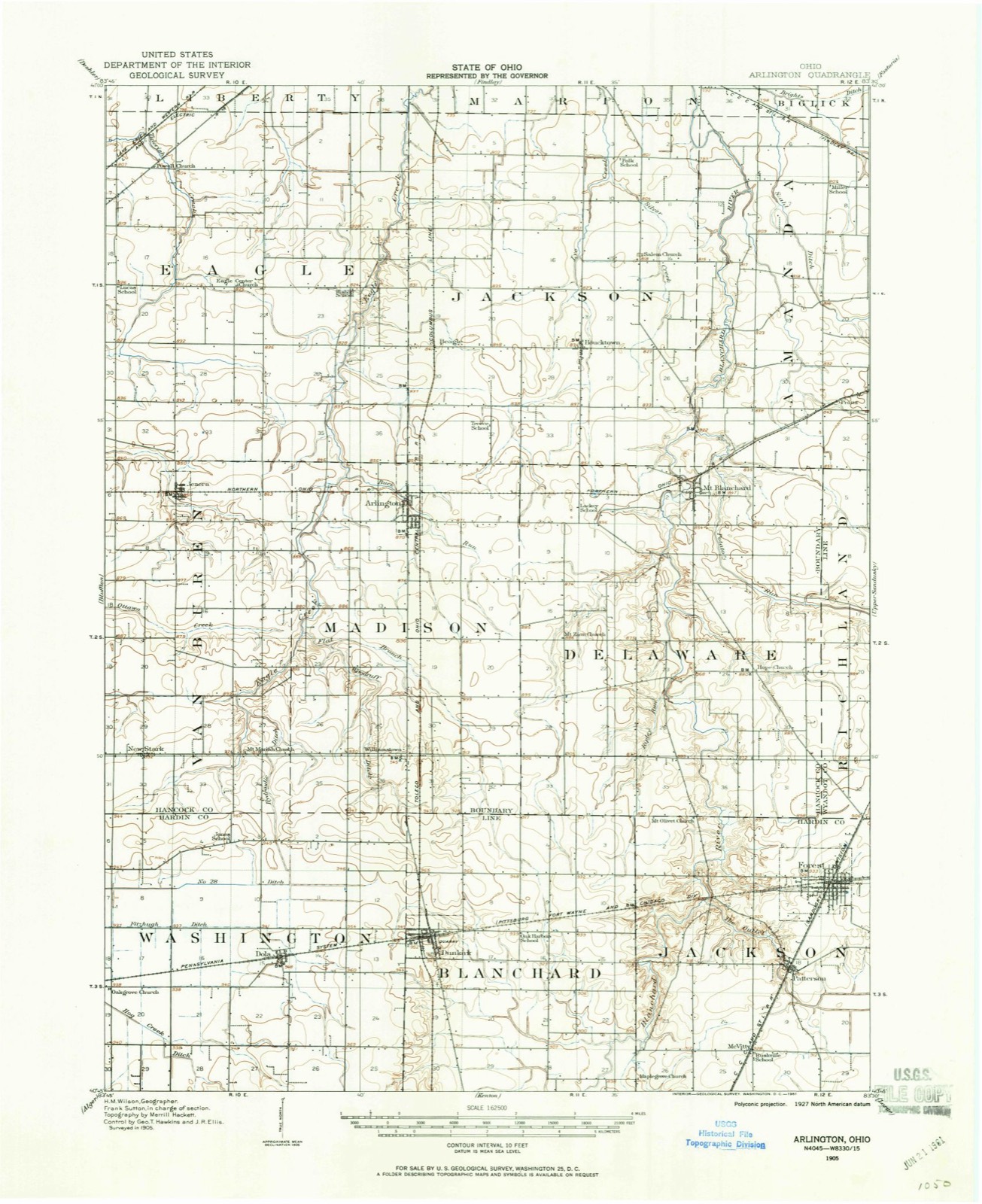
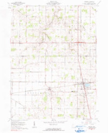
12 topographic sheets cover this place, the earliest surveyed in 1905 and the latest in 1986. It stands in Madison Township. It lies in ZIP code area 45897. The Survey maps it on the Dunkirk quadrangle. The federal gazetteer marks this settlement historical: it is no longer a populated place, though the surveys that recorded it still are.
Then and now
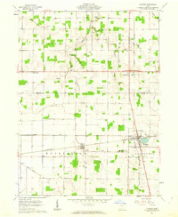
1905 to 1986The same ground, surveyed 81 years apart. Drag the handle to wipe between them. Both sheets are United States Geological Survey originals; neither has been altered.

Topographic sheets covering this place
12 sheetsMatched by testing this settlement's coordinate against the published boundary of every sheet in the United States Geological Survey's historical collection. Each opens the scanned sheet at the Survey.
- 1905 USGS Arlington quadrangle1:62500
- 1907 USGS Arlington quadrangle1:62500
- 1907 USGS Arlington quadrangle1:24000
- 1950 USGS Marion quadrangle1:250000
- 1961 USGS Dunkirk quadrangle1:24000
- 1961 USGS Dunkirk quadrangle1:24000
- 1962 USGS Marion quadrangle1:250000
- 1966 USGS Marion quadrangle1:250000
- 1966 USGS Marion quadrangle1:250000
- 1966 USGS Marion quadrangle1:250000
- 1986 USGS Marion quadrangle1:100000
- 1986 USGS Marion quadrangle1:100000







In the county-history sources
11,976 words on this townshipHistory of Hancock County, Ohio : Containing a History of the County, Its Townships, Towns ... Portraits of Early Settlers and Prominent Men, Biographies, History of the Northwest Territory, History of Ohio, Statistical and Miscellaneous Matter, Etc, published 1886 names this settlement in its chapter on Madison Township. These are the passages that mention it, exactly as the scans read.
Madison Township was named in honor of James Madison, fourth President of the United States. It lies in the southern range of subdivisions, with Hardin County on the south. Van Buren Township on the west. Eagle and Jackson on the north, and Delaware on the east. It embraces twenty-four sections, or an area of 15,360 acres. In 1850 it contained 667 inhabitants; 1860, 844; 1870, 967, and 1880, 1,232.
Passage source: History of Hancock County, Ohio : Containing a History of the County, Its Townships, Towns ... Portraits of Early Settlers and Prominent Men, Biographies, History of the Northwest Territory, History of Ohio, Statistical and Miscellaneous Matter, Etc, published 1886.
The surface is generally level in the north part of the township, but slightly elevated, and rolling in the southern part, with a gradual descent from south to north, the natural drainage being all in that direction. The East Branch of Eagle Creek, rising in Hog Creek Marsh, strikes the south line of the township on Section 31, and taking a northwest course unites with the West Branch, near the southwest corner of Section 14. The West Branch flows in from Van Buren Township across the northwest quarter of Section 23, and, after uniting with the East Branch, the combined stream meanders northward along the west line of the township, passes into Eagle Township, near the northeast corner of Section 2, and thence northward to the Blanchard at Findlay. The southeast corner of the township is drained by Flat Branch, a sluggish tributary of the East Branch of Eagle Creek, into which it empties on the northeast quarter of Section 23. Buck Run heads in the east center of the township, and winding northwestward through Arlington strikes Eagle Creek near the line between Sections 1 and 2. The head of Lye Creek is located in the northeast corner of the township, whence it passes into Jackson. Thus it will be seen that Madison Township is well watered, and favored with good natural di-ainage.
Passage source: History of Hancock County, Ohio : Containing a History of the County, Its Townships, Towns ... Portraits of Early Settlers and Prominent Men, Biographies, History of the Northwest Territory, History of Ohio, Statistical and Miscellaneous Matter, Etc, published 1886.
Machine-read from a century-old scan, so expect the errors a machine makes: misspelled names, dropped words, stray characters.
Specimens collected near this place
12 of 474 shownRegional context, not property-specific evidence. Museums hold 474 specimens collected within 10 miles of West Union (historical) between 1886 and 1973: 467 Animalia, 7 Fungi. 12 distinct Species records are shown. Collected by F R GEHLBACK, Kellerman, W.A., Kellerman, William Ashbrook and others. Each is a physical object with a catalogue number, and each entry opens the museum's record. This is what was collected and kept, not a survey of what lives here - nothing can be concluded from a species being absent.
| Image | Species | Year | Collected by | Where, as recorded |
|---|---|---|---|---|
 | Bombus lucorum (Linnaeus, 1761) | 1886 | not recorded | UrbanaBoneyard Creek;Vermilion River;Salt Fork of Vermilion River |
 | Bombus bohemicus Seidl, 1838 | 1887 | not recorded | UrbanaBoneyard Creek;Vermilion River;Salt Fork of Vermilion River |
 | Bombus pascuorum (Scopoli, 1763) | 1895 | not recorded | UrbanaBoneyard Creek;Vermilion River;Salt Fork of Vermilion River |
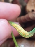 | Puccinia mariae-wilsoniae Clinton | 1901 | W. A. Kellerman | Arlington |
 | Bombus pensylvanicus (De Geer, 1773) | 1905 | not recorded | UrbanaBoneyard Creek;Vermilion River;Salt Fork of Vermilion River |
 | Bombus fervidus (Fabricius, 1798) | 1906 | not recorded | UrbanaBoneyard Creek;Vermilion River;Salt Fork of Vermilion River |
| Bombus variabilis (Cresson, 1872) | 1907 | not recorded | UrbanaBoneyard Creek;Vermilion River;Salt Fork of Vermilion River | |
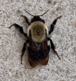 | Bombus griseocollis (De Geer, 1773) | 1911 | not recorded | UrbanaBoneyard Creek;Vermilion River;Salt Fork of Vermilion River |
| Bombus auricomus (Robertson, 1903) | 1912 | not recorded | UrbanaBoneyard Creek;Vermilion River;Salt Fork of Vermilion River | |
| Bombus bimaculatus Cresson, 1863 | 1913 | not recorded | UrbanaBoneyard Creek;Vermilion River;Salt Fork of Vermilion River | |
| Bombus fraternus (Smith, 1854) | 1913 | not recorded | UrbanaBoneyard Creek;Vermilion River;Salt Fork of Vermilion River | |
 | Bombus impatiens Cresson, 1863 | 1914 | not recorded | UrbanaBoneyard Creek;Vermilion River;Salt Fork of Vermilion River |
All 474 specimens within 10 miles, at the Global Biodiversity Information Facility.
Mines and quarries near this place
1 within 5 milesRegional context, not property-specific evidence. The federal mineral resources record lists 1 working within 5 miles of West Union (historical): 1 producer. All of them still produce. What was taken out: Stone, Crushed/Broken. Distance is straight-line from the map coordinates, so a quarry counted here may appear on a neighbouring settlement's page as well.
| Where | Site | Commodity | Status | Recorded |
|---|---|---|---|---|
| Pifer Quarry | Stone, Crushed/Broken | Producer |
Nearest settlements
The eight closest, with where each one stands in the county. Distances are straight-line, computed from the Geographic Names Information System coordinates.
| Map | Place | Distance | Sheets |
|---|---|---|---|
| Williamstown | 1.0 miles | 12 | |
| New Stark | 4.7 miles | 12 | |
| Arlington | 5.1 miles | 14 | |
| Martinstown (historical) | 6.0 miles | 14 | |
| Hassan (historical) | 6.3 miles | 12 | |
| Jenera | 6.8 miles | 14 | |
| Mount Blanchard | 7.4 miles | 13 | |
| Beagle (historical) | 8.0 miles | 14 |
Provenance
This settlement is recorded in the Geographic Names Information System as feature 1063618. The sheet list is computed by point-in-boundary test against the United States Geological Survey's historical topographic inventory. Both are works of the United States government and carry no copyright under 17 U.S.C. 105.
Specimens. Global Biodiversity Information Facility (GBIF), https://www.gbif.org/. Only records licensed CC0 or CC BY are used. Records licensed CC BY-NC are excluded because this site carries advertising. Images are checked individually and any whose licence is non-commercial, no-derivatives or unreadable is refused.
Mines and quarries. USGS Mineral Resources Data System (MRDS) https://mrdata.usgs.gov/mrds/ A work of the United States government, no copyright under 17 U.S.C. 105.