 Block
Block
Williamstown, Ohio
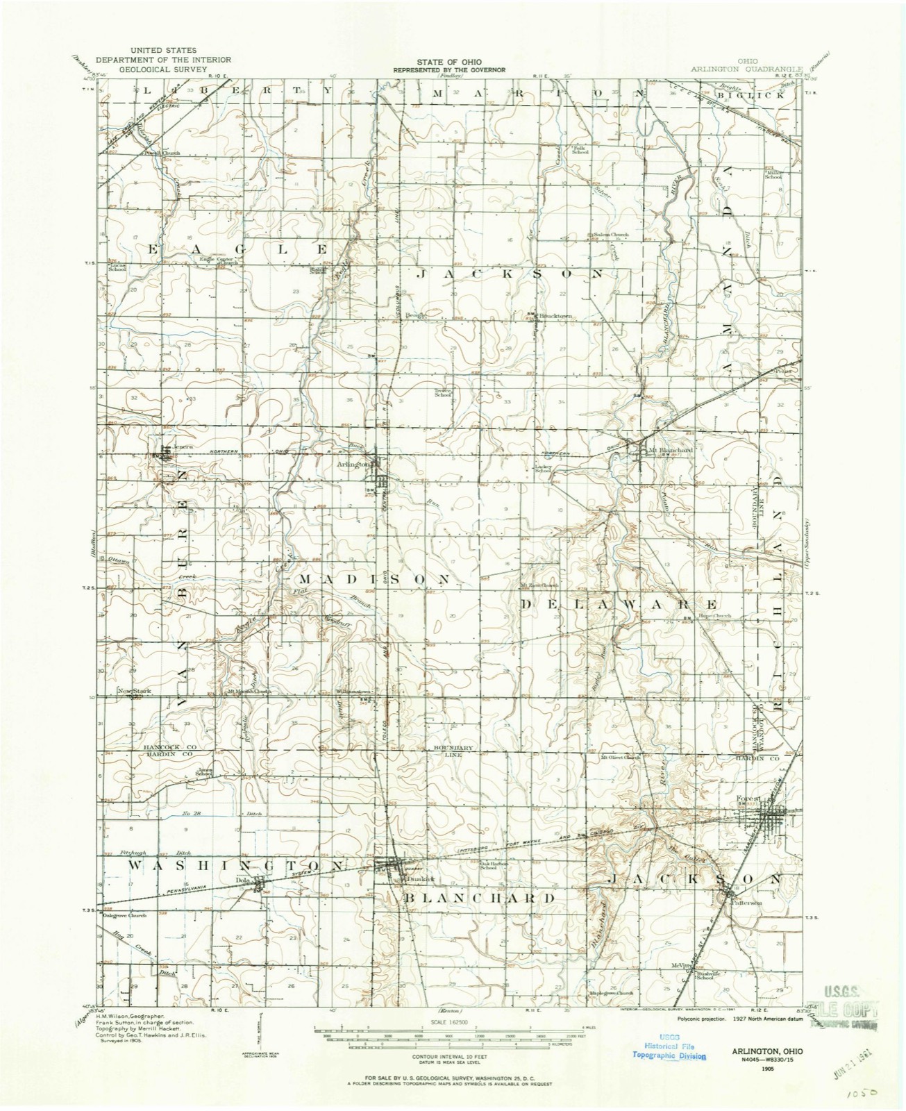
12 topographic sheets cover this place, the earliest surveyed in 1905 and the latest in 1986. It stands in Madison Township. It lies in ZIP code area 45897. The Survey maps it on the Dunkirk quadrangle. It stands 935 feet above sea level.
Then and now
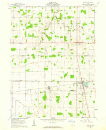
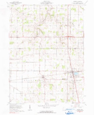
1905 to 1986The same ground, surveyed 81 years apart. Drag the handle to wipe between them. Both sheets are United States Geological Survey originals; neither has been altered.

Topographic sheets covering this place
12 sheetsMatched by testing this settlement's coordinate against the published boundary of every sheet in the United States Geological Survey's historical collection. Each opens the scanned sheet at the Survey.
- 1905 USGS Arlington quadrangle1:62500
- 1907 USGS Arlington quadrangle1:62500
- 1907 USGS Arlington quadrangle1:24000
- 1950 USGS Marion quadrangle1:250000
- 1961 USGS Dunkirk quadrangle1:24000
- 1961 USGS Dunkirk quadrangle1:24000
- 1962 USGS Marion quadrangle1:250000
- 1966 USGS Marion quadrangle1:250000
- 1966 USGS Marion quadrangle1:250000
- 1966 USGS Marion quadrangle1:250000
- 1986 USGS Marion quadrangle1:100000
- 1986 USGS Marion quadrangle1:100000







In the county-history sources
11,976 words on this townshipHistory of Hancock County [Ohio] from Its Earliest Settlement to the Present Time, Together with Remeiniscenses of Pioneer Life, Incidents, Statistical Tables, and Biographical Sketches, published 1881 names this settlement in its chapter on Madison Township. These are the passages that mention it, exactly as the scans read.
John W. Williams, one of the early settlers, and proprietor of the village of Williamstown, died but a few years ago, at a ripe old age, and was perhaps at the time of his death the oldest person in the township. Mr. Williams was Post Master for many years, and was ten times elected Justice of the Peace. He commanded the confidence and respect of his neighbors, and had many friends.
Passage source: History of Hancock County [Ohio] from Its Earliest Settlement to the Present Time, Together with Remeiniscenses of Pioneer Life, Incidents, Statistical Tables, and Biographical Sketches, published 1881.
Andrew Rickets, after a long and useful life, died but a few years since, leaving his family a goodly heritage, accumulated by industry and frugality. His widow, a very estimable lady, and a fair specimen of the goodly dames of the early years of the township, now resides in Findley, respected by all who know her,
Passage source: History of Hancock County [Ohio] from Its Earliest Settlement to the Present Time, Together with Remeiniscenses of Pioneer Life, Incidents, Statistical Tables, and Biographical Sketches, published 1881.
The village is about fourteen miles directly south of Findley, and about three miles from the Hardin County line. The business of the town consists of one steam saw, shingle and lath mill, by William Ileacock ; a wagon and carriage shop, by Joseph Phillipi ; a shoe shop, by William Knight ; a blacksmith shop, by William Vanscoich ; two grocery stores, one by J. B. DeHaven, and one by Cramer & Crabill, and one physician. Population 128.
Passage source: History of Hancock County [Ohio] from Its Earliest Settlement to the Present Time, Together with Remeiniscenses of Pioneer Life, Incidents, Statistical Tables, and Biographical Sketches, published 1881.
Machine-read from a century-old scan, so expect the errors a machine makes: misspelled names, dropped words, stray characters.
Read the whole chapter on Madison Township - it names this place 4 more 4 times.
Specimens collected near this place
12 of 525 shownRegional context, not property-specific evidence. Museums hold 525 specimens collected within 10 miles of Williamstown between 1886 and 1973: 518 Animalia, 7 Fungi. 12 distinct Species records are shown. Collected by Collector(s): David E. Ferguson, F GEHLBACH, F R & N V GEHLBACH and others. Each is a physical object with a catalogue number, and each entry opens the museum's record. This is what was collected and kept, not a survey of what lives here - nothing can be concluded from a species being absent.
| Image | Species | Year | Collected by | Where, as recorded |
|---|---|---|---|---|
 | Bombus lucorum (Linnaeus, 1761) | 1886 | not recorded | UrbanaBoneyard Creek;Vermilion River;Salt Fork of Vermilion River |
 | Bombus bohemicus Seidl, 1838 | 1887 | not recorded | UrbanaBoneyard Creek;Vermilion River;Salt Fork of Vermilion River |
 | Bombus pascuorum (Scopoli, 1763) | 1895 | not recorded | UrbanaBoneyard Creek;Vermilion River;Salt Fork of Vermilion River |
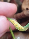 | Puccinia mariae-wilsoniae Clinton | 1901 | W. A. Kellerman | Arlington |
 | Bombus pensylvanicus (De Geer, 1773) | 1905 | not recorded | UrbanaBoneyard Creek;Vermilion River;Salt Fork of Vermilion River |
 | Bombus fervidus (Fabricius, 1798) | 1906 | not recorded | UrbanaBoneyard Creek;Vermilion River;Salt Fork of Vermilion River |
| Bombus variabilis (Cresson, 1872) | 1907 | not recorded | UrbanaBoneyard Creek;Vermilion River;Salt Fork of Vermilion River | |
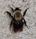 | Bombus griseocollis (De Geer, 1773) | 1911 | not recorded | UrbanaBoneyard Creek;Vermilion River;Salt Fork of Vermilion River |
| Bombus auricomus (Robertson, 1903) | 1912 | not recorded | UrbanaBoneyard Creek;Vermilion River;Salt Fork of Vermilion River | |
| Bombus bimaculatus Cresson, 1863 | 1913 | not recorded | UrbanaBoneyard Creek;Vermilion River;Salt Fork of Vermilion River | |
| Bombus fraternus (Smith, 1854) | 1913 | not recorded | UrbanaBoneyard Creek;Vermilion River;Salt Fork of Vermilion River | |
 | Bombus impatiens Cresson, 1863 | 1914 | not recorded | UrbanaBoneyard Creek;Vermilion River;Salt Fork of Vermilion River |
All 525 specimens within 10 miles, at the Global Biodiversity Information Facility.
Mines and quarries near this place
1 within 5 milesRegional context, not property-specific evidence. The federal mineral resources record lists 1 working within 5 miles of Williamstown: 1 producer. All of them still produce. What was taken out: Stone, Crushed/Broken. Distance is straight-line from the map coordinates, so a quarry counted here may appear on a neighbouring settlement's page as well.
| Where | Site | Commodity | Status | Recorded |
|---|---|---|---|---|
| Pifer Quarry | Stone, Crushed/Broken | Producer |
Storms near this place
2 since 2022Regional context, not property-specific evidence. The National Weather Service names Williamstown in 2 storm reports between 2022 and 2026: 1 thunderstorm wind, 1 hail. No death or injury is recorded in these reports. Each account below is quoted exactly as the forecast office filed it, from the NOAA Storm Events Database, and each date opens the federal record of that event.
| When | Event | Place named | Harm | What the report says |
|---|---|---|---|---|
| March 2026 | Hail | Williamstown | - | Hail up to quarter-size in Williamstown. |
| May 2022 | Thunderstorm Wind | Williamstown | - | Several small trees and large limbs downed about three-miles south of Arlington. |
Nearest settlements
The eight closest, with where each one stands in the county. Distances are straight-line, computed from the Geographic Names Information System coordinates.
| Map | Place | Distance | Sheets |
|---|---|---|---|
| West Union (historical) | 1.0 miles | 12 | |
| Arlington | 4.1 miles | 14 | |
| New Stark | 4.6 miles | 12 | |
| Martinstown (historical) | 5.0 miles | 14 | |
| Jenera | 6.1 miles | 14 | |
| Hassan (historical) | 6.2 miles | 12 | |
| Mount Blanchard | 6.7 miles | 13 | |
| Beagle (historical) | 7.0 miles | 14 |
Elsewhere
Matched on this settlement's Geographic Names Information System number rather than its name, so it cannot be a different place of the same name in another state.
| Wikipedia article on Williamstown | An encyclopaedic summary. Its text is share-alike, so it is linked here rather than copied. |
| Wikidata item Q8021290 | The structured record the population and elevation above come from. Public domain (CC0). |
Provenance
This settlement is recorded in the Geographic Names Information System as feature 1061786. The sheet list is computed by point-in-boundary test against the United States Geological Survey's historical topographic inventory. Both are works of the United States government and carry no copyright under 17 U.S.C. 105.
Specimens. Global Biodiversity Information Facility (GBIF), https://www.gbif.org/. Only records licensed CC0 or CC BY are used. Records licensed CC BY-NC are excluded because this site carries advertising. Images are checked individually and any whose licence is non-commercial, no-derivatives or unreadable is refused.
Mines and quarries. USGS Mineral Resources Data System (MRDS) https://mrdata.usgs.gov/mrds/ A work of the United States government, no copyright under 17 U.S.C. 105.
Storms. NOAA National Centers for Environmental Information, Storm Events Database https://www.ncei.noaa.gov/stormevents/ A work of the United States government, no copyright under 17 U.S.C. 105. Narratives are quoted verbatim from the National Weather Service report and are not edited or summarised.