 Block
Block
Willshire, Ohio
13 topographic sheets cover this place, the earliest surveyed in 1911 and the latest in 1986. It stands in Willshire Township. It lies in ZIP code area 45898. It stands on Duck Creek. The Survey maps it on the Willshire quadrangle. 405 people lived here at the 2020 count. It stands 797 feet above sea level.
Population over time
2 figuresWillshire grew from 397 to 405 between 2010 and 2020. These are the recorded population figures Wikidata holds for this place, reached through the Geographic Names Information System number this page is keyed on rather than by name, so they belong to this place and not to another of the same name. Most are census counts, but not all are: an early figure may be a founding or settlement estimate. The change column is computed, and is left blank where more than 20 years separate a figure from the one before it, because a gap that long is not a change between two counts.
| Year | People | Change |
|---|---|---|
| 2010 | 397 | |
| 2020 | 405 | +8 (+2%) |
Then and now
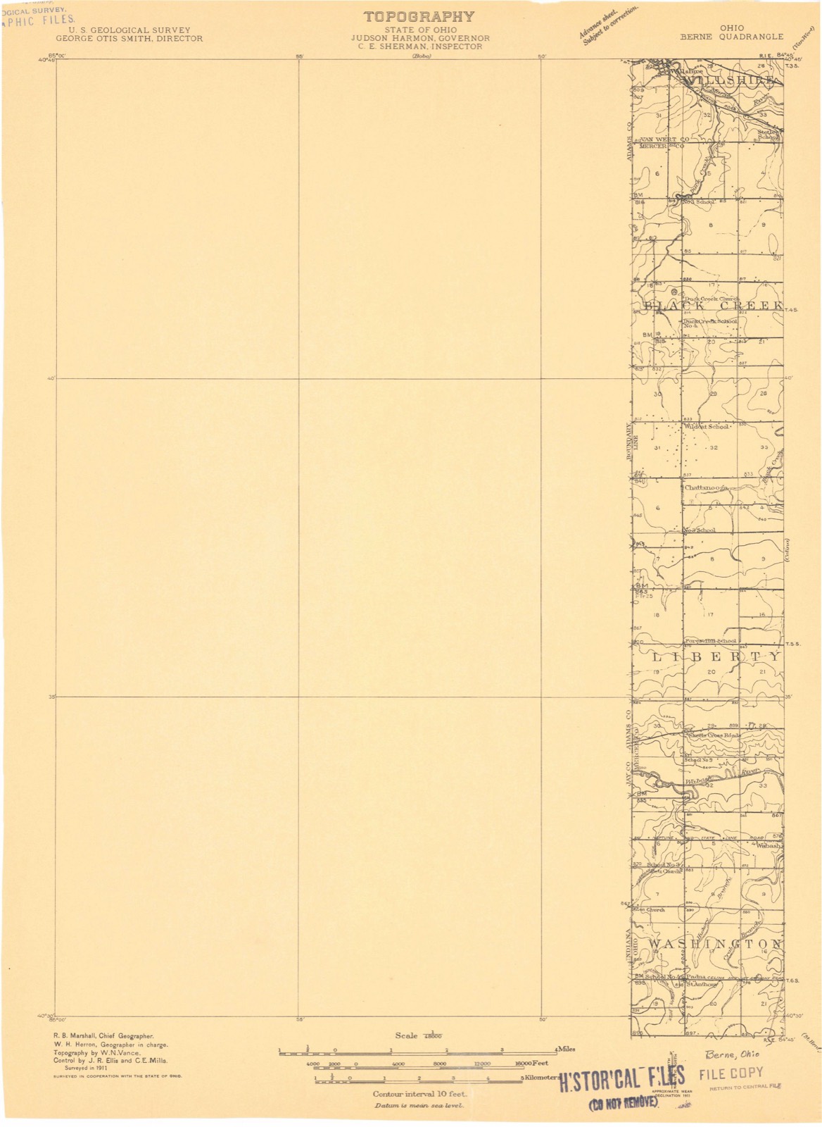
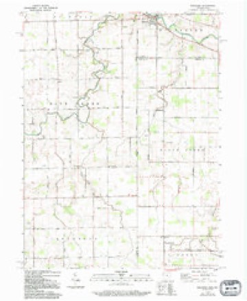
1911 to 1986The same ground, surveyed 75 years apart. Drag the handle to wipe between them. Both sheets are United States Geological Survey originals; neither has been altered.

Compare 1911 against another survey:
Topographic sheets covering this place
13 sheetsMatched by testing this settlement's coordinate against the published boundary of every sheet in the United States Geological Survey's historical collection. Each opens the scanned sheet at the Survey.
- 1911 USGS Berne quadrangle1:48000
- 1953 USGS Muncie quadrangle1:250000
- 1953 USGS Muncie quadrangle1:250000
- 1953 USGS Muncie quadrangle1:250000
- 1953 USGS Muncie quadrangle1:250000
- 1953 USGS Muncie quadrangle1:250000
- 1956 USGS Muncie quadrangle1:250000
- 1960 USGS Willshire quadrangle1:24000
- 1960 USGS Willshire quadrangle1:24000
- 1960 USGS Willshire quadrangle1:24000
- 1986 USGS Lima quadrangle1:100000
- 1986 USGS Lima quadrangle1:100000
- 1986 USGS Lima quadrangle1:100000









Specimens collected nearby
12 of 64 shownMuseums hold 64 specimens collected within 10 miles of Willshire between 1850 and 1970: 61 Animalia, 3 Plantae. 12 distinct Species records are shown. Collected by H. Price, Moser, M. A. (Marshall A.) & Moser, J. A. (Jill A.), P. Kirsch and others. Each is a physical object with a catalogue number, and each entry opens the museum's record. This is what was collected and kept, not a survey of what lives here - nothing can be concluded from a species being absent.
| Image | Species | Year | Collected by | Where, as recorded |
|---|---|---|---|---|
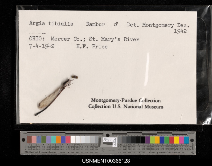 | Argia tibialis (Rambur, 1842) | 1942 | H. Price | St. Mary's River |
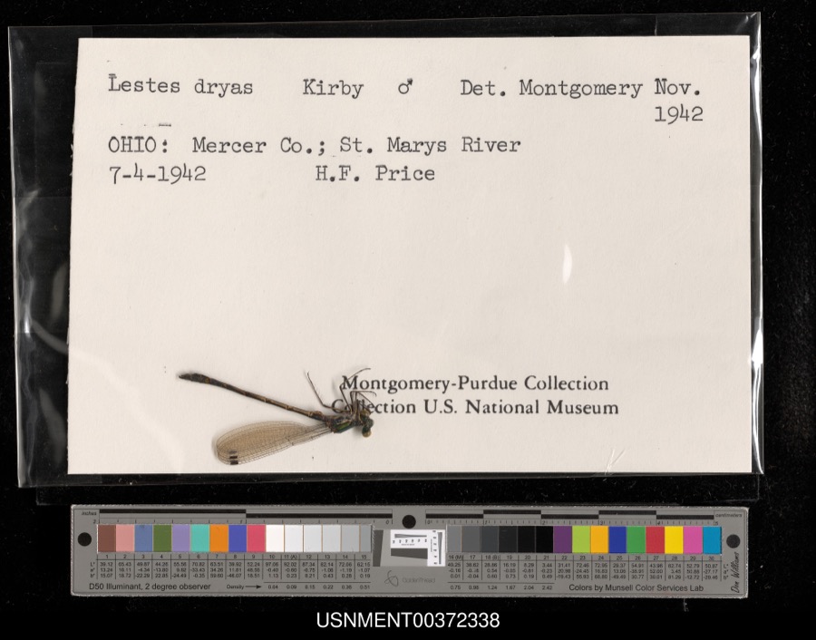 | Lestes dryas Kirby, 1890 | 1942 | H. Price | St. Mary's River |
 | Cerastium glomeratum Thuill. | 1850 | not recorded | Ohio City. |
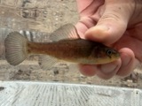 | Aphredoderus sayanus (Gilliams, 1824) | 1893 | P. Kirsch | St. Marys River, Rockford, Ohio |
 | Campostoma anomalum anomalum | 1930 | Trautman, M. B. (Milton Bernard) & Foster, R. (Robert) | Saint Marys River, no more precise locality provided, near Willshire OH, western Willshire Township |
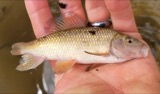 | Erimyzon oblongus claviformis (Girard, 1856) | 1930 | Trautman, M. B. (Milton Bernard) & Foster, R. (Robert) | Saint Marys River, no more precise locality provided, near Willshire OH, western Willshire Township |
 | Etheostoma nigrum Rafinesque, 1820 | 1930 | Trautman, M. B. (Milton Bernard) & Foster, R. (Robert) | Saint Marys River, no more precise locality provided, near Willshire OH, western Willshire Township |
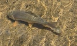 | Moxostoma anisurum (Rafinesque, 1820) | 1930 | Trautman, M. B. (Milton Bernard) & Foster, R. (Robert) | Saint Marys River, no more precise locality provided, near Willshire OH, western Willshire Township |
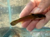 | Noturus flavus Rafinesque, 1818 | 1930 | Trautman, M. B. (Milton Bernard) & Foster, R. (Robert) | Saint Marys River, no more precise locality provided, near Willshire OH, western Willshire Township |
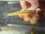 | Percina caprodes (Rafinesque, 1818) | 1930 | Trautman, M. B. (Milton Bernard) & Foster, R. (Robert) | Saint Marys River, no more precise locality provided, near Willshire OH, western Willshire Township |
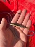 | Percina maculata (Girard, 1859) | 1930 | Trautman, M. B. (Milton Bernard) & Foster, R. (Robert) | Saint Marys River, no more precise locality provided, near Willshire OH, western Willshire Township |
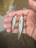 | Phenacobius mirabilis (Girard, 1856) | 1930 | Trautman, M. B. (Milton Bernard) & Foster, R. (Robert) | Saint Marys River, no more precise locality provided, near Willshire OH, western Willshire Township |
All 64 specimens within 10 miles, at the Global Biodiversity Information Facility.
Storms nearby
19 since 1995The National Weather Service names Willshire in 19 storm reports between 1995 and 2022: 11 thunderstorm wind, 5 tornado, 1 hail, 1 flash flood. The reports record 2 deaths and 17 injuries. Each account below is quoted exactly as the forecast office filed it, from the NOAA Storm Events Database, and each date opens the federal record of that event.
| When | Event | Place named | Harm | What the report says |
|---|---|---|---|---|
| November 2002 | Tornado (F4) | Willshire | 2 killed, 17 hurt, $30,000,000 | This tornado touched down in the southwest corner of Van Wert County about 4 miles northeast of Willshire and moved northeast across the western portion of the city of Van Wert, and then crossed U.S. 30 and continued northeast before exiting the county about 7 miles east of Scott. NWS ground and aerial surveys showed the tornado quickly intensified to F4 about 5 miles southwest of the city of Van Wert near Zook road, where a 75 year old male was killed in his home. The tornado continued moving northeast as an F4 into the city of Van Wert, were it hit the Twin Cinemas and the Vision Industrial Park. At this point the tornado was about one half mile wide. 60 persons watching a movie in the cinemas, mostly children, took shelter before the tornado hit, with only minor injuries. Vehicles from the parking lot were thrown into the seats where the children had been sitting. An 18 year old male driving past the cinemas was thrown from his vehicle and killed. The tornado then destroyed five industries in the Vision Industrial Park, before moving north of U.S. 30, producing F4 damage to additional businesses and homes. The tornado weakened to F3 as it moved northeast and crossed into Paulding county. 164 homes were damaged in Van Wert county, and 43 were totally destroyed. 27 businesses sustained damage, with 5 totally destroyed in Vision Park. Three county engineer buildings were destroyed, with one house used by a township. Total damage in Van Wert county was near 30 million dollars. |
| June 2006 | Thunderstorm Wind | Willshire | $100,000 | Widespread trees and power lines down. All roads closed in town due to being blocked by downed trees and power lines. Numerous homes and barns sustained structural damage, both from wind, and from falling trees. A grain elevator sustained significant damage, and the village's communication system was destroyed. |
| February 2008 | Flood | Willshire | $50,000 | Several county roads were closed due to high water, including State Route 49 just north of Wilshire. |
| June 1998 | Tornado (F1) | Willshire | $25,000 | Emergency management reported F1 damage from a tornado northeast of Willshire. The tornado was on the ground for one and one half miles, touching down 2 miles northeast of Willshire and lifting 3 and one half miles northeast of Willshire. F1 damage was a leveled barn and trees uprooted and torn out of the ground. The tornado was about 75 yards wide at its widest point.. |
| June 2006 | Tornado (F0) | Willshire | $20,000 | Very brief touchdown near the intersection of Harrison Willshire Rd. and state route 81. Several storage sheds, silos, grain elevators, and trees sustained damage. |
| June 2006 | Tornado (F1) | Willshire | $15,000 | Brief touchdown near the intersection of state route 81 and Glenmore Rd. A garage sustained significant structural damage. Total path length was about 100 yards. |
| June 1995 | Thunderstorm Wind | Willshire | $3,000 | Large trees were downed, some across a county road. |
| October 1996 | Thunderstorm Wind | Willshire | $3,000 | no account filed |
| July 1999 | Thunderstorm Wind | Willshire | $500 | Untied mobile home blown over |
| June 2022 | Thunderstorm Wind | Willshire | - | A trained spotter estimated wind gusts to 70 mph just north of Willshire. |
| June 2013 | Tornado (EF0) | Willshire | - | A circulation touched down on the west side of Willshire, along State Road 81 near the Indiana/Ohio State Line. The tornado traveled southeast down Green Street to the intersection of Green Street and State Route 49. An eyewitness observed the funnel make contact with the ground in his yard, snap off two large trees and continue down the street. The survey revealed additional tree damage along the path. Another eyewitness observed condensation vortices being injected into the funnel as his garage was rolled off its foundation. A portion of a house roof was removed and thrown over a neighbors home. A total of 13 homes suffered varying degrees of damage. The circulation was on the ground less than 3 minutes with a maximum width of 80 yards and maximum wind speeds around 85 mph. The same storm continued into Mercer County and later produced another weak tornado. |
| March 2006 | Thunderstorm Wind | Willshire | - | A semi was blown over while in motion on US 33 near Wilshire. No injuries were reported. |
| August 2003 | Thunderstorm Wind | Willshire | - | Power line reported down in the area. |
| July 2003 | Flash Flood | Willshire | - | Emergency management reported several roads closed in and around Wilshire due to flash flooding. |
| July 2002 | Thunderstorm Wind | Willshire | - | Emergency management reported trees down in Willshire. |
| July 2002 | Thunderstorm Wind | Willshire | - | Emergency management reported power lines down in Willshire. |
| July 2002 | Thunderstorm Wind | Willshire | - | Emergency management reported power lines down in Van Wert. |
| July 1998 | Thunderstorm Wind | Willshire | - | TREES DOWN AND POWER LINES DOWN. SOME MINOR DAMAGE TO HOMES. |
| May 1998 | Hail | Willshire | - | no account filed |
Nearest settlements
The eight closest, with where each one stands in the county. Distances are straight-line, computed from the Geographic Names Information System coordinates.
Elsewhere
Matched on this settlement's Geographic Names Information System number rather than its name, so it cannot be a different place of the same name in another state.
| Wikipedia article on Willshire | An encyclopaedic summary. Its text is share-alike, so it is linked here rather than copied. |
| Wikidata item Q2587505 | The structured record the population and elevation above come from. Public domain (CC0). |
Provenance
This settlement is recorded in the Geographic Names Information System as feature 1061791. The sheet list is computed by point-in-boundary test against the United States Geological Survey's historical topographic inventory. Both are works of the United States government and carry no copyright under 17 U.S.C. 105.
Specimens. Global Biodiversity Information Facility (GBIF), https://www.gbif.org/. Only records licensed CC0 or CC BY are used. Records licensed CC BY-NC are excluded because this site carries advertising. Images are checked individually and any whose licence is non-commercial, no-derivatives or unreadable is refused.
Storms. NOAA National Centers for Environmental Information, Storm Events Database https://www.ncei.noaa.gov/stormevents/ A work of the United States government, no copyright under 17 U.S.C. 105. Narratives are quoted verbatim from the National Weather Service report and are not edited or summarised.