 Block
Windsor Mills, Ohio
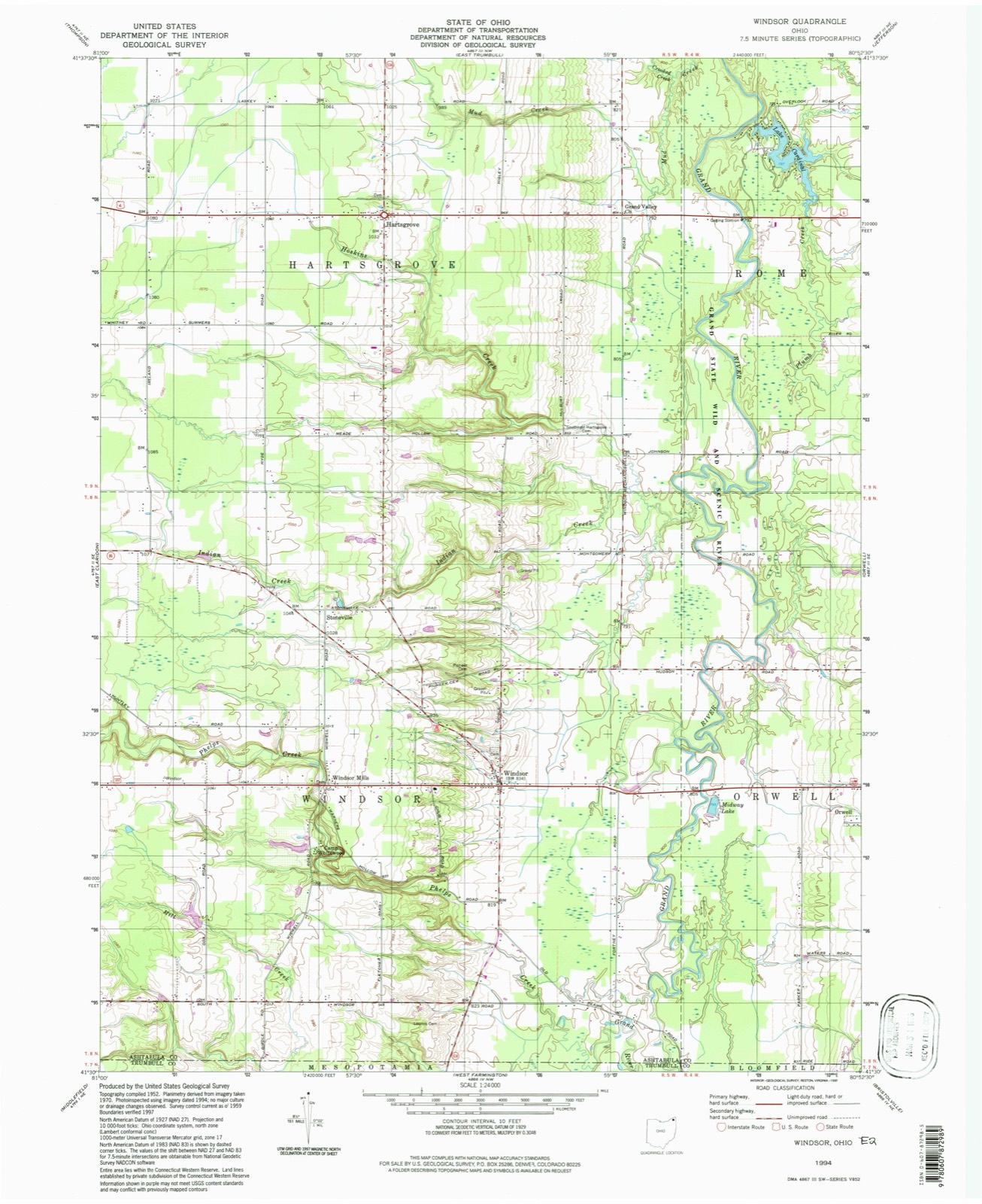
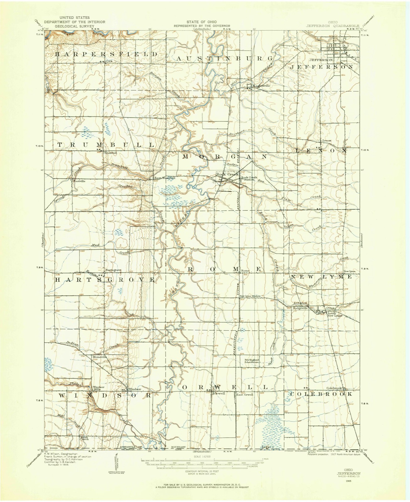
11 topographic sheets cover this place, the earliest surveyed in 1905 and the latest in 1994. It stands in Windsor Township. It lies in ZIP code area 44099. The Survey maps it on the Windsor quadrangle.
Then and now
1905 to 1994The same ground, surveyed 89 years apart. Drag the handle to wipe between them. Both sheets are United States Geological Survey originals; neither has been altered.
Compare 1905 against another survey:
On record in Windsor Mills
Buildings and businesses the archive holds for this place. Each opens its own page, with the source record it came from.
On the National Register 2 records
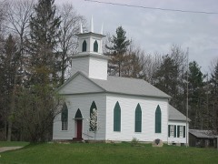 Windsor Mills Christ Church Episcopallisted 1975
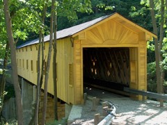 Wiswell Road Covered Bridgelisted 1973
Topographic sheets covering this place
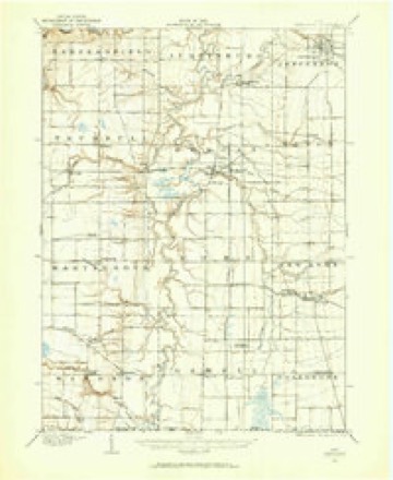
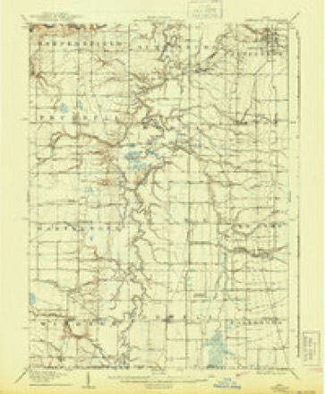
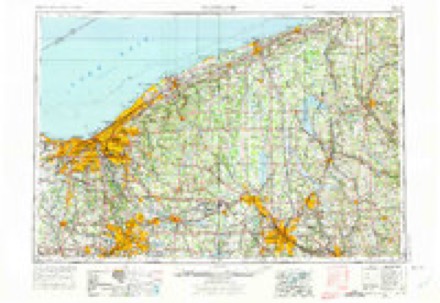
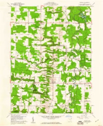
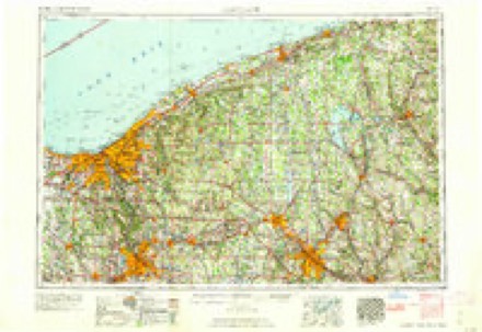
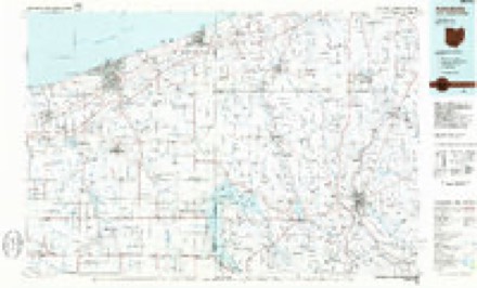
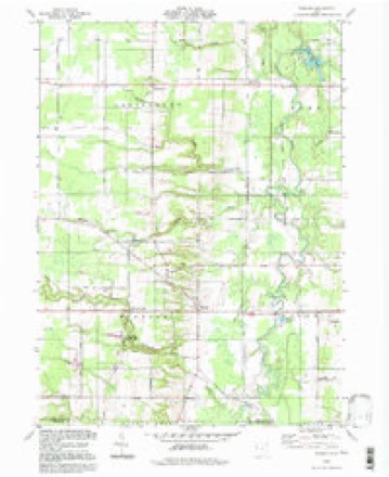
7 surveys from 11 printed sheetsMatched by testing this settlement's coordinate against the published boundary of every sheet in the United States Geological Survey's historical collection. Each opens the scanned sheet at the Survey.
- 1905 USGS Jefferson quadrangle1:62500
- 1907 USGS Jefferson quadrangle1:62500
- 1956 USGS Cleveland quadrangle1:250000, 3 printings
- 1959 USGS Windsor quadrangle1:24000, 2 printings
- 1962 USGS Cleveland quadrangle1:250000
- 1986 USGS Ashtabula quadrangle1:100000, 2 printings
- 1994 USGS Windsor quadrangle1:24000
What happened here
An account from the chapter on Windsor township. The inset identifies its exact source book and publication year.
First Birth
Eliza Griswold Phelps was the first white child born on the soil of Windsor, and there were some noteworthy incidents in her life. A residence of six months in the township of her nativity was followed by her removal with her father's family to Warren. Here, when she was two or three years old, while playing on the banks of the Mahoning, she fell into the river, and was rescued from drowning by a pet bear who often accompanied her in her playful sports, and on this occasion was her playfellow.
In the county-history sources
43,801 words on this townshipHistory of Ashtabula County, Ohio, published 1878 names this settlement in its chapter on Windsor Township. These are the passages that mention it, exactly as the scans read.
The Griswold family were Episcopalians, Mr. Griswold being an active and efficient worker in that church. To this denomination belonged also the Hill family and the Cook family, the Aldermans and Skinners. In 1816 this society erected the first church building in Windsor, on lot 7, range 3, across the road from the house now owned and occupied by Hiram Griswold. Judge Solomon Griswold contributed the greater part towards its erection, and it was familiarly known as " Solomon's temple." In 1832 a neat and well-built Episcopal church building was erected one-half mile west of the centre of Windsor, at the corners known as Windsor Mills. The house was dedicated by Bishop Mcllvaine. The church at present numbers but few members, and has no settled pastor.
Passage source: History of Ashtabula County, Ohio, published 1878.
The Wesleyan Methodists organized a church at Windsor Mills about the year 1844. and in the year 1852 or 1853 a church was organized in the southwest part of the township, where, soon after, they erected their present church building, in lot 1, range 7. Their membership is very small at present. Rev. Mr. Hayes, a resident of Middlefield, Geauga county, is their pastor.
Passage source: History of Ashtabula County, Ohio, published 1878.
Machine-read from a century-old scan, so expect the errors a machine makes: misspelled names, dropped words, stray characters.
Read the whole chapter on Windsor Township - it names this place 1 more 1 time.
Specimens collected near this place
12 of 785 shownRegional context, not property-specific evidence. Museums hold 785 specimens collected within 10 miles of Windsor Mills between 1890 and 1975: 748 Animalia, 28 Fungi, 9 Plantae. 12 distinct Species records are shown. Collected by A.E. Daugherty, Acker, G. G. & Class, Athearn, Herbert D. and others. Each is a physical object with a catalogue number, and each entry opens the museum's record. This is what was collected and kept, not a survey of what lives here - nothing can be concluded from a species being absent.
| Image | Species | Year | Collected by | Where, as recorded |
|---|---|---|---|---|
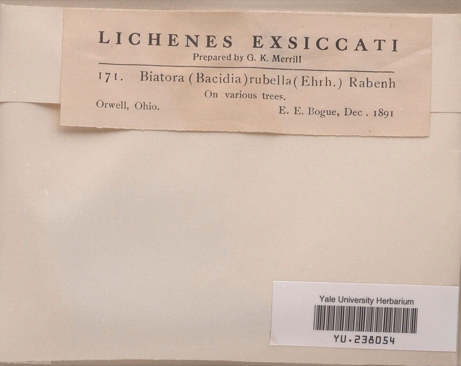 | Bacidia rubella (Hoffm.) A.Massal. | 1891 | Ernst E. Bogue | |
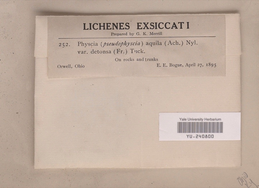 | Anaptychia aquila (Ach.) A.Massal. | 1895 | Ernst E. Bogue | |
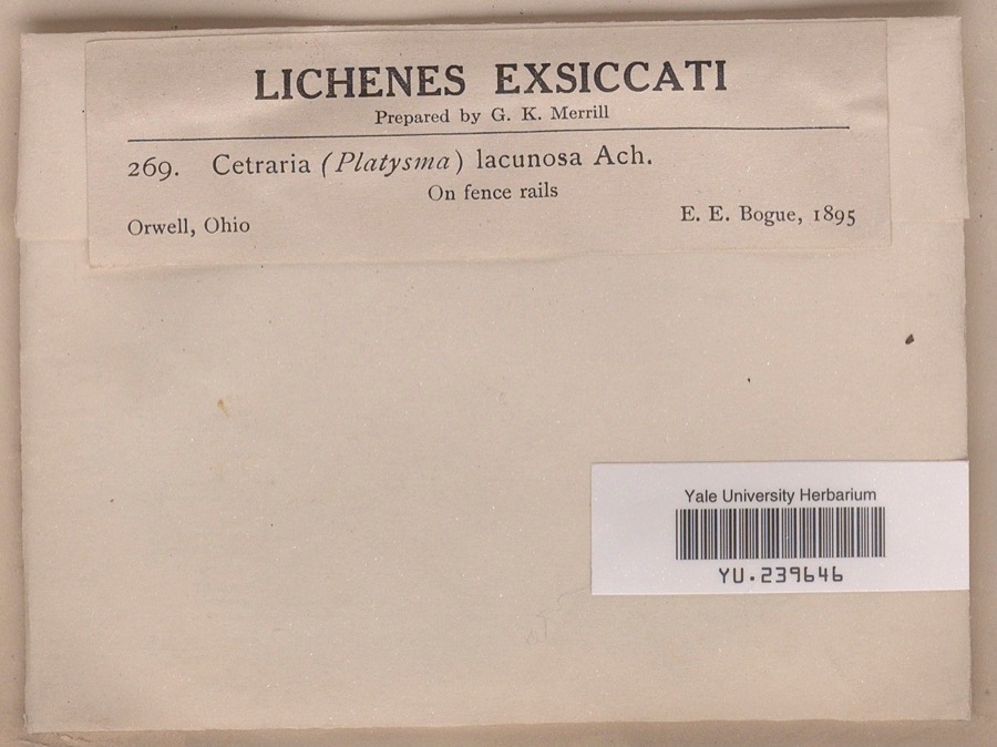 | Cetraria lacunosa Ach. | 1895 | Ernst E. Bogue | |
 | Cardamine douglassii Britton | 1890 | E. E. Bogue | Orwell. |
 | Conopholis americana (L.) Wallr. | 1890 | E. E. Bogue | Orwell. |
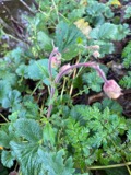 | Geum rivale L. | 1890 | E. E. Bogue | Orwell. |
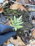 | Sceptridium dissectum (Spreng.) Lyon | 1890 | E. E. Bogue | Orwell |
 | Bacidia luteola (Ach.) Mudd | 1891 | E. E. Bogue | |
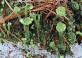 | Cladonia pyxidata (L.) Hoffm. | 1891 | Bogue, E.E. | Orwell; 41.535055 -80.868144 |
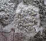 | Lecanora caesiorubella subsp. caesiorubella | 1891 | E. E. Bogue | Orwell |
 | Physcia stellaris (L.) Nyl. | 1891 | Bogue, E. E. | Orwell |
| Anzia colpodes (Ach.) Stizenb. | 1892 | E. E. Bogue | Orwell |
All 785 specimens within 10 miles, at the Global Biodiversity Information Facility.
Mines and quarries near this place
2 within 5 milesRegional context, not property-specific evidence. The federal mineral resources record lists 2 workings within 5 miles of Windsor Mills: 1 past producer, 1 producer. 1 still produces. What was taken out: Sand and Gravel, Construction. Distance is straight-line from the map coordinates, so a quarry counted here may appear on a neighbouring settlement's page as well.
| Where | Site | Commodity | Status | Recorded |
|---|---|---|---|---|
| Springbrook Pit | Sand and Gravel, Construction | Past Producer | Sedimentary | |
| Springbrook Pit | Sand and Gravel, Construction | Producer |
Nearest settlements
The eight closest, with where each one stands in the county. Distances are straight-line, computed from the Geographic Names Information System coordinates.
| Map | Place | Distance | Sheets |
|---|---|---|---|
| Stoneville | 1.5 miles | 11 | |
| Windsor | 1.5 miles | 11 | |
| Hartsgrove | 4.9 miles | 11 | |
| Orwell | 5.0 miles | 13 | |
| Asbury Park | 5.9 miles | 13 | |
| East Orwell | 6.3 miles | 13 | |
| Rome | 7.0 miles | 13 | |
| New Lyme Station | 7.3 miles | 13 |
Elsewhere
Matched on this settlement's Geographic Names Information System number rather than its name, so it cannot be a different place of the same name in another state.
| Wikidata item Q122590894 | The structured record the population and elevation above come from. Public domain (CC0). |
Provenance
This settlement is recorded in the Geographic Names Information System as feature 1047998. The sheet list is computed by point-in-boundary test against the United States Geological Survey's historical topographic inventory. Both are works of the United States government and carry no copyright under 17 U.S.C. 105.
Specimens. Global Biodiversity Information Facility (GBIF), https://www.gbif.org/. Only records licensed CC0 or CC BY are used. Records licensed CC BY-NC are excluded because this site carries advertising. Images are checked individually and any whose licence is non-commercial, no-derivatives or unreadable is refused.
Mines and quarries. USGS Mineral Resources Data System (MRDS) https://mrdata.usgs.gov/mrds/ A work of the United States government, no copyright under 17 U.S.C. 105.