 Block
Block
Wrightsville, Ohio
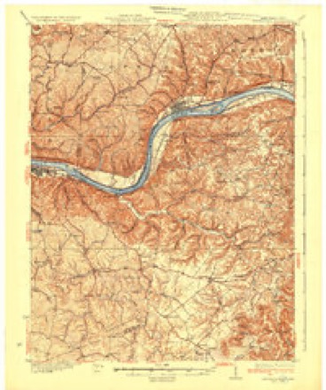
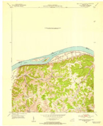
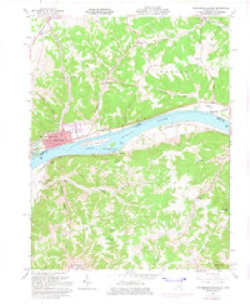
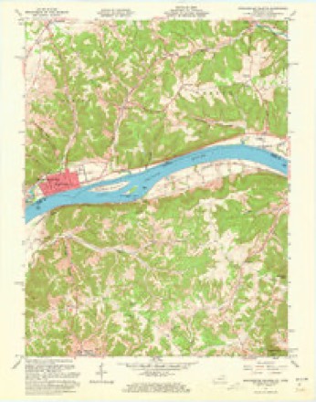
14 topographic sheets cover this place, the earliest surveyed in 1929 and the latest in 1991. It stands in Monroe Township. It lies in ZIP code area 45144. It stands on Donaldson Creek. The Survey maps it on the Manchester Islands quadrangle.
Then and now
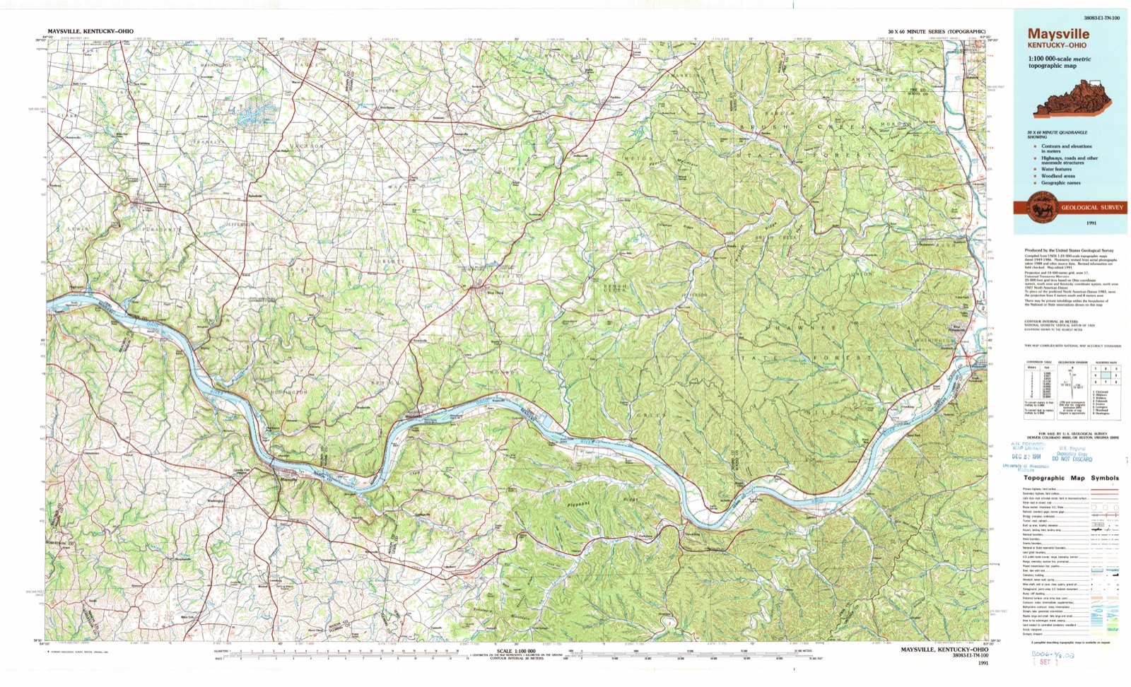
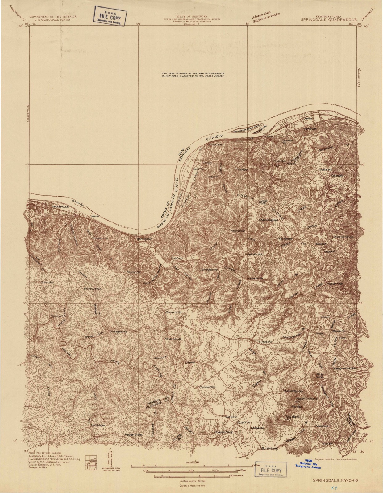
1929 to 1991The same ground, surveyed 62 years apart. Drag the handle to wipe between them. Both sheets are United States Geological Survey originals; neither has been altered.
Topographic sheets covering this place
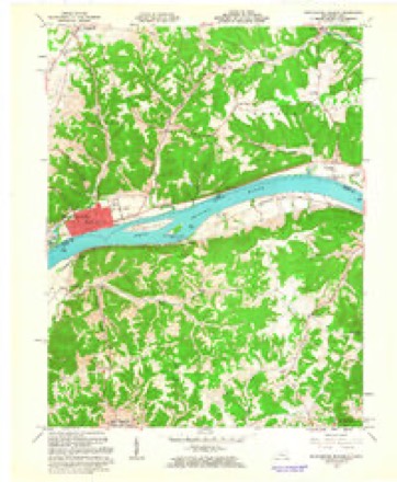
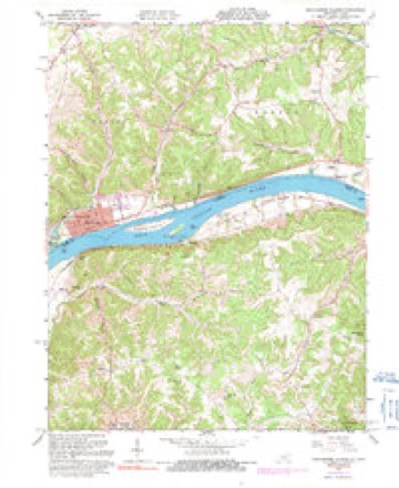
14 sheetsMatched by testing this settlement's coordinate against the published boundary of every sheet in the United States Geological Survey's historical collection. Each opens the scanned sheet at the Survey.
- 1929 USGS Springdale quadrangle1:48000
- 1929 USGS Springdale quadrangle1:62500
- 1935 USGS Springdale quadrangle1:62500
- 1952 USGS Manchester Islands quadrangle1:24000
- 1957 USGS Huntington quadrangle1:250000
- 1957 USGS Huntington quadrangle1:250000
- 1957 USGS Huntington quadrangle1:250000
- 1960 USGS Huntington quadrangle1:250000
- 1961 USGS Manchester Islands quadrangle1:24000
- 1961 USGS Manchester Islands quadrangle1:24000
- 1961 USGS Manchester Islands quadrangle1:24000
- 1961 USGS Manchester Islands quadrangle1:24000
- 1986 USGS Maysville quadrangle1:100000
- 1991 USGS Maysville quadrangle1:100000
In the county-history sources
2,667 words on this townshipA History of Adams County, Ohio, from Its Earliest Settlement to the Present Time, Including Character Sketches of the Prominent Persons Identified with the First Century of the Country's Growth .., published 1900 names this settlement in its chapter on Monroe Township. These are the passages that mention it, exactly as the scans read.
This is the name given to that portion of the highlands of Monroe Township where the first settlers of Manchester located their one hundred acre tracts of land given them by Nathaniel Massie after a residence of two years at Manchester in accordance with the terms of the agreement made between him and them on December 29, 1790. Massie reserved one thousand acres on the high table-lands overlooking the Ohio River about one mile below Wrightsville, Here was built Buckeye Station in 1796, for a full description of which see this volume under the heading, "The Oldest House in Ohio."
Passage source: A History of Adams County, Ohio, from Its Earliest Settlement to the Present Time, Including Character Sketches of the Prominent Persons Identified with the First Century of the Country's Growth .., published 1900.
It is said that the first schoolhouse in the township was on the old Lewis Bible farm and was built in 1802. James Lane was the first teacher. The second one was on the farm of Arthur Ellison, where the first election was held, John Barritt, teacher. The township business for years was transacted here, and hence the name "State House" was applied to it. There are now ten sub-districts with the following enroll^ ment the present year:
Passage source: A History of Adams County, Ohio, from Its Earliest Settlement to the Present Time, Including Character Sketches of the Prominent Persons Identified with the First Century of the Country's Growth .., published 1900.
Wrightsville lies on the right bank ot the Ohio River about six miles above Manchester. It was laid out by James Hobson, April 22, 1847, on a plat of 144 lots. The situation is pleasant and there is ample room for a city, but the place seems never to have flourished although it is the nearest shipping point from West Union to the Ohio River.
Passage source: A History of Adams County, Ohio, from Its Earliest Settlement to the Present Time, Including Character Sketches of the Prominent Persons Identified with the First Century of the Country's Growth .., published 1900.
Machine-read from a century-old scan, so expect the errors a machine makes: misspelled names, dropped words, stray characters.
Read the whole chapter on Monroe Township - it names this place 3 more 3 times.
Fires near this place
22 since 2000Regional context, not property-specific evidence. The federal wildfire occurrence database lists 22 fires within 5 miles of Wrightsville between 2000 and 2020, burning about 379 acres in total. None started naturally. 10 were recorded as arson. Distance is straight-line from the map coordinates, so a fire counted here may appear on a neighbouring settlement's page as well.
| Reported cause | Fires |
|---|---|
| Arson/incendiarism | 10 |
| Debris and open burning | 6 |
| Missing data/not specified/undetermined | 5 |
| Smoking | 1 |
The most recent of them, most recent first, with the day each was reported and the service that recorded it.
| Date | Cause | Size | Reported by | Name on the report |
|---|---|---|---|---|
| 30 July 2020 | Missing data/not specified/undetermined | under an acre | Kentucky Division of Forestry | CROOKED CREEK |
| 1 May 2018 | Missing data/not specified/undetermined | 5.0 acres | Ohio Department of Natural Resources | 10105 |
| 3 April 2004 | Smoking | 1.0 acres | Ohio Department of Natural Resources | not named |
| 25 April 2014 | Missing data/not specified/undetermined | 30 acres | Ohio Department of Natural Resources | not named |
| 24 April 2014 | Missing data/not specified/undetermined | 35 acres | Ohio Department of Natural Resources | not named |
| 24 April 2008 | Arson/incendiarism | 1.0 acres | Ohio Department of Natural Resources | not named |
| 2 April 2001 | Arson/incendiarism | 20 acres | Kentucky Division of Forestry | not named |
| 2 April 2001 | Arson/incendiarism | 15 acres | Kentucky Division of Forestry | not named |
Settlements close enough to share some of these fires:
Specimens collected near this place
12 of 519 shownRegional context, not property-specific evidence. Museums hold 519 specimens collected within 10 miles of Wrightsville between 1920 and 1975: 430 Animalia, 51 Fungi, 38 Plantae. 12 distinct Species records are shown. Collected by A. Cronquist, Ahles, H.E., Amrine & Hines and others. Each is a physical object with a catalogue number, and each entry opens the museum's record. This is what was collected and kept, not a survey of what lives here - nothing can be concluded from a species being absent.
| Image | Species | Year | Collected by | Where, as recorded |
|---|---|---|---|---|
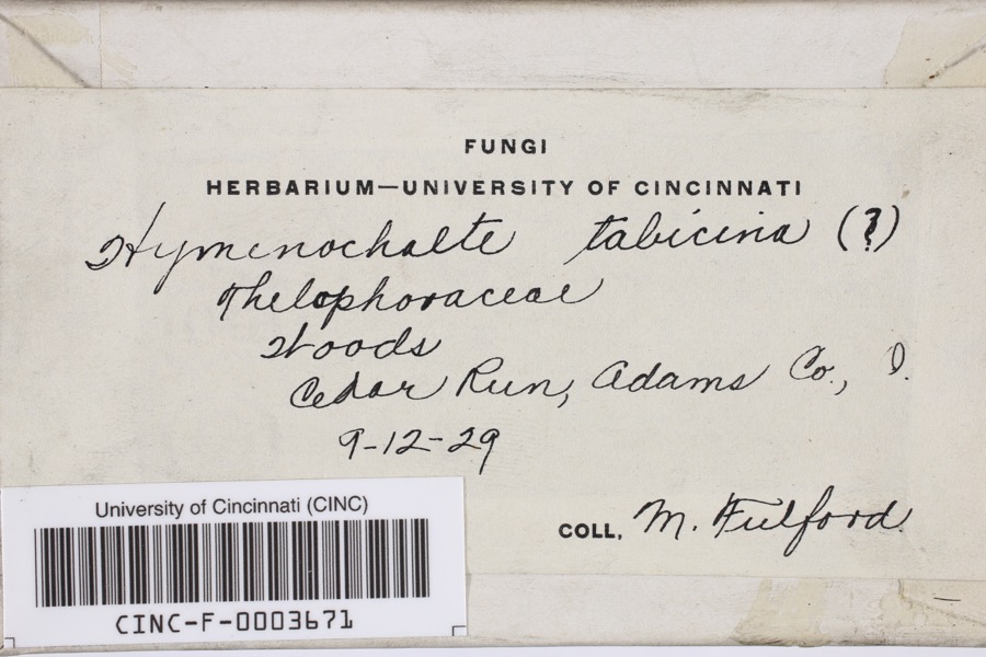 | Hymenochaete tabacina (Sowerby) Lév. | 1929 | Fulford, Margaret H. | Cedar Run |
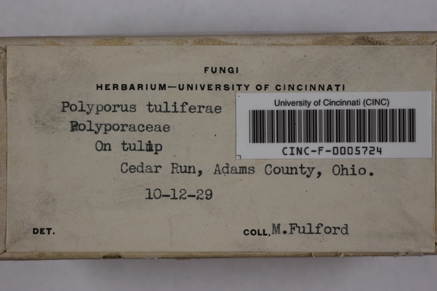 | Irpex lacteus (Fr.) Fr. | 1929 | Fulford, Margaret H. | Cedar Run |
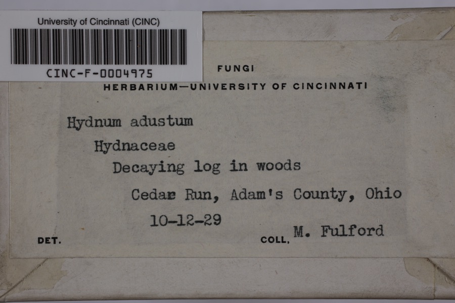 | Mycorrhaphium adustum (Schwein.) Maas Geest. | 1929 | Fulford, Margaret H. | Cedar Run |
 | Turdus migratorius Linnaeus, 1766 | 1920 | Walker, C. F. (Charles F.) | Serpent Mound, Adams, Ohio, USA |
 | Desmognathus fuscus (Rafinesque, 1820) | 1923 | Hine, J. S. (James Stewart) | Lynx, Adams Co., Ohio |
 | Acroneuria frisoni Stark & Brown, 1991 | 1925 | Clarence H. Kennedy | |
 | Perlesta lagoi Stark, 1989 | 1925 | Clarence H. Kennedy | |
| Crotalus horridus horridus | 1926 | Watters, G. T. (George Thomas) | Green Twp.: Long Lick Run, Adams Co., Ohio | |
 | Agkistrodon contortrix mokasen Palisot de Beauvois, 1799 | 1927 | Watters, G. (George) | Green Twp., Adams Co., Ohio, USA |
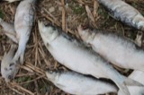 | Alosa chrysochloris (Rafinesque, 1820) | 1927 | Trautman, M. B. (Milton Bernard) | Ohio Brush Creek, within Adams Co, Adams County, township n/a |
 | Asplenium cryptolepis Fernald | 1927 | Braun, E. Lucy | Buzzard's Roost Rock |
| Eumeces fasciatus (Linnaeus, 1758) | 1927 | Hine, J. S. (James Stewart) | near Buena Vista, Adams Co., Ohio |
All 519 specimens within 10 miles, at the Global Biodiversity Information Facility.
Mines and quarries near this place
1 within 5 milesRegional context, not property-specific evidence. The federal mineral resources record lists 1 working within 5 miles of Wrightsville: 1 prospect. None of them still produces. What was taken out: Clay. Distance is straight-line from the map coordinates, so a quarry counted here may appear on a neighbouring settlement's page as well.
| Where | Site | Commodity | Status | Recorded |
|---|---|---|---|---|
| Fairview Roadcut Clay Bed | Clay | Prospect |
Storms near this place
3 since 1996Regional context, not property-specific evidence. The National Weather Service names Wrightsville in 3 storm reports between 1996 and 2022: 1 thunderstorm wind, 1 hail, 1 flood. No death or injury is recorded in these reports. Each account below is quoted exactly as the forecast office filed it, from the NOAA Storm Events Database, and each date opens the federal record of that event.
| When | Event | Place named | Harm | What the report says |
|---|---|---|---|---|
| April 1996 | Thunderstorm Wind | Wrightsville | $100,000 | no account filed |
| June 2008 | Hail | Wrightsville | $15,000 | no account filed |
| June 2022 | Flood | Wrightsville | - | The westbound lane of U.S. 52 was submerged in high water. |
Nearest settlements
The eight closest, with where each one stands in the county. Distances are straight-line, computed from the Geographic Names Information System coordinates.
| Map | Place | Distance | Sheets |
|---|---|---|---|
| Beasley Fork | 3.2 miles | 14 | |
| Catbird | 3.3 miles | 14 | |
| Grimes (historical) | 3.4 miles | 15 | |
| Gemmer | 3.6 miles | 15 | |
| Waggoner Ripple (historical) | 3.8 miles | 15 | |
| Manchester | 5.3 miles | 14 | |
| Tulip | 5.6 miles | 15 | |
| Bentonville | 6.3 miles | 14 |
Elsewhere
Matched on this settlement's Geographic Names Information System number rather than its name, so it cannot be a different place of the same name in another state.
| Wikipedia article on Wrightsville | An encyclopaedic summary. Its text is share-alike, so it is linked here rather than copied. |
| Wikidata item Q23698550 | The structured record the population and elevation above come from. Public domain (CC0). |
Provenance
This settlement is recorded in the Geographic Names Information System as feature 1061804. The sheet list is computed by point-in-boundary test against the United States Geological Survey's historical topographic inventory. Both are works of the United States government and carry no copyright under 17 U.S.C. 105.
Wildfire. Short, Karen C. 2022. Spatial wildfire occurrence data for the United States, 1992-2020 [FPA_FOD_20221014]. 6th Edition. Fort Collins, CO: Forest Service Research Data Archive. https://doi.org/10.2737/RDS-2013-0009.6 Collected with United States Government funding and usable without additional permissions or fees.
Specimens. Global Biodiversity Information Facility (GBIF), https://www.gbif.org/. Only records licensed CC0 or CC BY are used. Records licensed CC BY-NC are excluded because this site carries advertising. Images are checked individually and any whose licence is non-commercial, no-derivatives or unreadable is refused.
Mines and quarries. USGS Mineral Resources Data System (MRDS) https://mrdata.usgs.gov/mrds/ A work of the United States government, no copyright under 17 U.S.C. 105.
Storms. NOAA National Centers for Environmental Information, Storm Events Database https://www.ncei.noaa.gov/stormevents/ A work of the United States government, no copyright under 17 U.S.C. 105. Narratives are quoted verbatim from the National Weather Service report and are not edited or summarised.