 Block
Block
Manchester, Ohio
14 topographic sheets cover this place, the earliest surveyed in 1929 and the latest in 1991. It stands in Manchester Township. It lies in ZIP code area 45144. It lies in Williamson Hollow. The Survey maps it on the Manchester Islands quadrangle. 1,839 people lived here at the 2020 count. It stands 505 feet above sea level.
Population over time
2 figuresManchester fell from 2,023 to 1,839 between 2010 and 2020. These are the recorded population figures Wikidata holds for this place, reached through the Geographic Names Information System number this page is keyed on rather than by name, so they belong to this place and not to another of the same name. Most are census counts, but not all are: an early figure may be a founding or settlement estimate. The change column is computed, and is left blank where more than 20 years separate a figure from the one before it, because a gap that long is not a change between two counts.
| Year | People | Change |
|---|---|---|
| 2010 | 2,023 | |
| 2020 | 1,839 | -184 (-9%) |
Then and now
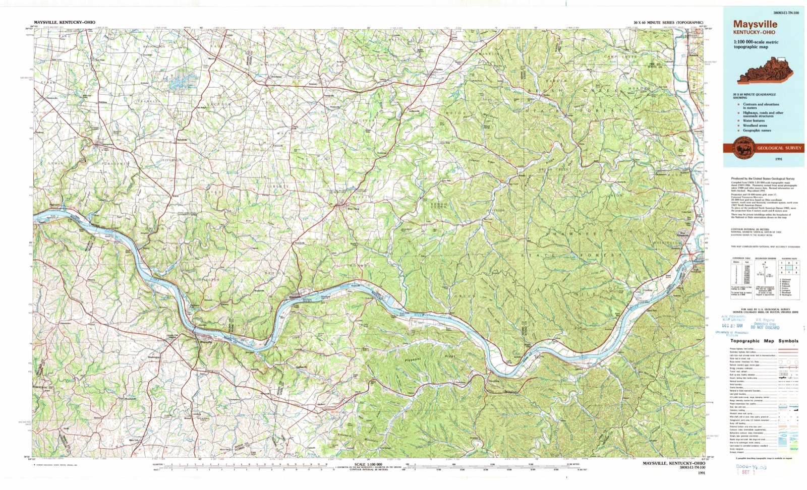
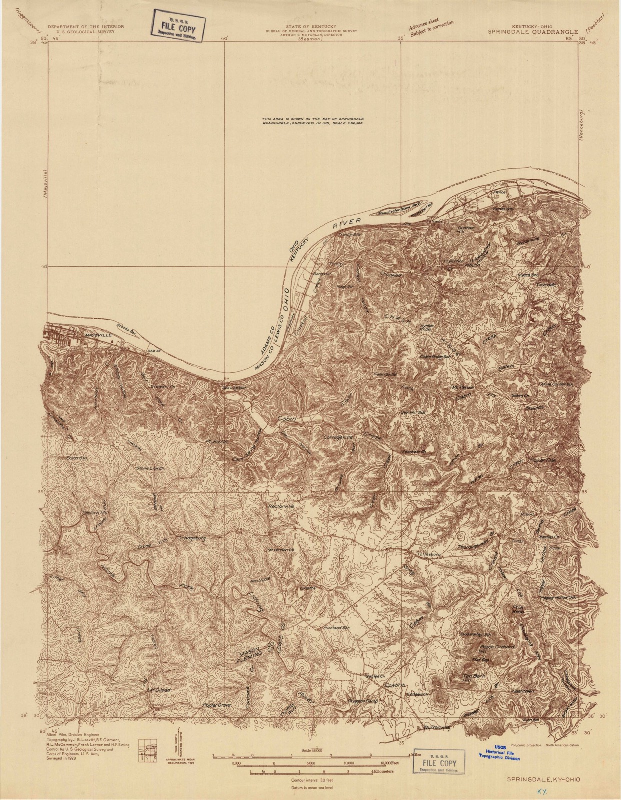
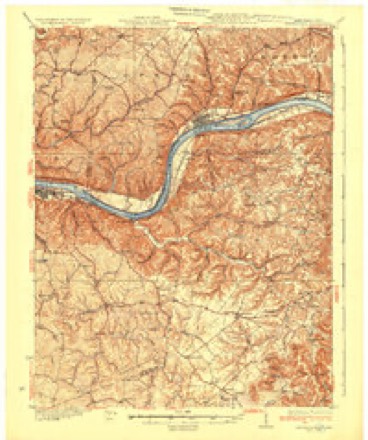
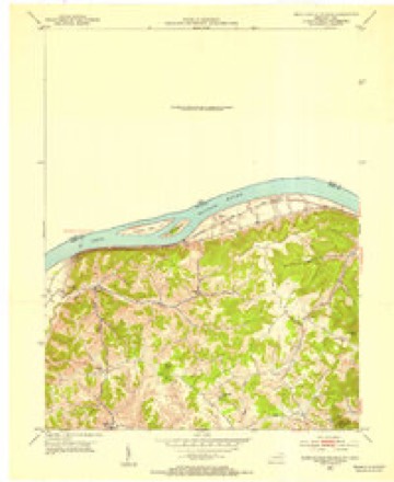
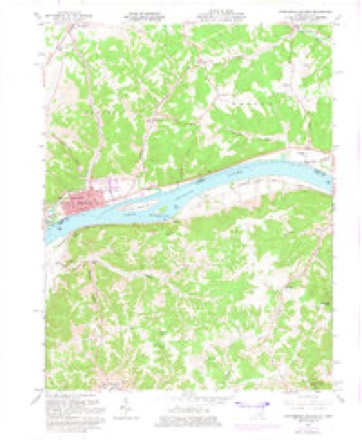
1929 to 1991The same ground, surveyed 62 years apart. Drag the handle to wipe between them. Both sheets are United States Geological Survey originals; neither has been altered.
Topographic sheets covering this place
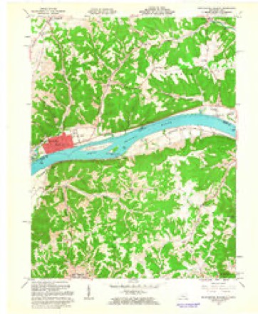
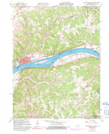
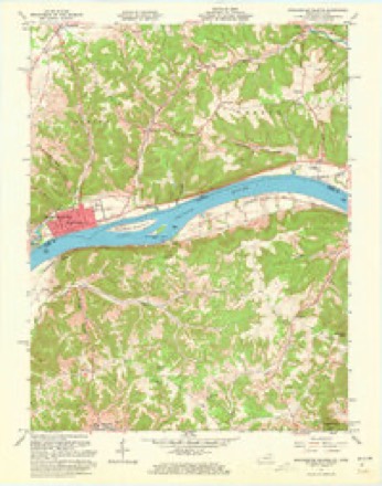
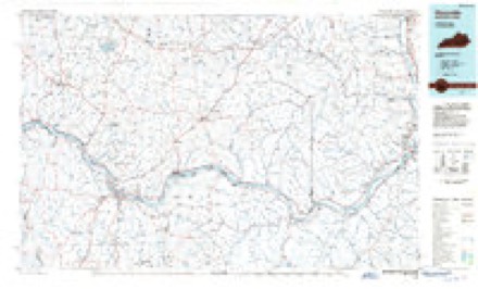
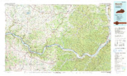
14 sheetsMatched by testing this settlement's coordinate against the published boundary of every sheet in the United States Geological Survey's historical collection. Each opens the scanned sheet at the Survey.
- 1929 USGS Springdale quadrangle1:48000
- 1929 USGS Springdale quadrangle1:62500
- 1935 USGS Springdale quadrangle1:62500
- 1952 USGS Manchester Islands quadrangle1:24000
- 1957 USGS Huntington quadrangle1:250000
- 1957 USGS Huntington quadrangle1:250000
- 1957 USGS Huntington quadrangle1:250000
- 1960 USGS Huntington quadrangle1:250000
- 1961 USGS Manchester Islands quadrangle1:24000
- 1961 USGS Manchester Islands quadrangle1:24000
- 1961 USGS Manchester Islands quadrangle1:24000
- 1961 USGS Manchester Islands quadrangle1:24000
- 1986 USGS Maysville quadrangle1:100000
- 1991 USGS Maysville quadrangle1:100000
What happened here
An account from the chapter on Manchester township, The inset identifies its exact source book and publication year.
Early Houses
The first settlers, as before stated, located within the stockade, and their houses were only a few rude cabins. Fear of the Indians prevented them improving the lands adjoining on the outside of the fort. The late Andrew Ellison, who was captured in 1793, while working on his out-lot adjoining the stockade, attests the danger.
In the county-history sources
19,064 words on this townshipCaldwell's Illustrated Historical Atlas of Adams County, Ohio. 1797-1880, published 1880 names this settlement in its chapter on Manchester Township. These are the passages that mention it, exactly as the scans read.
AVf.st M.v n Chester, - Which is more properly, only an addition to the original town, was laid out by John Donaldson, Stephen W. Compton and G. W. Donaldson,, as proprietors, September 16, 1899. It contains 48 lots, extending west from Pike street, fronting on the rivet and extending back to Main street.
Passage source: Caldwell's Illustrated Historical Atlas of Adams County, Ohio. 1797-1880, published 1880.
Another addition, called the first addition to West Manchester. was made by John Donaldson, May 9, 1849. It contains 23 lots lies west of Pike and north of Main street - opposite, and north of the eastern portion of West Manchester.
Passage source: Caldwell's Illustrated Historical Atlas of Adams County, Ohio. 1797-1880, published 1880.
The first settlers, as before stated, located within the stockade, and their houses were only a few rude cabins. Fear of the Indians prevented them improving the lands adjoining on the outside of the fort. The late Andrew Ellison, who was captured in 1793, while working on his out-lot adjoining the stockade, attests the danger. They therefore cleared off the lower of the three Islands, which from its isolated position - rendered it a place of greater security. Even with its advantages of situation, guards were kept to watch the approach of any enemy that might attempt to cross over to the Island. Fortunately the unsurpass- I fi utility of the soil produced sufficient abundance to supply the i' garrison with all the necessaries of life. But few additions made to the population or business of Manchester, or settlcnrido in the country, back from the river, until the ernshh'lent of the Indians by Gen. Wayne, in 1794. After the <»f Greenville, which relieved the settlements from nppreii >io n of further trouble from them, settlements began to be made in the interior portions of the county. Manchester did not improve very rapidly for some years.
Passage source: Caldwell's Illustrated Historical Atlas of Adams County, Ohio. 1797-1880, published 1880.
Machine-read from a century-old scan, so expect the errors a machine makes: misspelled names, dropped words, stray characters.
Read the whole chapter on Manchester Township - it names this place 53 more 53 times.
Photographs
2 photographs,Taken for the Office of War Information and the Farm Security Administration, who photographed the country between 1935 and 1944. Works of United States government photographers, with no known restriction on use. Each opens its catalogue record.
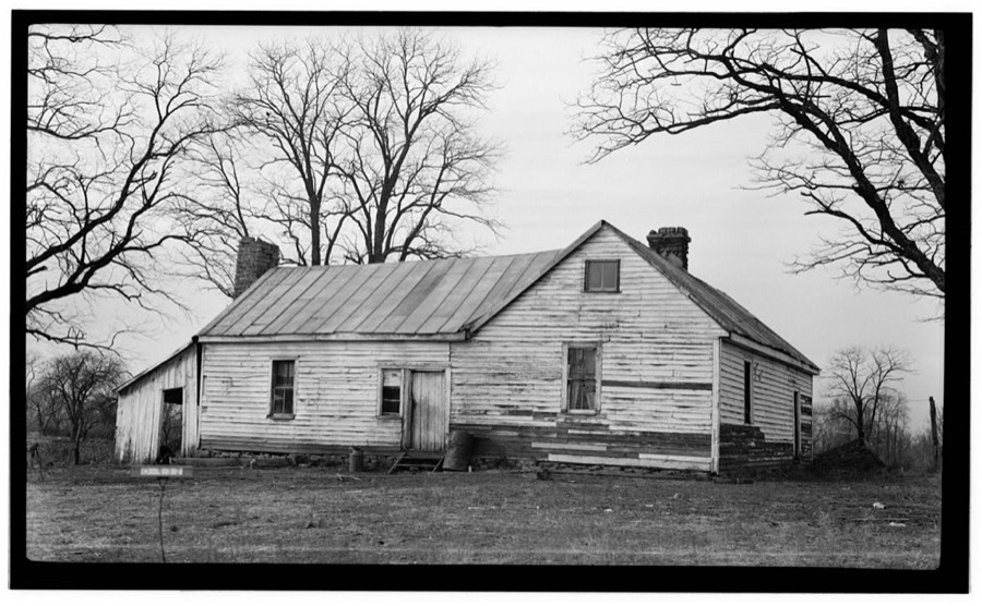
Unattributed, . Library of Congress
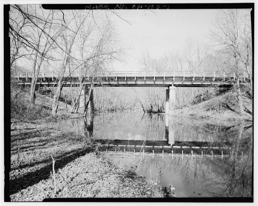
Unattributed, . Library of Congress
Fires near this place
33 since 1997Regional context, not property-specific evidence. The federal wildfire occurrence database lists 33 fires within 5 miles of Manchester between 1997 and 2020, burning about 348 acres in total. None started naturally. 13 were recorded as arson. Distance is straight-line from the map coordinates, so a fire counted here may appear on a neighbouring settlement's page as well.
| Reported cause | Fires |
|---|---|
| Arson/incendiarism | 13 |
| Debris and open burning | 11 |
| Missing data/not specified/undetermined | 8 |
| Smoking | 1 |
The most recent of them, most recent first, with the day each was reported and the service that recorded it.
| Date | Cause | Size | Reported by | Name on the report |
|---|---|---|---|---|
| 10 September 2019 | Debris and open burning | under an acre | Ohio Department of Natural Resources | 15287 |
| 30 July 2020 | Missing data/not specified/undetermined | under an acre | Kentucky Division of Forestry | CROOKED CREEK |
| 7 May 2008 | Arson/incendiarism | under an acre | Ohio Department of Natural Resources | not named |
| 1 May 2018 | Missing data/not specified/undetermined | 2.0 acres | Ohio Department of Natural Resources | 10230 |
| 1 May 2018 | Missing data/not specified/undetermined | 5.0 acres | Ohio Department of Natural Resources | 10105 |
| 30 April 1997 | Arson/incendiarism | 20 acres | Kentucky Division of Forestry | not named |
| 3 April 2004 | Smoking | 1.0 acres | Ohio Department of Natural Resources | not named |
| 25 April 2014 | Missing data/not specified/undetermined | 30 acres | Ohio Department of Natural Resources | not named |
Settlements close enough to share some of these fires:
Specimens collected near this place
12 of 78 shownRegional context, not property-specific evidence. Museums hold 78 specimens collected within 10 miles of Manchester between 1927 and 1975: 58 Animalia, 18 Plantae, 2 Fungi. 12 distinct Species records are shown. Collected by A JOHN, A. Cronquist, ANSEL JOHN and others. Each is a physical object with a catalogue number, and each entry opens the museum's record. This is what was collected and kept, not a survey of what lives here - nothing can be concluded from a species being absent.
| Image | Species | Year | Collected by | Where, as recorded |
|---|---|---|---|---|
 | Alosa chrysochloris (Rafinesque, 1820) | 1927 | Trautman, M. B. (Milton Bernard) | Ohio Brush Creek, within Adams Co, Adams County, township n/a |
 | Ambystoma maculatum (Shaw, 1802) | 1929 | Walker, C. F. (Charles F.) & Hine, J. S. (James Stewart) | Wooded swamp, Monroe Twp, Adams Co., Ohio |
 | Campylium chrysophyllum (Brid.) Lange | 1929 | s.c. | below Buzzard's Roost |
 | Drummondia prorepens (Hedw.) E.Britton | 1929 | s.c. | Buzzard's Roost |
 | Plethodon glutinosus (Green, 1818) | 1929 | Hine, J. S. (James Stewart) & Walker, C. F. (Charles F.) | 1 mi. NE Wrightsville, Monroe Twp., Adams Co., Ohio |
| Pylaisiella intricata (Hedw.) Grout | 1929 | Fulford, Margaret Hannah | below Buzzard's Roost Rock | |
| Pylaisiella selwynii (Kindb.) H.A.Crum, Steere & L.E.Anderson | 1929 | Fulford, Margaret Hannah | below Buzzard's Roost | |
| Weissia controversa Hedw. | 1929 | Fulford, Margaret Hannah | near Buzzard's Roost | |
 | Plethodon cinereus (Green, 1818) | 1930 | Dury, R. (Ralph) | Liberty Twp., Adams Co., Ohio |
| Notropis blennius (Girard, 1856) | 1938 | Rhoades, R. (Randall) | Ohio River, Manchester Island, ~1.8 mi E of Manchester, Tollesboro CCD | |
| Schilbeodes miurus (Jordan, 1877) | 1938 | Rhoades, R. (Randall) | Ohio Brush Creek, within Adams Co, Adams County, township n/a | |
| Orconectes juvenilis (Hagen, 1870) | 1939 | R. Rhoades | Ohio River, 3 mi. below Aberdeen, Huntingon Township |
All 78 specimens within 10 miles, at the Global Biodiversity Information Facility.
Mines and quarries near this place
1 within 5 milesRegional context, not property-specific evidence. The federal mineral resources record lists 1 working within 5 miles of Manchester: 1 producer. All of them still produce. What was taken out: Calcium. Distance is straight-line from the map coordinates, so a quarry counted here may appear on a neighbouring settlement's page as well.
| Where | Site | Commodity | Status | Recorded |
|---|---|---|---|---|
| Maysville Kiln | Calcium | Producer |
Storms near this place
32 since 1994Regional context, not property-specific evidence. The National Weather Service names Manchester in 32 storm reports between 1994 and 2024: 24 thunderstorm wind, 4 hail, 3 flash flood, 1 flood. The reports record 2 deaths. Each account below is quoted exactly as the forecast office filed it, from the NOAA Storm Events Database, and each date opens the federal record of that event.
| When | Event | Place named | Harm | What the report says |
|---|---|---|---|---|
| April 1994 | Thunderstorm Wind | Manchester | 1 killed, $500,000 | A mobile home was destroyed by high winds, probably from a microburst. The 63-year-old male owner was killed outdoors at the site when he was struck by debris from the roof during the event. He died of head injuries. Trees were downed and large hail also fell. |
| May 2024 | Flash Flood | Manchester | 1 killed, $20,000 | Island creek quickly rose out of its banks. A vehicle was swept into the water on Island Creek Road, resulting in one fatality. M17IW. |
| March 2012 | Thunderstorm Wind | Manchester | $25,000 | A roof was torn off a house due to damaging thunderstorm winds. |
| July 2008 | Thunderstorm Wind | Manchester | $20,000 | A 30 foot travel trailer was severely damaged by the thunderstorm winds. Trees were downed throughout the southern part of the county. |
| June 2022 | Thunderstorm Wind | Manchester | $15,000 | Several trees were downed. Metal blown off of a building also damaged a car. |
| June 2008 | Thunderstorm Wind | Manchester | $10,000 | Several trees were downed across town, including one that fell on a house and caused minor damage. |
| June 1997 | Flash Flood | Manchester | $10,000 | An isolated thunderstorm dropped an estimated 4 inches of rain in 2 hours causing water to flood across roads and a culvert to be washed out. |
| June 2022 | Thunderstorm Wind | Manchester | $5,000 | A tree fell onto a house on Washington Avenue. |
| July 2015 | Thunderstorm Wind | Manchester | $5,000 | Numerous trees and power lines were downed in the Manchester area. |
| June 2005 | Thunderstorm Wind | Manchester | $5,000 | Several trees were downed. |
| July 2000 | Thunderstorm Wind | Manchester | $5,000 | Trees knocked down. |
| June 1996 | Thunderstorm Wind | Manchester | $5,000 | no account filed |
| August 2024 | Thunderstorm Wind | Manchester | $4,000 | A few power poles were downed. |
| May 1996 | Thunderstorm Wind | Manchester | $4,000 | no account filed |
| May 2018 | Thunderstorm Wind | Manchester | $3,000 | Several trees were downed. |
| May 2011 | Thunderstorm Wind | Manchester | $3,000 | Numerous trees were reported down due to damaging thunderstorm winds. |
| August 2003 | Thunderstorm Wind | Manchester | $3,000 | Trees and powerlines were downed. |
| July 2001 | Thunderstorm Wind | Manchester | $3,000 | Trees knocked down. |
| July 2000 | Thunderstorm Wind | Manchester | $3,000 | Several trees knocked down. |
| August 1996 | Thunderstorm Wind | Manchester | $3,000 | no account filed |
| July 2016 | Thunderstorm Wind | Manchester | $2,000 | A tree was snapped on East 8th Street and a utility pole was broken on Diamond Avenue. |
| July 2012 | Thunderstorm Wind | Manchester | $2,000 | Trees were reported down in the area due to damaging thunderstorm winds. |
| July 2021 | Thunderstorm Wind | Manchester | $1,000 | A tree was downed onto Roush Hill Road. |
| May 2015 | Thunderstorm Wind | Manchester | $1,000 | One tree was downed on US 52. |
| October 2013 | Thunderstorm Wind | Manchester | $1,000 | Large tree limbs were downed near Manchester due to thunderstorm winds. |
| July 2012 | Thunderstorm Wind | Manchester | $1,000 | One tree was downed due to damaging thunderstorm winds. |
| May 2022 | Flood | Manchester | - | High water was reported on U.S. Route 52 in Manchester. |
| May 2003 | Flash Flood | Manchester | - | A few roads were underwater. |
| May 1995 | Hail | Manchester | - | Trees were downed, one on an automobile. Warren County Springboro,14,0033EST,,,0,0,0,0,Hail (0.75) |
| April 2018 | Hail | Manchester | - | no account filed |
| May 2003 | Hail | Manchester | - | no account filed |
| June 2000 | Hail | Manchester | - | no account filed |
Nearest settlements
The eight closest, with where each one stands in the county. Distances are straight-line, computed from the Geographic Names Information System coordinates.
| Map | Place | Distance | Sheets |
|---|---|---|---|
| Paradise Hills | 2.4 miles | 15 | |
| Bradysville | 3.3 miles | 15 | |
| Evertonville | 4.2 miles | 15 | |
| Bentonville | 4.2 miles | 14 | |
| Catbird | 4.5 miles | 14 | |
| Clayton | 5.2 miles | 15 | |
| Wrightsville | 5.3 miles | 14 | |
| Beasley Fork | 6.5 miles | 14 |
Elsewhere
Matched on this settlement's Geographic Names Information System number rather than its name, so it cannot be a different place of the same name in another state.
| Wikipedia article on Manchester | An encyclopaedic summary. Its text is share-alike, so it is linked here rather than copied. |
| Wikidata item Q2668469 | The structured record the population and elevation above come from. Public domain (CC0). |
Provenance
This settlement is recorded in the Geographic Names Information System as feature 1061465. The sheet list is computed by point-in-boundary test against the United States Geological Survey's historical topographic inventory. Both are works of the United States government and carry no copyright under 17 U.S.C. 105.
Wildfire. Short, Karen C. 2022. Spatial wildfire occurrence data for the United States, 1992-2020 [FPA_FOD_20221014]. 6th Edition. Fort Collins, CO: Forest Service Research Data Archive. https://doi.org/10.2737/RDS-2013-0009.6 Collected with United States Government funding and usable without additional permissions or fees.
Specimens. Global Biodiversity Information Facility (GBIF), https://www.gbif.org/. Only records licensed CC0 or CC BY are used. Records licensed CC BY-NC are excluded because this site carries advertising. Images are checked individually and any whose licence is non-commercial, no-derivatives or unreadable is refused.
Mines and quarries. USGS Mineral Resources Data System (MRDS) https://mrdata.usgs.gov/mrds/ A work of the United States government, no copyright under 17 U.S.C. 105.
Storms. NOAA National Centers for Environmental Information, Storm Events Database https://www.ncei.noaa.gov/stormevents/ A work of the United States government, no copyright under 17 U.S.C. 105. Narratives are quoted verbatim from the National Weather Service report and are not edited or summarised.