 Block
Block
Bentonville, Ohio
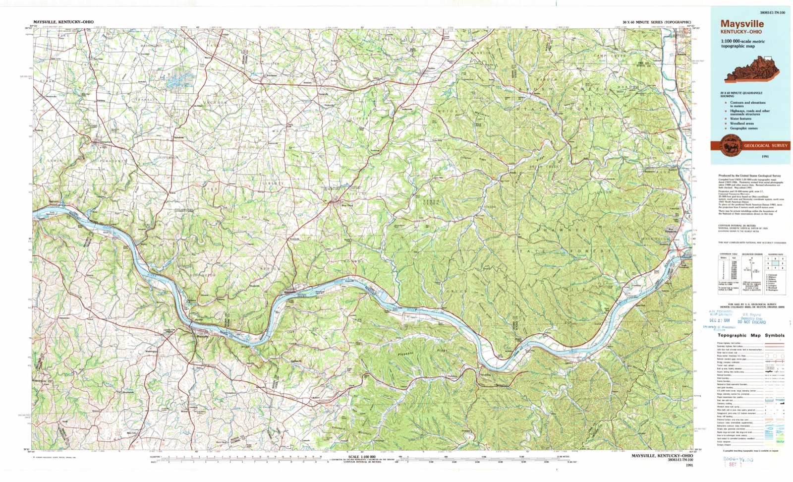
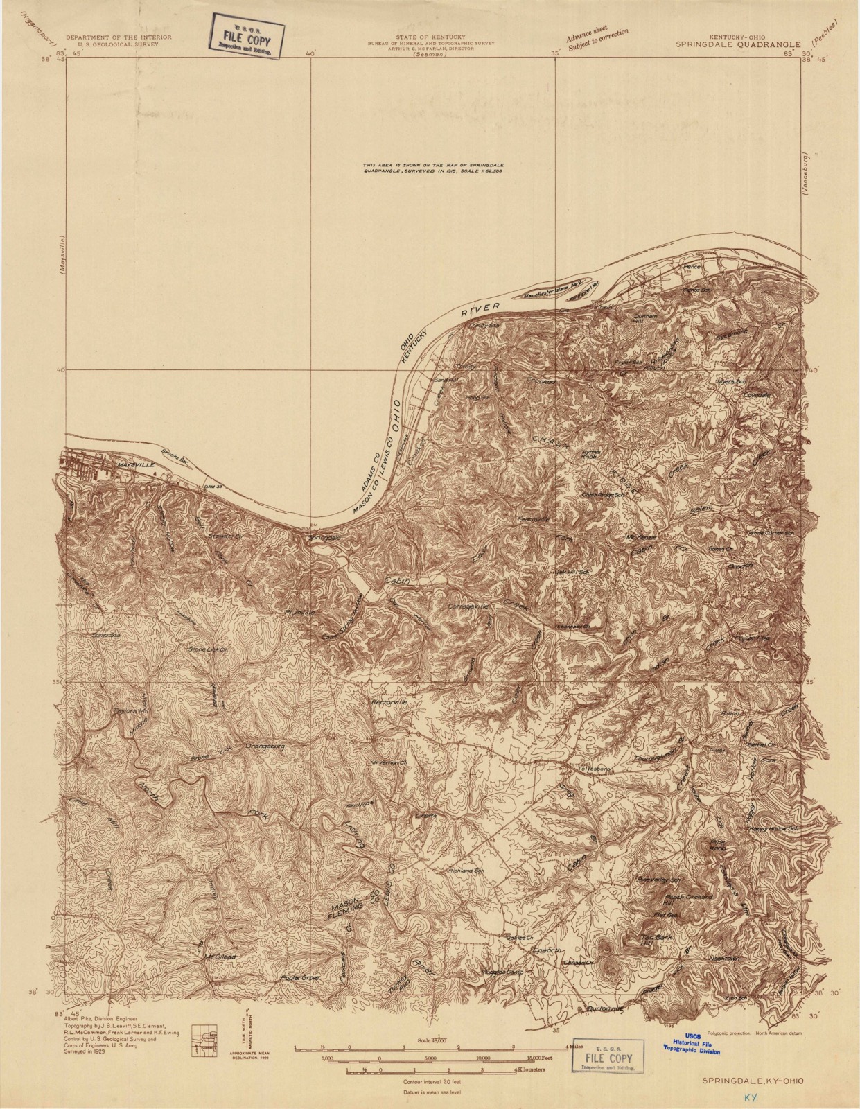
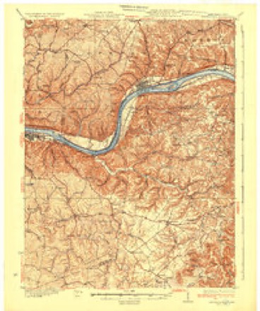
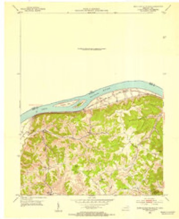
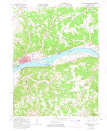
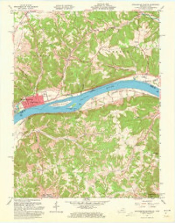
14 topographic sheets cover this place, the earliest surveyed in 1929 and the latest in 1991. It stands in Sprigg Township. It lies in ZIP code area 45693. The Survey maps it on the Manchester Islands quadrangle.
Then and now
1929 to 1991The same ground, surveyed 62 years apart. Drag the handle to wipe between them. Both sheets are United States Geological Survey originals; neither has been altered.
Topographic sheets covering this place
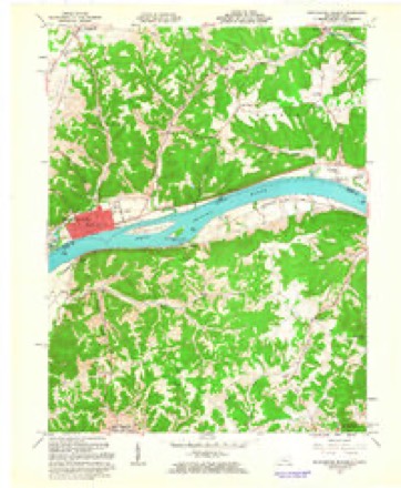
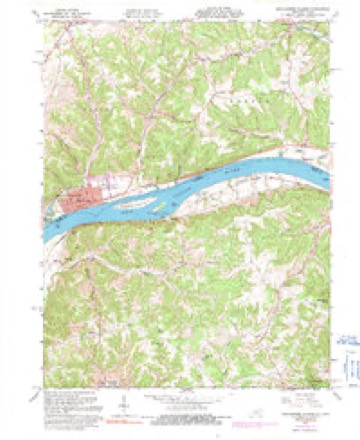
14 sheetsMatched by testing this settlement's coordinate against the published boundary of every sheet in the United States Geological Survey's historical collection. Each opens the scanned sheet at the Survey.
- 1929 USGS Springdale quadrangle1:48000
- 1929 USGS Springdale quadrangle1:62500
- 1935 USGS Springdale quadrangle1:62500
- 1952 USGS Manchester Islands quadrangle1:24000
- 1957 USGS Huntington quadrangle1:250000
- 1957 USGS Huntington quadrangle1:250000
- 1957 USGS Huntington quadrangle1:250000
- 1960 USGS Huntington quadrangle1:250000
- 1961 USGS Manchester Islands quadrangle1:24000
- 1961 USGS Manchester Islands quadrangle1:24000
- 1961 USGS Manchester Islands quadrangle1:24000
- 1961 USGS Manchester Islands quadrangle1:24000
- 1986 USGS Maysville quadrangle1:100000
- 1991 USGS Maysville quadrangle1:100000
What happened here
An account from the chapter on Sprigg township, The inset identifies its exact source book and publication year.
Ellis Palmer
Was a Pennsylvanian, and had a brother most cruelly tortured and murdered by the Indians there. He vowed vengeance against all Indians, whether friends or enemies. It is probable that he has been the means of sending many a red man to the happy hunting ground. It is related that on one occasion an Indian in passing through the neighborhood stayed overnight with Will G Ibert, just over the Brown county line.
In the county-history sources
18,686 words on this townshipCaldwell's Illustrated Historical Atlas of Adams County, Ohio. 1797-1880, published 1880 names this settlement in its chapter on Sprigg Township. These are the passages that mention it, exactly as the scans read.
It is difficult 1o ascertain with certainty, when the first setlers came. It is probable that the first to settle in the township were three brothers, named George, Joseph and Isaac Edging toil and William Leedom, a son-in-law of George Edgington. These parties located near where Bentonville now stalids, not far from 1795. Not tar from the same time, but perhaps the next year - 1796, a settlement was made on what is known as " Dutch Run, " by a company of Germans who came in a colony and settled some three miles southwest of the present villago of Beutonvillc, on the run that now bears the above name. The names of these colonists were John Bryan, Peter Pence, John Pence and two lads named William and Georgn Pence, Michael Roush, Phil- - Roush and and George Cook.
Passage source: Caldwell's Illustrated Historical Atlas of Adams County, Ohio. 1797-1880, published 1880.
Among the oilier early settlers, were John McColm, in the southeast part of the township. Van S. Brady, Joseph Beam and Peter Conner, who came about 1804, and settled near Brndysville. Robert Simpson, who settled on the farm now owned by his grandsons, Will and John Simpson, on the Manchester pike. Samuel Swearingen came about the same time and settled adjoining Simpson.
Passage source: Caldwell's Illustrated Historical Atlas of Adams County, Ohio. 1797-1880, published 1880.
It is (liffi'-ult to obtain any definite account of the first schools in this lowuship - one of the first, perhaps the first, was known as (he Buckeye School House, about two miles southeast of Bentonvilh . It stood on the line dividing the farms now owned by Harrison Pence and .Joseph Lytle. It was also used as a place for religious meetings. An Irishman named Conn, was the first teacher.
Passage source: Caldwell's Illustrated Historical Atlas of Adams County, Ohio. 1797-1880, published 1880.
Machine-read from a century-old scan, so expect the errors a machine makes: misspelled names, dropped words, stray characters.
Read the whole chapter on Sprigg Township - it names this place 14 more 14 times.
Fires near this place
32 since 2003Regional context, not property-specific evidence. The federal wildfire occurrence database lists 32 fires within 5 miles of Bentonville between 2003 and 2020, burning about 207 acres in total. None started naturally. 7 were recorded as arson. Distance is straight-line from the map coordinates, so a fire counted here may appear on a neighbouring settlement's page as well.
| Reported cause | Fires |
|---|---|
| Debris and open burning | 12 |
| Missing data/not specified/undetermined | 10 |
| Arson/incendiarism | 7 |
| Smoking | 1 |
| Misuse of fire by a minor | 1 |
| Power generation/transmission/distribution | 1 |
The most recent of them, most recent first, with the day each was reported and the service that recorded it.
| Date | Cause | Size | Reported by | Name on the report |
|---|---|---|---|---|
| 10 September 2019 | Debris and open burning | under an acre | Ohio Department of Natural Resources | 15287 |
| 7 May 2008 | Arson/incendiarism | under an acre | Ohio Department of Natural Resources | not named |
| 1 May 2018 | Missing data/not specified/undetermined | 5.0 acres | Ohio Department of Natural Resources | 10105 |
| 1 May 2008 | Missing data/not specified/undetermined | 1.0 acres | Ohio Department of Natural Resources | not named |
| 9 April 2004 | Arson/incendiarism | 3.0 acres | Ohio Department of Natural Resources | not named |
| 8 April 2004 | Debris and open burning | 1.0 acres | Ohio Department of Natural Resources | not named |
| 3 April 2004 | Smoking | 1.0 acres | Ohio Department of Natural Resources | not named |
| 25 April 2014 | Missing data/not specified/undetermined | 30 acres | Ohio Department of Natural Resources | not named |
Settlements close enough to share some of these fires:
Specimens collected near this place
12 of 346 shownRegional context, not property-specific evidence. Museums hold 346 specimens collected within 10 miles of Bentonville between 1900 and 1975: 299 Animalia, 29 Plantae, 18 Fungi. 12 distinct Species records are shown. Collected by A JOHN, A. Cronquist, ANSEL JOHN and others. Each is a physical object with a catalogue number, and each entry opens the museum's record. This is what was collected and kept, not a survey of what lives here - nothing can be concluded from a species being absent.
| Image | Species | Year | Collected by | Where, as recorded |
|---|---|---|---|---|
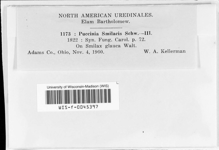 | Puccinia smilacis Schwein. | 1900 | W.A. Kellerman | |
 | Turdus migratorius Linnaeus, 1766 | 1920 | Walker, C. F. (Charles F.) | Serpent Mound, Adams, Ohio, USA |
 | Acroneuria frisoni Stark & Brown, 1991 | 1925 | Clarence H. Kennedy | |
 | Perlesta lagoi Stark, 1989 | 1925 | Clarence H. Kennedy | |
 | Perlesta teaysia Kirchner & Kondratieff, 1997 | 1925 | Clarence H. Kennedy | |
| Crotalus horridus horridus | 1926 | Watters, G. T. (George Thomas) | Green Twp.: Long Lick Run, Adams Co., Ohio | |
 | Asplenium cryptolepis Fernald | 1927 | Braun, E. Lucy | Buzzard's Roost Rock |
| Eumeces fasciatus (Linnaeus, 1758) | 1927 | Hine, J. S. (James Stewart) | near Buena Vista, Adams Co., Ohio | |
| Lampropeltis getula nigra (Yarrow, 1882) | 1927 | Watters, G. T. (George Thomas) | Green Twp.: west of Buena Vista, Adams Co., Ohio | |
| Noturus miurus Jordan, 1877 | 1928 | Trautman, M. B. (Milton Bernard) | Ohio Brush Creek, within Brush Creek township, near Lynx, Brush Creek township | |
| Opheodrys aestivus Linnaeus, 1766 | 1928 | Watters, G. T. (George Thomas) | Green Twp.: 2 mi. west of Buena Vista, Adams Co., Ohio | |
| Scalopus aquaticus machrinus (Rafinesque, 1832) | 1928 | Grooms, E. | West Union, Adams Co., Ohio, USA |
All 346 specimens within 10 miles, at the Global Biodiversity Information Facility.
Mines and quarries near this place
1 within 5 milesRegional context, not property-specific evidence. The federal mineral resources record lists 1 working within 5 miles of Bentonville: 1 producer. All of them still produce. What was taken out: Stone, Crushed/Broken. Distance is straight-line from the map coordinates, so a quarry counted here may appear on a neighbouring settlement's page as well.
| Where | Site | Commodity | Status | Recorded |
|---|---|---|---|---|
| Ohio Quarry | Stone, Crushed/Broken | Producer |
Storms near this place
15 since 1996Regional context, not property-specific evidence. The National Weather Service names Bentonville in 15 storm reports between 1996 and 2025: 6 flood, 4 flash flood, 2 hail, 2 thunderstorm wind. No death or injury is recorded in these reports. Each account below is quoted exactly as the forecast office filed it, from the NOAA Storm Events Database, and each date opens the federal record of that event.
| When | Event | Place named | Harm | What the report says |
|---|---|---|---|---|
| March 2012 | Tornado (EF0) | Bentonville | $30,000 | The tornado briefly touched down, causing extensive damage to a barn. Some of the wooden debris from this barn was driven into the ground. Numerous trees in a nearby grove were snapped. Based on the damage surveyed, the maximum estimated wind speed of this tornado was 75 miles per hour. |
| January 2023 | Flash Flood | Bentonville | $6,000 | A few vehicles were stranded in high water near the intersection of State Routes 41 and 136. |
| May 1996 | Flash Flood | Bentonville | $5,000 | no account filed |
| May 2018 | Thunderstorm Wind | Bentonville | $1,000 | A tree was downed. |
| July 2012 | Thunderstorm Wind | Bentonville | $1,000 | A tree was downed due to damaging thunderstorm winds. |
| February 2025 | Flash Flood | Bentonville | - | State Route 41 was closed at Kimberly Drive due to water flowing over the roadway. |
| April 2025 | Flood | Bentonville | - | High water was reported on a highway. |
| March 2022 | Flood | Bentonville | - | State Route 41 south of Bentonville was closed due to high water. |
| May 2020 | Flood | Bentonville | - | High water was reported in a few areas along State Route 41. |
| September 2018 | Flood | Bentonville | - | Several road were closed throughout Adams County due to high water. |
| March 2017 | Flood | Bentonville | - | Stare route 41 was closed due to high water. High water was also reported on several other roads in the area. |
| June 2016 | Flash Flood | Bentonville | - | State Route 41 from Bentonville to Aberdeen was still closed due to high water flowing over the roadway. |
| May 2013 | Flood | Bentonville | - | State Route 41 was closed near State Route 136 due to flooding caused by heavy rainfall. |
| April 2018 | Hail | Bentonville | - | no account filed |
| March 2011 | Hail | Bentonville | - | no account filed |
Nearest settlements
The eight closest, with where each one stands in the county. Distances are straight-line, computed from the Geographic Names Information System coordinates.
| Map | Place | Distance | Sheets |
|---|---|---|---|
| Catbird | 3.2 miles | 14 | |
| Clayton | 3.3 miles | 15 | |
| Paradise Hills | 3.5 miles | 15 | |
| Manchester | 4.2 miles | 14 | |
| Panhandle | 4.3 miles | 10 | |
| Fairview | 4.4 miles | 9 | |
| West Union | 4.8 miles | 10 | |
| Bradysville | 4.8 miles | 15 |
Provenance
This settlement is recorded in the Geographic Names Information System as feature 1056220. The sheet list is computed by point-in-boundary test against the United States Geological Survey's historical topographic inventory. Both are works of the United States government and carry no copyright under 17 U.S.C. 105.
Wildfire. Short, Karen C. 2022. Spatial wildfire occurrence data for the United States, 1992-2020 [FPA_FOD_20221014]. 6th Edition. Fort Collins, CO: Forest Service Research Data Archive. https://doi.org/10.2737/RDS-2013-0009.6 Collected with United States Government funding and usable without additional permissions or fees.
Specimens. Global Biodiversity Information Facility (GBIF), https://www.gbif.org/. Only records licensed CC0 or CC BY are used. Records licensed CC BY-NC are excluded because this site carries advertising. Images are checked individually and any whose licence is non-commercial, no-derivatives or unreadable is refused.
Mines and quarries. USGS Mineral Resources Data System (MRDS) https://mrdata.usgs.gov/mrds/ A work of the United States government, no copyright under 17 U.S.C. 105.
Storms. NOAA National Centers for Environmental Information, Storm Events Database https://www.ncei.noaa.gov/stormevents/ A work of the United States government, no copyright under 17 U.S.C. 105. Narratives are quoted verbatim from the National Weather Service report and are not edited or summarised.