Photographs from the nomination case file, National Park Service records.
Wood, Ahijah, House
Listed on the National Register of Historic Places in
1987. A historic map-sheet match is not published yet. The record needs a coordinate-quality review before it can be joined to a sheet boundary.
From the record
“In the prosecution of my work it has been a source of constant and profound regret that I have not been able to do what I believe to be full justice to zvoman, - to bring her into greater prominence, and assign her to her rightful place in the com- munity and town whose historic features this volume assumes to portray. But this has been found to be practically impossible.”
History of Westminster Massachusetts (first Named Narragansett No. 2) from the Date of the Original Grant of the Township to the Present Time, 1728-1893; with a Biographic-genealogical Register of Its Principal Families (1893). Machine-read text.
one of 500 National Register listings in Worcester County · listed in 1987 · category: Building · one of 1 National Historic Landmarks in Worcester County.
National Register reference number.87000374- the number the National Park Service assigned this property when it was listed, and the key its nomination file is catalogued under at the National Archives.
In the summer of 1883 it was my privilege to attend, for the first time, one of the annual gatherings at Wachusett Park, known in the general neighborhood as "The Old Folks' Picnic." As I conversed with different elderly people there, and listened to the formal addresses of the occasion, composed largely of reminiscences and tales of by-gone days, I was impressed with the desirability and importance of having a comprehensive History of Westminster published, not only to rescue from oblivion many interesting facts, incidents, and events, which otherwise would soon be irretrievably lost to human knowledge, but also for the purpose of collating, condensing, and having in readily accessibly form, whatever might be found in any public records relating to the town, of permanent value to the citizens, to the public at large, or to the student of past times. And in the same connection it occurred to me that, possibly, I might be prompted to undertake the task indicated myself at some future day, should circumstances permit; little realizing, however, what an amount of time, research, and wearisome labor would be required for its accomplishment.
In the prosecution of my work it has been a source of constant and profound regret that I have not been able to do what I believe to be full justice to zvoman, - to bring her into greater prominence, and assign her to her rightful place in the com- munity and town whose historic features this volume assumes to portray. But this has been found to be practically impossible. Society, in its present organic form, not only makes little account of woman, but, for the most part, excludes her from view. In all public concerns man is at the front: man alone, with rare exceptions, appears in all public records. And history, general and local, is written accordingly. Yet, woman is an essential part of every community, and constitutes a vital factor in every problem affecting the common welfare and happiness. In the home, which is the heart of modern civilization, in moral and religious concerns, in church work, in humane and charitable enterprises, in educational activities, she has proved herself to be a great power for good, contributing her equal share to the promotion of the higher interests, and to the development of the best life, of all classes and conditions of people. Such, in my judgment, has been the case in Westminster, and not to recognize and record the fact in some positive way in this History would render it radically defective, - would be to withold the tribute of respect and honor from great numbers of those to whom such tribute is due.
Regional context, not property-specific
evidence. The
federal wildfire occurrence database
lists 62 fires within 5 miles of Wood, Ahijah, House between
2015 and 2020, burning about 80 acres in total. None started naturally. 2 were recorded as arson.
Distance is straight-line from the map coordinates, so a fire counted
here may appear on a neighbouring settlement's page as well.
Reported cause
Fires
Debris and open burning
38
Missing data/not specified/undetermined
14
Equipment and vehicle use
2
Recreation and ceremony
2
Arson/incendiarism
2
Smoking
2
Power generation/transmission/distribution
1
Misuse of fire by a minor
1
The most recent of
them, most recent first, with the day each was reported and the service
that recorded it.
Regional context, not property-specific
evidence. Museums hold 632 specimens
collected within 10 miles of Wood, Ahijah, House between 1870 and
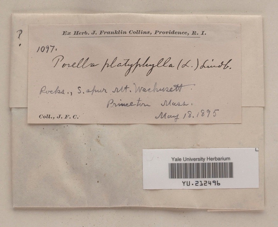
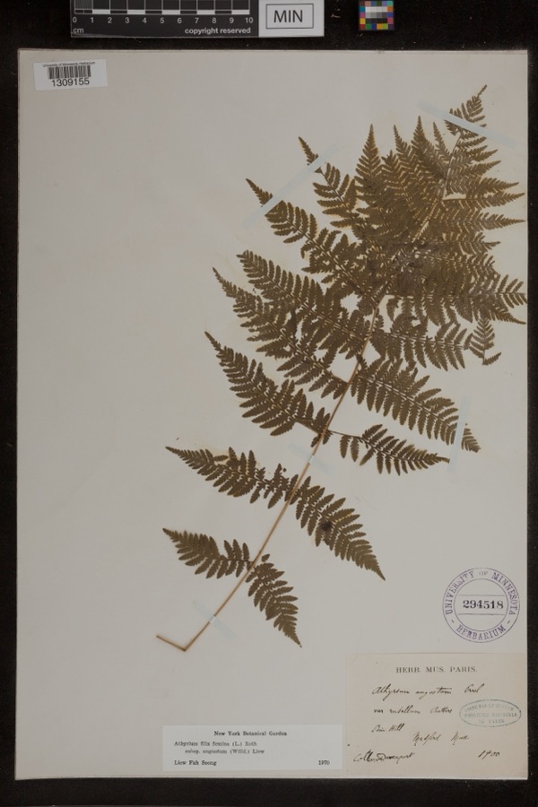
1973: 283 Plantae, 171 Fungi, 161 Animalia, 8 Unrecorded, 6 Chromista, 3 Protozoa. 12 distinct Species records are shown.
Collected by A. B. Seymour, A. Ferrett, A. H. Allen and others. Each is a
physical object with a catalogue
number, and each entry opens the museum's record. This is what was
collected and kept, not a survey of what lives here - nothing can be
concluded from a species being absent.
Regional context, not property-specific
evidence. The federal mineral resources record lists
1 working within 5 miles of Wood, Ahijah, House: 1 past producer.
None of them still produces. What was taken out: Sand and Gravel, Construction. Distance is straight-line from the
map coordinates, so a quarry counted here may appear on a neighbouring
settlement's page as well.
Regional context, not property-specific
evidence. The National Weather Service names
Westminster, the town this property stands in, in 10 storm reports between 2005 and 2018: 3 thunderstorm wind, 3 hail, 2 flash flood, 1 lightning.
No death or injury is recorded in these reports. Each account below is quoted exactly as the forecast office
filed it, from the NOAA Storm Events Database, and each date
opens the federal record of that event.
In Westminster and Athol and Leicester, several basements were flooded. The Blackstone River overflowed its banks in Uxbridge spilling on to Blackstone and Lower Mendon Streets and flooding basements on Blackstone Street. In Worcester, there were flooded basements on Milbury, Hooper, and Brookline Streets. In addition, Beaver Brook overflowed flooding a parking lot.
At 9:16 AM EST, moderate flooding was reported under several railroad underpasses southwest of Fitchburg. This included Princeton Road and State Route 2A.
No historic map-sheet match is published
for this property yet. That does not mean no map exists. This record needs
a coordinate-quality review before it can be joined to a sheet boundary.
Browse the county's mapped places while that work is
pending.
From the nomination file
6,253 words on record
When this property was proposed for the
National Register, someone wrote the case for it: what the building is,
and why it matters. That document is a federal record in the public domain.
It is quoted below word for word, never summarised. The text was read off the scanned case file by machine, so the
occasional stray character is the recogniser's and the 1970s
typewriter's.
Description of the property
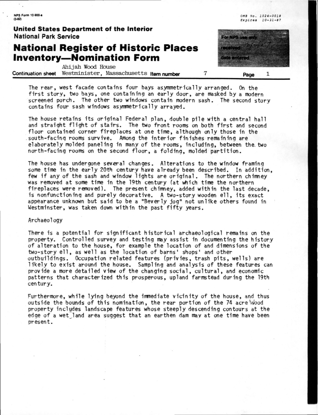
The Ahijah wood House, Westminster, is located in a rural setting on the western side of Worcester Road (Route 140), about a mile south of Westminster's center and a quarter mile north of the entrance to Wachusett Mountain State Reservation. The house, built ca. 1795, sits on a low rise above a dry-laid stone retaining wall. Built of brick laid in Flemish bond, it rises 2 1/2 stories above a fieldstone foundation and brick watertable to a steep-pitched double hipped roof. The house has a double-pile plan and is five bays wide with a central entry; two chimeys are located just beh ind the second hip's ridge. The roofing material is asphalt.
Also on the property are two noncontributing buildings constructed in the late 20th century: to the northwest of the house, a three-car garage; and to the south, a large barn built on the site of a 19th century barn. The house is located at the foot of a hill (maximum elevation of the property is 1,150 feet) on a large lot that is for the most part heavily wooded. The house is set back about 30 feet from the road and is fronted by a lawn. To the rear is a fenced cow pasture. The Nathan Wood House, located a short distance north on Worcester Road, is not visible from the Ahijah Wood House. The main, east facade is symmetrical, with two ranks of closely spaced bays flanked the entryway. The entry is approached by several granite steps.
Fenestration consists of 6/6 sash here as throughout the building. first story, both the windows and the doorway are enhanced by five-light transoms set beneath wood-frame segmental arches. Shallow brick relieving arches further define the openings.
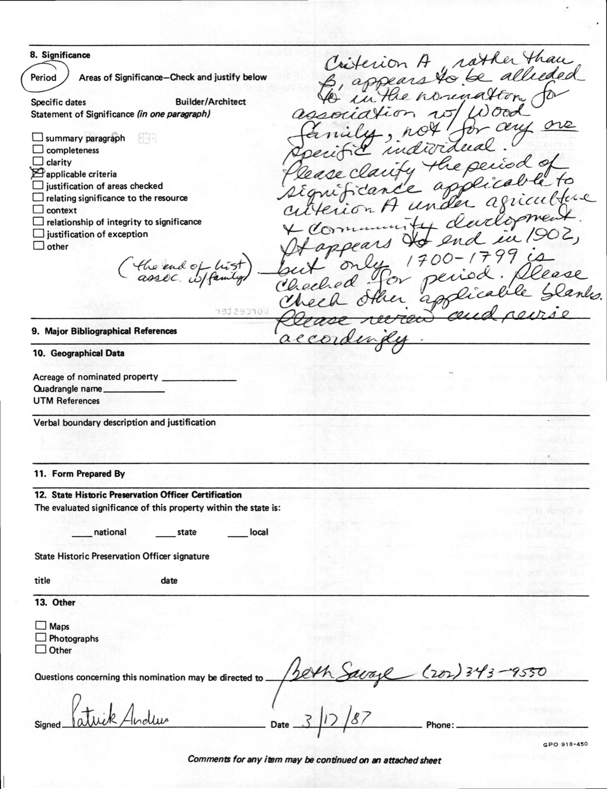
(in one paragraph) The Ahijah Wood House, a fine, vernacular Federal-per iod residence with an umusual double-hipped roof, retains integrity of location, design, setting, feeling, and association. Built ca. 1795, the house is architecturallly significant for its well-preserved Federal styling and historically significant for its associations with one of Westminster's most prominent local families, the Woods. The Ahijah Wood House thus fulfils Criteria B and C of the National Register of Historic Places on the local level. The town of Westminster, known initially as Narragansett #2, was one of seven townsh ips des ignated in 1733 as part of a land grant made in 1728 by the General Court; this grant fulfilled a commitment made in 1685 to veterans of King Philip's War and their survivors.
Located just north of Wachusett Mountain in north-central Massachusetts, Westminster received its first European settlers in 1737. In 1739, six acres were set aside on a hill north of Wachusett Mountain, in the southeast section of the township, for a meetinghouse, burying ground, and training field. Located near 156-acre Mee tinghous e Pond, the area, the present Academy Hill Common, formed the center of the new village. (The remaining core of the original village settlement was nominated to the National Register in 1983 as the Academy Hill Historic District.) Settlement proceeded slowly despite the inducements of a $40 bounty and construction of a gristmill (1741) to lure families.
By 1750, only thirty-two families had erected houses and cleared their mandated three acres on lots of sixty acres each. It was not until after 1750, when the Legis lature ordered meetings of proprietors to be held in the township and decisions were rendered allowing public improvements (especially highways) that new residents were reta ined.
Quoted from the National Register nomination
for reference 87000374, 28 pages, held by the National Archives in Record
Group 79. See the
catalogue record.
Listed places nearby
6 within 8 miles
Other National Register properties close
enough to walk or drive between, ordered by distance from this one. Both
positions come from the same geocoding pass that matched these properties
to their map sheets.
Listing record. National Park Service National Register of Historic Places, listed-properties dataset, current to 2026-05-22.
Map join. Address geocoded through the United States Census geocoder, then tested against the published boundary of every sheet in the USGS Historical Topographic Map Collection.
How this page is made. Listing fields come from federal records; map-sheet coverage is a labelled coordinate-to-boundary calculation, not a source-field claim.
Wildfire. Short, Karen C. 2022. Spatial wildfire occurrence data for the United States, 1992-2020 [FPA_FOD_20221014]. 6th Edition. Fort Collins, CO: Forest Service Research Data Archive. https://doi.org/10.2737/RDS-2013-0009.6 Collected with United States Government funding and usable without additional permissions or fees.
Specimens. Global Biodiversity Information Facility (GBIF), https://www.gbif.org/. Only records licensed CC0 or CC BY are used. Records licensed CC BY-NC are excluded because this site carries advertising. Images are checked individually and any whose licence is non-commercial, no-derivatives or unreadable is refused.
Mines and quarries. USGS Mineral Resources Data System (MRDS) https://mrdata.usgs.gov/mrds/ A work of the United States government, no copyright under 17 U.S.C. 105.
Storms. NOAA National Centers for Environmental Information, Storm Events Database https://www.ncei.noaa.gov/stormevents/ A work of the United States government, no copyright under 17 U.S.C. 105. Narratives are quoted verbatim from the National Weather Service report and are not edited or summarised.
 Block
Block