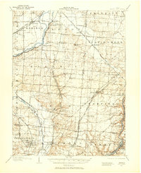
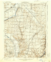
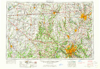
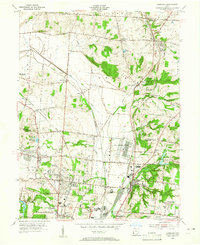
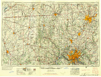
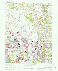
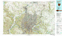
Listed on the National Register of Historic Places in 2003. 7 historic topographic surveys show this location, the earliest from 1904.
From the record
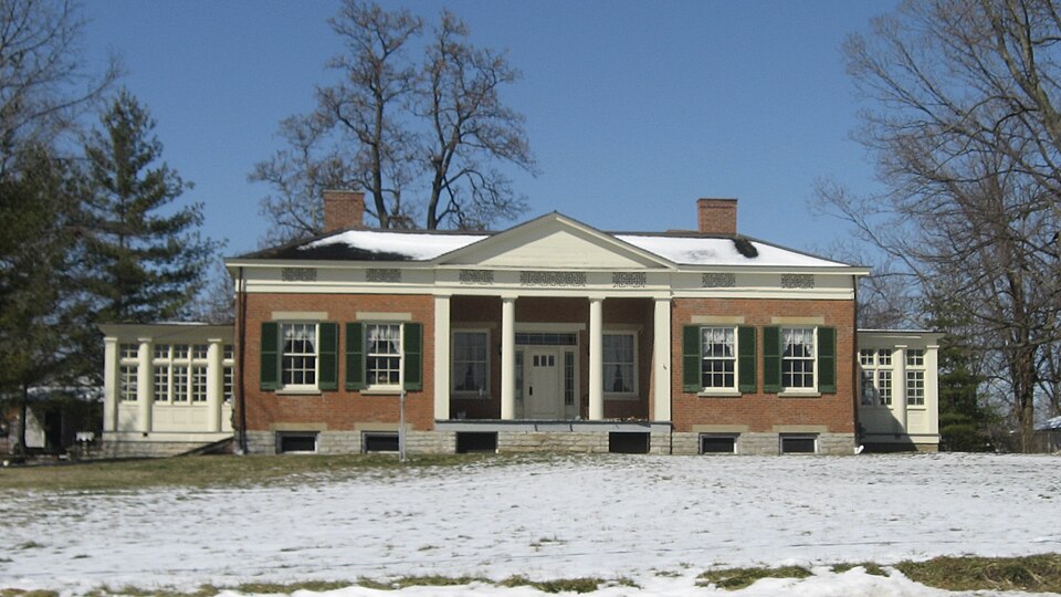
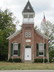
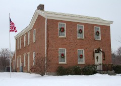
“Conrey House is a historic house located on an old intercity road in southeastern Butler County, Ohio, United States. Although the identification is unclear, it may have once been a tavern on the road, which connects Cincinnati and Columbus.”
Wikipedia article James D. Conrey House, CC BY-SA 4.0.
One of 82 National Register listings published here for Butler County · listed in 2003 · category: Building.
National Register reference number.03001100- the number the National Park Service assigned this property when it was listed, and the key its nomination file is catalogued under at the National Archives.
Maryland. To that marriage were born two children, one of whom is now living, the wife of George Jackson, a resident of Lebanon. Major Elliott settled upon his present place in 1824. It was then entirely wild. He put up a log cabin, cleared up the place, and rapidly improved it. He bought the land from General William Henry Harrison, afterward President. He put up a hewed-log house, and remained there until building a brick one about 1840. The major was long active in military affairs, having command of the regiment in Butler County in 1837. On the making of the turnpike from Cincinnati to Dayton, he was elected director, and has been annually elected ever since. He has been township trustee for many years. He is a member of the Methodist Episcopal Church, and has been for many years, and is one of the leading laymen of the denomination. He is frequently called upon to make addresses before Sunday-schools and temperance societies. He has been president of the Pioneer Association of Warren and Butler Counties, and is an active and esteemed member of that body. Although eighty-two years of age, his bodily strength is still considerable, and his mental faculties unweakened. For many of the recollections embodied in these pages we are indebted to him.
Gano is a small place on the southern portion of the township, on the Cleveland, Columbus, Cincinnati and Indianapolis Railroad, and is a station built since that road was put through, by Charles Gano, of Cincinnati. This was in 1874. In 1879 Mr. Charles Gano, Jr., built a large flouring-mill and did a fine business, but unfortunately the mill took fire soon after it was erected and burned down. The ambition of the village tempered down after the loss of the grain trade incident to this event, and Maudville was left thenceforth as cock of the walk. A- well one hundred and twelve feet deep was dug near this mill for water, but gas was discovered and from that time to this it oozes up in great quantity. This gas was conducted by a pipe into the mill and was used for drying the wheat; it probably comes from the decomposed matter of the drift below, and is odorless. Mr. C. L. Gano owns a beautiful residence in this place.
Regional context, not property-specific
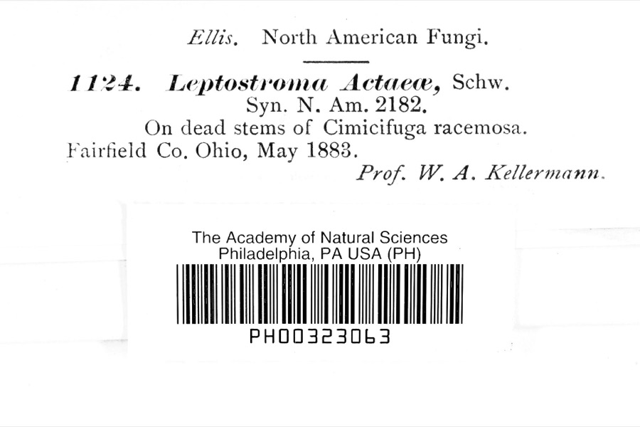
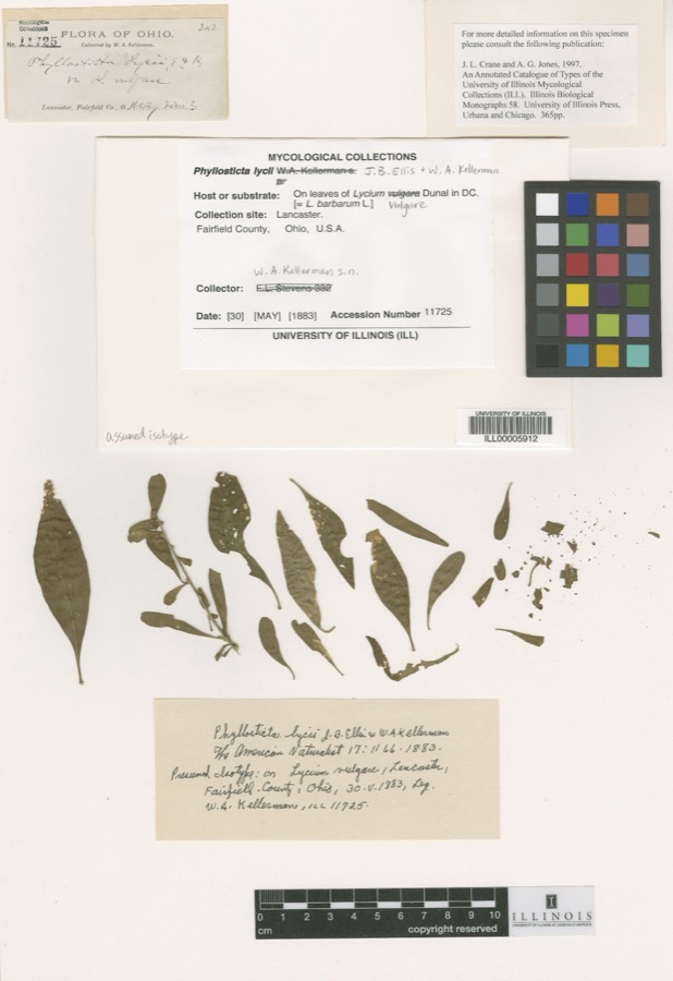
evidence. Museums hold 277 specimens
collected within 10 miles of James D. Spread Eagle Tavern-Conrey House between 1879 and 1975: 258 Animalia, 12 Plantae, 6 Fungi, 1 Unrecorded.
12 distinct Species records are shown.
Collected by Arden R. Gaufin, Bartley, F., Belk, E. and others. Each is a
physical object with a catalogue
number, and each entry opens the museum's record. This is what was
collected and kept, not a survey of what lives here - nothing can be
concluded from a species being absent.
United States Geological Survey topographic
sheets whose coverage includes this point. Matched by taking the coordinate the National Park Service records for this property, then
testing that coordinate against the published boundary of every sheet.
When this property was proposed for the
National Register, someone wrote the case for it: what the building is,
and why it matters. That document is a federal record in the public domain.
It is quoted below word for word, never summarised. The text was read off the scanned case file by machine, so the
occasional stray character is the recogniser's and the 1970s
typewriter's.
Statement of significance
Applicable National Register Criteria (Mark "x" in one or more boxes for the criteria qualifying the property for National Register listing) _A Property is associated with events that have made a significant contribution to the broad patterns of our history. B Property is associated with the lives of persons significant in our past. X C Property embodies the distinctive characteristics of a type, period, or method of construction or represents the work of a master, or possesses high artistic values, or represents a __D Property has yielded, or is likely to yield information important - a owned by a religious institution or used for religious purposes. _b removed from its original location. _c a birthplace or a grave. d a cemetery. e a reconstructed building, object, or structure.
f a commemorative property. g less than 50 years of age or achieved significance within the past 50 years. Areas of Significance (Enter categories from instructions) Architecture other individual distinction. significant and distinguishable entity whose components lack Criteria Considerations Mark"X"in all the boxes that apply.) in prehistory or history. Spread Eagle Tavern Butler County, Ohio Page 4 Ca. 1900 Significant Person (Complete if Criterion B is marked above) 9.
Quoted from the National Register nomination
for reference 03001100, 46 pages, held by the National Archives in Record
Group 79. See the
catalogue record.
Listed places nearby
4 within 8 miles
Other National Register properties close
enough to walk or drive between, ordered by distance from this one. Both
positions come from the same geocoding pass that matched these properties
to their map sheets.
Listing record. National Park Service National Register of Historic Places, listed-properties dataset, current to 2026-05-22.
Map join. Address geocoded through the United States Census geocoder, then tested against the published boundary of every sheet in the USGS Historical Topographic Map Collection.
How this page is made. Listing fields come from federal records; map-sheet coverage is a labelled coordinate-to-boundary calculation, not a source-field claim.
Specimens. Global Biodiversity Information Facility (GBIF), https://www.gbif.org/. Only records licensed CC0 or CC BY are used. Records licensed CC BY-NC are excluded because this site carries advertising. Images are checked individually and any whose licence is non-commercial, no-derivatives or unreadable is refused.
 Block