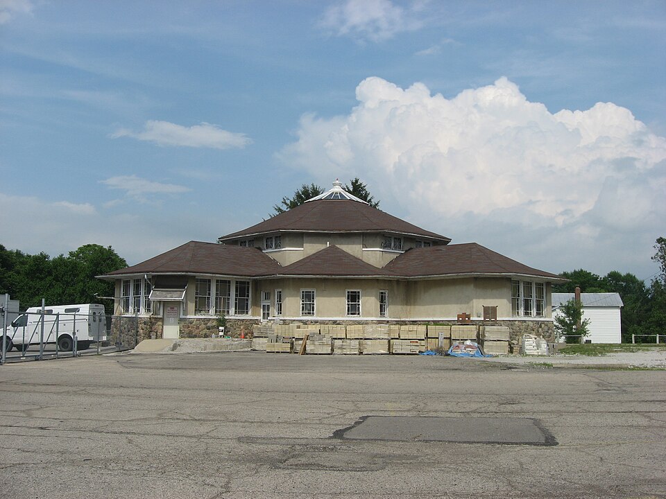
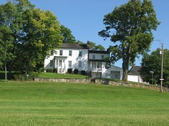
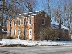
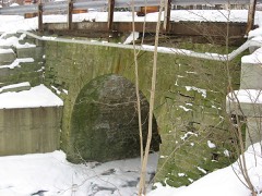
Built in 1880. Listed on the National Register of Historic Places in
2009. A historic map-sheet match is not published yet. The record needs a coordinate-quality review before it can be joined to a sheet boundary.
From the record
“Olive Branch High School was a public high school near New Carlisle, Ohio.”
Wikipedia article Olive Branch High School (New Carlisle, Ohio), CC BY-SA 4.0.
one of 32 National Register listings in Clark County · listed in 2009 · category: Building · built in 1880.
National Register reference number.09000563- the number the National Park Service assigned this property when it was listed, and the key its nomination file is catalogued under at the National Archives.
After w severe two hours! fight during the night, the men reached Harper's Ferry. 'The regiment camped fora time near New York and Brooklyn. September 6, they guard a train in Virginia, Oclober 10, they stund to urms all wight, and next day take pluce on the first line nem the Rappabunnock. November 7, they cornered and captured ao number of prisovers. Shelled at Brandy Station, acting vs train-guard, and fighting at Locust Grove, the men finally go into winter quarters at the Station. May 4, the regiment buving passed the Rupidan at Germania Ford, take position on the extreme right iu the Wilderness. They skirmish, charge, and, driving the enemy, hold bis works till dark, and then go back for ammunition. Ilere they lose ninelcen killed, eighty-cight wounded, and eleven missing. Next day they withstand artillery, and wt night fall buck, After several skirmishes, the 110th engage the one upon the banks of Mad River, the other on a tributary, and supplied a convenionce to the farmiug interest. James Leffel is imperfectly known as the inventor of the double turbine water-wheels, g0 extensively manufactured at Springfield, and generally demanded the world over. Personally the inyention was not lugrative, but his widow realizes fro this source u bandsome income. Sumuel Smith was w settler on the creek above Donnelsville in 1510, Ile was no eceentri¢ character. In 1808, Jacob Funderbaugh, of Virginia, bronght on a family of eight children, John, Daniel, and David Miller took up lands in tho north of the township. Dounelaville, a village of two or three hundred inhabitants, was laid out August 6, 1886, by James Donnels and Alwabam Smith, Reuben Miller being surveyor. Its growth waa rapid for Lwo or three years, and then ceased, The first house was moved from Lowry's paper-mill. Donunelg kept the first tavern, John Movorehonse the first store, and Wood tho first The Methodists erected here a church in 1842, was platted August 24, 1816, by Archibald Stoel, and the auknowledgment taken before Samuel Smith, a jnstive of the ponce. The first house was built ly Jacob Hersey, the proprietor of whut was culled the MeQueen Mill." also the first postmaster of the village. New Carlisle, a town of some hundred people, was formerly known as Monroe. It was laid out by Wim. M. Rayburn on July 25, 1818, John Cram beiag justice of the peace at the timu.
Dounecleorille was kod out about 1522 by Cay&, Abram Saith. The eens of 1990 gave 4 22? medias, who PA one Gry gods store, two grocery and provision shores 2 wegen zn Wiockenmitb chop, two ede shops, Douneleville is situated on the Nationa road, seven miles west of SpringGield, and eosfeine two ceurcbes The Methodist Epe Church was formed of 2 clam, fest im 1519 uet a£ be house of - - Che father of. Jeremih LSA, sho ved Bost two miles moríh A the village. to which it was removed about tucky, in 1798, at which time the denomination first took the form of a distinctive church. A letter before us, written by Judge David J. Cory, of Findlay, Hancock Co., Ohio, says, * As to the date of the organization of the Christian Church in New Carlisle, I am unable to say. The first I recollect of it was in 1805, when I was about four years old; meeting was held in our cabin. I remember going to bed at dark, after getting a good nap, then be waked up by the singing, and lay in bed listening, and well remember how badly I felt." The Judge then says that he well remembers hearing his mother speak of incidents connected with the church that warrants the belief that the church was organized as early as 1799, or 1800 at the latest. After a time, the cabin on the Cory farm became too small to accommodate the people; a cabin church was builtopposite the cemetery, on the Crawford farm, west of the Cory farm, where they worshiped for a number of years. The church building in the village was erected about 1827; later, it was remodeled into its present condition - that of a substantial, comfortable place of worship. Among the earlier Pastors of this church were Stackhouse, Worley, Purviance, the Elder MeCoy, Potter, the Elder Simonton, Baker and Reeder, and others who are held in reverence as earnest, self-denying men of their times. The church has maintained its organization under the times of depression and through all the various vicissitudes it has been called to pass through. More recently, its membership has been increased under the labors of the present Pastor, Rev. T. C. Diltz The Presbyterian Church, or the Honey Creek Church, as it was formerly called, is also one of the ancient landmarks of the Miami Valley. "The first record of this church is found in the minütes of the Transylvania Presbytery, whose bounds are thus described in said minutes: * On the north by Cherokee Creek, on the east by the Alleghany Mountains, on the west by sunset, on the south by Tennessee." Rev. William Robinson was Pastor of the Mount Pleasant and Indian Creek Churches in Kentucky; salary, $110; resigned in 1802, and became Pastor of the Presbyterian Church in Dayton, Ohio, who worshiped in a log meeting-house that stood on the same lot now occupied by the court house. Mr. Robinson in the same year preached to a congregation on Honey Creek. The Rev. John Thompson, who was then known as the *Miami Joshua," preached to Presbyterian congregations in the Miami Valley in 1800, one of which was on the Mad River at Decker and Kreb's Indian Station, near Boston. Mr. Robinson and Rev. James Welsh visited Honey Creek occasionally until 1804, when Mr. Robinson organized Honey Creek Church and supplied it with preaching occasionally until 1807, when the Rev. Archibald Steel came to the county and settled where Medway now stands. Mr. Steel preached as a licentiate until ,1815, when we find the following minute in the record of the Miami Presbytery: *A. Steel was examined in Latin, Greek, history, philosophy and theology, as parts of trial for ordination. The examination was sustained." And thereupon the candidate was ordained in the log schoolhouse at Springfield, on Buck Creek, in Champaign County, June 22, 1815. The first meeting-house of Honey Creek Church was built of logs, in the cemetery south of Carlisle, about the time Mr. Steel began to preach to the church. The first Ruling Elders were Adam McPherson, Sr., John H. Crawford and Joseph Robinson, who were " set apart according to the book" by the Pastor, William Robinson, when the church was organized in 1804. The congregation continued to worship in the log church until 1828, when the present building was erected in the village. We will say here, the building was remodeled to its present appearance in 1866. Rev. A. Steel was Pastor from 1807 until his death, which occurred in 1831. Rev. William Gray succeeded Mr. Steel, and was Pastor from May 12, 1832, to April, 1841. Rev. E. R. Johnson, as a licentiate, was stated supply from February 28, 1841, to May 15, 1842, when he was ordained and installed Pastor (Dr. Lyman Beecher preached the ordination sermon), and continued to serve the church until his death, which occurred September 6, 1862. His pastorate extended over twenty years. Mr. Johnson was succeeded by the Rev. Lusk, he by Rev. G. Beaty, he by Rev. B. Graves, he by Rev. Thomas, then Rev. G; M. Hair, lastly Rev. H. P. Cory. The church is now without a Pastor. Number of members, 150. We find in the records of Honey Creek Church the names of many of the earlier settlers: among them were John Steel, the father of Rev. A. Steel, who died in 1818; John Forgy, Adam McPherson, Sr, Adam McPherson, Jr., Samuel McKinney, James Forgy, John Paul, John Wallace, Joseph Stafford, John Clengan. Stewart Forgy, William Holmes, John Ainsworth, John Montgomery, Abner Kelley, Ezekiel Paramee, who were among the solid men of the times. and did their share in -learing up the country, as well as sustaining the church.
Regional context, not property-specific
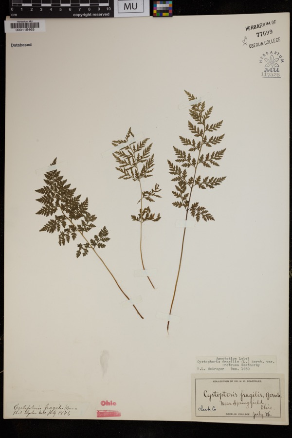
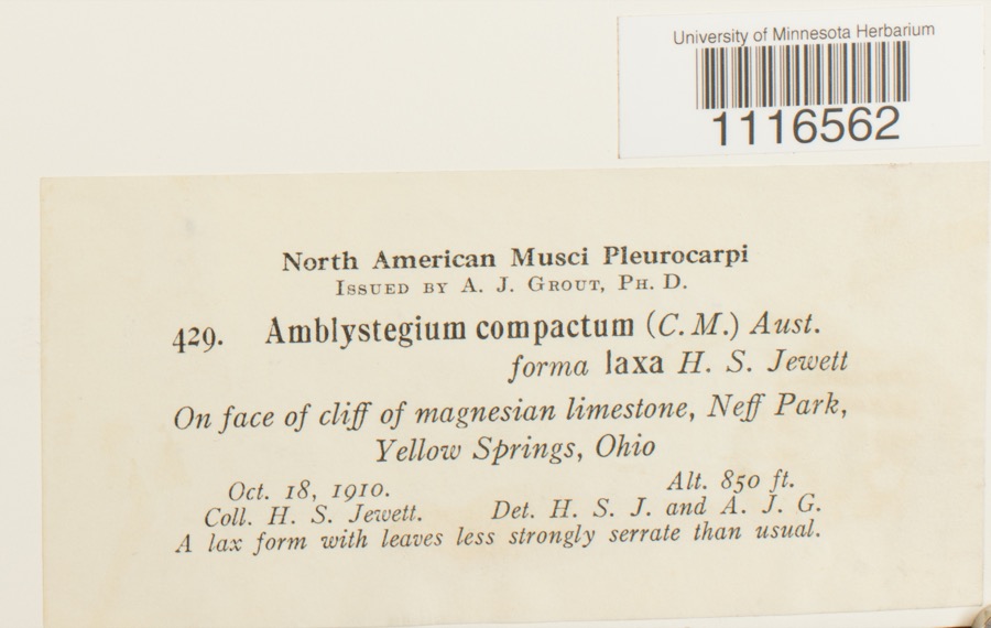
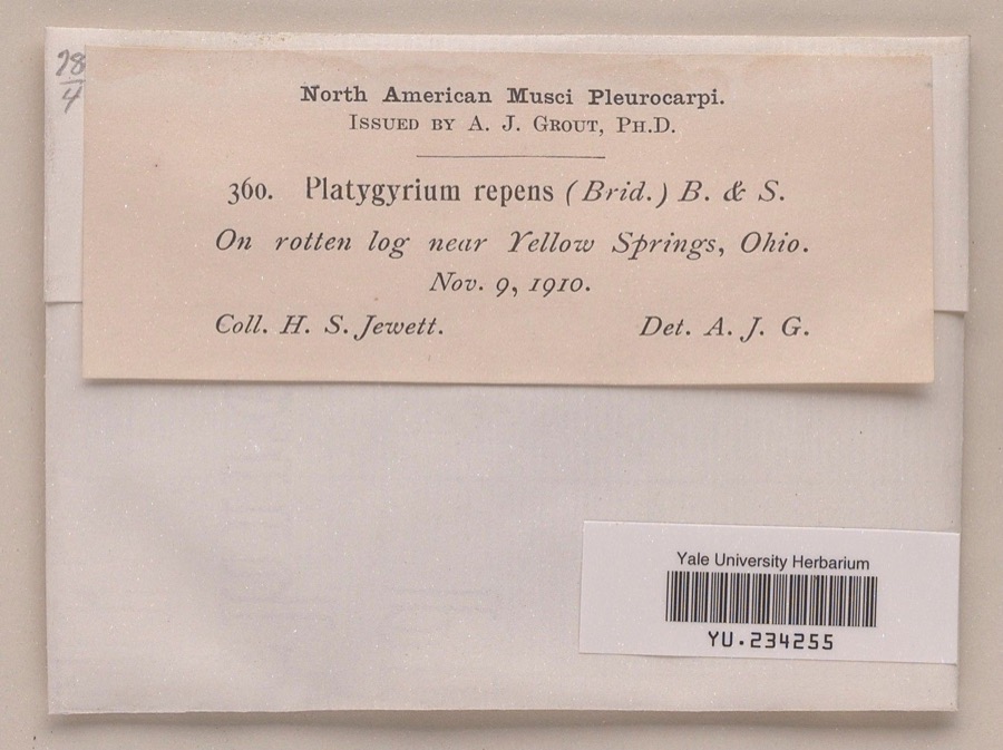
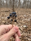
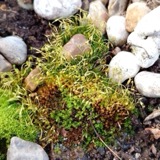
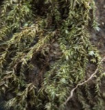
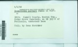
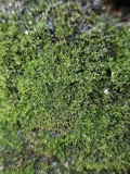
evidence. Museums hold 521 specimens
collected within 10 miles of Olive Branch High School between 1840 and
1975: 277 Animalia, 167 Plantae, 69 Fungi, 7 Protozoa, 1 Unrecorded. 12 distinct Species records are shown.
Collected by 73.7; J.H., A JOHN, A. Barron and others. Each is a
physical object with a catalogue
number, and each entry opens the museum's record. This is what was
collected and kept, not a survey of what lives here - nothing can be
concluded from a species being absent.
Regional context, not property-specific
evidence. The federal mineral resources record lists
9 workings within 5 miles of Olive Branch High School: 6 past producers, 3 producers.
3 still produce. What was taken out: Sand and Gravel, Construction. Distance is straight-line from the
map coordinates, so a quarry counted here may appear on a neighbouring
settlement's page as well.
Regional context, not property-specific
evidence. The National Weather Service names
New Carlisle, the town this property stands in, in 37 storm reports between 1994 and 2025: 26 thunderstorm wind, 8 hail, 1 flash flood, 1 flood.
No death or injury is recorded in these reports. Each account below is quoted exactly as the forecast office
filed it, from the NOAA Storm Events Database, and each date
opens the federal record of that event.
A thunderstorms produced very strong winds across the southwestern part of the county. A spotter measured a wind gust to 91 mph in Medway. Many trees and power lines were downed in this largely rural area.
The tornado touched down near a cemetery where several trees were snapped or uprooted in this area. Further to the northeast, an RV dealership on the east side of New Carlisle experienced damage when a roof was partially lifted off the building. Two by four roof support beams were driven into the ground. In this same area, large debris was blown into a public pool complex. Snapped trees and power poles were also found in this area. Maximum estimated wind speeds based on damage were around 70 miles per hour.
Numerous trees were reported down, an awning and door were ripped off a building, and roof and siding damage occurred to a residence due to damaging thunderstorm winds.
No historic map-sheet match is published
for this property yet. That does not mean no map exists. This record needs
a coordinate-quality review before it can be joined to a sheet boundary.
Browse the county's mapped places while that work is
pending.
From the nomination file
8,478 words on record
When this property was proposed for the
National Register, someone wrote the case for it: what the building is,
and why it matters. That document is a federal record in the public domain.
It is quoted below word for word, never summarised. The text was read off the scanned case file by machine, so the
occasional stray character is the recogniser's and the 1970s
typewriter's.
Statement of significance
Applicable National Register Criteria (Mark "x" in one or more boxes Areas of Significance for the criteria qualifying the property for National Register listing) _A Property is associated with events that have made a significant contribution to the broad Property is associated with the lives of persons C Property embodies the distinctive characteristics of a type, period, or method of construction or represents the work of a master, or possesses high artistic values, or represents a significant and Period of Significance distinguishable entity whose components lack Property has yielded, or is likely to yield information Significant Dates Criteria Considerations (Mark "X" in all the boxes that apply.) owned by a religious institution or used for removed from its original location.
(Complete if Criterion B is marked above) a cemetery. a reconstructed building, object, or structure. a commemorative property. less than 50 years of age or achieved significance within the past 50 years. Narrative Statement of Significance (Explain the significance of the property on one or more continuation sheets.) Charles Insco Williams R. Bert Hause (builder) 9.
Quoted from the National Register nomination
for reference 09000563, 51 pages, held by the National Archives in Record
Group 79. See the
catalogue record.
Listed places nearby
3 within 8 miles
Other National Register properties close
enough to walk or drive between, ordered by distance from this one. Both
positions come from the same geocoding pass that matched these properties
to their map sheets.
Listing record. National Park Service National Register of Historic Places, listed-properties dataset, current to 2026-05-22.
Map join. Address geocoded through the United States Census geocoder, then tested against the published boundary of every sheet in the USGS Historical Topographic Map Collection.
How this page is made. Listing fields come from federal records; map-sheet coverage is a labelled coordinate-to-boundary calculation, not a source-field claim.
Specimens. Global Biodiversity Information Facility (GBIF), https://www.gbif.org/. Only records licensed CC0 or CC BY are used. Records licensed CC BY-NC are excluded because this site carries advertising. Images are checked individually and any whose licence is non-commercial, no-derivatives or unreadable is refused.
Mines and quarries. USGS Mineral Resources Data System (MRDS) https://mrdata.usgs.gov/mrds/ A work of the United States government, no copyright under 17 U.S.C. 105.
Storms. NOAA National Centers for Environmental Information, Storm Events Database https://www.ncei.noaa.gov/stormevents/ A work of the United States government, no copyright under 17 U.S.C. 105. Narratives are quoted verbatim from the National Weather Service report and are not edited or summarised.
 Block
Block