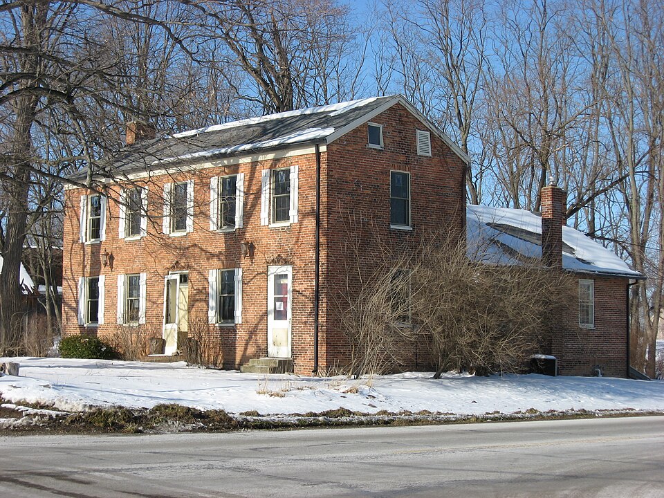
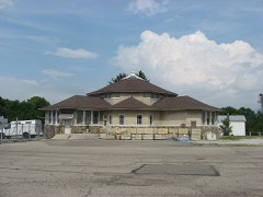
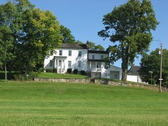
Listed on the National Register of Historic Places in
1997. A historic map-sheet match is not published yet. The record needs a coordinate-quality review before it can be joined to a sheet boundary.
From the record
“For a few years immediately following the coming of the above-mentioned pioneers, we have little knowledge of settlements made, and of those making of them. William Simms and Samuel Brandenburg, the latter from Kentucky, entering land in Section 13, were early settlers of Pike, but as the dates of their coming and further knowledge of them we have been unable to obtain.”
The History of Clark County Ohio, (1881). Machine-read text.
one of 32 National Register listings in Clark County · listed in 1997 · category: Building.
National Register reference number.96001619- the number the National Park Service assigned this property when it was listed, and the key its nomination file is catalogued under at the National Archives.
The ground it stands on
19,254 words
The chapter on Pike Township in The History of Clark County Ohio,, published 1881 names New Carlisle. This is what it says, exactly as the scans read.
Black graveyard. For a few years immediately following the coming of the above-mentioned pioneers, we have little knowledge of settlements made, and of those making of them. William Simms and Samuel Brandenburg, the latter from Kentucky, entering land in Section 13, were early settlers of Pike, but as the dates of their coming and further knowledge of them we have been unable to obtain. In the year 1811, the little colony was inereased by the arrival of Thomas Stafford and family. They, too, hailed from the State late known as the * Mother of Presidents," coming from Giles County, Va., and entering the northwest quarter of Section 31, and there beginning the work of the pioneer. Mr. Stafford was a native of Ireland, and, at the age of teu years, arrived in Virginia, in whieh State he married Catharine Williams, a native thereof. This couple, with three children - Peggie, Nancy and George W. - emigrated to this vieinity on horseback, making the journey in twelve days. In after years, there were born to the parents the following children: Elizabeth, James, Melinda, Thomas, Susan, John, Henry, Joseph, Catharine, William and Lucinda. The father reached the age of eighty-two years, and the mother fifty-four. They lived and died on the homestead, and are buried in Miami County. The former served as a scout in the war of 1812. Ralph Stafford, a brother of Thomas, accompanied the latter, but entered land in Miami County and in later years came to Pike Township and here died. During this same year (1811), came from Virginia James and John Black, brothers of Andrew and Samuel Black above mentioned. James made a temporary stay with his brother Andrew; then entered the southeast quarter of Section 20, on which land he resided until his death, in the year 1853. He was born August 17. 1789. His wife's name was Catharine. "They were the parents of ten children, all of whom were born in Pike Township, namely, Mary, Matthew, Susannah, Catharine, Dorcas, Joseph, Samuel, James, Julia and John A. John was united in marriage with Elizabeth Ross, and they were blessed with eight children, five of whom are now living. He entered the northwest quarter of Section 19, and there lived and died. A little later came William Black, Sr., and uncle of the Blacks just spoken of. He was from the same part of Virginia - was quite an old man when he came out. He entered the northwest quarter of Section 13, and there ended his days. About the year 1813, another of the Stafford brothers, George by name, came from the Stafford neighborhood in Virginia, and entered the west half of Section 3l. His wife was Catharine Fair. They reared a large family of children. This same year (1813), James Fuller with his family left Montgomery County,,Va., stopping one year in Kentucky, thence proceeding to the vicinity of New Carlisle, in Bethel Township, where he remained about two years, and thence into Pike Township, entering the west half of Section 21, for which he paid $2 per acre. His children were Ellen, Sarah, James C., Moses, Bradley and Rhoda, of whom James C. is now residing on the old bomestead. The mother died in 1844, and the father in February, 1552, the latter in his eighty-fourth year. Both are buried in the Black graveyard. Northrup Fuller, the father of James, settled in Section 22, a little later entering the southeast quarter. Besides the son mentioned there were the following children: John, Moses, Obadiah, William, Robert and Sarah, all settled in Clark County, and the greater part of them in this township. In the year 1512, Benjamin Carmin and family came from the State of Maryland and entered land in what is now Pike Township, where he resided until his death, which occurred in the year 1827. Mr. Carmin was a native of Blackford County. Md., and his wife of Virginia. About the year 1816, Jacob Frantz settled in Section 7, the northeast quarter of which had been entered by one Hanline, at least the patent was granted to Mr. Frantz as the assignee of the Hanline heirs. At any rate, the person entering it was not able to meet the payments, and the land was purchased by Mr. Frantz, and the grant given as aforesaid. Louis Ray and family emigrated from the State of Virginia in the year 1812, stopping at Cincinnati, where they remained one year; then came to Clark County, locating near Springfield, and four years later purchased land in the vicinity of North Hampton, Pike Township. He married Elizabeth Zigler, and raised a family of ten children, six of whom are now living. The southwest quarter of Section 3 was entered about the year 1815 or 1816, by George Overpack, another Virginian. His wife was Martha Currene, both natives of that State, which they left in the year 1807, going to Miami County on Indian Creek, thence to Springfield Township, and up into Pike as aforesaid. They were Methodists, and their house served as the place of worship for years. Mr. Overpack raised a large family, consisting of the following named children: Mary, Susan, Margaret, Ruth, William, Elizabeth, Maria, Samuel, Isaae, Phebe and George, two of whom still reside in the township. Father died in January, 1846, and the mother in January, 1866. Both were buried in Asbury graveyard. William Spence and family settled in the vicinity of North Hampton in the year 1818, they having emigrated from England in 1816,:stopping in Cincinnati two years. There were thirteen children born to the parents. The Bixlers, Basingers, Forgys and Leffels were also early settlers. The Basingers were from Virginia. The southeast quarter of Section 9 was entered by Obediah Lippincott, who with his wife Margaret Reed came from New Jersey about the year 1810, first stopping in Warren County; thence going to Greene County and to Pike Township. They were born in the years 1786 and 1787 respectively. Both are buried in Asbury graveyard. The Priests were early settlers, too. John in an early day emigrated to Kentucky (from Virginia); and thence to this vicinity, entering the northwest quarter of Section 27.
Regional context, not property-specific
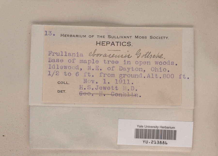
evidence. Museums hold 174 specimens
collected within 10 miles of Ollie's Tavern between 1897 and
1975: 145 Animalia, 16 Plantae, 9 Fungi, 3 Protozoa, 1 Chromista. 12 distinct Species records are shown.
Collected by A. N. Leeds, A. R. Gaufin, A.R. Gaufin, H.H. Ross and others. Each is a
physical object with a catalogue
number, and each entry opens the museum's record. This is what was
collected and kept, not a survey of what lives here - nothing can be
concluded from a species being absent.
Regional context, not property-specific
evidence. The federal mineral resources record lists
4 workings within 5 miles of Ollie's Tavern: 4 past producers.
None of them still produces. What was taken out: Sand and Gravel, Construction. Distance is straight-line from the
map coordinates, so a quarry counted here may appear on a neighbouring
settlement's page as well.
Regional context, not property-specific
evidence. The National Weather Service names
New Carlisle, the town this property stands in, in 37 storm reports between 1994 and 2025: 26 thunderstorm wind, 8 hail, 1 flash flood, 1 flood.
No death or injury is recorded in these reports. Each account below is quoted exactly as the forecast office
filed it, from the NOAA Storm Events Database, and each date
opens the federal record of that event.
A thunderstorms produced very strong winds across the southwestern part of the county. A spotter measured a wind gust to 91 mph in Medway. Many trees and power lines were downed in this largely rural area.
The tornado touched down near a cemetery where several trees were snapped or uprooted in this area. Further to the northeast, an RV dealership on the east side of New Carlisle experienced damage when a roof was partially lifted off the building. Two by four roof support beams were driven into the ground. In this same area, large debris was blown into a public pool complex. Snapped trees and power poles were also found in this area. Maximum estimated wind speeds based on damage were around 70 miles per hour.
Numerous trees were reported down, an awning and door were ripped off a building, and roof and siding damage occurred to a residence due to damaging thunderstorm winds.
No historic map-sheet match is published
for this property yet. That does not mean no map exists. This record needs
a coordinate-quality review before it can be joined to a sheet boundary.
Browse the county's mapped places while that work is
pending.
From the nomination file
3,904 words on record
When this property was proposed for the
National Register, someone wrote the case for it: what the building is,
and why it matters. That document is a federal record in the public domain.
It is quoted below word for word, never summarised. The text was read off the scanned case file by machine, so the
occasional stray character is the recogniser's and the 1970s
typewriter's.
Statement of significance
Applicable National Register Criteria Areas of Significance A Property is associated with events that have made a significant contribution to the broad patterns of significant in our past. LxC Property embodies the distinctive characteristics represents the work of a master, or possesses high artistic values, or represents a significant and distinguishable entity whose components lack L D Property has yielded, or is likely to yield, information important in prehistory or history. C B removed from its original location. [ C a birthplace or grave. E a reconstructed building, object, or structure. F a commemorative property. G less than 50 years of age or achieved significance within the past 50 years. Narrative Statement of Significance 9.
Quoted from the National Register nomination
for reference 96001619, 21 pages, held by the National Archives in Record
Group 79. See the
catalogue record.
Listed places nearby
2 within 8 miles
Other National Register properties close
enough to walk or drive between, ordered by distance from this one. Both
positions come from the same geocoding pass that matched these properties
to their map sheets.
Listing record. National Park Service National Register of Historic Places, listed-properties dataset, current to 2026-05-22.
Map join. Address geocoded through the United States Census geocoder, then tested against the published boundary of every sheet in the USGS Historical Topographic Map Collection.
How this page is made. Listing fields come from federal records; map-sheet coverage is a labelled coordinate-to-boundary calculation, not a source-field claim.
Specimens. Global Biodiversity Information Facility (GBIF), https://www.gbif.org/. Only records licensed CC0 or CC BY are used. Records licensed CC BY-NC are excluded because this site carries advertising. Images are checked individually and any whose licence is non-commercial, no-derivatives or unreadable is refused.
Mines and quarries. USGS Mineral Resources Data System (MRDS) https://mrdata.usgs.gov/mrds/ A work of the United States government, no copyright under 17 U.S.C. 105.
Storms. NOAA National Centers for Environmental Information, Storm Events Database https://www.ncei.noaa.gov/stormevents/ A work of the United States government, no copyright under 17 U.S.C. 105. Narratives are quoted verbatim from the National Weather Service report and are not edited or summarised.
 Block
Block