BlockBefore
Decorative drawing: a stone memorial obelisk on a green. Not a photograph of this place.

Eugene McKinley Memorial Pool

Listed on the National Register of Historic Places in 2019. A historic map-sheet match is not published yet. The record needs a coordinate-quality review before it can be joined to a sheet boundary.

From the record

“Iron and Coal. - Upon these deposits, in their abundance and their superior quality, we might rest our claims to your action, had we no other, as the facility they give for the manufacture of iron over anywhere else in the country, insure us heavy exports by means of our routes to the seaboards, bringing back imports to a like extent. Within an average of less than thirty miles of Portsmouth, and mainly dependent upon it for trade, are fiftyseven furnaces, each manufacturing 2,500 tons annually - an aggregate of 142,500 tons of the best pig iron, known as the Hanging Rock, of which the iron and steel was made, which, in the late war, covered our Mississippi gun- boats, and protected them from Forts Henry and Douelson's Confederate balls.”

An Accurate and Concise Sketch of Portsmouth, Ohio (1876). Machine-read text.

one of 36 National Register listings in Scioto County · listed in 2019 · category: Structure.

Sources: the county history on the Internet Archive · the National Register database, National Park Service

The listing

  • What is counted as historic. The nomination lists 1 building, 1 structure as contributing to the listing.
  • Still standing. The Park Service records this property as extant.
  • Address. 1529 Findlay Street, Portsmouth, 45662
  • When was it listed? 2019-08-09
  • Category. structure
  • Also known as. Twentieth-Century African American Civil Rights Movement in Ohio MPS
  • Township. Portsmouth city
  • National Register reference number. 100004233 - assigned by the National Park Service when the property was listed.

The ground it stands on

2,591 words

The chapter on Portsmouth City in An Accurate and Concise Sketch of Portsmouth, Ohio, published 1876 names Portsmouth. This is what it says, exactly as the scans read.

Portsmouth is situated on the Ohio river, 116 miles above Cincinnati, at the mouth of the Scioto river, which flows from the centre of this great State through valleys unequalled in fertility, and of such extent as to add largely to our National exports. It is also the southern terminus of the Ohio Canal, thus affording a direct water communication between the South and West, and North and East; also of the Hocking Valley Railroad, long since constructed, and the Scioto Valley Road, now being completed from Columbus to this city. It will also necessarily form an important point in the extension of the Chesapeake and Ohio Railroad, now completed from Norfolk, Virginia, to Huntington, West Virginia, on the Ohio river, forty-five miles above this city, in its connection with the Northwest, and its point of divergence to strike the Southern Pacific Railroad. It is also probable that, either by public or private means, the James River and Kanawha Canal will be completed at no distant day,, and Portsmouth will then be the central point of three great water lines to the sea, and, as we shall proceed to show, naturally and artificially, the best entrepot of the trade, of a large and rich district of country, as it now is.

Passage source: An Accurate and Concise Sketch of Portsmouth, Ohio, published 1876.

While, as we have said, Portsmouth is one hundred and sixteen miles nearer than Cincinnati to the Atlantic seaports, the navigation of the river from New Orleans to the former is as good as to the latter, in all stages of water, while there is no important point above to which it is not obstructed by low water, or ice. None, in fact, approaching it in business or population, nearer than Wheeling, two hundred and seventy miles above,

Passage source: An Accurate and Concise Sketch of Portsmouth, Ohio, published 1876.

Machine-read from a century-old scan, so expect the errors a machine makes: misspelled names, dropped words, stray characters.

Read the whole chapter on Portsmouth City - 2,591 words on its settlement, mills, schools and churches.

Fires near this property

128 since 1997

Regional context, not property-specific evidence. The federal wildfire occurrence database lists 128 fires within 5 miles of Eugene McKinley Memorial Pool between 1997 and 2020, burning about 4,257 acres in total. None started naturally. 24 were recorded as arson. Distance is straight-line from the map coordinates, so a fire counted here may appear on a neighbouring settlement's page as well.

Reported cause Fires
Debris and open burning60
Missing data/not specified/undetermined36
Arson/incendiarism24
Recreation and ceremony5
Equipment and vehicle use2
Smoking1

The most recent of them, most recent first, with the day each was reported and the service that recorded it.

DateCause SizeReported by Name on the report
20 September 2007Missing data/not specified/undetermined20 acresOhio Department of Natural ResourcesPORTSMOUTH
2 September 1999Arson/incendiarism1.0 acresKentucky Division of Forestrynot named
19 September 2007Missing data/not specified/undetermined50 acresOhio Department of Natural ResourcesROSEMOUNT
14 September 2012Debris and open burning2.0 acresKentucky Division of ForestrySHEEP HOLL
1 August 2005Missing data/not specified/undetermined3.0 acresKentucky Division of Forestrynot named
8 July 2002Debris and open burning1.0 acresKentucky Division of Forestrynot named
5 July 2002Missing data/not specified/undetermined2.0 acresKentucky Division of Forestrynot named
28 June 2012Debris and open burning1.0 acresKentucky Division of ForestryCHURCH STR

Every fire recorded in Scioto County

Specimens collected near this property

12 of 1,284 shown

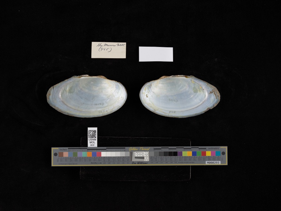
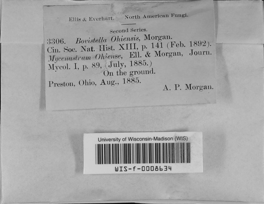
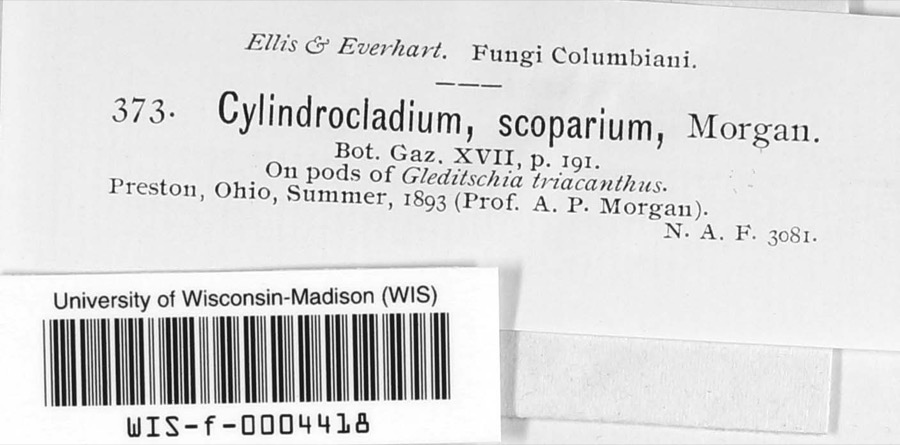
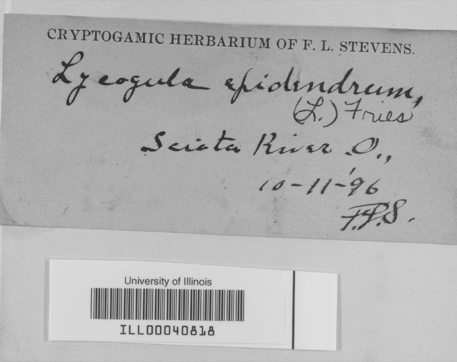
Regional context, not property-specific evidence. Museums hold 1,284 specimens collected within 10 miles of Eugene McKinley Memorial Pool between 1884 and 1975: 1,166 Animalia, 70 Plantae, 42 Fungi, 4 Protozoa, 1 Unrecorded, 1 Chromista. 12 distinct Species records are shown. Collected by ?, A.P. Morgan, Ahles, H.E. and others. Each is a physical object with a catalogue number, and each entry opens the museum's record. This is what was collected and kept, not a survey of what lives here - nothing can be concluded from a species being absent.

Image SpeciesYear Collected by Where, as recorded
Specimen of Pyganodon grandis (Say, 1829)Pyganodon grandis (Say, 1829)1884H. MoresScioto River
Specimen of Bovistella MorganBovistella Morgan1885A.P. MorganPreston
Specimen of Cylindrocladium scoparium MorganCylindrocladium scoparium Morgan1893A.P. MorganPreston
A photograph of the species Campeloma Rafinesque, not of this specimenCampeloma Rafinesque, 18191885Ch. R. OrcuttScioto River
A photograph of the species Puccinia recondita, not of this specimenPuccinia recondita Roberge ex Desm.1889Craig M.Franklin Co. "hayden's Falls" on Scioto River
Specimen of Lycogala epidendrum (L.) Fr., 1829Lycogala epidendrum (L.) Fr., 18291896not recordedScioto River
A photograph of the species Ambystoma opacum, not of this specimenAmbystoma opacum (Gravenhorst, 1807)1897Hine, J. S. (James Stewart)Portsmouth, Scioto Co., Ohio
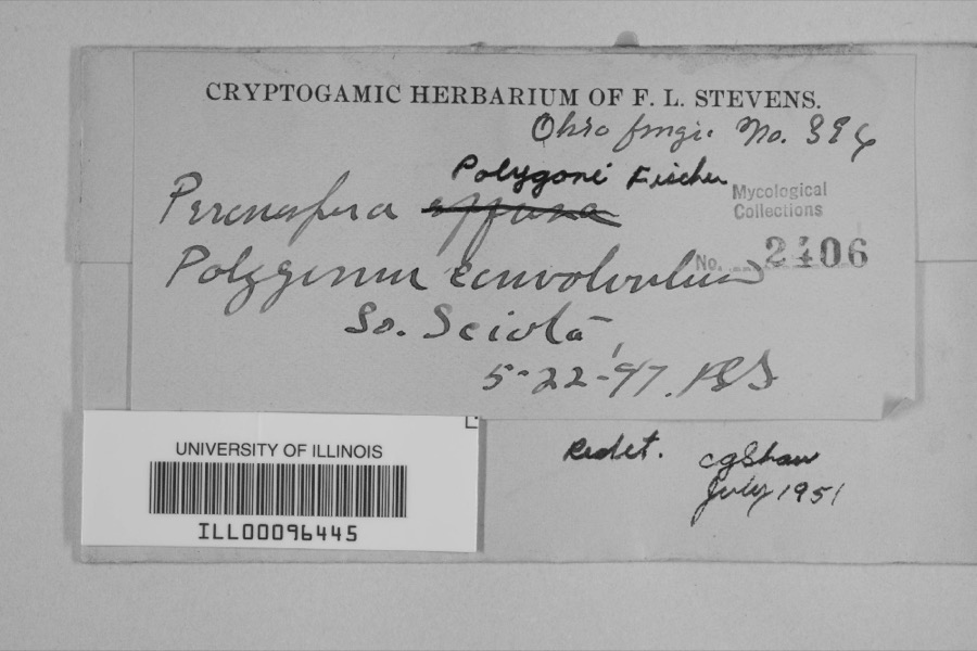
Specimen of Peronospora polygoni Halst.Peronospora polygoni Halst.1897F.L. Stevens
A photograph of the species Sialia sialis, not of this specimenSialia sialis (Linnaeus, 1758)1897Henninger, W. F. (Walther Frederick)South Webster, Scioto, Ohio, USA
A photograph of the species Sturnella magna, not of this specimenSturnella magna (Linnaeus, 1758)1897Henninger, W. F. (Walther Frederick)South Webster, Scioto, Ohio, USA
A photograph of the species Sympetrum Newman, not of this specimenSympetrum Newman, 18331897J. HinePortsmouth
A photograph of the species Sympetrum obtrusum, not of this specimenSympetrum obtrusum (Hagen, 1867)1897J. HinePortsmouth

All 1,284 specimens within 10 miles, at the Global Biodiversity Information Facility.

Mines and quarries near this property

5 within 5 miles

Regional context, not property-specific evidence. The federal mineral resources record lists 5 workings within 5 miles of Eugene McKinley Memorial Pool: 3 producers, 1 plant, 1 prospect. 4 still produce. What was taken out: Clay, Sand and Gravel, Construction, Iron, Stone, Crushed/Broken. Distance is straight-line from the map coordinates, so a quarry counted here may appear on a neighbouring settlement's page as well.

Where SiteCommodity StatusRecorded
Cyclops Corp/ New Boston, OhioIronProducer
Frankfort Mtls. PitSand and Gravel, ConstructionProducer
Own Crews QuarryStone, Crushed/BrokenProducer
Portsmouth WorksClayPlant
South Shore Clay BedClayProspect

Every working recorded in Scioto County

Storms near this property

60 of 98 shown

Regional context, not property-specific evidence. The National Weather Service names Portsmouth, the town this property stands in, in 98 storm reports between 1995 and 2024: 44 thunderstorm wind, 27 hail, 14 flash flood, 12 flood. No death or injury is recorded in these reports. Each account below is quoted exactly as the forecast office filed it, from the NOAA Storm Events Database, and each date opens the federal record of that event.

WhenEvent Place namedHarm What the report says
June 2012Thunderstorm WindPortsmouth$100,000Over 200 trees down throughout the county due to thunderstorm winds. Over a dozen homes in the county sustained damage due to tree impacts.
May 2003Flash FloodPortsmouth$50,000Numerous homes were flooded in and around Minford. US 23 was closed due to high water near the county fairgrounds. A mudslide closed US 52 near Stout.
June 1998Flash FloodPortsmouth$50,000A bridge was washed out due to persistent heavy rainfall.
June 2022Thunderstorm WindPortsmouth$30,000Numerous trees were downed in the Portsmouth area.
June 2021FloodPortsmouth$30,000Several cars were stranded in one to two feet of standing water in the city of Portsmouth. A few basements also flooded in low lying areas.
September 2024Flash FloodPortsmouth$25,000The Shawnee State University parking lot was flooded with 3 to 4 feet of water.
January 2020Thunderstorm WindPortsmouth$20,000Two buildings in downtown Portsmouth sustained some roof damage.
December 2013Thunderstorm WindPortsmouth$20,000Numerous trees and power lines were downed across the county due to thunderstorm winds.
July 1998Thunderstorm WindPortsmouth$20,000Numerous trees downed, one of which fell on a car.
August 1996Flash FloodPortsmouth$15,000no account filed
September 2024Flash FloodPortsmouth$10,000High water was up to car windows near the intersection of Grandview Avenue and 23rd Street.
March 2017Thunderstorm WindPortsmouth$10,000Numerous trees were downed throughout the county.
June 2014Thunderstorm WindPortsmouth$10,000Thunderstorm winds caused a tree to fall on a car, trapping the occupant.
May 2011Thunderstorm WindWest Portsmouth$10,000A tree fell on a mobile home due to damaging thunderstorm winds.
June 2008Flash FloodPortsmouth$10,000Numerous roads across the county were flooded and closed. Vehicles in Portsmouth were stranded in high water, and portions of Clay and Vernon Townships were also significantly affected by the flooding. A retaining wall collapsed next to a home in Rosemount.
April 2001Thunderstorm WindWest Portsmouth$10,000Trees were knocked down in West Portsmouth. Minor damage to buildings occurred and signs were downed in Portsmouth.
May 2004HailPortsmouth$10,000no account filed
May 1996Thunderstorm WindPortsmouth$10,000no account filed
July 2009Thunderstorm WindPortsmouth$6,000Extensive tree damage was reported across eastern Scioto County including the towns of Minford, Wheelersburg, and South Webster.
August 2007Thunderstorm WindPortsmouth$5,000Trees and power lines were knocked down along State Routes 104 and 125.
August 1999Thunderstorm WindPortsmouth$5,000Tree knocked down.
July 1997Thunderstorm WindPortsmouth$5,000Several trees downed.
November 1996Thunderstorm WindPortsmouth$5,000no account filed
May 2016Thunderstorm WindWest Portsmouth$4,000One large tree was downed onto power lines along Slab Run Road.
June 1995Thunderstorm WindPortsmouth$4,000Several large trees downed.
June 2012Thunderstorm WindPortsmouth$3,000A tree was downed on a house due to damaging thunderstorm winds.
May 2011Thunderstorm WindWest Portsmouth$3,000A tree and power lines were reported down due to damaging thunderstorm winds.
July 2008Thunderstorm WindPortsmouth$3,000A half dozen trees and accompanying large limbs were knocked down, including several along State Route 140 north of Wheelersburg.
August 2007Thunderstorm WindPortsmouth$3,000Trees and power lines were downed.
June 2007Thunderstorm WindPortsmouth$3,000Three trees and a few large limbs were downed.
May 2006Thunderstorm WindPortsmouth$3,000Several trees were downed across the southern part of the county.
June 2005Thunderstorm WindWest Portsmouth$3,000Trees and powerlines were downed.
June 2005Thunderstorm WindPortsmouth$3,000A couple of trees were knocked down.
August 2005Thunderstorm WindWest Portsmouth$3,000Several trees and powerlines were downed.
August 2005Thunderstorm WindPortsmouth$3,000A few large limbs and powerlines were downed.
April 1998Thunderstorm WindPortsmouth$3,000Several trees downed.
June 2008HailWest Portsmouth$3,000no account filed
May 1996Thunderstorm WindPortsmouth$3,000no account filed
June 2019Thunderstorm WindPortsmouth$2,000Several trees were knocked down.
September 2016Thunderstorm WindPortsmouth$2,000Three large trees were downed in Portsmouth. Another tree was downed onto southbound U.S. Route 23.
May 2011Thunderstorm WindPortsmouth$2,000Trees were reported down due to damaging thunderstorm winds.
March 2011Thunderstorm WindPortsmouth$2,000Numerous trees were reported down due to damaging thunderstorm winds.
April 2011Flash FloodWest Portsmouth$2,000Several roads were closed due to high water.
May 2011Thunderstorm WindPortsmouth$2,000Trees were down on power lines due to damaging thunderstorm winds.
May 2011Thunderstorm WindWest Portsmouth$2,000Trees were down due to damaging thunderstorm winds.
June 2011Thunderstorm WindWest Portsmouth$2,000Trees were reported down due to damaging thunderstorm winds.
August 2006Thunderstorm WindPortsmouth$2,000Two trees were downed in Shawnee State Park.
October 2019FloodPortsmouth$1,000A couple of underpasses in Portsmouth were reported flooded, with a car being trapped in one. Storm sewers also overflowed.
July 2018Thunderstorm WindPortsmouth$1,000A large tree was downed onto 8th Street.
July 2013Thunderstorm WindPortsmouth$1,000Some branches were reported downed in Portsmouth due to thunderstorm winds.
July 2013Flash FloodWest Portsmouth$1,000Roads were flooded near West Portsmouth due to heavy rainfall.
April 2011FloodWest Portsmouth$1,000Roads were flooded due to heavy rainfall.
June 1999HailPortsmouth$1,000A severe thunderstorm producing penny to nickel size hail also produced winds that knocked power lines down.
June 2008HailPortsmouth$1,000no account filed
July 2007HailPortsmouth$1,000no account filed
April 1996Thunderstorm WindPortsmouth$1,000no account filed
July 2016Thunderstorm WindPortsmouth$500A tree was downed near Greenlawn Cemetery.
July 1995Thunderstorm WindPortsmouth$3Trees were downed, some across State Route 139.
September 2024Flash FloodPortsmouth-U.S. Route 52 was flooded with 6 to 8 inches of water.

Every storm recorded in Scioto County

Newspapers printed here

0 digitised pages

1 paper published in this town, digitised by the Library of Congress and free to read: 0 issues, 0 pages. Every page is searchable, so a name or a street can be looked for directly in what the town printed about itself at the time.

NewspaperPublished
The Portsmouth Inquirer1849 to 1855

Map coverage status

No historic map-sheet match is published for this property yet. That does not mean no map exists. This record needs a coordinate-quality review before it can be joined to a sheet boundary. Browse the county's mapped places while that work is pending.

Listed places nearby

6 within 8 miles

Other National Register properties close enough to walk or drive between, ordered by distance from this one. Both positions come from the same geocoding pass that matched these properties to their map sheets.

Photograph PropertyDistance Listed
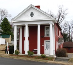
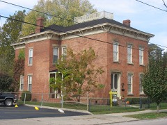
Kinney, Aaron, House0.4 miles1973
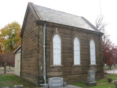
Greenlawn Cemetery Chapel0.5 miles1980
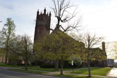
Second Presbyterian Church0.5 miles1996
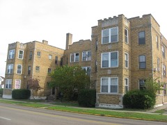
Streich Apartments0.6 miles1987
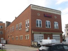
Portsmouth Fire Department No. 10.6 miles1987
Steindam House0.6 miles1987

Sources for this property

National Archives recordThe nomination case file for reference 100004233 in Record Group 79.
Scioto CountyAll 36 listed properties in this county.

Provenance

  • Listing record. National Park Service National Register of Historic Places, listed-properties dataset, current to 2026-05-22.
  • Map join. Address geocoded through the United States Census geocoder, then tested against the published boundary of every sheet in the USGS Historical Topographic Map Collection.
  • How this page is made. Listing fields come from federal records; map-sheet coverage is a labelled coordinate-to-boundary calculation, not a source-field claim.
  • Wildfire. Short, Karen C. 2022. Spatial wildfire occurrence data for the United States, 1992-2020 [FPA_FOD_20221014]. 6th Edition. Fort Collins, CO: Forest Service Research Data Archive. https://doi.org/10.2737/RDS-2013-0009.6 Collected with United States Government funding and usable without additional permissions or fees.
  • Specimens. Global Biodiversity Information Facility (GBIF), https://www.gbif.org/. Only records licensed CC0 or CC BY are used. Records licensed CC BY-NC are excluded because this site carries advertising. Images are checked individually and any whose licence is non-commercial, no-derivatives or unreadable is refused.
  • Mines and quarries. USGS Mineral Resources Data System (MRDS) https://mrdata.usgs.gov/mrds/ A work of the United States government, no copyright under 17 U.S.C. 105.
  • Storms. NOAA National Centers for Environmental Information, Storm Events Database https://www.ncei.noaa.gov/stormevents/ A work of the United States government, no copyright under 17 U.S.C. 105. Narratives are quoted verbatim from the National Weather Service report and are not edited or summarised.