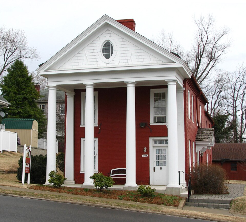
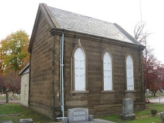
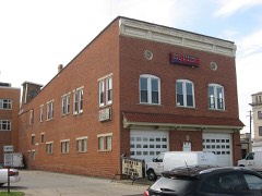
Listed on the National Register of Historic Places in
1973. A historic map-sheet match is not published yet. The record needs a coordinate-quality review before it can be joined to a sheet boundary.
From the record
“Iron and Coal. - Upon these deposits, in their abundance and their superior quality, we might rest our claims to your action, had we no other, as the facility they give for the manufacture of iron over anywhere else in the country, insure us heavy exports by means of our routes to the seaboards, bringing back imports to a like extent. Within an average of less than thirty miles of Portsmouth, and mainly dependent upon it for trade, are fiftyseven furnaces, each manufacturing 2,500 tons annually - an aggregate of 142,500 tons of the best pig iron, known as the Hanging Rock, of which the iron and steel was made, which, in the late war, covered our Mississippi gun- boats, and protected them from Forts Henry and Douelson's Confederate balls.”
An Accurate and Concise Sketch of Portsmouth, Ohio (1876). Machine-read text.
one of 36 National Register listings in Scioto County · listed in 1973 · category: Building.
National Register reference number.73001533- the number the National Park Service assigned this property when it was listed, and the key its nomination file is catalogued under at the National Archives.
Portsmouth is situated on the Ohio river, 116 miles above Cincinnati, at the mouth of the Scioto river, which flows from the centre of this great State through valleys unequalled in fertility, and of such extent as to add largely to our National exports. It is also the southern terminus of the Ohio Canal, thus affording a direct water communication between the South and West, and North and East; also of the Hocking Valley Railroad, long since constructed, and the Scioto Valley Road, now being completed from Columbus to this city. It will also necessarily form an important point in the extension of the Chesapeake and Ohio Railroad, now completed from Norfolk, Virginia, to Huntington, West Virginia, on the Ohio river, forty-five miles above this city, in its connection with the Northwest, and its point of divergence to strike the Southern Pacific Railroad. It is also probable that, either by public or private means, the James River and Kanawha Canal will be completed at no distant day,, and Portsmouth will then be the central point of three great water lines to the sea, and, as we shall proceed to show, naturally and artificially, the best entrepot of the trade, of a large and rich district of country, as it now is.
While, as we have said, Portsmouth is one hundred and sixteen miles nearer than Cincinnati to the Atlantic seaports, the navigation of the river from New Orleans to the former is as good as to the latter, in all stages of water, while there is no important point above to which it is not obstructed by low water, or ice. None, in fact, approaching it in business or population, nearer than Wheeling, two hundred and seventy miles above,
Regional context, not property-specific
evidence. The
federal wildfire occurrence database
lists 125 fires within 5 miles of Kinney, Aaron, House between
1997 and 2020, burning about 3,957 acres in total. None started naturally. 23 were recorded as arson.
Distance is straight-line from the map coordinates, so a fire counted
here may appear on a neighbouring settlement's page as well.
Reported cause
Fires
Debris and open burning
58
Missing data/not specified/undetermined
36
Arson/incendiarism
23
Recreation and ceremony
5
Equipment and vehicle use
2
Smoking
1
The most recent of
them, most recent first, with the day each was reported and the service
that recorded it.
Regional context, not property-specific
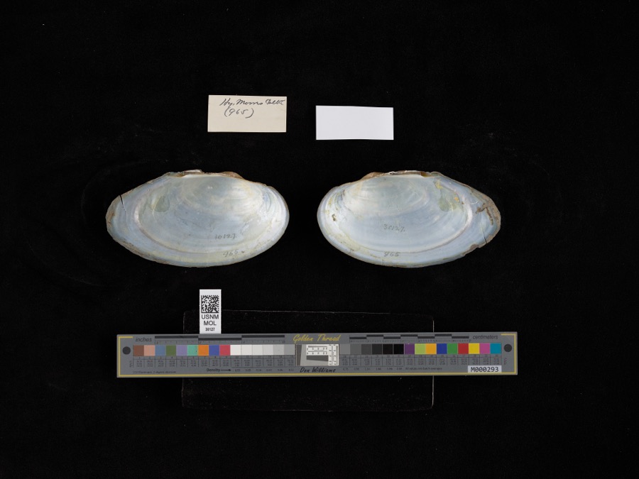
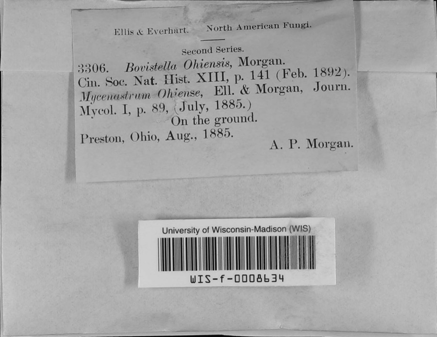
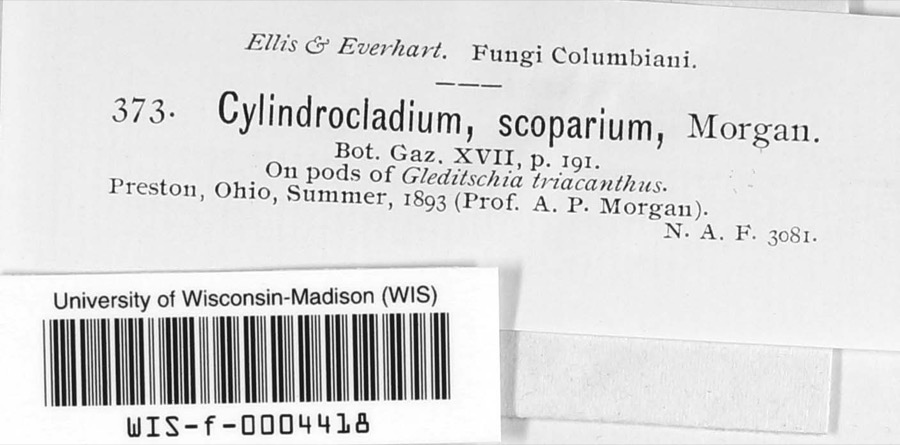
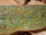
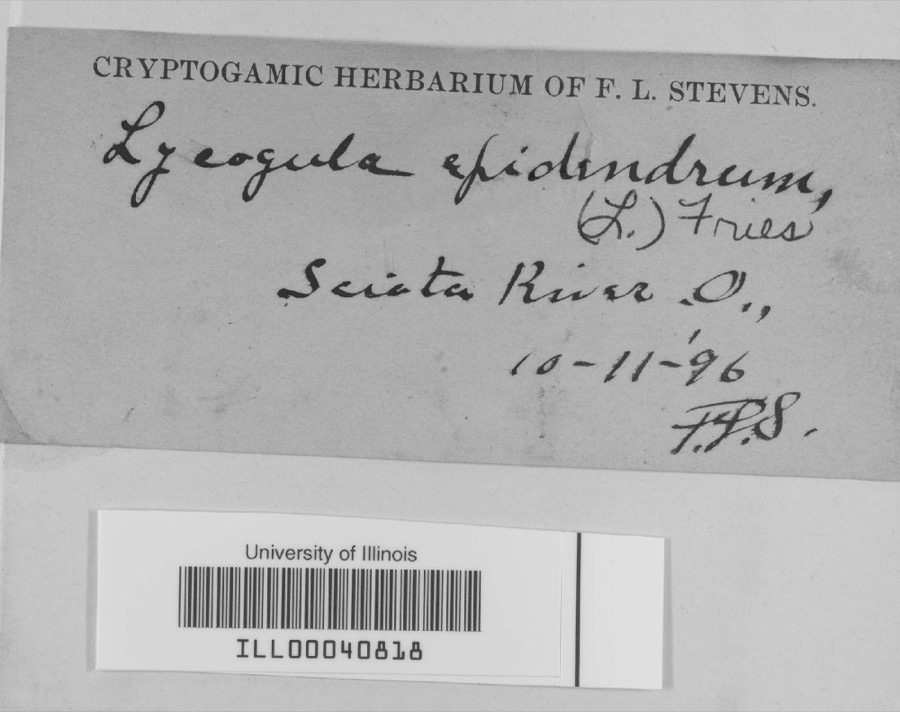
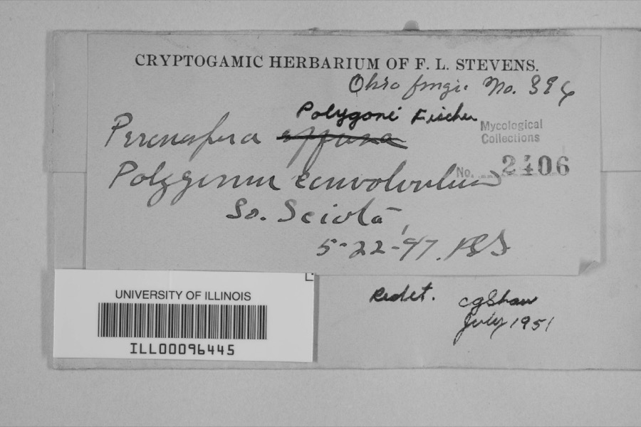
evidence. Museums hold 1,239 specimens
collected within 10 miles of Kinney, Aaron, House between 1884 and
1975: 1,128 Animalia, 69 Plantae, 35 Fungi, 4 Protozoa, 2 Unrecorded, 1 Chromista. 12 distinct Species records are shown.
Collected by ?, A.P. Morgan, A.P. Morgan; L.V. Morgan and others. Each is a
physical object with a catalogue
number, and each entry opens the museum's record. This is what was
collected and kept, not a survey of what lives here - nothing can be
concluded from a species being absent.
Regional context, not property-specific
evidence. The federal mineral resources record lists
5 workings within 5 miles of Kinney, Aaron, House: 3 producers, 1 plant, 1 prospect.
4 still produce. What was taken out: Clay, Sand and Gravel, Construction, Iron, Stone, Crushed/Broken. Distance is straight-line from the
map coordinates, so a quarry counted here may appear on a neighbouring
settlement's page as well.
Regional context, not property-specific
evidence. The National Weather Service names
Portsmouth, the town this property stands in, in 98 storm reports between 1995 and 2024: 44 thunderstorm wind, 27 hail, 14 flash flood, 12 flood.
No death or injury is recorded in these reports. Each account below is quoted exactly as the forecast office
filed it, from the NOAA Storm Events Database, and each date
opens the federal record of that event.
Numerous roads across the county were flooded and closed. Vehicles in Portsmouth were stranded in high water, and portions of Clay and Vernon Townships were also significantly affected by the flooding. A retaining wall collapsed next to a home in Rosemount.
1 paper published in this town,
digitised by the Library of Congress and free to read: 0 issues,
0 pages. Every page is searchable, so a name or a street can be
looked for directly in what the town printed about itself at the time.
No historic map-sheet match is published
for this property yet. That does not mean no map exists. This record needs
a coordinate-quality review before it can be joined to a sheet boundary.
Browse the county's mapped places while that work is
pending.
From the nomination file
1,751 words on record
When this property was proposed for the
National Register, someone wrote the case for it: what the building is,
and why it matters. That document is a federal record in the public domain.
It is quoted below word for word, never summarised. The text was read off the scanned case file by machine, so the
occasional stray character is the recogniser's and the 1970s
typewriter's.
Description of the property
The House of 1810 as originally constructed was a simple, rectangular, addition was made at the rear of the house, to which addition another by four simple columns and at the rear by two engaged pilasters, was of grandeur to what had been a simple, Federal-style building. The the side, now marked by an ornately bracketed hood to the present The interior of the house is in poorer condition than the exterior, but are located in every major room and are served by three chimneys, two in the interior has been undertaken by the present owner, but there are plans The house is located on a city lot measuring 81by 142 feet. JUN 1 5 1973 CONDITION Moved REGISTER NATIONAL Ruins for same.
wood interior trim is simple and occasionally crude.No restoration of diagonally laid brick frieze.The basic structure is sound. above mentioned additions by the family in the last century.The major exception is the roof to which modern asphalt shingles were applied by small brick dependency was attached.A portico, supported at the front the original portion,one in the rear addition) and chair rails.The The house rests on a brick and cut stone foundation.The cellar is the present owner in 1966. in spite of its condition is largely original including mantels The exterior is largely original as it was finally completed with the porticoed front.The original front door is now at the new front entrance.
partial.Exterior brick walls are 14"thick and are ornamented bya (Check One) of residence, and that of his family subsequently, a two-story major - Unexposed also an addition, reputedly ca. 1840. The portico lends an appearance addition of the portico caused the owner to move the front entrance from two-story residence.During the original owner's nearly half century Good
Statement of significance
Aaron Kinney was born at Sunbury, Pennsylvania in 1773. He migrated to Portsmouth, Ohio, one of the state's earliest Ohio River towns, in 1804. Here he built a log cabin and engaged in the sale of hides, a business first tannery and, with members of his family, became the township's Kinney built his permanent home, the subject of this application, in 1810. brief, statewide fame as the subject of a state appropriation for its restoration, an appropriation vetoed by then Governor Michael V. DiSalle. JUN 1 5 1973 1810 history Commerce Conservation Architecture Science losophy Engineering REGISTER Military Aboriginal Music Literature Communications Prehistoric Religion/Phi new roof.
NATIONAL Agriculture Landscape Education reputation of parsimoniousness.He served as township overseerer of the Social/Human- early history. Invention itarian Theater Sculpture hundred dollars in public welfare payments he was forced to make each The Kinney House is reputedly the oldest dwelling still standing in Political Portsmouth and as such is an important symbol of that community's Township land in two tracts surrounding the town of Portsmouth on two sides. 1960 when it was acquired by the Scioto County Historical Society for Presumably he made the additions to the house as he prospered.
The house was owned continuously by membersof the Kinney family until Since that time its owner has raised privately several thousand dollars year.He was viewer of the first township road built in 1813 Symbol of local Kinney was a Democrat and supporter of Andrew Jackson.He died in his Industry home in 1857. AREAS OF SIGNIFICANCE (Check One or More as Appropriate) which soon prospered.
Quoted from the National Register nomination
for reference 73001533, 11 pages, held by the National Archives in Record
Group 79. See the
catalogue record.
Listed places nearby
6 within 8 miles
Other National Register properties close
enough to walk or drive between, ordered by distance from this one. Both
positions come from the same geocoding pass that matched these properties
to their map sheets.
Listing record. National Park Service National Register of Historic Places, listed-properties dataset, current to 2026-05-22.
Map join. Address geocoded through the United States Census geocoder, then tested against the published boundary of every sheet in the USGS Historical Topographic Map Collection.
How this page is made. Listing fields come from federal records; map-sheet coverage is a labelled coordinate-to-boundary calculation, not a source-field claim.
Wildfire. Short, Karen C. 2022. Spatial wildfire occurrence data for the United States, 1992-2020 [FPA_FOD_20221014]. 6th Edition. Fort Collins, CO: Forest Service Research Data Archive. https://doi.org/10.2737/RDS-2013-0009.6 Collected with United States Government funding and usable without additional permissions or fees.
Specimens. Global Biodiversity Information Facility (GBIF), https://www.gbif.org/. Only records licensed CC0 or CC BY are used. Records licensed CC BY-NC are excluded because this site carries advertising. Images are checked individually and any whose licence is non-commercial, no-derivatives or unreadable is refused.
Mines and quarries. USGS Mineral Resources Data System (MRDS) https://mrdata.usgs.gov/mrds/ A work of the United States government, no copyright under 17 U.S.C. 105.
Storms. NOAA National Centers for Environmental Information, Storm Events Database https://www.ncei.noaa.gov/stormevents/ A work of the United States government, no copyright under 17 U.S.C. 105. Narratives are quoted verbatim from the National Weather Service report and are not edited or summarised.
 Block
Block