 Block
BlockFrom the record
one of 75 National Register listings in Lake County · listed in 2020 · category: Building · one of 2 National Historic Landmarks in Lake County.
Sources: the National Register database, National Park Service

Listed on the National Register of Historic Places in 2020. A historic map-sheet match is not published yet. The record needs a coordinate-quality review before it can be joined to a sheet boundary.
one of 75 National Register listings in Lake County · listed in 2020 · category: Building · one of 2 National Historic Landmarks in Lake County.
Sources: the National Register database, National Park Service
Regional context, not property-specific evidence. The federal wildfire occurrence database lists 1 fire within 5 miles of Lake County National Bank Building between 2002 and 2002, burning about 0 acres in total. None started naturally. 1 was recorded as arson. Distance is straight-line from the map coordinates, so a fire counted here may appear on a neighbouring settlement's page as well.
| Reported cause | Fires |
|---|---|
| Arson/incendiarism | 1 |
The most recent of them, most recent first, with the day each was reported and the service that recorded it.
| Date | Cause | Size | Reported by | Name on the report |
|---|---|---|---|---|
| 11 June 2002 | Arson/incendiarism | under an acre | Ohio State Fire Marshal's Office | not named |
Regional context, not property-specific evidence. Museums hold 1,323 specimens collected within 10 miles of Lake County National Bank Building between 1864 and 1975: 1,062 Animalia, 142 Plantae, 100 Fungi, 10 Chromista, 6 Protozoa, 3 Unrecorded. 12 distinct Species records are shown. Collected by A. Doolittle, A. F. Clewell, A. Woolman and others. Each is a physical object with a catalogue number, and each entry opens the museum's record. This is what was collected and kept, not a survey of what lives here - nothing can be concluded from a species being absent.
| Image | Species | Year | Collected by | Where, as recorded |
|---|---|---|---|---|
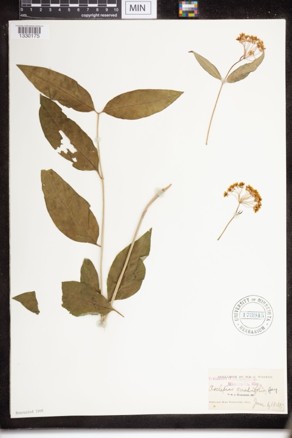 | Asclepias quadrifolia Jacq. | 1885 | Werner, WM.C. | near Painesville |
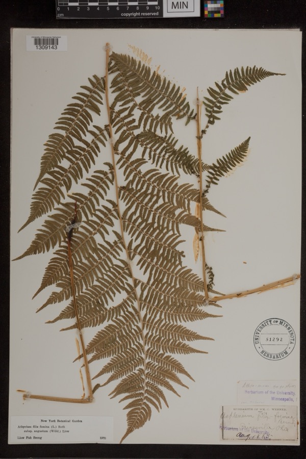 | Athyrium filix-femina subsp. angustum (Willd.) R.T.Clausen | 1885 | Werner, Wm. C. | Painesville |
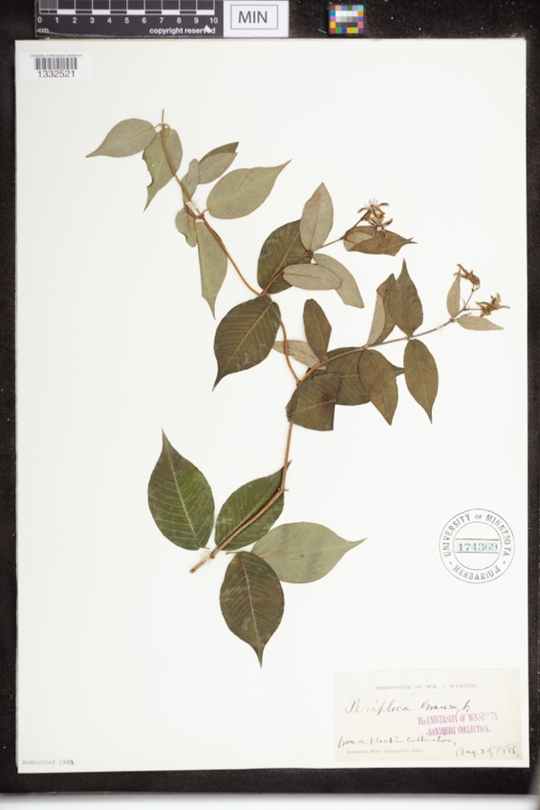 | Periploca graeca L. | 1886 | Werner, WM.C. | Near Painesville |
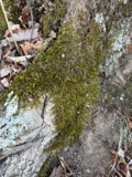 | Leucodon brachypus Brid. | 1864 | E. J. Ferris | |
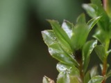 | Mnium spinulosum Bruch & Schimp. | 1864 | E. J. Ferris | Painesville |
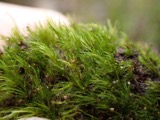 | Dicranella heteromalla (Hedw.) Schimp. | 1871 | H. C. Beardslee, Sr. | |
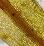 | Didymodon tophaceus (Brid.) Lisa | 1871 | H. C. Beardslee, Sr. | |
 | Discelium nudum (Dicks.) Brid. | 1871 | H. C. Beardslee, Sr. | |
 | Drepanocladus polycarpos (Blandow ex Voit) Warnst. | 1871 | H. C. Beardslee, Sr. | |
| Eurhynchium pulchellum (Hedw.) Jenn. | 1871 | H. C. Beardslee, Sr. | ||
 | Fontinalis sphagnifolia (Müll.Hal.) Wijk & Margad. | 1871 | H. C. Beardslee, Sr. | |
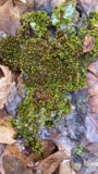 | Orthotrichum stellatum Brid. | 1871 | H. C. Beardslee, Sr. |
All 1,323 specimens within 10 miles, at the Global Biodiversity Information Facility.
Regional context, not property-specific evidence. The federal mineral resources record lists 6 workings within 5 miles of Lake County National Bank Building: 4 producers, 2 past producers. 4 still produce. What was taken out: Sand and Gravel, Construction, Halite, Salt, Calcium. Distance is straight-line from the map coordinates, so a quarry counted here may appear on a neighbouring settlement's page as well.
| Where | Site | Commodity | Status | Recorded |
|---|---|---|---|---|
| Morton Salt Co | Halite | Past Producer | Halite | |
| Morton Salt Fairport Mine | Salt | Producer | ||
| Republic Steel Lime Plant | Calcium | Producer | ||
| Mentor Sand and Supply Pit | Sand and Gravel, Construction | Producer | ||
| Painesville Pit | Sand and Gravel, Construction | Past Producer | Sedimentary | |
| Sidley's Painesville Pit | Sand and Gravel, Construction | Producer |
Regional context, not property-specific evidence. The National Weather Service names Painesville, the town this property stands in, in 41 storm reports between 1996 and 2023: 25 thunderstorm wind, 11 hail, 2 flash flood, 2 flood. No death or injury is recorded in these reports. Each account below is quoted exactly as the forecast office filed it, from the NOAA Storm Events Database, and each date opens the federal record of that event.
| When | Event | Place named | Harm | What the report says |
|---|---|---|---|---|
| July 2003 | Thunderstorm Wind | Painesville | $300,000 | A thunderstorm downburst downed dozens of trees and damaged several homes. The damage path began near Liberty Street in Painesville and continued east along Prouty Road to near State Route 44 in Concord. A mobile home was crushed by a fallen tree in Concord. |
| July 1999 | Thunderstorm Wind | Painesville | $150,000 | Many large trees downed in Painesville. One tree pierced the roof of a nursing home with branches ending up less than a foot away from an elderly woman laying in bed. Three classic cars were severely damaged when the garage they were in was destroyed by a fallen tree. A brand new sport utility vehicle was also destroyed by a fallen tree. An additional dozen trees were downed to the east of Painesville in North Perry. |
| June 2011 | Thunderstorm Wind | Painesville | $25,000 | Thunderstorm winds downed several trees. West Jackson Street had to be closed because of fallen trees. |
| July 2023 | Thunderstorm Wind | Painesville | $20,000 | Trees downed onto house on Avery Terrace in Painesville and caused significant damage. |
| September 2016 | Thunderstorm Wind | Painesville | $15,000 | Thunderstorm winds downed trees in Painesville and Concord Township. |
| November 2013 | Thunderstorm Wind | Painesville | $10,000 | Thunderstorm winds downed a few trees in Painesville Township. |
| May 2002 | Hail | Painesville | $10,000 | Dime size hail was reported. |
| August 2001 | Thunderstorm Wind | Painesville | $10,000 | Thunderstorm winds downed a few trees across the county. |
| April 2011 | Thunderstorm Wind | Painesville | $8,000 | Thunderstorm winds downed several large trees. |
| July 2010 | Thunderstorm Wind | Painesville | $6,000 | Thunderstorm winds downed a few large trees. |
| July 2012 | Thunderstorm Wind | Painesville | $5,000 | Thunderstorm winds downed a few trees. |
| May 2005 | Thunderstorm Wind | Painesville | $5,000 | Several trees reported down in Painesville and Fairport. |
| July 2002 | Thunderstorm Wind | Painesville | $5,000 | Thunderstorm winds downed several large limbs southeast of Painesville in Leroy Township. |
| January 2018 | Flood | Painesville | $3,000 | Around noon on January 23rd, local officials reported the jam at the mouth of the river at Lake Erie extending as far south (upstream) as the Route 2 bridge near Painesville. The resulting backwater caused flooding of outbuildings along the river on Richmond Street and Ram Island, and flooded the Fairport Harbor Marina. Some storage equipment was flushed out into the lake. The Coast Guard ice cutter was sent in to remove the jam on the night of the 23rd. |
| May 2014 | Thunderstorm Wind | Painesville | $3,000 | Thunderstorm winds downed several large tree limbs. |
| June 2006 | Thunderstorm Wind | Painesville | $3,000 | Two trees were reported down. |
| May 2004 | Thunderstorm Wind | Painesville | $3,000 | Thunderstorm winds downed two trees. |
| June 2014 | Thunderstorm Wind | Painesville | $2,000 | A trained spotter reported large tree limbs brought down by thunderstorms winds in Painesville. |
| May 2007 | Thunderstorm Wind | Painesville | $2,000 | Several large limbs were reported down. |
| September 2005 | Thunderstorm Wind | Painesville | $2,000 | A few large limbs were reported down. |
| May 2009 | Thunderstorm Wind | Painesville | $1,000 | Thunderstorm winds downed a tree. |
| July 2023 | Thunderstorm Wind | Painesville | - | Tree limbs downed in Painesville. |
| August 2023 | Thunderstorm Wind | Painesville | - | Numerous trees downed in Painesville. |
| May 2022 | Hail | Painesville | - | Penny-size hail two-miles east of Painesville. |
| October 2020 | Flood | Painesville | - | Flooding on North State Street forcing a closure of the road. |
| August 2019 | Thunderstorm Wind | Painesville | - | Several trees were blown down in Painesville. |
| July 2018 | Hail | Painesville | - | Penny sized hail was observed. |
| July 2018 | Thunderstorm Wind | Painesville | - | A 62 mph wind gust was measured by an automated sensor at the Fairport Harbor Lighthouse. |
| July 2018 | Thunderstorm Wind | Painesville | - | Thunderstorm winds downed a tree along Hine Avenue in Painesville. |
| August 2011 | Hail | Painesville | - | Quarter sized hail was observed. |
| July 2008 | Hail | Painesville | - | Penny size hail was observed. |
| July 2008 | Hail | Painesville | - | Penny size hail was reported. |
| May 2007 | Hail | Painesville | - | Nickel size hail was observed. |
| May 2007 | Hail | Painesville | - | Penny size hail was observed. |
| June 2006 | Hail | Painesville | - | Penny size hail was observed. |
| August 2001 | Waterspout | Painesville | - | A waterspout was observed on Lake Erie just offshore from Painesville. No damage was reported. |
| May 1998 | Thunderstorm Wind | Painesville | - | A wind gust was estimated at 60 miles per hour. |
| June 1998 | Flash Flood | Painesville | - | Heavy thunderstorm rain caused flooding of roadways. |
| June 2008 | Hail | Painesville | - | no account filed |
| August 1999 | Hail | Painesville | - | no account filed |
| July 1996 | Flash Flood | Painesville | - | no account filed |
2 papers published in this town, digitised by the Library of Congress and free to read: 0 issues, 0 pages. Every page is searchable, so a name or a street can be looked for directly in what the town printed about itself at the time.
| Newspaper | Published |
|---|---|
| Painesville Journal | 1871 to 1872 |
| Northern Ohio Journal | 1872 to 1896 |
No historic map-sheet match is published for this property yet. That does not mean no map exists. This record needs a coordinate-quality review before it can be joined to a sheet boundary. Browse the county's mapped places while that work is pending.
Other National Register properties close enough to walk or drive between, ordered by distance from this one. Both positions come from the same geocoding pass that matched these properties to their map sheets.
| Photograph | Property | Distance | Listed |
|---|---|---|---|
 | Painesville City Hall | under 500 feet | 1972 |
 | Methodist Episcopal Church of Painesville, The | 0.1 miles | 1998 |
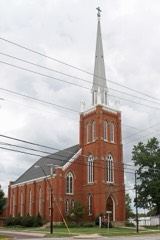 | St. James Episcopal Church | 0.3 miles | 1975 |
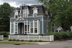 | Smead House | 0.4 miles | 1974 |
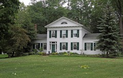 | Mathews House | 0.4 miles | 1973 |
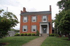 | Morley, Lewis, House | 0.4 miles | 1978 |
| National Archives record | The nomination case file for reference 100005323 in Record Group 79. |
| Lake County | All 75 listed properties in this county. |