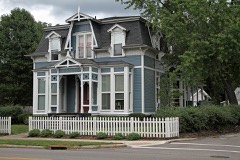
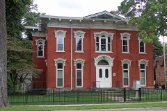
Listed on the National Register of Historic Places in
1973. A historic map-sheet match is not published yet. The record needs a coordinate-quality review before it can be joined to a sheet boundary.
From the record
one of 75 National Register listings in Lake County · listed in 1973 · category: Building · one of 2 National Historic Landmarks in Lake County.
National Register reference number.73001488- the number the National Park Service assigned this property when it was listed, and the key its nomination file is catalogued under at the National Archives.
Fires near this property
1 since 2002
Regional context, not property-specific
evidence. The
federal wildfire occurrence database
lists 1 fire within 5 miles of Mathews House between
2002 and 2002, burning about 0 acres in total. None started naturally. 1 was recorded as arson.
Distance is straight-line from the map coordinates, so a fire counted
here may appear on a neighbouring settlement's page as well.
Reported cause
Fires
Arson/incendiarism
1
The most recent of
them, most recent first, with the day each was reported and the service
that recorded it.
Regional context, not property-specific
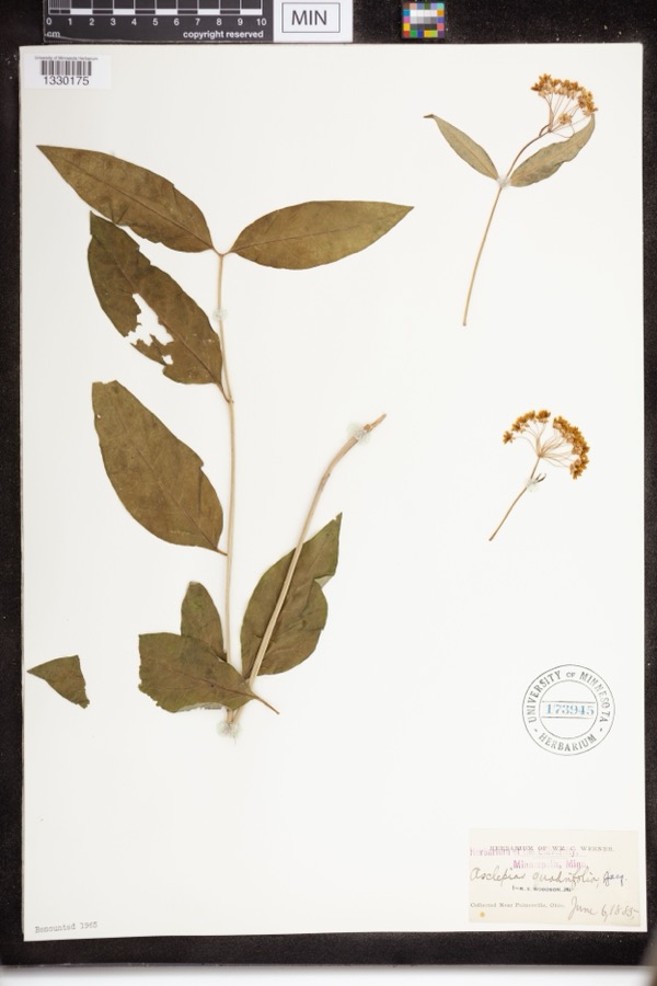
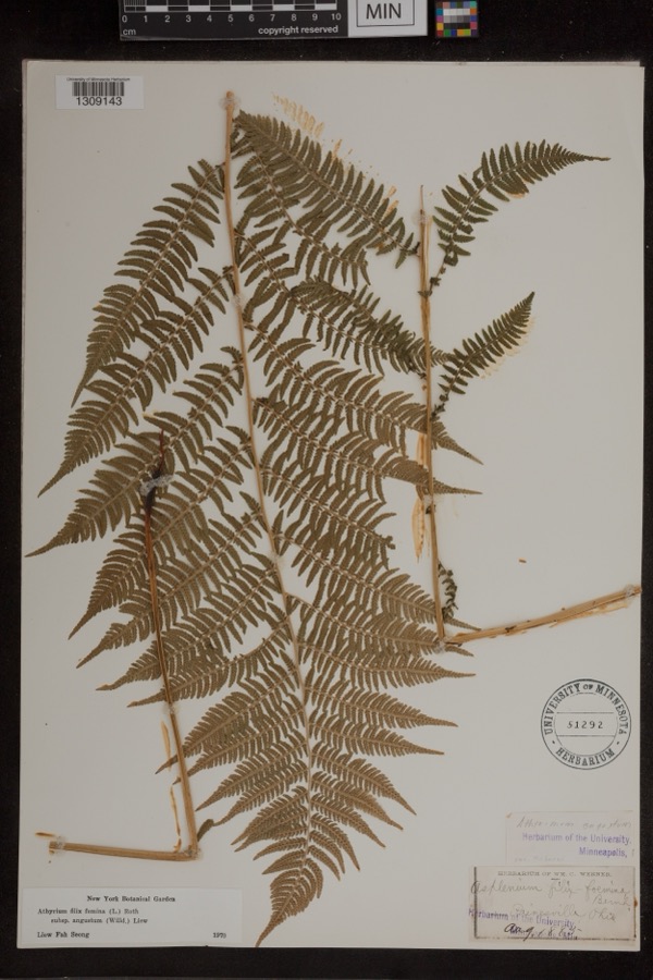
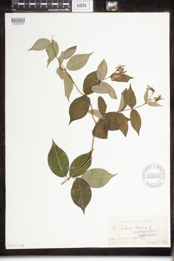
evidence. Museums hold 1,374 specimens
collected within 10 miles of Mathews House between 1864 and
1975: 1,103 Animalia, 152 Plantae, 100 Fungi, 10 Chromista, 6 Protozoa, 3 Unrecorded. 12 distinct Species records are shown.
Collected by A. Doolittle, A. F. Clewell, A. Woolman and others. Each is a
physical object with a catalogue
number, and each entry opens the museum's record. This is what was
collected and kept, not a survey of what lives here - nothing can be
concluded from a species being absent.
Regional context, not property-specific
evidence. The federal mineral resources record lists
6 workings within 5 miles of Mathews House: 4 producers, 2 past producers.
4 still produce. What was taken out: Sand and Gravel, Construction, Halite, Salt, Calcium. Distance is straight-line from the
map coordinates, so a quarry counted here may appear on a neighbouring
settlement's page as well.
Regional context, not property-specific
evidence. The National Weather Service names
Painesville, the town this property stands in, in 41 storm reports between 1996 and 2023: 25 thunderstorm wind, 11 hail, 2 flash flood, 2 flood.
No death or injury is recorded in these reports. Each account below is quoted exactly as the forecast office
filed it, from the NOAA Storm Events Database, and each date
opens the federal record of that event.
A thunderstorm downburst downed dozens of trees and damaged several homes. The damage path began near Liberty Street in Painesville and continued east along Prouty Road to near State Route 44 in Concord. A mobile home was crushed by a fallen tree in Concord.
Many large trees downed in Painesville. One tree pierced the roof of a nursing home with branches ending up less than a foot away from an elderly woman laying in bed. Three classic cars were severely damaged when the garage they were in was destroyed by a fallen tree. A brand new sport utility vehicle was also destroyed by a fallen tree. An additional dozen trees were downed to the east of Painesville in North Perry.
Around noon on January 23rd, local officials reported the jam at the mouth of the river at Lake Erie extending as far south (upstream) as the Route 2 bridge near Painesville. The resulting backwater caused flooding of outbuildings along the river on Richmond Street and Ram Island, and flooded the Fairport Harbor Marina. Some storage equipment was flushed out into the lake. The Coast Guard ice cutter was sent in to remove the jam on the night of the 23rd.
2 papers published in this town,
digitised by the Library of Congress and free to read: 0 issues,
0 pages. Every page is searchable, so a name or a street can be
looked for directly in what the town printed about itself at the time.
No historic map-sheet match is published
for this property yet. That does not mean no map exists. This record needs
a coordinate-quality review before it can be joined to a sheet boundary.
Browse the county's mapped places while that work is
pending.
From the nomination file
1,536 words on record
When this property was proposed for the
National Register, someone wrote the case for it: what the building is,
and why it matters. That document is a federal record in the public domain.
It is quoted below word for word, never summarised. The text was read off the scanned case file by machine, so the
occasional stray character is the recogniser's and the 1970s
typewriter's.
Description of the property
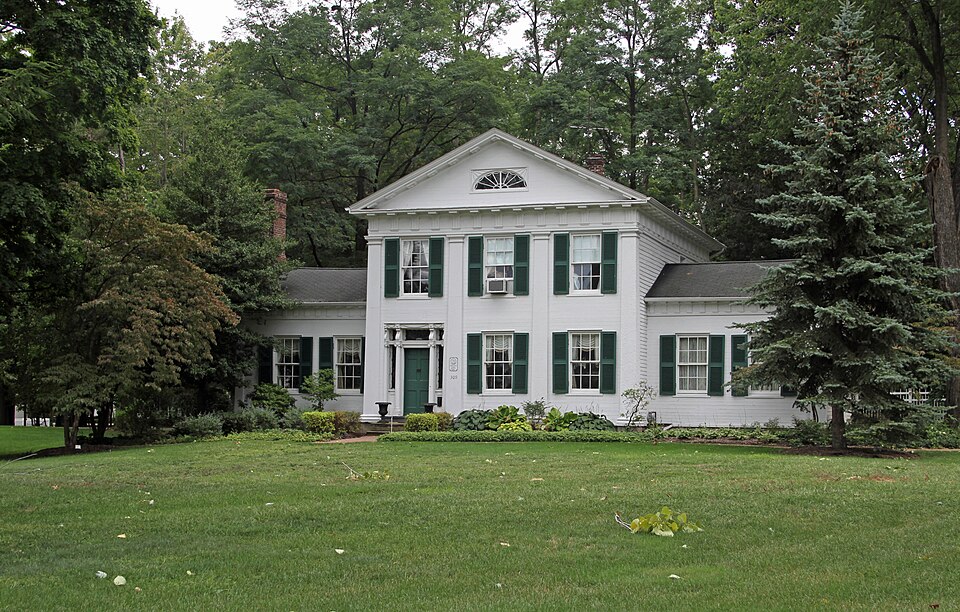
1s flanked to either side by one-story wings, yielding a cruciform plan. doorway, located on the left side of the facade is unusual to the point between which hang swags of carved drapery" (Frary, PP. 33,35). This central block into three bays, punctuated by five shuttered windows; block. The interior detailing reflects Federal, almost Adamesque, preservation - NOV 20 1972 CONDITION NATIONAL Ruins REGISTER turned balusters.
the kitchen facilities.This addition resulted in the removal of the fireplace and chimney originally adjoining the south side of the main corbels carved with acanthus leaves.Above these are square rosettes Lake County is the Greek Revival style treated with more imagination and Horizontal tongue and groove siding on the facade gives the impression with Ionic capitals, and the transom is divided into three sections by main block.A wing to the rear is a convenience addition and contains Interior: The central block has a large room downstairs and an entasis--- they widen drastically from capitals to their bases.
Exterior:The Mathews House is among the most celebrated buildings the pilasters carry a shallow architrave and an entablature of carved Talbot Hamlin calls the structure the entry scrollwork decorates the side panels of the stairway with its lathe- (Check One) Fair X Moved doorway is flanked by Roman Doric pilasters, four of which divide the fireplaces display perfectly proportioned Ionic orders. Organic attributed to the architect-builder Jonathan Goldsmith. Nowhere in and along the facades of the flanking wings. The tryglyphs are reflected of stone so strived for by Greek Revival designers. Clapboard siding is lightness. At the entry doorway the door and sidelight framing is fluted throughout the house in moldings, pilasters and wainscots. The remaining finesse.
accompanying hall and stairway.The flanking wings contain living of curiousity.
This structure was built for Dr. John Henry Mathews, the first The architect, Jonathan Goldsmith, "was born in New Haven, (Connecticut), a shoemaker and carpenter, but later developed into a building NOV 20 1972 Commerce Conservation Communications SIGNIFICANCE Architecture Transportation Aboriginal NATIONAL Science Theater Music REGISTER Landscape Agriculture losophy Prehistoric Pre-Columbian Political Social/Human- Sculpture itarian Industry Invention Goldsmith's work in Lake County. new home designed and built by Goldsmith. Most of the interior wood carving was probably carried out personally by Goldsmith.
Religion/Phi Martha Devotion Huntington, the daughter of one of Ohio's early RECEIVED Engineering physician to settle in Geauga County --- the county from which Lake County was largely formed at a later date. designer of great skill and a draftsman ofno mean achievements" SPECIFIC DATE(S) (If Applicable and Known) AREAS OF SIGNIFICANCE (Check One or More as Appropriate) in 1793 and came to Painesville, (Ohio), in 1811. He was originally (Hamlin, PP. 282-3).
It is probably quite accurate to say that This building is considered by many to be the best example of Art the l9th century.After spending time in the army during the War family) was attended by Dr.Mathews.In 18l3 Mathews married Goldsmith was the most gifted architect to work in Lake County in of 1812,Goldsmith returned to Painesville where he a member of his
Quoted from the National Register nomination
for reference 73001488, 10 pages, held by the National Archives in Record
Group 79. See the
catalogue record.
Listed places nearby
6 within 8 miles
Other National Register properties close
enough to walk or drive between, ordered by distance from this one. Both
positions come from the same geocoding pass that matched these properties
to their map sheets.
Listing record. National Park Service National Register of Historic Places, listed-properties dataset, current to 2026-05-22.
Map join. Address geocoded through the United States Census geocoder, then tested against the published boundary of every sheet in the USGS Historical Topographic Map Collection.
How this page is made. Listing fields come from federal records; map-sheet coverage is a labelled coordinate-to-boundary calculation, not a source-field claim.
Wildfire. Short, Karen C. 2022. Spatial wildfire occurrence data for the United States, 1992-2020 [FPA_FOD_20221014]. 6th Edition. Fort Collins, CO: Forest Service Research Data Archive. https://doi.org/10.2737/RDS-2013-0009.6 Collected with United States Government funding and usable without additional permissions or fees.
Specimens. Global Biodiversity Information Facility (GBIF), https://www.gbif.org/. Only records licensed CC0 or CC BY are used. Records licensed CC BY-NC are excluded because this site carries advertising. Images are checked individually and any whose licence is non-commercial, no-derivatives or unreadable is refused.
Mines and quarries. USGS Mineral Resources Data System (MRDS) https://mrdata.usgs.gov/mrds/ A work of the United States government, no copyright under 17 U.S.C. 105.
Storms. NOAA National Centers for Environmental Information, Storm Events Database https://www.ncei.noaa.gov/stormevents/ A work of the United States government, no copyright under 17 U.S.C. 105. Narratives are quoted verbatim from the National Weather Service report and are not edited or summarised.
 Block
Block