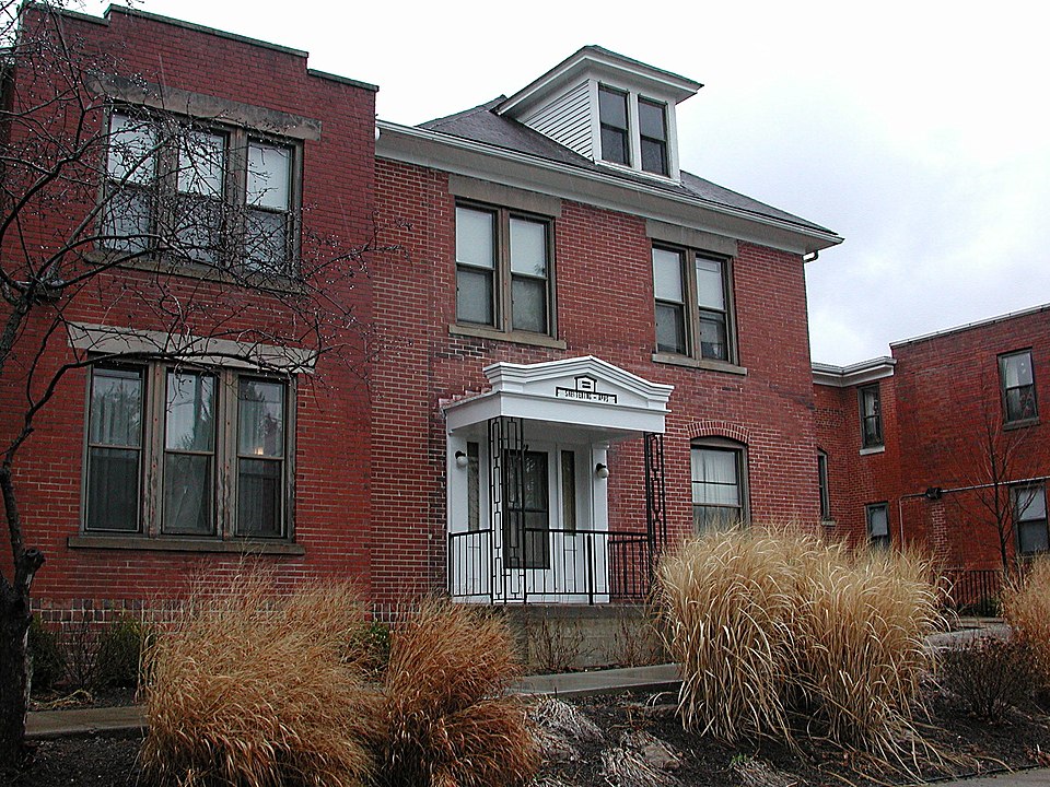
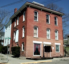
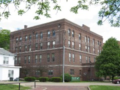
Built in 1911. Listed on the National Register of Historic Places in
1982. A historic map-sheet match is not published yet. The record needs a coordinate-quality review before it can be joined to a sheet boundary.
From the record
“The Sheltering Arms Hospital, located in Athens, Ohio, started as a two-room home-based maternity ward in 1921 and grew into a medical and surgical facility as the original facility was expanded. In operation at 19 Clarke Street from 1921 until 1970, Sheltering Arms moved into a new facility in 1970 named the Charles G.”
Wikipedia article Sheltering Arms Hospital (Athens, Ohio), CC BY-SA 4.0.
one of 19 National Register listings in Athens County · listed in 1982 · category: Building · built in 1911 · one of 1 National Historic Landmarks in Athens County.
National Register reference number.82003542- the number the National Park Service assigned this property when it was listed, and the key its nomination file is catalogued under at the National Archives.
What happened here
An account from the chapter on Athens township, The inset identifies its exact
source book and publication year.
fired at and wounded the old bear, and then, wishing to see his dog kill one of the cubs, laid down his gun and. hissed his dog on to attack the cub - the old bear and other cub beating a retreat. Boyles, becoming interested in the fight between his dog and the cub, had approached near them, when he was disagreeably startled by seeing the old bear return, brought by the cries of the cub, and place herself between him and his gun.
Athens county - a county which, one of the earliest organized in Ohio, contains, perhaps, a greater number of surviving pioneers than any other in the state except Washington. The desire, on the part of these pioneers, to see preserved in a somewhat connected form the annals of the first settlement of the county and of their own labors and struggles in founding society here, is not an unnatural one. '^Near is thy forgetfulness of all things," said Marcus Aurelius, in one of his aphorisms, ^' and near the forgetfulness of thee by all." With something of this feeling,^ it is, perhaps, that the old always dwell with such keen pleasure on the events and associations of their early life. Conscious of approaching change and of waning strength, they love period when the eye was bright, the brain active, and the step elastic. There is, also, a feeling among men that the record of a well-spent and useful life, even if humble, deserves to be remembered. They derive a pardonable pleasure from the thought that posterity will not wholly ignore nor forget them.
It is in recognition of this feeling that these pages have been written. To preserve some account of the lives and labors of the early settlers, who bore so honorable a part in converting a wilderness into a great commonwealth, and to rescue from total oblivion some matters that seem worthy of being narrated, is the modest object of this sketch concerning the history of Athens county.
Regional context, not property-specific
evidence. The
federal wildfire occurrence database
lists 27 fires within 5 miles of Sheltering Arms Hospital between
2006 and 2020, burning about 36 acres in total. 1 started naturally. None was recorded as arson.
Distance is straight-line from the map coordinates, so a fire counted
here may appear on a neighbouring settlement's page as well.
Reported cause
Fires
Missing data/not specified/undetermined
11
Debris and open burning
10
Power generation/transmission/distribution
2
Equipment and vehicle use
2
Natural
1
Recreation and ceremony
1
The most recent of
them, most recent first, with the day each was reported and the service
that recorded it.
Regional context, not property-specific
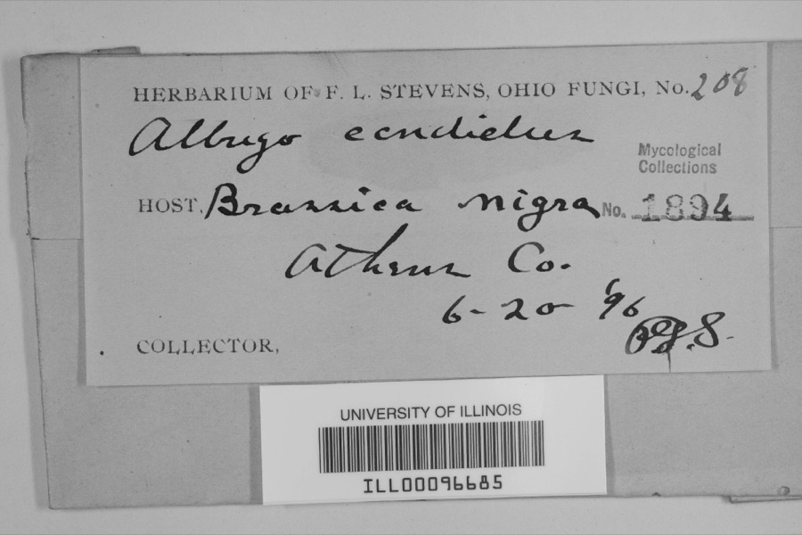
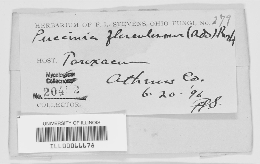
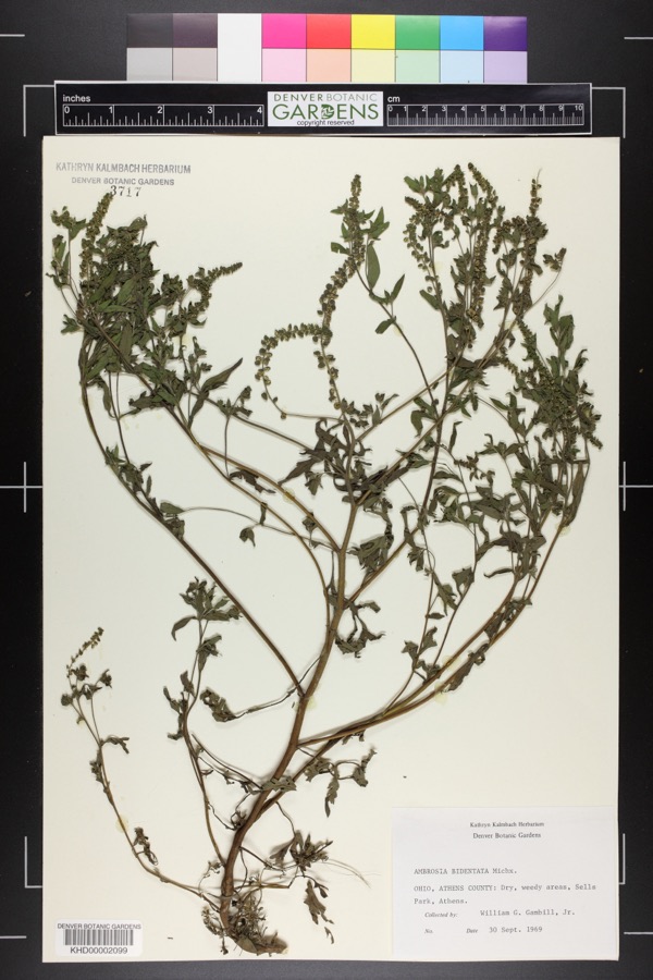
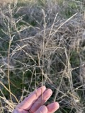
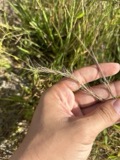
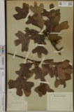
evidence. Museums hold 1,297 specimens
collected within 10 miles of Sheltering Arms Hospital between 1896 and
1975: 1,086 Animalia, 154 Plantae, 47 Fungi, 4 Unrecorded, 4 Protozoa, 1 Chromista, 1 Bacteria. 12 distinct Species records are shown.
Collected by A. D. Selby, A. H. Blickle, Auburn E. Brower and others. Each is a
physical object with a catalogue
number, and each entry opens the museum's record. This is what was
collected and kept, not a survey of what lives here - nothing can be
concluded from a species being absent.
Regional context, not property-specific
evidence. The National Weather Service names
Athens, the town this property stands in, in 71 storm reports between 1994 and 2025: 41 thunderstorm wind, 21 hail, 3 flash flood, 2 lightning.
The reports record 8 injuries. Each account below is quoted exactly as the forecast office
filed it, from the NOAA Storm Events Database, and each date
opens the federal record of that event.
Thunderstorm wind gusts of 40 to 50 mph caused tree damage and collapsed a county fair tent. The tent collapsed during the swine judging, with as many as 400 people inside. Many of those caught in the tent, appeared stunned, but calm. Eight people received minor injuries. No animals were hurt. One witness said., " It was the best example I've seen of everyone working together." The nearby anemometer at the Scalia Lab on the Ohio University campus reported a wind gust of 41 mph. In a related incident, an indirect death occurred while a 74 old man lost control of his tractor and it overturned. He was trying to take shelter from the midday storm. He was 60 feet from his residence on Hooper Ridge Road, near Amesville.
Numerous large trees and branches were blown down in the city. The Emergency Management Agency reported 2 houses were severely damaged by fallen trees. Trees also fell across roads, sidewalks, driveways, and yards. Electrical power was lost.
An EF1 tornado with maximum winds up to 100 mph touched down near Angel Ridge Road in Athens County. The tornado tracked east-northeast crossing Gura Road, Long Run Road, and North Coolville Ridge Road before lifting just past Kincade Road. Damage was limited to snapped and uprooted trees and some snapped power poles along the path, with the worst damage occurring in a 300 yard wide swath along Long Run Road. This is the seventh documented tornado in Athens County and the first since 2018.
Numerous trees were downed throughout the city of Athens. The Athens County airport reported a wind gust of 58 miles per hour around the time these trees were downed.
The Hocking River at Athens rose out of its 20 foot flood stage late in the afternoon on February 19th. The river remained above its flood stage for only a brief period of time and was back in its banks that evening. Low lying areas around the river and the nearby campground observed minor flooding between Athens and Coolville while the Hocking River was out of its banks.
The Hocking River at Athens exceeded its flood stage of 20 feet early in the morning of April 5th, then continued to rise to a crest of around 20.8 feet the next morning. The river slowly fell back below flood stage early in the morning on the 7th. Low areas, the campground, and private camps along the river between Athens and Coolville began to flood during the time the river was out of its banks. Low sections of Harmony Road and baseball fields in Nelsonville also flooded.
Flooding was observed on Strouds Road, State Route 690, and State Route 550 between State Routes 690 and 329. A van was stranded in flood water at Sand Rock Road in Amesville. Another vehicle became stranded on State Route 690.
No historic map-sheet match is published
for this property yet. That does not mean no map exists. This record needs
a coordinate-quality review before it can be joined to a sheet boundary.
Browse the county's mapped places while that work is
pending.
From the nomination file
4,353 words on record
When this property was proposed for the
National Register, someone wrote the case for it: what the building is,
and why it matters. That document is a federal record in the public domain.
It is quoted below word for word, never summarised. The text was read off the scanned case file by machine, so the
occasional stray character is the recogniser's and the 1970s
typewriter's.
Description of the property
The third construction f) was high with hip roof and full basement. The exterior walls were of masonry, the interior Since then, only the building at 19 Clark St. has been occupied. It was the residence of the Breinigs while they lived there; then the nurses' residence and after the hospital further damage has been done by roof leakage. It is now to be completely rebuilt into time, there was an almost solid hospital building covering lots 2082 and 2083. additions, and.
mostly improvements of the existing buildings were completed after that date, deteriorated date addition,#7,is much smaller but far more challenging for the Breinig's.It required reception room was created, on the upper level was the surgery suit.Much of the recep- and orderly, and was probably joined to the residence by an enclosed passage.The front wood floors to concrete.All the additions had solid masonry exterior walls and built- 1921,and this addition was the original hospital to the new house on Lot 2082 at 19 Clark St.In 1923,the first addition was built. - archeology-historic - conservation x science/medicine _ economics - sculpture .military -music exploration/settlement .
- philosophy X 1900- - industry - politics/government _ transportation - invention -other (specify) Statement of
Statement of significance
(in one paragraph) The Sheltering Arms is a memorable example of the evolution and development of a medical facility that started in a home to become a fully accredited hospital. Athens's Sprague, and continued in operation at the site until 1970, when it moved into new care was administered in the home to the development of Athens as a center for health care in southeastern Ohio, as indicated by the new College of Osteopathic Medicine of very limited care that the visiting physicians could provide, to where specialization, Arms, opened up in areas removed from the metropolitan centers. The initiative was a not involve governmental, military or religious organizations.
The hospital is also of considerable local interest, for almost 50 years the residents of Athens were born and they had to go to Columbus, Marietta or another distant city, a lengthy and inconvenient this time the doctor jokingly remarked that she should add a room to the home and open a hospital. The Breinigs thought it over; Charles Breinig, a building contractor who drew up his own plans, prepared the drawing for a two room addition and presented it to Drs. Sprague and Goldsberry; they both were enthusiastic. Thus, the two room hospital opened The facility, the only hospital within a thirty mile radius, prospered.
1700-1799 1800-1899 1500-1599 commerce 1400-1499 communications 1600-1699 architecture humanitarian engineering education Period theater prehistoric literature patient's homes. law 8. Significance Mrs.Delia Breinig had roomers in her house at 17 Clark St.,and occupying one of those house.The Breinigs built a new house next door. story associated with the hospital.
Quoted from the National Register nomination
for reference 82003542, 31 pages, held by the National Archives in Record
Group 79. See the
catalogue record.
Listed places nearby
6 within 8 miles
Other National Register properties close
enough to walk or drive between, ordered by distance from this one. Both
positions come from the same geocoding pass that matched these properties
to their map sheets.
Listing record. National Park Service National Register of Historic Places, listed-properties dataset, current to 2026-05-22.
Map join. Address geocoded through the United States Census geocoder, then tested against the published boundary of every sheet in the USGS Historical Topographic Map Collection.
How this page is made. Listing fields come from federal records; map-sheet coverage is a labelled coordinate-to-boundary calculation, not a source-field claim.
Wildfire. Short, Karen C. 2022. Spatial wildfire occurrence data for the United States, 1992-2020 [FPA_FOD_20221014]. 6th Edition. Fort Collins, CO: Forest Service Research Data Archive. https://doi.org/10.2737/RDS-2013-0009.6 Collected with United States Government funding and usable without additional permissions or fees.
Specimens. Global Biodiversity Information Facility (GBIF), https://www.gbif.org/. Only records licensed CC0 or CC BY are used. Records licensed CC BY-NC are excluded because this site carries advertising. Images are checked individually and any whose licence is non-commercial, no-derivatives or unreadable is refused.
Storms. NOAA National Centers for Environmental Information, Storm Events Database https://www.ncei.noaa.gov/stormevents/ A work of the United States government, no copyright under 17 U.S.C. 105. Narratives are quoted verbatim from the National Weather Service report and are not edited or summarised.
 Block
Block