 Block
BlockFrom the record
one of 52 National Register listings in Licking County · listed in 2015 · category: Building.
Sources: the National Register database, National Park Service
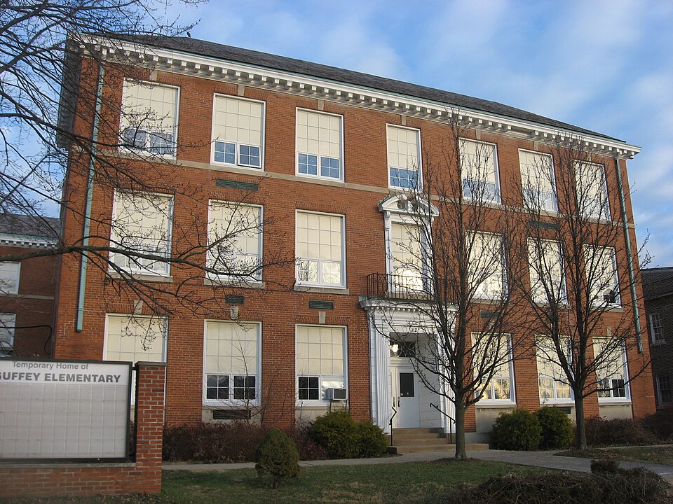
Listed on the National Register of Historic Places in 2015. A historic map-sheet match is not published yet. The record needs a coordinate-quality review before it can be joined to a sheet boundary.
one of 52 National Register listings in Licking County · listed in 2015 · category: Building.
Sources: the National Register database, National Park Service
Regional context, not property-specific evidence. The federal wildfire occurrence database lists 4 fires within 5 miles of Newark High School between 2014 and 2020, burning about 7 acres in total. None started naturally. None was recorded as arson. Distance is straight-line from the map coordinates, so a fire counted here may appear on a neighbouring settlement's page as well.
| Reported cause | Fires |
|---|---|
| Debris and open burning | 4 |
The most recent of them, most recent first, with the day each was reported and the service that recorded it.
| Date | Cause | Size | Reported by | Name on the report |
|---|---|---|---|---|
| 5 April 2015 | Debris and open burning | under an acre | Ohio Department of Natural Resources | 842 |
| 15 March 2014 | Debris and open burning | 2.5 acres | Ohio Department of Natural Resources | not named |
| 17 February 2017 | Debris and open burning | 3.5 acres | Ohio Department of Natural Resources | 6865 |
| 10 November 2020 | Debris and open burning | under an acre | Ohio Department of Natural Resources | 15953 |
Regional context, not property-specific evidence. Museums hold 2,586 specimens collected within 10 miles of Newark High School between 1843 and 1975: 2,262 Animalia, 237 Fungi, 58 Plantae, 26 Protozoa, 3 Chromista. 12 distinct Species records are shown. Collected by A. Gray; W. S. Sullivant, A. P. M., A. P. Morgan and others. Each is a physical object with a catalogue number, and each entry opens the museum's record. This is what was collected and kept, not a survey of what lives here - nothing can be concluded from a species being absent.
| Image | Species | Year | Collected by | Where, as recorded |
|---|---|---|---|---|
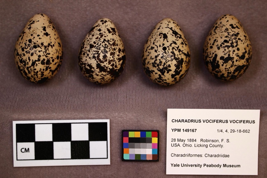 | Charadrius vociferus vociferus Linnaeus, 1758 | 1884 | F. S. Robinson | |
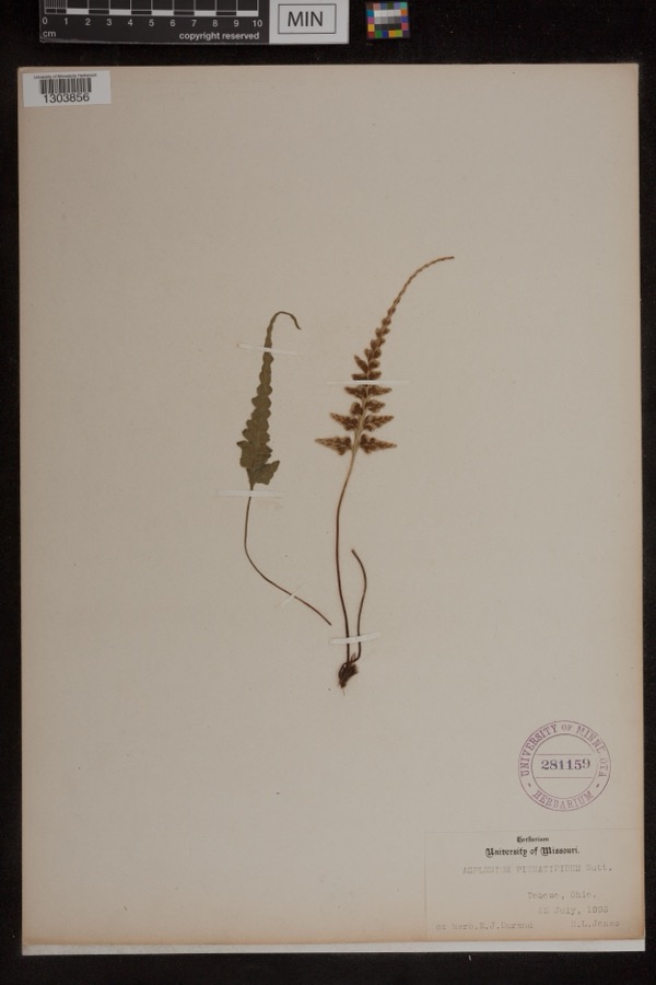 | Asplenium pinnatifidum Nutt. | 1893 | Jones, H.L. | Toboso |
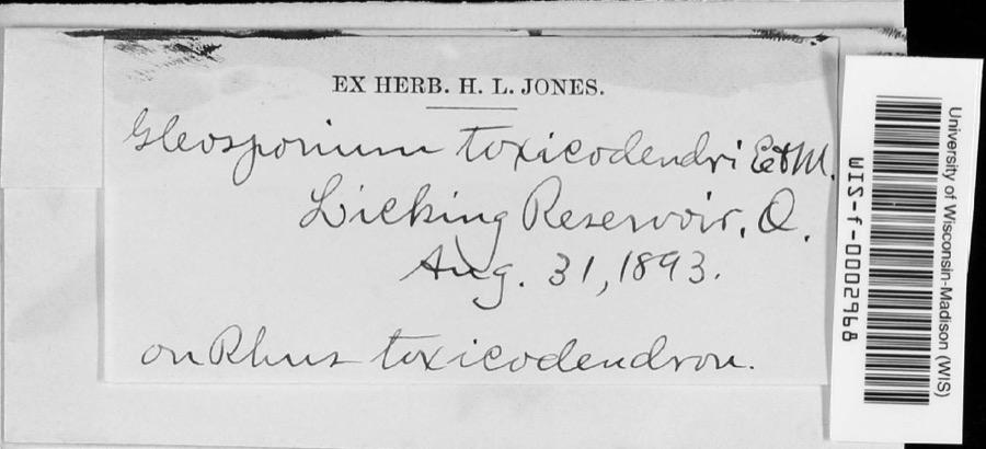 | Cylindrosporium Grev., 1822 | 1893 | unknown | Licking Reservoir |
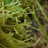 | Helodium paludosum (Austin) Austin ex Broth. | 1843 | Asa Gray; W. S. Sullivant | in Cranberry Marsh, northern Ohio |
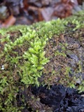 | Hypnum paludosum (Hedw.) P.Beauv. | 1843 | A. Gray; W. S. Sullivant | in Cranberry Marsh, northern Ohio |
 | Bonasa umbellus (Linnaeus, 1766) | 1853 | Mack, D. (Don) | Eden Twp, Licking, Ohio, USA |
 | Philomachus pugnax (Linnaeus, 1758) | 1872 | Jasper, T. (Theodore) | Buckeye Lake, Ohio, USA |
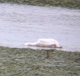 | Pelecanus erythrorhynchos Gmelin, 1789 | 1874 | not recorded | Licking Reservoir, Licking, Ohio, USA |
 | Calidris canutus rufa (A.Wilson, 1813) | 1878 | Savage, E. (Ed) | Buckeye Lake Reservoir, Licking, Ohio, USA |
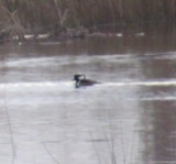 | Lophodytes cucullatus (Linnaeus, 1758) | 1878 | not recorded | Licking Reservoir, Licking, Ohio, USA |
 | Aix sponsa (Linnaeus, 1758) | 1880 | not recorded | Licking Reservoir, Licking, Ohio, USA |
 | Anas americana J.F.Gmelin, 1789 | 1880 | not recorded | Buckeye Lake Reservoir, Licking, Ohio, USA |
All 2,586 specimens within 10 miles, at the Global Biodiversity Information Facility.
Regional context, not property-specific evidence. The federal mineral resources record lists 5 workings within 5 miles of Newark High School: 2 past producers, 2 plants, 1 producer. 3 still produce. What was taken out: Sand and Gravel, Construction. Distance is straight-line from the map coordinates, so a quarry counted here may appear on a neighbouring settlement's page as well.
| Where | Site | Commodity | Status | Recorded |
|---|---|---|---|---|
| Dry Creek Crushed Gravel Co | Sand and Gravel, Construction | Plant | ||
| Dry Creek Pit | Sand and Gravel, Construction | Past Producer | Sedimentary | |
| Dry Creek Pit No 2 | Sand and Gravel, Construction | Producer | ||
| Jones Gravel Pit | Sand and Gravel, Construction | Past Producer | ||
| Newark No. 214 Dredge & Plant | Sand and Gravel, Construction | Plant |
Regional context, not property-specific evidence. The National Weather Service names Newark, the town this property stands in, in 69 storm reports between 1994 and 2026: 39 thunderstorm wind, 21 hail, 5 flood, 2 lightning. The reports record 1 death and 1 injury. Each account below is quoted exactly as the forecast office filed it, from the NOAA Storm Events Database, and each date opens the federal record of that event.
| When | Event | Place named | Harm | What the report says |
|---|---|---|---|---|
| September 1994 | Thunderstorm Wind | Newark | 1 killed, 1 hurt | ,,,,,,,,Lightning Winds of 60 mph were reported in Newark. Large hail fell in Hebron where lightning killed a 46-year-old man as he attempted to untie a dog from under a tree to get it to shelter from the hail storm. A 33-year-old woman at the scene was also struck and injured. The dog was unharmed. |
| March 2020 | Flash Flood | Newark | $50,000 | A sinkhole developed on Spring Street. |
| July 2003 | Thunderstorm Wind | Newark | $50,000 | Numerous trees downed. One tree fell on a home, and two other trees severely damaged two automobiles. |
| November 2020 | Thunderstorm Wind | Newark | $30,000 | A large portion of an old building undergoing renovation collapsed along Union Street. |
| July 1997 | Lightning | Newark | $20,000 | Lightning struck the Modern financing building sparking a fire the caused substantial damage. |
| June 1997 | Lightning | Newark | $20,000 | Lightning struck a house which caused a fire that damaged the shed and a storage room. |
| July 1995 | Thunderstorm Wind | Newark | $15,000 | A roof was blown off a small building. |
| April 2006 | Hail | Newark | $15,000 | no account filed |
| April 2023 | Thunderstorm Wind | Newark | $10,000 | Several trees and powerlines were downed in the Newark area. |
| July 2023 | Thunderstorm Wind | Newark | $10,000 | A few trees and wires were downed. |
| June 2005 | Thunderstorm Wind | Newark | $10,000 | A 30-foot by 30-foot section of a roof was ripped off of a building on the southeast side of town. A construction trailer was turned on its side, and a steel overhang was pulled off of a home, causing minor damage to a wall. |
| August 2000 | Thunderstorm Wind | Newark | $10,000 | Numerous trees downed around Newark. Also, quarter size hail fell at Kirkersville. |
| January 2005 | Thunderstorm Wind | Newark | $8,000 | A roof was torn off of a home. |
| April 2026 | Thunderstorm Wind | Newark | $6,000 | Several trees were downed along Griffith Road. A barn and trailer were also damaged. |
| August 2003 | Thunderstorm Wind | Newark | $6,000 | Trees were downed, including a few that fell on a house and on a vehicle. |
| July 2024 | Thunderstorm Wind | Newark | $5,000 | A tree fell onto a house. |
| November 2017 | Thunderstorm Wind | Newark | $5,000 | A few trees were downed across eastern Licking County. |
| July 2000 | Thunderstorm Wind | Newark | $5,000 | Trees and power lines downed to the northwest of Newark. |
| May 2018 | Thunderstorm Wind | Newark | $4,000 | Numerous trees were downed along with a utility pole in the Newark area. |
| August 2017 | Thunderstorm Wind | Newark | $4,000 | Trees were knocked down in the Granville and Newark areas. |
| May 1999 | Thunderstorm Wind | Newark | $4,000 | Large trees were blown down as well as power lines. |
| July 2022 | Thunderstorm Wind | Newark | $3,000 | A few trees were downed on East Main Street. |
| July 2017 | Thunderstorm Wind | Newark | $3,000 | A few trees were downed in the Newark and Heath areas. |
| May 2008 | Thunderstorm Wind | Newark | $3,000 | Trees were downed. |
| June 2008 | Thunderstorm Wind | Newark | $3,000 | Several trees were knocked down near the intersection of State Route 158 and Arlington Avenue. |
| June 2007 | Thunderstorm Wind | Newark | $3,000 | Trees were knocked down. |
| June 2006 | Thunderstorm Wind | Newark | $3,000 | Several trees and large limbs were downed. |
| July 2006 | Thunderstorm Wind | Newark | $3,000 | Large tree limbs and powerlines were downed. |
| March 2002 | Thunderstorm Wind | Newark | $3,000 | Trees were blown down in town. |
| April 2026 | Thunderstorm Wind | Newark | $1,000 | A tree fell onto a roadway. |
| July 2022 | Thunderstorm Wind | Newark | $1,000 | A tree was downed on Hudson Avenue between Oak and St Clair Streets. |
| May 2015 | Thunderstorm Wind | Newark | $1,000 | A 24 inch diameter tree was blown over. |
| June 2015 | Thunderstorm Wind | Newark | $1,000 | One tree knocked down on Hull Road. |
| July 2013 | Thunderstorm Wind | Newark | $1,000 | One tree was reported down on Milner Road due to thunderstorm winds. |
| September 2010 | Thunderstorm Wind | Newark | $1,000 | Trees were reported down due to damaging thunderstorm winds. |
| October 2010 | Thunderstorm Wind | Newark | $1,000 | Large tree limbs were reported down due to damaging thunderstorm winds. |
| May 2018 | Thunderstorm Wind | Newark | $250 | Numerous large limbs were downed. |
| August 2021 | Thunderstorm Wind | Newark | $100 | A large limb was downed near State Routes 16 and 79. |
| August 2020 | Flood | Newark | - | High water was reported on OH-16 between Church Street and 21st Street. |
| April 2018 | Flood | Newark | - | High water and multiple road closures were reported at several locations throughout Licking County. |
| September 2016 | Flash Flood | Newark | - | A passenger was stuck in a vehicle on Moull Street due to high water. |
| July 2013 | Flood | Newark | - | Some roads were reported to have high water on them due to heavy rainfall. |
| July 2013 | Flood | Newark | - | Street flooding was occurring in the Newark and Heath areas due to heavy rainfall. |
| June 2012 | Thunderstorm Wind | Newark | - | The spotter estimated the magnitude of the wind gust. |
| March 2012 | Flood | Newark | - | High water due to heavy rain was reported across some of the streets in southern Newark. |
| June 2010 | Thunderstorm Wind | Newark | - | The wind gust was an estimate. |
| May 2025 | Hail | Newark | - | no account filed |
| May 2025 | Hail | Newark | - | no account filed |
| March 2020 | Hail | Newark | - | no account filed |
| March 2017 | Hail | Newark | - | no account filed |
| June 2017 | Hail | Newark | - | no account filed |
| May 2015 | Thunderstorm Wind | Newark | - | no account filed |
| May 2014 | Hail | Newark | - | no account filed |
| May 2012 | Hail | Newark | - | no account filed |
| June 2012 | Thunderstorm Wind | Newark | - | no account filed |
| June 2012 | Hail | Newark | - | no account filed |
| April 2010 | Hail | Newark | - | no account filed |
| September 2010 | Hail | Newark | - | no account filed |
| June 2010 | Hail | Newark | - | no account filed |
| June 2010 | Hail | Newark | - | no account filed |
1 paper published in this town, digitised by the Library of Congress and free to read: 0 issues, 0 pages. Every page is searchable, so a name or a street can be looked for directly in what the town printed about itself at the time.
| Newspaper | Published |
|---|---|
| Newark Leader | 1917 to 1946 |
No historic map-sheet match is published for this property yet. That does not mean no map exists. This record needs a coordinate-quality review before it can be joined to a sheet boundary. Browse the county's mapped places while that work is pending.
Sanborn surveyors printed an index of the town's establishments at the front of each atlas. This property is named in one, read straight off the scanned sheet.

Other National Register properties close enough to walk or drive between, ordered by distance from this one. Both positions come from the same geocoding pass that matched these properties to their map sheets.
| Photograph | Property | Distance | Listed |
|---|---|---|---|
| McNamar-McLure-Miller Residence | 0.1 miles | 1982 | |
 | Sherwood-Davidson And Buckingham Houses | 0.2 miles | 1977 |
| Evans--Holton--Owens House | 0.3 miles | 1986 | |
 | Home Building Association Bank | 0.3 miles | 1973 |
 | Licking County Courthouse | 0.3 miles | 1973 |
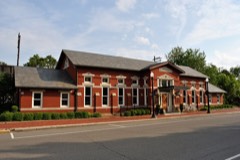 | Pennsylvania Railway Station | 0.3 miles | 1979 |
| National Archives record | The nomination case file for reference 15000613 in Record Group 79. |
| Licking County | All 52 listed properties in this county. |