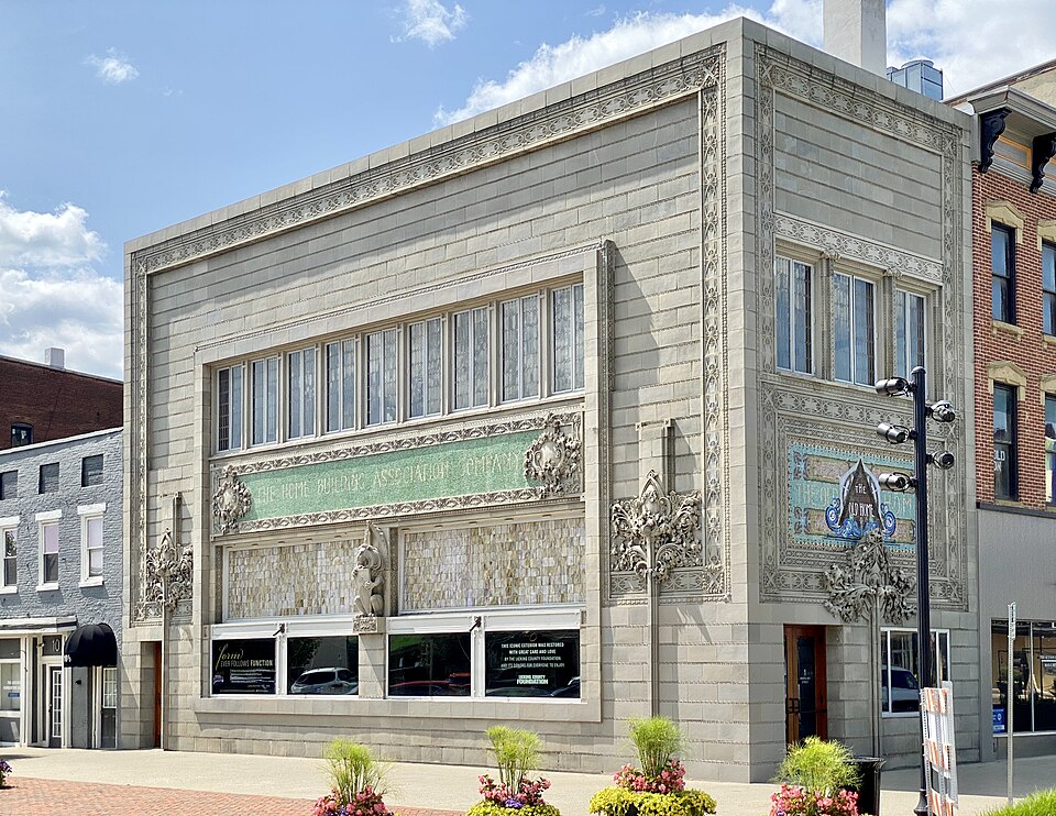
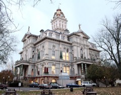
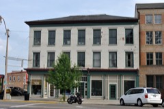
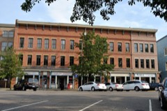
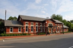
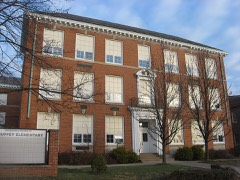
Built in 1914. Listed on the National Register of Historic Places in
1973. A historic map-sheet match is not published yet. The record needs a coordinate-quality review before it can be joined to a sheet boundary.
From the record
“The Home Building Association Bank is a historic building located at 1 North Third Street in Newark, Ohio, United States. It was one of eight banks designed by noted Chicago architect Louis Sullivan.”
Wikipedia article Home Building Association Bank, CC BY-SA 4.0.
one of 52 National Register listings in Licking County · listed in 1973 · category: Building · built in 1914, by Louis Sullivan.
National Register reference number.73001495- the number the National Park Service assigned this property when it was listed, and the key its nomination file is catalogued under at the National Archives.
Fires near this property
4 since 2014
Regional context, not property-specific
evidence. The
federal wildfire occurrence database
lists 4 fires within 5 miles of Home Building Association Bank between
2014 and 2020, burning about 7 acres in total. None started naturally. None was recorded as arson.
Distance is straight-line from the map coordinates, so a fire counted
here may appear on a neighbouring settlement's page as well.
Reported cause
Fires
Debris and open burning
4
The most recent of
them, most recent first, with the day each was reported and the service
that recorded it.
Regional context, not property-specific
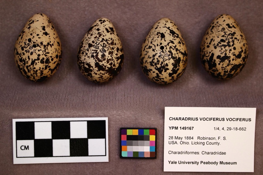
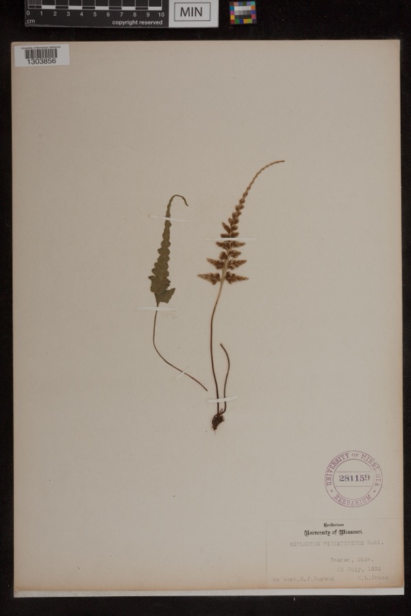
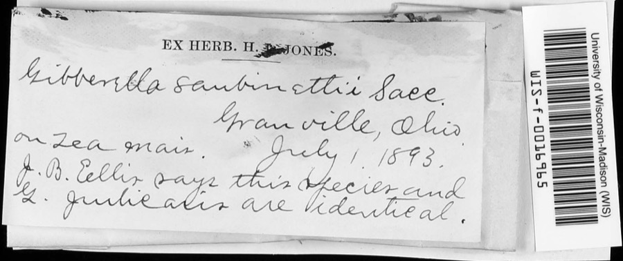
evidence. Museums hold 2,548 specimens
collected within 10 miles of Home Building Association Bank between 1843 and
1975: 2,223 Animalia, 238 Fungi, 58 Plantae, 26 Protozoa, 3 Chromista. 12 distinct Species records are shown.
Collected by A. Gray; W. S. Sullivant, A. P. M., A. P. Morgan and others. Each is a
physical object with a catalogue
number, and each entry opens the museum's record. This is what was
collected and kept, not a survey of what lives here - nothing can be
concluded from a species being absent.
Regional context, not property-specific
evidence. The federal mineral resources record lists
5 workings within 5 miles of Home Building Association Bank: 2 past producers, 2 plants, 1 producer.
3 still produce. What was taken out: Sand and Gravel, Construction. Distance is straight-line from the
map coordinates, so a quarry counted here may appear on a neighbouring
settlement's page as well.
Regional context, not property-specific
evidence. The National Weather Service names
Newark, the town this property stands in, in 69 storm reports between 1994 and 2026: 39 thunderstorm wind, 21 hail, 5 flood, 2 lightning.
The reports record 1 death and 1 injury. Each account below is quoted exactly as the forecast office
filed it, from the NOAA Storm Events Database, and each date
opens the federal record of that event.
,,,,,,,,Lightning Winds of 60 mph were reported in Newark. Large hail fell in Hebron where lightning killed a 46-year-old man as he attempted to untie a dog from under a tree to get it to shelter from the hail storm. A 33-year-old woman at the scene was also struck and injured. The dog was unharmed.
A 30-foot by 30-foot section of a roof was ripped off of a building on the southeast side of town. A construction trailer was turned on its side, and a steel overhang was pulled off of a home, causing minor damage to a wall.
1 paper published in this town,
digitised by the Library of Congress and free to read: 0 issues,
0 pages. Every page is searchable, so a name or a street can be
looked for directly in what the town printed about itself at the time.
No historic map-sheet match is published
for this property yet. That does not mean no map exists. This record needs
a coordinate-quality review before it can be joined to a sheet boundary.
Browse the county's mapped places while that work is
pending.
From the nomination file
1,349 words on record
When this property was proposed for the
National Register, someone wrote the case for it: what the building is,
and why it matters. That document is a federal record in the public domain.
It is quoted below word for word, never summarised. The text was read off the scanned case file by machine, so the
occasional stray character is the recogniser's and the 1970s
typewriter's.
Description of the property
was dropped, and the doorway on the southeast corner was reset at an angle, greatly detracting from the appearance of the building. the center of the south side, a lion holding a shield is seen.
and on the east side, "The Old Hone." Presumably, these panels the wall are brick red, dull green, dull blue, and CONDITION DESCRIPTION Association Bank: Ruins and the exterior possesses those elements that characterized the in decoration.The counters and wall dado are faced Designed by Chicago architect Louis Sullivan, the Home Building cartouches are the principal ornaments on the first floor.In Morrison also provides an excellent desription of the interior for business use.The exterior is faced by greenish Above the windows on the first floor are covered mosaics that is...like the gleaming precision of fine machinery." The stained glass on the south side is original.Foliated of the company desired accommodations for quite a a three story building since the basement was designed treatment of the plate glass shield partitioning the The first floor exterior is marked by rectangular windows and Association Bank is one of the important extant structures done which has been vastly altered: has this to add about the appearance of the Home Building gray terra cotta slabs with ornamented borders....
erect a two-story structure, and it was in reality one has the feeling that the whole enterprise was cheap." chromatic frieze;and even the ceiling beams are richly windows are rectangular, and the panes are leaded glass. by intricately veined black marble; the wall is a poly- gold-buff.The best feature of the interior is the story stone facade, and measures approximately sixty-five by Hugh Morrison in his Louis Sullivan, Prophet of Modern Architecture, work of Louis Sullivan.
parents. At age sixteen, Sullivan became determined to the office of Frank Furness, designer of the Pennsylvania Left for Durope to further his education. 1881. Adler and Sullivan designed several important buildings. The Borden block (1879-1880), Auditorium Building (1886- as his younger period, but he still designed some important Bank in Owatonna, Minnesota (1907-1908), The Merchants' and Loan Association Bank in Sidney, Ohio (1917-1918), as impressive as some of Sullivan's other banks, it is Commerce Communications Transportation Conservation Aboriginal REGISTER Engineering Architecture SIGNIFICANCE Literature Agriculture losophy Science still an important structure.
Music itarian NATIONAL Theater Education Prehistoric Landscape Industry Political their partnership, and Sullivan started working alone. Sculpture Dankmar Adler with whom he entered into a partmership in that the American Institute of Architects awarded him posthumously Louis Sullivan's later years were not nearly as productive Social/Human- Religion/Phi- and the Home Building Association Bank were all part of this Sullivan died in Chicago in 1924.It was not until 1946 firm designed.But in 1895 Sullivan and Adler dissolved Louis Sullivan was born in Boston in 1856,the son of immigrant Institute of Technology.Sullivan studied at MIT for one Invention and worked until depression in 1873 forced Furness to its Gold Medal.
Building were among the buildings the talented Military become an architect, and in 1872 he entered the Massachusetts 1890),Wainwright Tomb the Transportation AREAS OF SIGNIFICANCE:(Check One or More as Appropriate) PERIOD (Check One or More as Appropriate) National Bank in Grinnell, Iowa (1914), Peoples' Saving - Urban Plan: Art reduce his staff.Louis went to Chicago to be with his Sullivan studied in Europe about two years.In 1879 he met period.While the Home Building Association Bank was not structures, including several banks. The National Farmers' 9.
Quoted from the National Register nomination
for reference 73001495, 13 pages, held by the National Archives in Record
Group 79. See the
catalogue record.
Listed places nearby
6 within 8 miles
Other National Register properties close
enough to walk or drive between, ordered by distance from this one. Both
positions come from the same geocoding pass that matched these properties
to their map sheets.
Listing record. National Park Service National Register of Historic Places, listed-properties dataset, current to 2026-05-22.
Map join. Address geocoded through the United States Census geocoder, then tested against the published boundary of every sheet in the USGS Historical Topographic Map Collection.
How this page is made. Listing fields come from federal records; map-sheet coverage is a labelled coordinate-to-boundary calculation, not a source-field claim.
Wildfire. Short, Karen C. 2022. Spatial wildfire occurrence data for the United States, 1992-2020 [FPA_FOD_20221014]. 6th Edition. Fort Collins, CO: Forest Service Research Data Archive. https://doi.org/10.2737/RDS-2013-0009.6 Collected with United States Government funding and usable without additional permissions or fees.
Specimens. Global Biodiversity Information Facility (GBIF), https://www.gbif.org/. Only records licensed CC0 or CC BY are used. Records licensed CC BY-NC are excluded because this site carries advertising. Images are checked individually and any whose licence is non-commercial, no-derivatives or unreadable is refused.
Mines and quarries. USGS Mineral Resources Data System (MRDS) https://mrdata.usgs.gov/mrds/ A work of the United States government, no copyright under 17 U.S.C. 105.
Storms. NOAA National Centers for Environmental Information, Storm Events Database https://www.ncei.noaa.gov/stormevents/ A work of the United States government, no copyright under 17 U.S.C. 105. Narratives are quoted verbatim from the National Weather Service report and are not edited or summarised.
 Block
Block