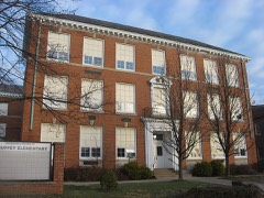
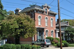
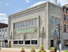
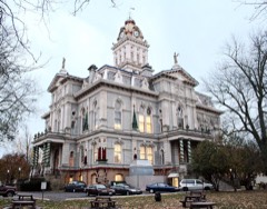
Listed on the National Register of Historic Places in
1977. A historic map-sheet match is not published yet. The record needs a coordinate-quality review before it can be joined to a sheet boundary.
From the record
one of 52 National Register listings in Licking County · listed in 1977 · category: Building.
National Register reference number.77001072- the number the National Park Service assigned this property when it was listed, and the key its nomination file is catalogued under at the National Archives.
Fires near this property
4 since 2014
Regional context, not property-specific
evidence. The
federal wildfire occurrence database
lists 4 fires within 5 miles of Sherwood-Davidson And Buckingham Houses between
2014 and 2020, burning about 7 acres in total. None started naturally. None was recorded as arson.
Distance is straight-line from the map coordinates, so a fire counted
here may appear on a neighbouring settlement's page as well.
Reported cause
Fires
Debris and open burning
4
The most recent of
them, most recent first, with the day each was reported and the service
that recorded it.
Regional context, not property-specific
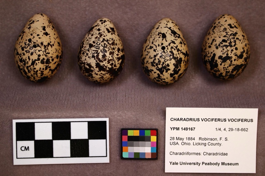
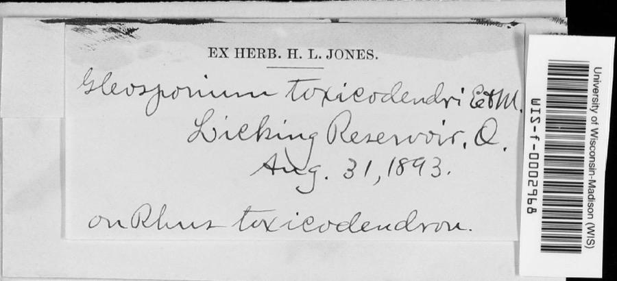
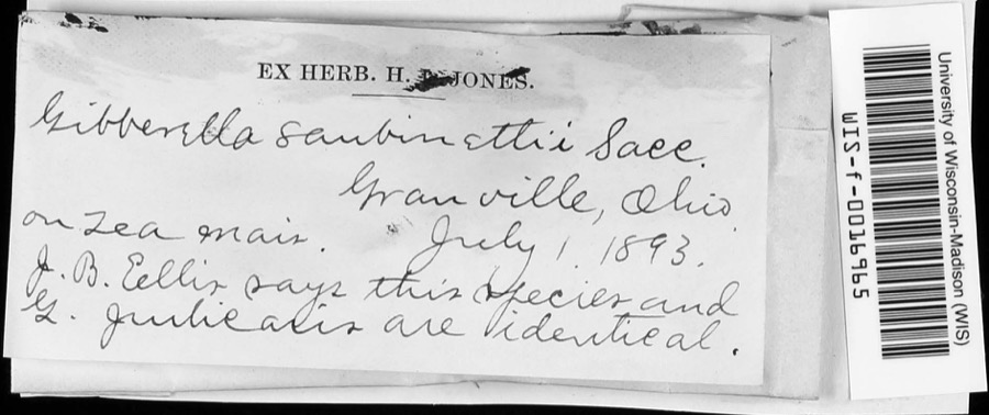
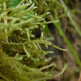
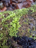
evidence. Museums hold 2,626 specimens
collected within 10 miles of Sherwood-Davidson And Buckingham Houses between 1843 and
1975: 2,304 Animalia, 236 Fungi, 57 Plantae, 26 Protozoa, 3 Chromista. 12 distinct Species records are shown.
Collected by A. Gray; W. S. Sullivant, A. P. M., A. P. Morgan and others. Each is a
physical object with a catalogue
number, and each entry opens the museum's record. This is what was
collected and kept, not a survey of what lives here - nothing can be
concluded from a species being absent.
Regional context, not property-specific
evidence. The federal mineral resources record lists
5 workings within 5 miles of Sherwood-Davidson And Buckingham Houses: 2 past producers, 2 plants, 1 producer.
3 still produce. What was taken out: Sand and Gravel, Construction. Distance is straight-line from the
map coordinates, so a quarry counted here may appear on a neighbouring
settlement's page as well.
Regional context, not property-specific
evidence. The National Weather Service names
Newark, the town this property stands in, in 69 storm reports between 1994 and 2026: 39 thunderstorm wind, 21 hail, 5 flood, 2 lightning.
The reports record 1 death and 1 injury. Each account below is quoted exactly as the forecast office
filed it, from the NOAA Storm Events Database, and each date
opens the federal record of that event.
,,,,,,,,Lightning Winds of 60 mph were reported in Newark. Large hail fell in Hebron where lightning killed a 46-year-old man as he attempted to untie a dog from under a tree to get it to shelter from the hail storm. A 33-year-old woman at the scene was also struck and injured. The dog was unharmed.
A 30-foot by 30-foot section of a roof was ripped off of a building on the southeast side of town. A construction trailer was turned on its side, and a steel overhang was pulled off of a home, causing minor damage to a wall.
1 paper published in this town,
digitised by the Library of Congress and free to read: 0 issues,
0 pages. Every page is searchable, so a name or a street can be
looked for directly in what the town printed about itself at the time.
No historic map-sheet match is published
for this property yet. That does not mean no map exists. This record needs
a coordinate-quality review before it can be joined to a sheet boundary.
Browse the county's mapped places while that work is
pending.
From the nomination file
1,908 words on record
When this property was proposed for the
National Register, someone wrote the case for it: what the building is,
and why it matters. That document is a federal record in the public domain.
It is quoted below word for word, never summarised. The text was read off the scanned case file by machine, so the
occasional stray character is the recogniser's and the 1970s
typewriter's.
Description of the property
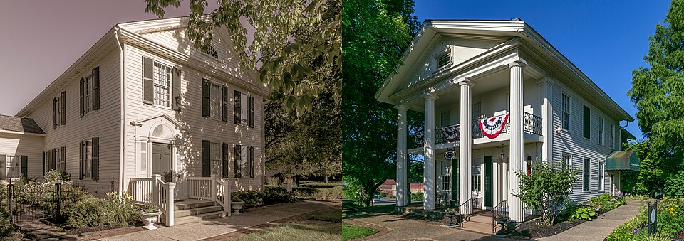
paneled door. Above, a dentiled band forms the base of a full pediment which has a remainder of the facade has five 12/12 light, shuttered windows--two on the first floor The north side features an unusual, recessed, two-story porch. Half-round pilasters free-standing, round columns and two, half-round, pilasters. The uprights of the To the south is a one-story, single room, gable-roofed wing. It is early and probably of the house, four on the south side and six on the north side, are identical to ridgeline, close to the center line of the house and an inside end chimney on the recess is paneled; the solid door has a rectangular, reeded panel centered in it. The door is surrounded by reeded pilasters, sidelights and a five-light transom.
The original house was four bays deep, windows on either side are 6/6 with plain molding. A later, gable-roofed, two-story portion, slightly shorter and narrower than the original house, was added to the rear (west). This addition was early and moved with Later additions are the one-story, rectangular, wing across the rear and a single room, CONDITION UNEXPOSED DETERIORATED DATE XALTERED XMOVED Sherwood Davidson House: CHECK ONE street and the three bay facade is notable for its outstanding frontispiece entrance. Half-round and fluted pilasters and louvered sidelights and wood panels flank the The interior retains its fine detail and handsome woodwork and is furnished with which is supported by two reeded columns and two square, reeded pilasters.The the house.
The Buckingham House: windows to either side of these.Above the porch the roof is gabled.
especially, is one of the outstanding Federal style homes in central Ohio and is one The Sherwood-Davidson House was built around 1817 by Albert Sherwood, a native of by the community for teas, receptions, dinners, exhibits, and monthly meetings of 1400-1499 1700-1799 ENGINEERING ART ARCHEOLOGY-HISTORIC PHILOSOPHY RELIGION AGRICULTURE BUILDER/ARCHITECT PERIOD EDUCATION PREHISTORIC SCIENCE SIGNIFICANCE THEATER POLITICS/GOVERNMENT INDUSTRY LITERATURE EXPLORATION/SETTLEMENT XARCHITECTURE 1900- MUSIC _COMMUNICATIONS _TRANSPORTATION MILITARY and restored by the Licking County Historical Society.The Sherwood-Davidson House, several local organizations. _COMMERCE SCULPTURE the city of Newark.
Although both have been moved they are architecturally fine These two houses represent two of the finest early homes of Newark -a city which once wife and several children in this fine home.The house was occupied by three generations -1600-1699 Hayes as judge of common pleas for Licking County.Presidents Hayes and Garfield were _CONSERVATION house museum in 1952. No major alteration or additions were made after the move.
by Judge Jerome Buckingham who had graduated from Harvard Law School and came to The Buckingham House was built between 1830 and 1840.It was occupied during the 40's among many dignitaries who visited the house.The house was condemned in 1954 and slated restored and adapted for their use.It was opened to the public in 1967 and is used examples of Ohio Federal and Greek revival architecture. - INVENTION -1500-1599 - LAW -COMMUNITY PLANNING of Newark's oldest and finest homes. Both properties are used as museum facilities for family of another Newark merchant, Col. Robert Davidson. Davidson had settled in asked for, and received, the house on the condition that it be moved.
Quoted from the National Register nomination
for reference 77001072, 22 pages, held by the National Archives in Record
Group 79. See the
catalogue record.
Listed places nearby
6 within 8 miles
Other National Register properties close
enough to walk or drive between, ordered by distance from this one. Both
positions come from the same geocoding pass that matched these properties
to their map sheets.
Listing record. National Park Service National Register of Historic Places, listed-properties dataset, current to 2026-05-22.
Map join. Address geocoded through the United States Census geocoder, then tested against the published boundary of every sheet in the USGS Historical Topographic Map Collection.
How this page is made. Listing fields come from federal records; map-sheet coverage is a labelled coordinate-to-boundary calculation, not a source-field claim.
Wildfire. Short, Karen C. 2022. Spatial wildfire occurrence data for the United States, 1992-2020 [FPA_FOD_20221014]. 6th Edition. Fort Collins, CO: Forest Service Research Data Archive. https://doi.org/10.2737/RDS-2013-0009.6 Collected with United States Government funding and usable without additional permissions or fees.
Specimens. Global Biodiversity Information Facility (GBIF), https://www.gbif.org/. Only records licensed CC0 or CC BY are used. Records licensed CC BY-NC are excluded because this site carries advertising. Images are checked individually and any whose licence is non-commercial, no-derivatives or unreadable is refused.
Mines and quarries. USGS Mineral Resources Data System (MRDS) https://mrdata.usgs.gov/mrds/ A work of the United States government, no copyright under 17 U.S.C. 105.
Storms. NOAA National Centers for Environmental Information, Storm Events Database https://www.ncei.noaa.gov/stormevents/ A work of the United States government, no copyright under 17 U.S.C. 105. Narratives are quoted verbatim from the National Weather Service report and are not edited or summarised.
 Block
Block