Built in 1822. Listed on the National Register of Historic Places in
1969. A historic map-sheet match is not published yet. The record needs a coordinate-quality review before it can be joined to a sheet boundary.
From the record
“Marblehead Lighthouse in Marblehead, Ohio, United States, is the oldest lighthouse in continuous operation on the American side of the Great Lakes. It has guided sailors safely along the rocky shores of Marblehead Peninsula since 1822, and is an active aid to navigation.”
Wikipedia article Marblehead Light (Ohio), CC BY-SA 4.0.
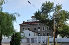
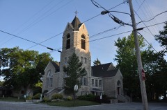
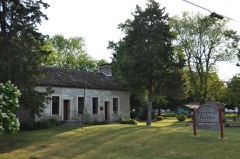
one of 21 National Register listings in Ottawa County · listed in 1969 · category: Structure · built in 1822.
National Register reference number.69000148- the number the National Park Service assigned this property when it was listed, and the key its nomination file is catalogued under at the National Archives.
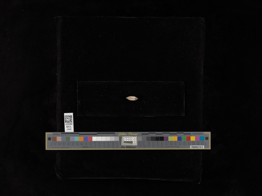
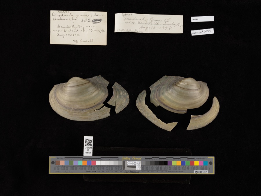
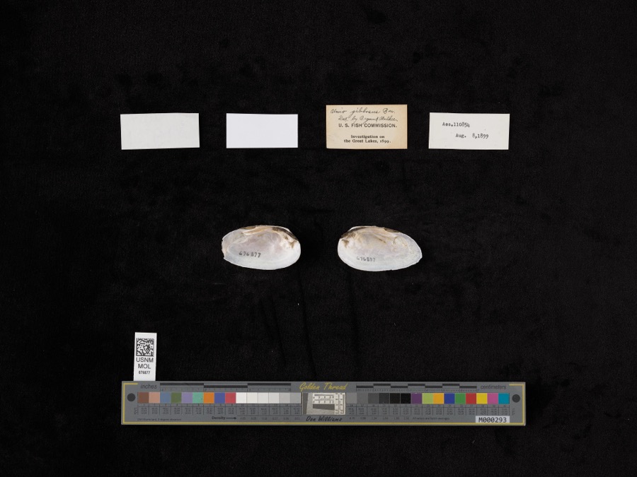
Specimens collected near this property
12 of 4,840 shown
Regional context, not property-specific
evidence. Museums hold 4,840 specimens
collected within 10 miles of Marblehead Lighthouse between 1871 and
1975: 3,683 Animalia, 1,010 Plantae, 131 Fungi, 8 Chromista, 6 Protozoa, 2 Unrecorded. 12 distinct Species records are shown.
Collected by A. D. Selby, A. F. Satterthwait, A. J. Eames and others. Each is a
physical object with a catalogue
number, and each entry opens the museum's record. This is what was
collected and kept, not a survey of what lives here - nothing can be
concluded from a species being absent.
Regional context, not property-specific
evidence. The federal mineral resources record lists
5 workings within 5 miles of Marblehead Lighthouse: 3 past producers, 1 plant, 1 producer.
2 still produce. What was taken out: Stone, Crushed/Broken, Limestone, General. Distance is straight-line from the
map coordinates, so a quarry counted here may appear on a neighbouring
settlement's page as well.
Regional context, not property-specific
evidence. The National Weather Service names
Marblehead, the town this property stands in, in 8 storm reports between 2002 and 2013: 6 hail, 2 thunderstorm wind.
No death or injury is recorded in these reports. Each account below is quoted exactly as the forecast office
filed it, from the NOAA Storm Events Database, and each date
opens the federal record of that event.
No historic map-sheet match is published
for this property yet. That does not mean no map exists. This record needs
a coordinate-quality review before it can be joined to a sheet boundary.
Browse the county's mapped places while that work is
pending.
Named in the fire insurance atlases
Sanborn surveyors printed an index of the
town's establishments at the front of each atlas. This property is named in
one, read straight off the scanned sheet.
When this property was proposed for the
National Register, someone wrote the case for it: what the building is,
and why it matters. That document is a federal record in the public domain.
It is quoted below word for word, never summarised. The text was read off the scanned case file by machine, so the
occasional stray character is the recogniser's and the 1970s
typewriter's.
Description of the property
The Marblehead Lighthouse is a lime-white, cone-shaped stone structure CONDITION ing system. DESCRIPTION The present tower stands as it was constructed originally except for (Check One) at its are five feet thick at the base and graduate tot visible for l6 miles. X Good * Original Site , feet in thickness at the top), Soaring 90 feet above ground, theclightt- Excellent Fair an addition ofa few feetat the top to accommodate an improved light- PERIOD (Check One or More as Appropriate) Pre-Columbian | X 19th Century SPECIFIC DATE(S) (If Applicable and Known) - Political - Prehistoric - Religion/Phi- Other (Specify) Xl Transportation STATEMENT OF
Statement of significance
came to Ohio from New York State in 1818. 1821 Architecture Conservation Engineering SIGNIFICANCE Communications losophy Aboriginal Literature Science Education Landscape Music Commerce itarian Invention Social/Human- Sculpture Industry Now it is the oldest lighthouse in continuous operation on the Agriculture authorized by Congress in 1820 and construction began in 182l. Woolverton who sublet construction to William Kelley. Kelley This was the second lighthouse built on the Great Lakes.It was Urban Planning Art Great Lakes. The site was selected, because it over looks the entrance to Sandusky Bay, by Stephen Pleasonton, General Super- intendent of Lights, U. S. Treasury Dept. Contractor was Stephen Theater RECEIVE NATIONAL Military DEC 11969 Vol. 2 (1907), PP. 204-208.
Ohio Guide, New York, 1946. N4599500 DEC 1 1969 10.
Quoted from the National Register nomination
for reference 69000148, 16 pages, held by the National Archives in Record
Group 79. See the
catalogue record.
Listed places nearby
6 within 8 miles
Other National Register properties close
enough to walk or drive between, ordered by distance from this one. Both
positions come from the same geocoding pass that matched these properties
to their map sheets.
Listing record. National Park Service National Register of Historic Places, listed-properties dataset, current to 2026-05-22.
Map join. Address geocoded through the United States Census geocoder, then tested against the published boundary of every sheet in the USGS Historical Topographic Map Collection.
How this page is made. Listing fields come from federal records; map-sheet coverage is a labelled coordinate-to-boundary calculation, not a source-field claim.
Specimens. Global Biodiversity Information Facility (GBIF), https://www.gbif.org/. Only records licensed CC0 or CC BY are used. Records licensed CC BY-NC are excluded because this site carries advertising. Images are checked individually and any whose licence is non-commercial, no-derivatives or unreadable is refused.
Mines and quarries. USGS Mineral Resources Data System (MRDS) https://mrdata.usgs.gov/mrds/ A work of the United States government, no copyright under 17 U.S.C. 105.
Storms. NOAA National Centers for Environmental Information, Storm Events Database https://www.ncei.noaa.gov/stormevents/ A work of the United States government, no copyright under 17 U.S.C. 105. Narratives are quoted verbatim from the National Weather Service report and are not edited or summarised.
 Block
Block