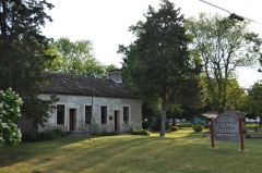
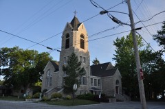
Listed on the National Register of Historic Places in
1972. A historic map-sheet match is not published yet. The record needs a coordinate-quality review before it can be joined to a sheet boundary.
From the record
one of 21 National Register listings in Ottawa County · listed in 1972 · category: Structure.
National Register reference number.72001038- the number the National Park Service assigned this property when it was listed, and the key its nomination file is catalogued under at the National Archives.
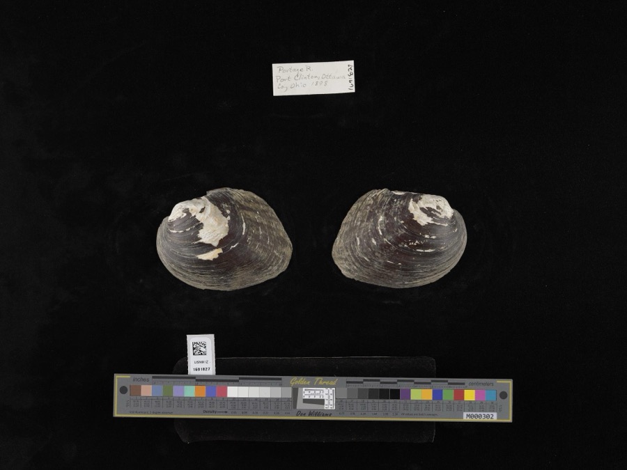
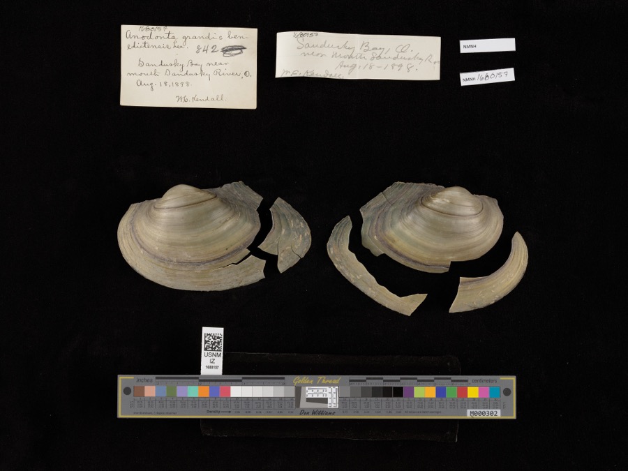
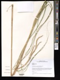
Specimens collected near this property
12 of 2,769 shown
Regional context, not property-specific
evidence. Museums hold 2,769 specimens
collected within 10 miles of War Of 1812 Battle Site between 1885 and
1975: 1,750 Animalia, 900 Plantae, 105 Fungi, 7 Chromista, 6 Protozoa, 1 Unrecorded. 12 distinct Species records are shown.
Collected by A. D. Selby, A. F. Satterthwait, A. J. Eames and others. Each is a
physical object with a catalogue
number, and each entry opens the museum's record. This is what was
collected and kept, not a survey of what lives here - nothing can be
concluded from a species being absent.
Regional context, not property-specific
evidence. The federal mineral resources record lists
4 workings within 5 miles of War Of 1812 Battle Site: 3 past producers, 1 plant.
1 still produces. What was taken out: Stone, Crushed/Broken, Sand and Gravel, Construction, Limestone, General. Distance is straight-line from the
map coordinates, so a quarry counted here may appear on a neighbouring
settlement's page as well.
No historic map-sheet match is published
for this property yet. That does not mean no map exists. This record needs
a coordinate-quality review before it can be joined to a sheet boundary.
Browse the county's mapped places while that work is
pending.
From the nomination file
1,634 words on record
When this property was proposed for the
National Register, someone wrote the case for it: what the building is,
and why it matters. That document is a federal record in the public domain.
It is quoted below word for word, never summarised. The text was read off the scanned case file by machine, so the
occasional stray character is the recogniser's and the 1970s
typewriter's.
Description of the property
Of stone: (west face inscription) "In Memory of Mason, Simonds, Mingus view from the site to Lake Erie is now impossible. This small plot may Fair Good Pre-Columbian | - 20th Century SPECIFIC DATE(S) (If Applicable and Known) STATEMENT OF
Statement of significance
Following the surrender of General Hull's army at Detroit, pioneer 1812, a local militia regiment was dispatched to Fort Avery, a small Cedar Point, now in Erie County, and at dawn the group, under the command of Captain Joshua Cotten, crossed Sandusky Bay to Marblehead Peninsula. Among those in this party was a lad named Joshua Giddings, later a leading advanced to a settler's home, the Ramsdell house, and to Two Harbors on encountered the hostile, British-influenced Indian war party.
At the same time, the boat guards discovered the presence of the Indians and soldiers took refuge in a log cabin, while others, finding two of the Six militiamen were killed and eight wounded in this, the first battle of Communications Military Landscape Architecture Transportation Commerce losophy Conservation Engineering SIGNIFICANCE Science Aboriginal Theater Industry Agriculture Literature Prehistoric Education Invention Music Political itarian Sculpture anti-slavery congressman. Social/Human- battle monument erected in Ohio. party was sent to Marblehead Peninsula,now in Ottawa County,to look Urban Planning in vivid detail by Giddings. finally arrived from Fort Avery and relieved the siege.
Leaving guards at the boats moored on the Marblehead shore, the main party which was later made famous in the annals of Ohio history by being retold and roasted pumpkin left behind by the fleeing settlers.A rescue party sixty volunteers were accordingly dispatched the night of September 28 to post on the Huron River not far from present day Milan.A reconnoitering hastily rowed back to Cedar Point. Religion/Phi.
Quoted from the National Register nomination
for reference 72001038, 12 pages, held by the National Archives in Record
Group 79. See the
catalogue record.
Listed places nearby
6 within 8 miles
Other National Register properties close
enough to walk or drive between, ordered by distance from this one. Both
positions come from the same geocoding pass that matched these properties
to their map sheets.
Listing record. National Park Service National Register of Historic Places, listed-properties dataset, current to 2026-05-22.
Map join. Address geocoded through the United States Census geocoder, then tested against the published boundary of every sheet in the USGS Historical Topographic Map Collection.
How this page is made. Listing fields come from federal records; map-sheet coverage is a labelled coordinate-to-boundary calculation, not a source-field claim.
Specimens. Global Biodiversity Information Facility (GBIF), https://www.gbif.org/. Only records licensed CC0 or CC BY are used. Records licensed CC BY-NC are excluded because this site carries advertising. Images are checked individually and any whose licence is non-commercial, no-derivatives or unreadable is refused.
Mines and quarries. USGS Mineral Resources Data System (MRDS) https://mrdata.usgs.gov/mrds/ A work of the United States government, no copyright under 17 U.S.C. 105.
 Block
Block