Listed on the National Register of Historic Places in
1971. A historic map-sheet match is not published yet. The record needs a coordinate-quality review before it can be joined to a sheet boundary.
From the record
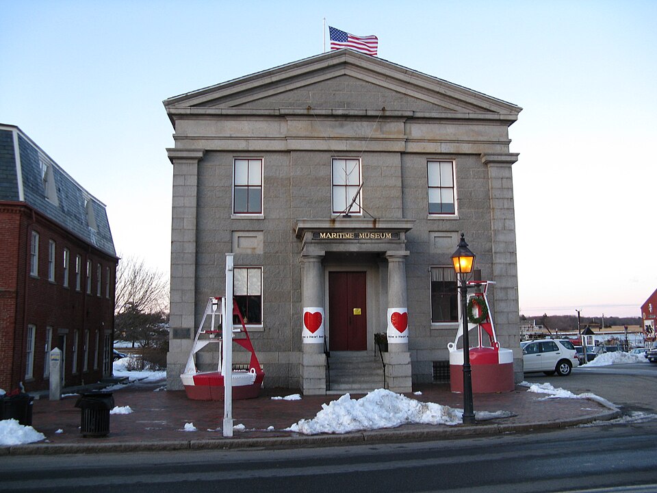
“The former United States Customhouse is a historic building at 25 Water Street in Newburyport, Massachusetts.”
Wikipedia article United States Customhouse (Newburyport, Massachusetts), CC BY-SA 4.0.
one of 350 National Register listings in Essex County · listed in 1971 · category: Building · one of 2 National Historic Landmarks in Essex County.
National Register reference number.71000089- the number the National Park Service assigned this property when it was listed, and the key its nomination file is catalogued under at the National Archives.
Fires near this property
77 since 2007
Regional context, not property-specific
evidence. The
federal wildfire occurrence database
lists 77 fires within 5 miles of US Customhouse between
2007 and 2020, burning about 33 acres in total. None started naturally. 9 were recorded as arson.
Distance is straight-line from the map coordinates, so a fire counted
here may appear on a neighbouring settlement's page as well.
Reported cause
Fires
Debris and open burning
17
Missing data/not specified/undetermined
10
Equipment and vehicle use
10
Arson/incendiarism
9
Recreation and ceremony
7
Fireworks
7
Power generation/transmission/distribution
6
Smoking
5
Misuse of fire by a minor
4
Railroad operations and maintenance
1
Other causes
1
The most recent of
them, most recent first, with the day each was reported and the service
that recorded it.
Regional context, not property-specific
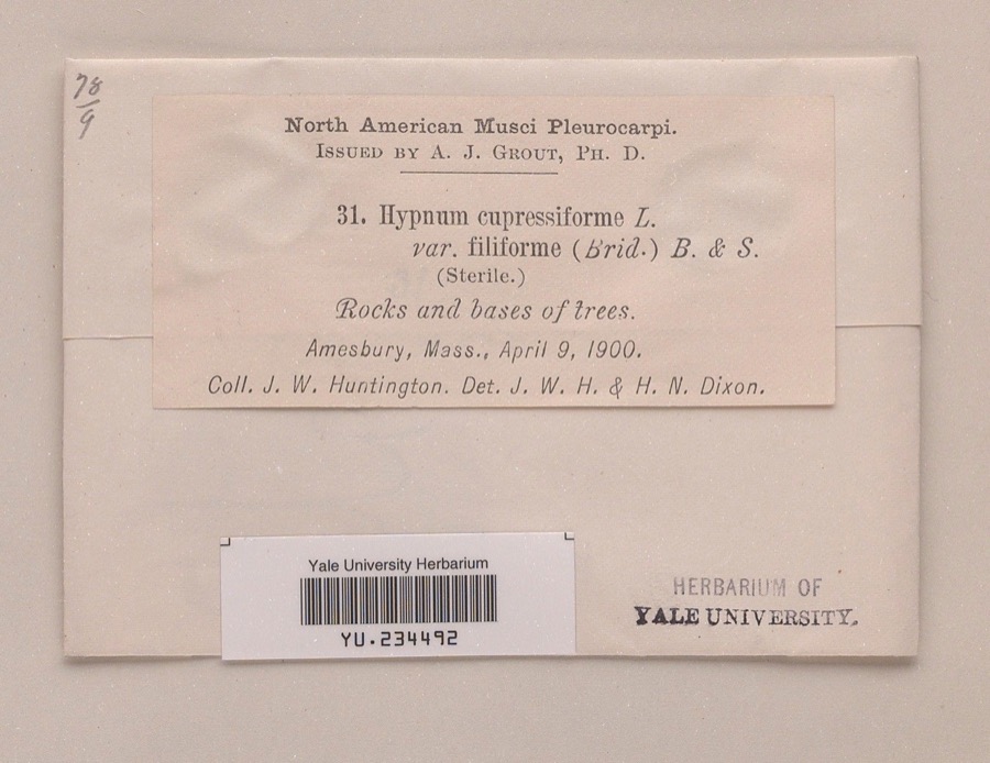
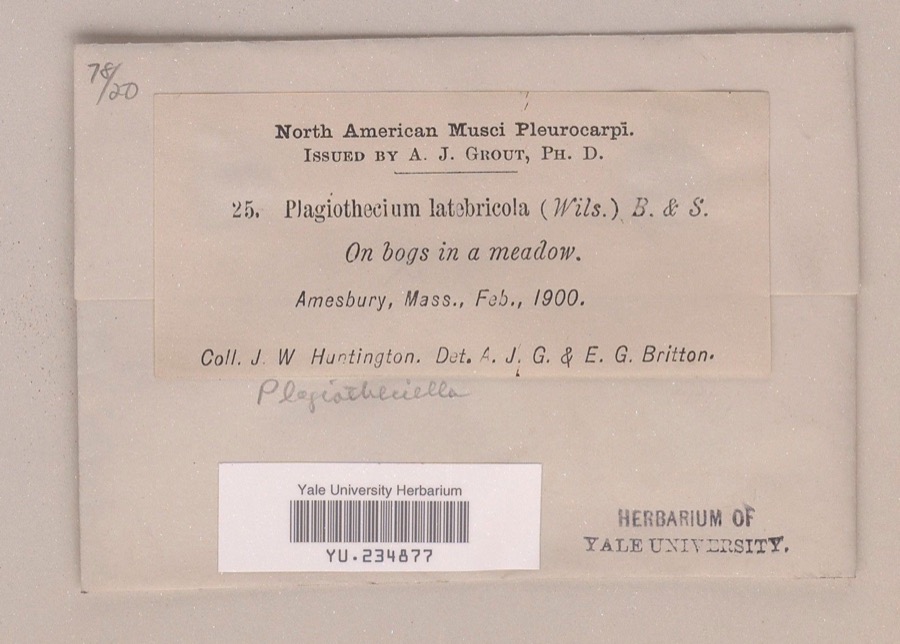
evidence. Museums hold 2,344 specimens
collected within 10 miles of US Customhouse between 1800 and
1975: 1,398 Plantae, 655 Animalia, 190 Fungi, 88 Chromista, 7 Unrecorded, 4 Protozoa, 2 Bacteria. 12 distinct Species records are shown.
Collected by A A Eaton, A Brown, A. A. Eaton and others. Each is a
physical object with a catalogue
number, and each entry opens the museum's record. This is what was
collected and kept, not a survey of what lives here - nothing can be
concluded from a species being absent.
Regional context, not property-specific
evidence. The federal mineral resources record lists
4 workings within 5 miles of US Customhouse: 4 past producers.
None of them still produces. What was taken out: Lead, Sand and Gravel, Construction, Silver, Zinc, Copper, Gold, Silver. Distance is straight-line from the
map coordinates, so a quarry counted here may appear on a neighbouring
settlement's page as well.
Regional context, not property-specific
evidence. The National Weather Service names
Newburyport, the town this property stands in, in 13 storm reports between 1997 and 2023: 8 thunderstorm wind, 3 hail, 1 heavy rain, 1 lightning.
No death or injury is recorded in these reports. Each account below is quoted exactly as the forecast office
filed it, from the NOAA Storm Events Database, and each date
opens the federal record of that event.
The Weatherflow reporting station at Plum Island recorded a wind gust of 69 mph. Wires were downed onto Sunset Drive in Newburyport from these thunderstorm winds.
1 paper published in this town,
digitised by the Library of Congress and free to read: 0 issues,
0 pages. Every page is searchable, so a name or a street can be
looked for directly in what the town printed about itself at the time.
No historic map-sheet match is published
for this property yet. That does not mean no map exists. This record needs
a coordinate-quality review before it can be joined to a sheet boundary.
Browse the county's mapped places while that work is
pending.
From the nomination file
3,218 words on record
When this property was proposed for the
National Register, someone wrote the case for it: what the building is,
and why it matters. That document is a federal record in the public domain.
It is quoted below word for word, never summarised. The text was read off the scanned case file by machine, so the
occasional stray character is the recogniser's and the 1970s
typewriter's.
Description of the property
- Moved - Unexposed (Check One) * Origiral Site The U. S. Custom House in Newburyport is located on a deep, narrow lot on the fringe of the city's central business district and in sight of the Merrimack River and the Newburyport Harbor. As is usual with mest small buildings of the Neo-Classical style, the Custom House is almost without exterior embellishment. The two-story (plus basement) rectangular building has regular ashlar walls of gray granite; the corner pilasters are dressed granite blocks laid up as quoins. A simple fúscan entablature extends around the building, surmounted by an unornamented pediment at each of the two gable ends. The low-pitched roof is broken only by four central chimneys with cor- beled caps; a short span of metal roof-cresting connects the chimneys.
The main facade of the Custom House is three bays wide. To emphasize the axis, Mills has projected the middle bay slightly from the wall and has permitted this projection to run through the entablature. This creates a pavillion at the center of which is a one story entrance porch. Two unfluted columns, composed of elements of both the Doric and Tuscan orders, support an entablature which repeats on a smaller scale that of the main building. Unadorned rectangular panels, recessed in tro stages, are centered between the first and second story windows of the flanking bays. The interior of the Custom House is constructed of granite and brick with prominent arches and a vaulted vestibule.
Though structurally sound, the Newburyport Custom House has been allowed to deteriorate and requires extensive restoration. There are no basic faci- lities such as heating, plumbing or electrical fixtures. Doors and windows either are missing or are in dilapidated condition.
The U. S. Custom House built in Newburyport in 1834-35, one of five such port facilities known to be extant in Massachusetts, is one of two buildings in the state designed by Robert Mills, the first architect of international reputation both born and trained in America. Mills supervised the construc- tion of the building himself and, in its austere geometry, it is an excel- lent example of his bold and simple handling of the Neo-Classical forms.
In 1836, Mills was appointed by President Andirew Jackson to a position which the architect later described as "Architect of Public Buildings." In that office he was to use a style similar to that of the Custom House, but on a more monumental scale, in his plans for the Treasury (1836), the Old Post Office (1839) and the Patent Office (1839), the three most important buildings to be constructed in Wasington after the Capitol and the "President's House." Thus linked by its form to these major architectural works, the Newburyport Cus- tom House is, at the same time, directly related in its function to the mari- time history of the famous port in which it stands. Collection of duties on merchandize imported through Newburyport had begun in 1789.
Following the construction of the Custom House, receipts at the port reached a maximum in 1875 and 1876; more than $100,000 was collected each year, largely in duties on sugar and molasses imported from the West Indies by the firm of Bayley and Sons. It is estimated that during its half century career, this firm paid the government, through the Newburyport Custom House, more than $3,000,000 in duties.
Quoted from the National Register nomination
for reference 71000089, 17 pages, held by the National Archives in Record
Group 79. See the
catalogue record.
Listed places nearby
6 within 8 miles
Other National Register properties close
enough to walk or drive between, ordered by distance from this one. Both
positions come from the same geocoding pass that matched these properties
to their map sheets.
Listing record. National Park Service National Register of Historic Places, listed-properties dataset, current to 2026-05-22.
Map join. Address geocoded through the United States Census geocoder, then tested against the published boundary of every sheet in the USGS Historical Topographic Map Collection.
How this page is made. Listing fields come from federal records; map-sheet coverage is a labelled coordinate-to-boundary calculation, not a source-field claim.
Wildfire. Short, Karen C. 2022. Spatial wildfire occurrence data for the United States, 1992-2020 [FPA_FOD_20221014]. 6th Edition. Fort Collins, CO: Forest Service Research Data Archive. https://doi.org/10.2737/RDS-2013-0009.6 Collected with United States Government funding and usable without additional permissions or fees.
Specimens. Global Biodiversity Information Facility (GBIF), https://www.gbif.org/. Only records licensed CC0 or CC BY are used. Records licensed CC BY-NC are excluded because this site carries advertising. Images are checked individually and any whose licence is non-commercial, no-derivatives or unreadable is refused.
Mines and quarries. USGS Mineral Resources Data System (MRDS) https://mrdata.usgs.gov/mrds/ A work of the United States government, no copyright under 17 U.S.C. 105.
Storms. NOAA National Centers for Environmental Information, Storm Events Database https://www.ncei.noaa.gov/stormevents/ A work of the United States government, no copyright under 17 U.S.C. 105. Narratives are quoted verbatim from the National Weather Service report and are not edited or summarised.
 Block
Block