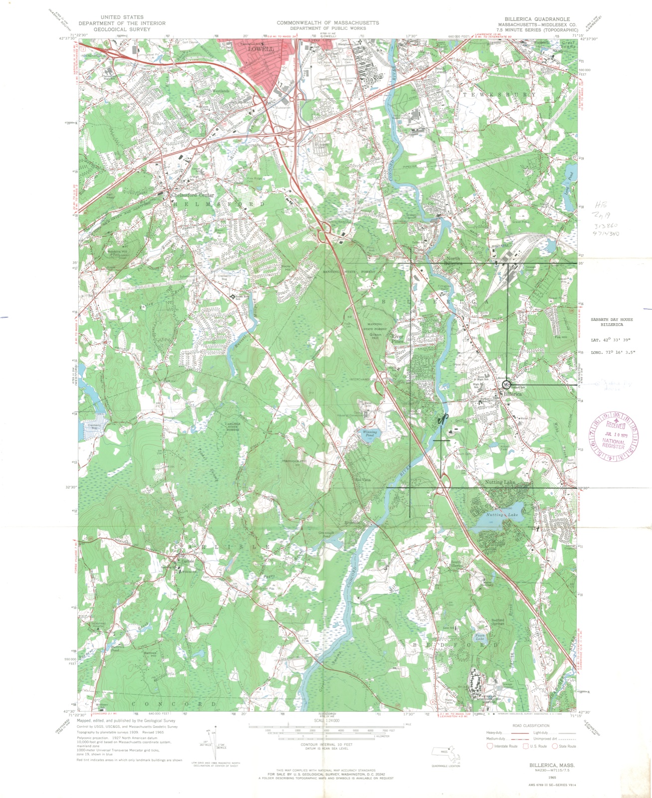
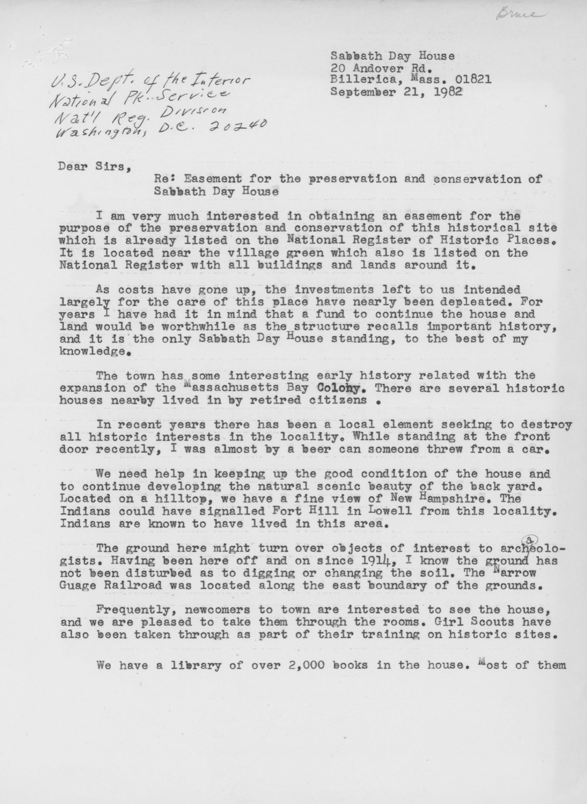
Photographs from the nomination case file, National Park Service records.
Sabbath Day House
Listed on the National Register of Historic Places in
1973. A historic map-sheet match is not published yet. The record needs a coordinate-quality review before it can be joined to a sheet boundary.
From the record
“US, to prevent our plantation from breaking up or brealiing in peicess, after all that charge we have been at, And hazards that we have run, to keep our ground hitherto & not broke wliolly in piecess. We still asert, as we did before, our case is Honest.”
History of Billerica, Massachusetts, with a Genealogical Register (1883). Machine-read text.
one of 1100 National Register listings in Middlesex County · listed in 1973 · category: Building · one of 3 National Historic Landmarks in Middlesex County.
National Register reference number.73000285- the number the National Park Service assigned this property when it was listed, and the key its nomination file is catalogued under at the National Archives.
What happened here
An account from the chapter on Billerica town, The inset identifies its exact
source book and publication year.
14. Josiah, son of Josiali. 5, b. 1704, Aug. 5; m. 1729-30, Feb. 3, Elizabetli French, dau. of William, 7. She d. 1739, Nov. 27. He d. before 1743. Killed by the Indians says tradition. Ch. Josiah. b. 3730, Nov. 24. He was in the military service in 1747, on the C-onnecticut river, and narrowly escaped with his life by swimming the river from the anibusead(» in which French.
For encouragement and aid in tlie work, thanks are due to friends more nuraei'ous than I can mention. Many, not named, are not forgotten, if I refer to a few, whom it Avere unpardonable to omit. The kindness and cooperation of each member of the Historical Committee have been constant and unstinted, and I record it here most gratefully ; while to Mr. Foster and his good wife (whose recent death makes their pleasant home desolate) , I am specially indebted for the lists of town officers, and for the useful alphabetical copy, made by thein, of the Baptisms found in the records of the First Church. Mr. Franklin .Taquith copied the inscriptions in the South BurjMng Ground, and those in the Old Corner Burj'ing Ground were as kindly copied by Mrs. Holt. Mr. Jaquith also prepared with great care the list of soldiers from Billerlca in the late war. Dr. C. E. Hosmer rendered important aid in preparing the Map of Ancient Billerica. The use of valuable surveys and papers has been generously granted by Mrs. Samuel Sage, Mr. Leander Crosbj% Mr. Merton Simonds, of Bedford, Peter E. Vose, Esq., of Dennysville, Me., and the Rev. Henry M. Dexter, D. D., of New Bedford. Mr. and Mrs. A. B. Cutler, of Bedford, have most kindly given me every opportunity to use the invaluable Lane Papers in their possession. The Hon. Samuel A. Green, M. D., Mayor of Boston, has not only given free access to the library of the Massachusetts Historical Society, but, by constant and valuable suggestions, aided me very materiallj'^ ; and Mr. John Ward Dean, of the New England Historic, Genealogical Society, has been not less helpful. The Congregational Library, rich in local history and genealogy, has been always at mj^ service, while to IMiss Mary E. Stone, its assistant lil)rarian, especial thanks are due, for invaluable aid, most cheerfully rendered, in reading proof of nian^y of these pages. In n)y researches among the Massachusetts Archives in the Secretarj' of State's office, the aid of Dr. Edward Strong has been of great service ; and thanks are due to Mr. David Pulsifer, of the same office. Others, who should be named in the same spirit, are, Mrs. Bennett and Mr. W. W. AVarren, Dr. Augustus Whiting, of Charlestown, Mr. and Mrs. L. W. Faulkner, Mr. C. H. Hill, Mr. E. J. Hill and Dr. F. V. Noj^es ; and the volume might have an appropriate dedication to the memory of Cai)t. Charles A. Kanlett, to whose historic interest much was due in the inception of the enterjti-ise.
Indian deeds, 123; sale, of Wamesit, 124; the Winthrops seek lo recover, 125; military company, 125; Canada expedition; Dunstable assailed; Lt. Wilson at Cocheco, 126; Billerica's first massacre, 127; second massacre, 129 ; Mrs. Toothaker, 130 ; militai-y life and trials, 132 ; Hunt's garrison, 134 ; Col. John Lane, 135 ; Queen Anne's war, 136 ; soldiers from Billerica, 137 ; Dunstable attacked, 140 ; Lovewell's expedition, 141 ; Louisburg, 142 ; service on Connecticut river, 143 ; sad day for Billerica, 143 ; Josiah Crosby, 144 ; French and Indian war, 145 ; soldiers from Billerica, 147 ; the French neutrals, 151.
Regional context, not property-specific
evidence. The
federal wildfire occurrence database
lists 56 fires within 5 miles of Sabbath Day House between
2008 and 2020, burning about 31 acres in total. None started naturally. None was recorded as arson.
Distance is straight-line from the map coordinates, so a fire counted
here may appear on a neighbouring settlement's page as well.
Reported cause
Fires
Debris and open burning
31
Missing data/not specified/undetermined
16
Recreation and ceremony
4
Railroad operations and maintenance
2
Misuse of fire by a minor
1
Equipment and vehicle use
1
Power generation/transmission/distribution
1
The most recent of
them, most recent first, with the day each was reported and the service
that recorded it.
Regional context, not property-specific
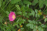
evidence. Museums hold 612 specimens
collected within 10 miles of Sabbath Day House between 1898 and
1975: 277 Plantae, 241 Animalia, 81 Fungi, 6 Unrecorded, 4 Protozoa, 3 Chromista. 12 distinct Species records are shown.
Collected by A. B. Seymour, A. B. Seymour & M. D. Feigley, A. C. Mathieson and others. Each is a
physical object with a catalogue
number, and each entry opens the museum's record. This is what was
collected and kept, not a survey of what lives here - nothing can be
concluded from a species being absent.
Regional context, not property-specific
evidence. The federal mineral resources record lists
1 working within 5 miles of Sabbath Day House: 1 plant.
All of them still produce. What was taken out: Titanium. Distance is straight-line from the
map coordinates, so a quarry counted here may appear on a neighbouring
settlement's page as well.
Regional context, not property-specific
evidence. The National Weather Service names
Billerica, the town this property stands in, in 24 storm reports between 1998 and 2023: 11 thunderstorm wind, 6 hail, 3 heavy rain, 3 flood.
No death or injury is recorded in these reports. Each account below is quoted exactly as the forecast office
filed it, from the NOAA Storm Events Database, and each date
opens the federal record of that event.
At 4:10 PM EST, media reported that the Concord River in Billerica had risen above its banks. At 6:34 PM EST, flooding was reported on Elsie Avenue in Billerica from the Concord River.
No historic map-sheet match is published
for this property yet. That does not mean no map exists. This record needs
a coordinate-quality review before it can be joined to a sheet boundary.
Browse the county's mapped places while that work is
pending.
From the nomination file
4,084 words on record
When this property was proposed for the
National Register, someone wrote the case for it: what the building is,
and why it matters. That document is a federal record in the public domain.
It is quoted below word for word, never summarised. The text was read off the scanned case file by machine, so the
occasional stray character is the recogniser's and the 1970s
typewriter's.
Description of the property
- Moved Original Site The Sabbath Day House property comprises about an acre of land at the top of Billerica Hill near the center of town. The house is a small, oné and one half story, pitched roof building in the style commonly called "Cape Cod". Additions to the original structure include east and west wings as well as a long, two story ell projecting from the rear or north wall of the original house. All exterior walls are sheathed in clapboards. The original structure, i.e. the present central section, rests on a rough quarried granite foundation and is five bays wide with a central entrance, dormers, and a prominent center chimney. It was built circa 1765 and survived without noticeable alterations until the late nineteenth century.
At that time a door was added to the east side of the house, thus balanc- ing the original main doorway on the west side. Both of these were superceded by the present center entrance, added in the early twentieth century. Other alterations in the early 1900's included the addition of two dormer windows to the south slope of the center section roof, the removal of the small-paned eighteenth century windows and their replace- ment with the present single pane sashes, and the taking down of the original center chimney (it has. since been reconstructed). In 1924 another extensive remodelling created the west wing, which terminates in a large, exterior, field-stone chimney; the east wing, containing the garage; and a large two story ell, providing fouradditional rooms.
The interior is low-studded and was originally very simple; with two rooms on each floor. The simplicity of the original layout is still evident despite the many alterations that have taken place in two hundred years of continuous use.
The Sabbath Day House is an unusual and rare survival from pre-Revolution- ary days and is an important document of the customs and life-style of New England townspeople at that time. "a 910 C': In the colonial New England town, the church exercised great influence over the people. In one way or another it touched almost all aspects of daily living, and many town governments had strong theocratic inclinations. In most communities, unless one attended church regularly, he was denied many civil rights including the right to vote in town meetings. It was therefore very important that all townspeople attend Sunday worship. The Sabbath Day services could last all day with meetings being held in the morning and the afternoon.
Since many houses and farms were far from the town center where the meetinghouse was located, travel to and from services twice in a day was often times impossible; yet attendence was mandatory for a parishoner in good standing. It was with a view of eliminating this difficulty that Billerica church members, John Patten, John Baldwin, Reuben Kende11, Jesse Manning, Lt. William Manning, and Thomas Danforth leased for fifty years the lot of land on Andover St. belonging to David Osgood, and there built the Sabbath Day House "for the purpose of convening their families on Sunday noon." to 1818 it served as a place for parishoners to come and warm themselves and enjoy food and company after sitting in the unheated meeting house for a typical three to five hour sermon.
Townspeople also enjoyed this once-a week opportunity to meet with one another and exchange news. Following the afternoon meeting, those who lived nearby would return home, and if it was a late sermon or an especially cold night, distant visitors might stay until morning.
Quoted from the National Register nomination
for reference 73000285, 16 pages, held by the National Archives in Record
Group 79. See the
catalogue record.
Listed places nearby
6 within 8 miles
Other National Register properties close
enough to walk or drive between, ordered by distance from this one. Both
positions come from the same geocoding pass that matched these properties
to their map sheets.
Listing record. National Park Service National Register of Historic Places, listed-properties dataset, current to 2026-05-22.
Map join. Address geocoded through the United States Census geocoder, then tested against the published boundary of every sheet in the USGS Historical Topographic Map Collection.
How this page is made. Listing fields come from federal records; map-sheet coverage is a labelled coordinate-to-boundary calculation, not a source-field claim.
Wildfire. Short, Karen C. 2022. Spatial wildfire occurrence data for the United States, 1992-2020 [FPA_FOD_20221014]. 6th Edition. Fort Collins, CO: Forest Service Research Data Archive. https://doi.org/10.2737/RDS-2013-0009.6 Collected with United States Government funding and usable without additional permissions or fees.
Specimens. Global Biodiversity Information Facility (GBIF), https://www.gbif.org/. Only records licensed CC0 or CC BY are used. Records licensed CC BY-NC are excluded because this site carries advertising. Images are checked individually and any whose licence is non-commercial, no-derivatives or unreadable is refused.
Mines and quarries. USGS Mineral Resources Data System (MRDS) https://mrdata.usgs.gov/mrds/ A work of the United States government, no copyright under 17 U.S.C. 105.
Storms. NOAA National Centers for Environmental Information, Storm Events Database https://www.ncei.noaa.gov/stormevents/ A work of the United States government, no copyright under 17 U.S.C. 105. Narratives are quoted verbatim from the National Weather Service report and are not edited or summarised.
 Block
Block